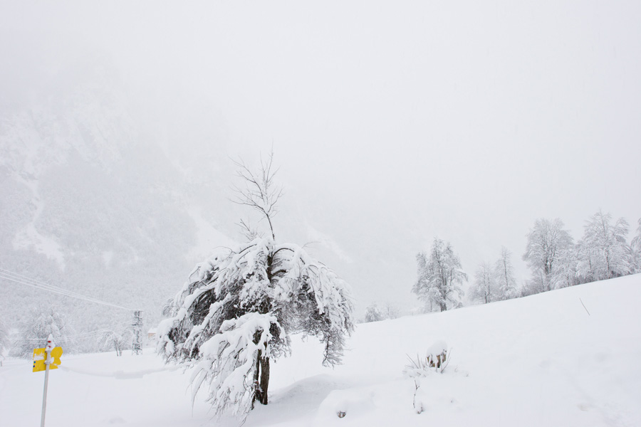
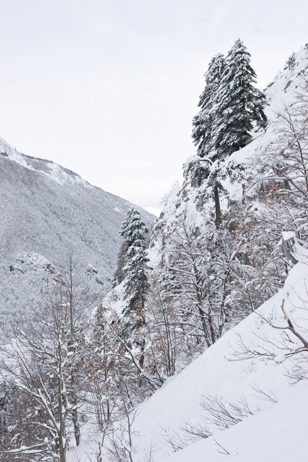
Prokletije Mountains, January 2010.
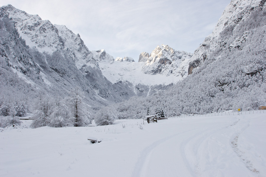
Prokletije (literal translation from Serbian: "The Cursed Mountains") are a high mountain range on the southern border of Montenegro and Serbia towards Albania. They are the highest, steepest and the most rugged member of Dinaric Alps group. Rock base is mostly limestone, forming a magnificent high karst topography. Prokletije are composed of complex set of star shaped ridges which are separated by numerous glacial valleys. Although there are no glaciers now, evidence of their existence can be seen everywhere around. Elevation of mountain peaks mostly ranges from 2000m to 2600m, with the highest ones being Maja Jezerce 2694m ("The Lake Peak", located in Albania) and Đeravica 2656m (located in Serbia). Large majority of peaks in Prokletije are very steep and rocky, so climbing is usually recommended to skilled mountaineers only. However, this whole region is so beautiful and diverse, making it rewarding for every visitor.
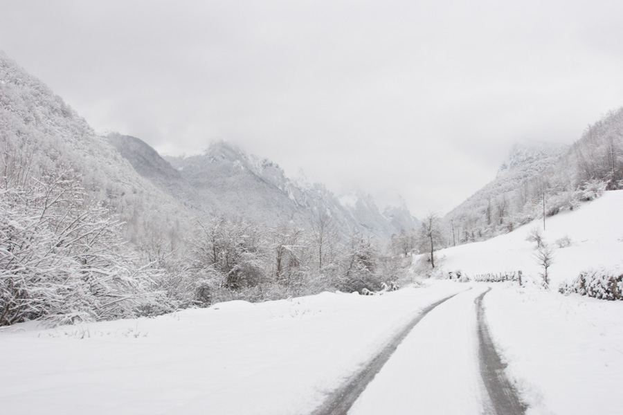
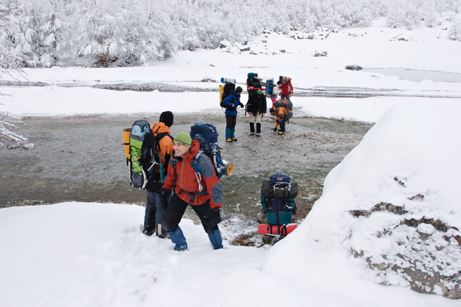
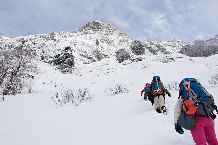
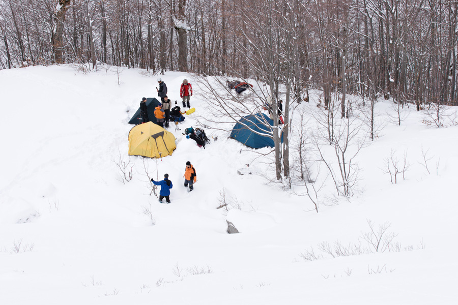
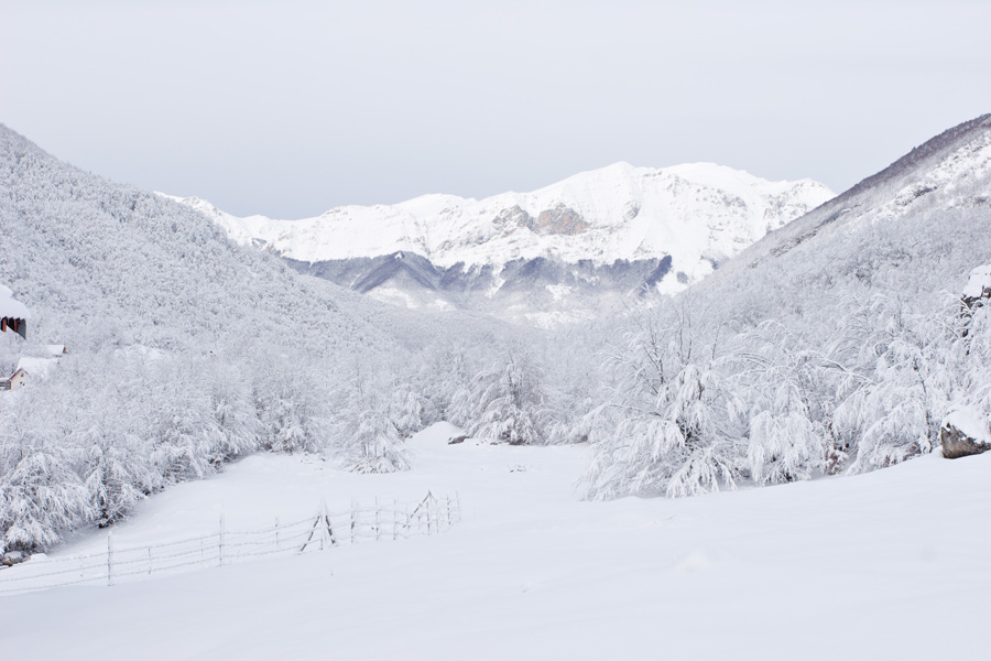
One of the most beautiful ridges of Prokletije is called "Karanfili" (sometimes referred to as "The Massif of Vezirova Brada"). It is located in Montenegro, between the valleys of Grbaja (Grebaje) and Ropojana. This is the home of some magnificent peaks like Očnjak 2185m (translated from Serbian: "The Fang", "Maja Njeri i Krit" in Albanian - "Peak of the Frozen Man"), the Great Peak of Karanfili 2490m (Serbian: "Kremeni Vrh" - "The Flintstone Peak"), Karanfili Ljuljaševića 2240m and many others. Access to these peaks is from Grbaja valley where a small mountain hut is available (Mountain Hut "Branko Kotlajić", maintained by the Mountaineering Association "Radnički" from Belgrade, Serbia). The hut can be reached by car (in good weather conditions) by road going from Gusinje village. Upon arrival to Gusinje, you should visit the local police station to report your stay, a formality because of the national border vicinity.
Vezirova Brada ridge from Grbaja Valley
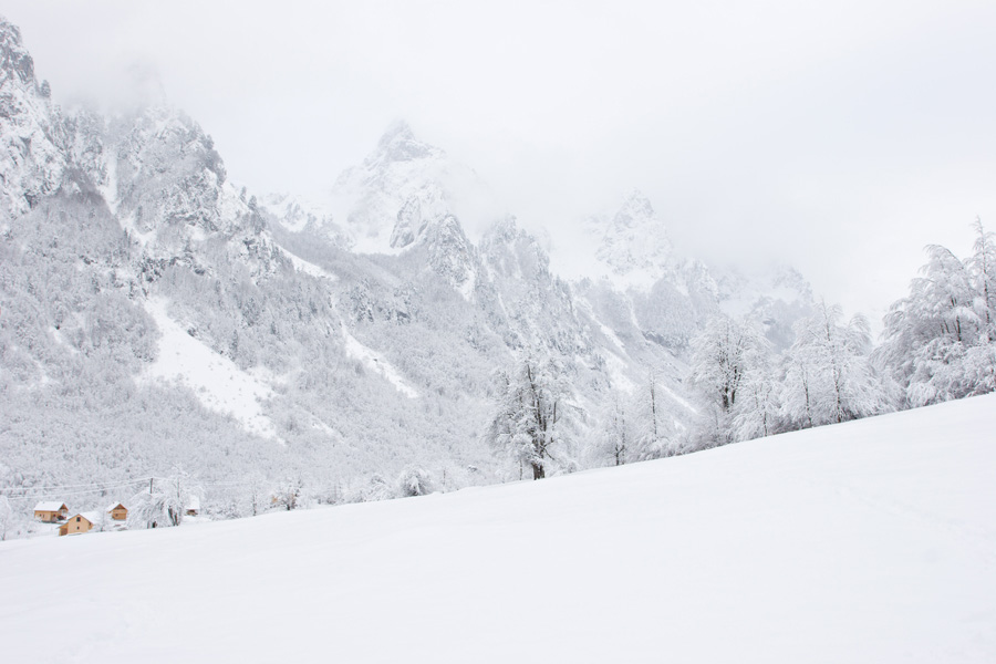
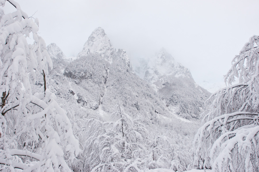
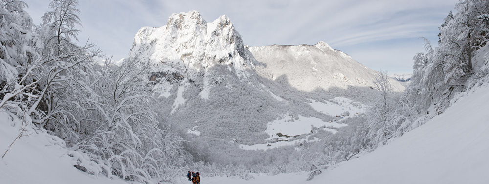
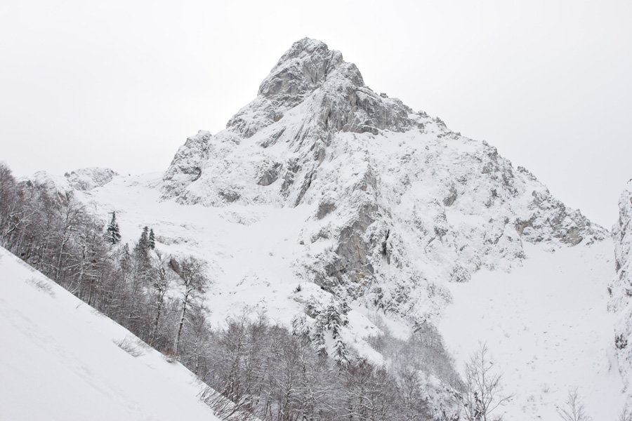
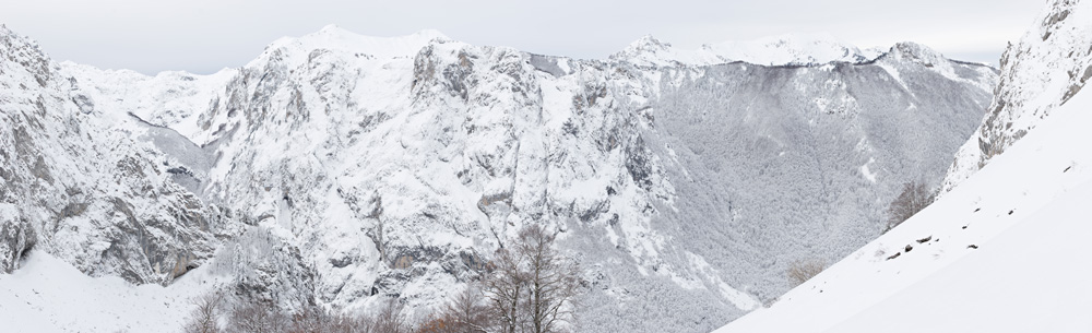
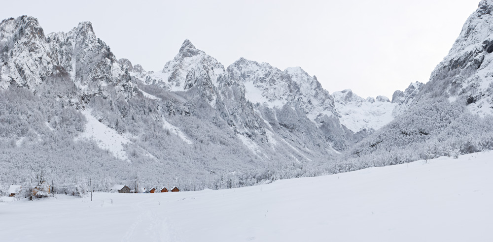
Prokletije peaks in the morning cold of -18℃: On the left and closest is the Jagnjičar peak. Next, over the deep Ljubokuća couloir stands a prominent pyramid with a sharp crest called Očnjak 2185m. Behind it stretches the deep Krošnja couloir, above which tower the Karanfili which have three major peaks: The North Peak 2460m ("Balino Brdo"), The Great Peak 2490m ("Kremeni Vrh"), and The Southern Peak 2441m. Only the North Peak is clearly visible from Grbaja, the second two are difficult to distinguish when looking from below. Behind Karanfili peaks is the border with Albania (Maja Koprištit peak (2450m) can be seen in the background).

Panorama in front of the Mountain Hut "Branko Kotlajić" (VR)
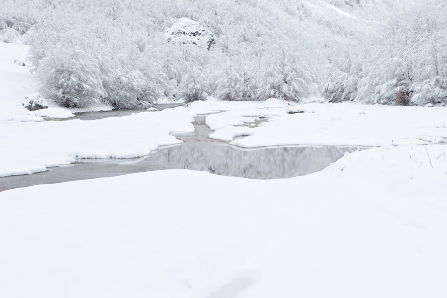
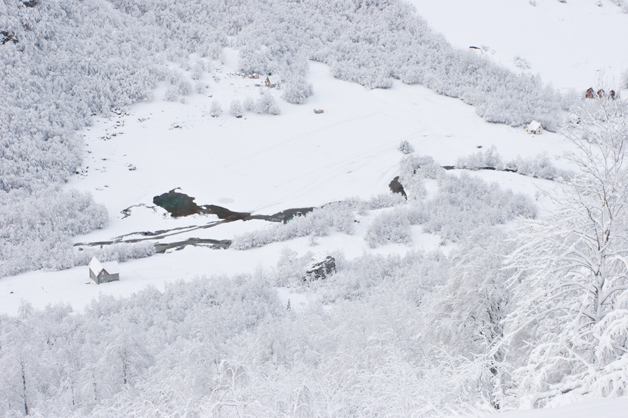
With around 16 beds, no electricity and only running water, this mountain hut might be called luxurious in these remote parts. The closest hill to the hut is called Volušnica peak (1879m). In the same ridge is the forest covered Karaula peak (1915m). Across Volušnica and Karaula ridge is the already mentioned Vezirova Brada with Karanfili peaks. The slope on which the mountain hut is built is actually a terminal moraine of the long extinct Grbaja glacier.
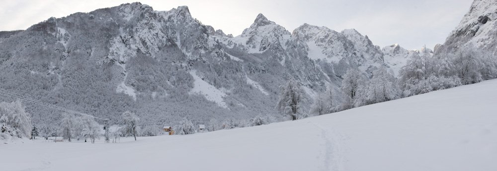
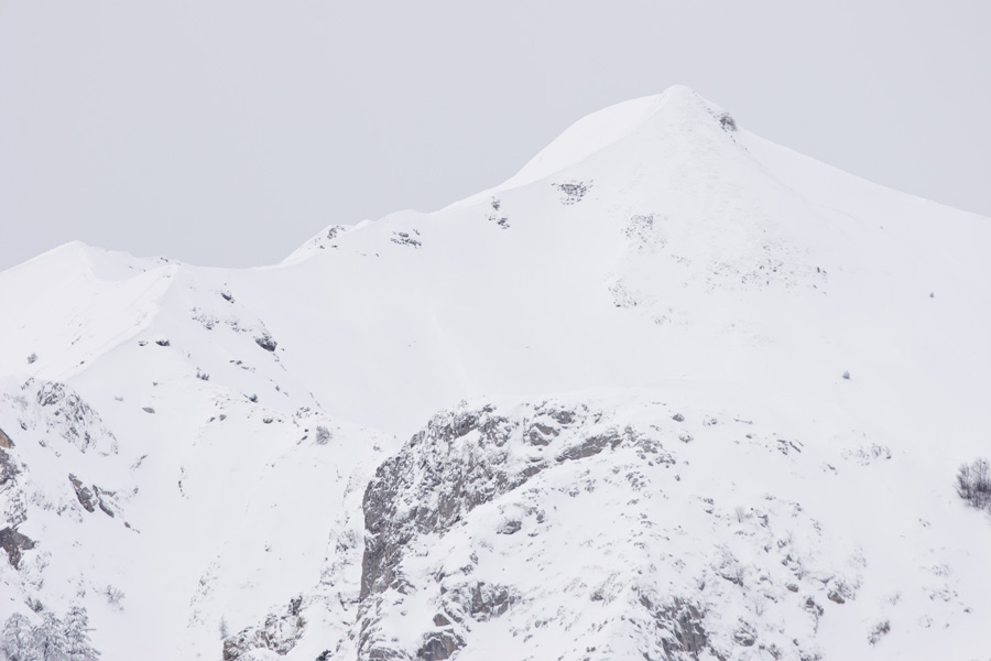
Volušnica ridge view from Ljubokuća
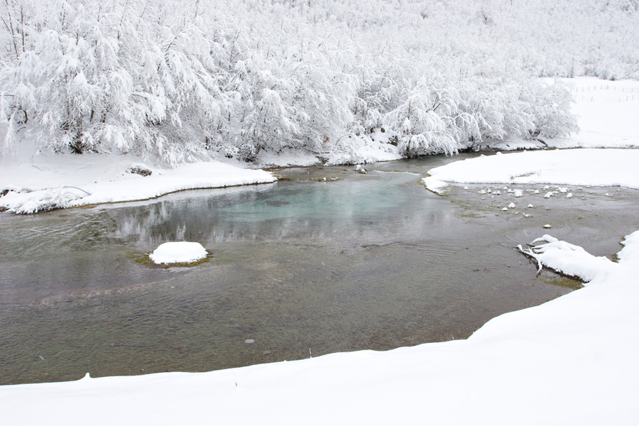
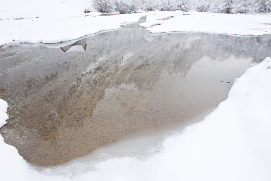
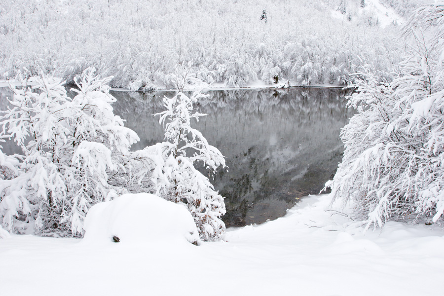
View of the steep, southwestern Volušnica face, as seen from the bottom of Ljubokuća couloir. To the right is the Karaula peak, a rocky crest above a dense forest. Below in Grbaja valley, the "First Meadow" can be seen (where the small lake is) and the Škala field (where the mountain hut is).
Very large size image (Deep Zoom)

Ljubokuća - The base of Očnjak peak (VR)
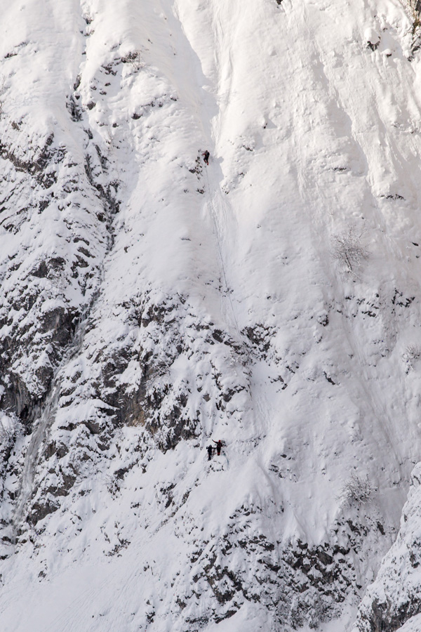
Očnjak is among the most attractive peaks in this area, mostly because of its visual prominence and a rather demanding climb despite the season of the year. Climbing path goes up a long, steep and narrow ramp-like ledge which can be seen from here. Next follows a system of even narrower ledges combined with shorter steep climbs. The use of safety equipment is mandatory, and the climb is recommended only to skilled mountaineers.
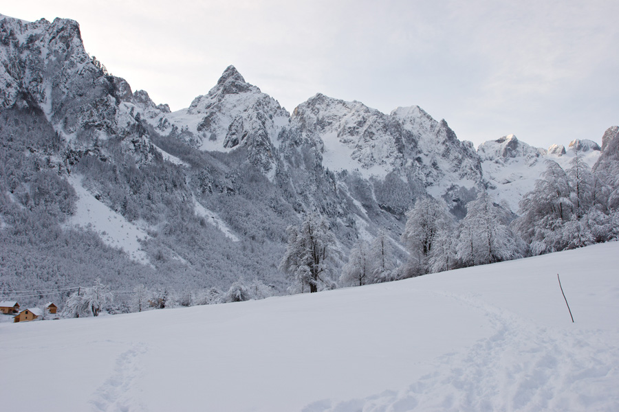
Volušnica from Ljubokuća
Directly behind Volušnica is Popadija peak (actually two peaks of which the left is higher, 2057m), and following the ridge to the right is Talijanka (2120m) and Trojan (2190m). Border between Albania and Montenegro follows this ridge.
Late afternoon below Očnjak and Karanfili
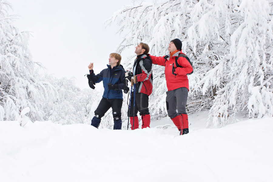
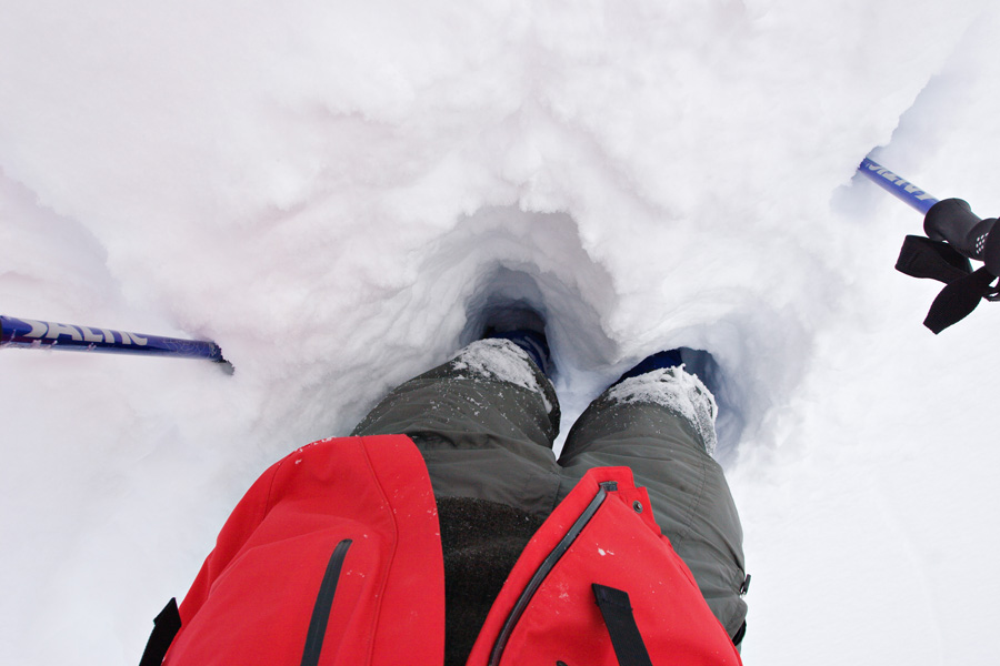
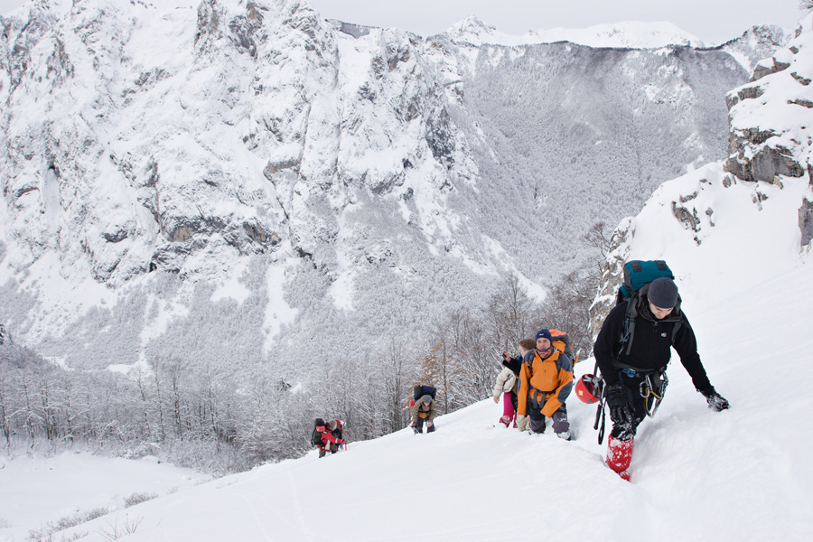
Global climate change has taken its toll on Prokletije snow quality and the climbers this January of 2010. Obvious evidence of glacial erosion might lead one to assume rich snowfall in this area. This was quite true in past decades, but the turn of 21st century has brought abrupt temperature changes during winter, causing significant melting and preventing the ground from freezing. Walking through loose wet snow over a layer of slippery grass and fallen leaves proved to be difficult and dangerous. Threatened by avalanche danger, the first group (including me) climbing up through Ljubokuća towards Očnjak had to cancel the ascent at around 1800m. Climbers on Volušnica south face made the same decision and turned back as well.

Late afternoon below Očnjak and Karanfili (VR)
360 degree full spherical panorama from the Škala meadow.