Prokletije Mountains, June 2012, July 2022.
Earlier I wrote about Prokletije and Grbaja valley in the previous page. These are my visits in summer, when everything is more accessible and less dangerous. For this reason I put more information and descriptions on this page. The first set of photos is from June 2012, and the second from July 2022.
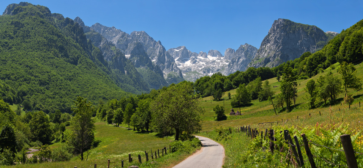
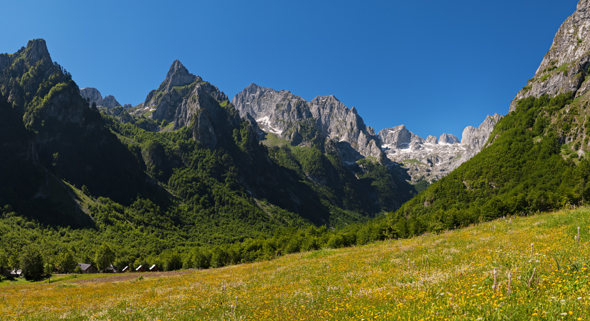
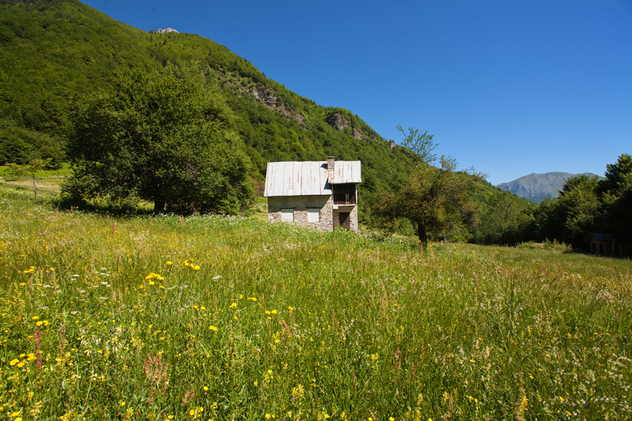
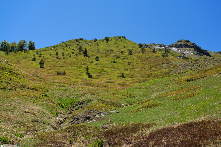
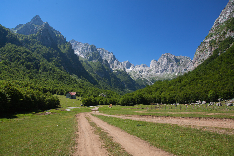
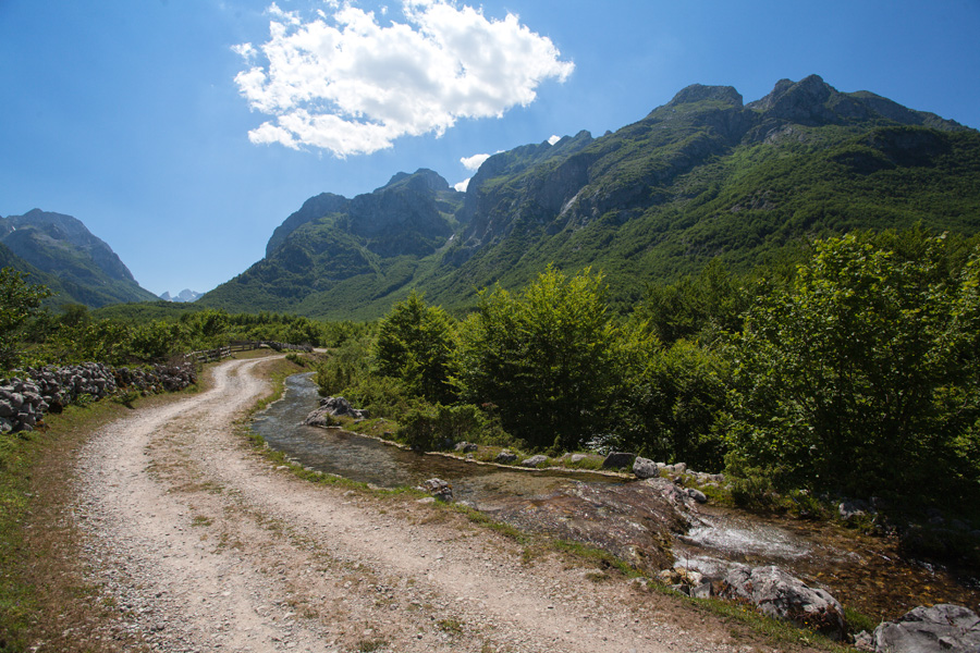
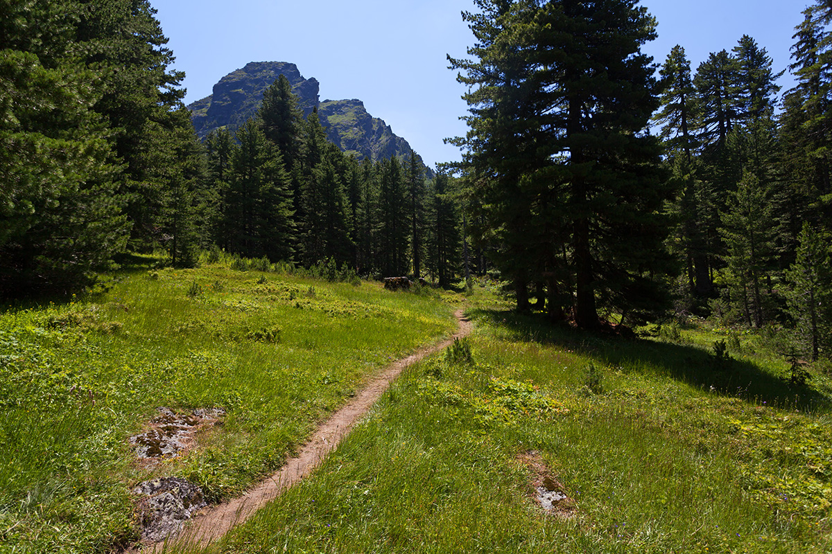
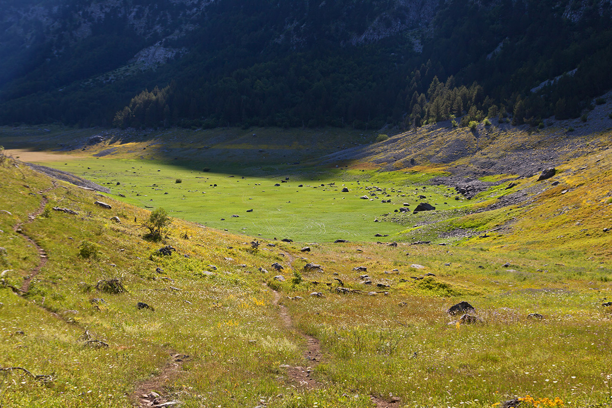
Entrance to the Grbaja Valley
Grbaja (aka Grebaje) is one of the most beautiful glacial valleys of Prokletije. The rugged chain of Karanfili on the left sprouts from the Madhe-Shkurt-Lagojvet massif in Albania. Its northern ridge closes off the Grbaja valley with Maja Xhevahirit (Serbian: Dževahirit) 2445m, Maja Preht 2466m, Maja Lagojvet 2540m, Maja Zastanit (Serbian: Zastanski vrh) 2275m and Maja Vojušit 2210m.


Grbaja Valley, Morning Panorama of the Škala Meadow (VR)
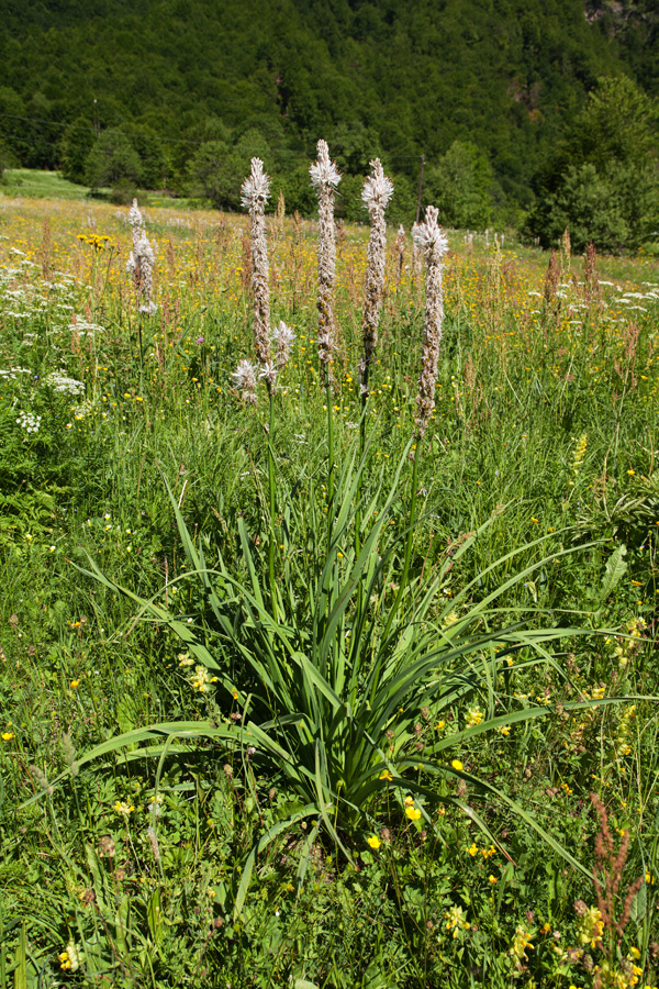
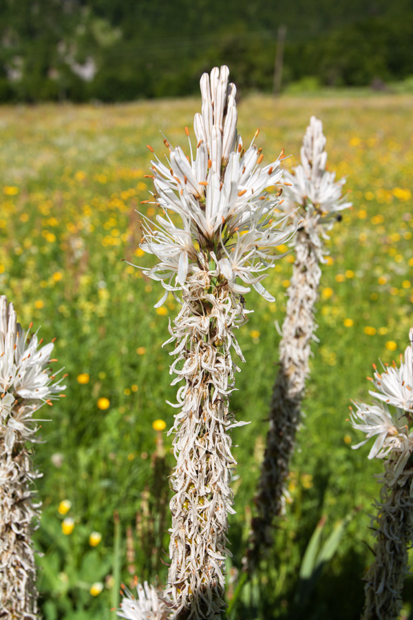
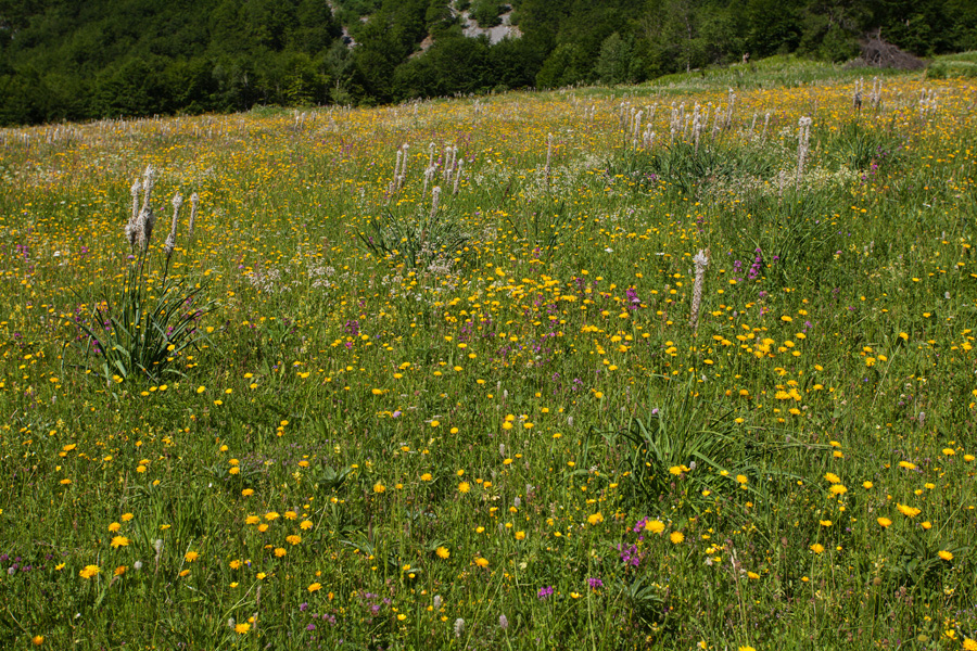
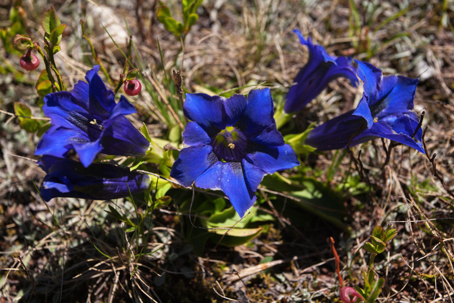
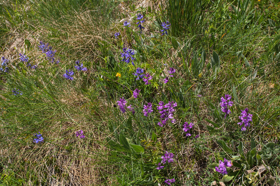
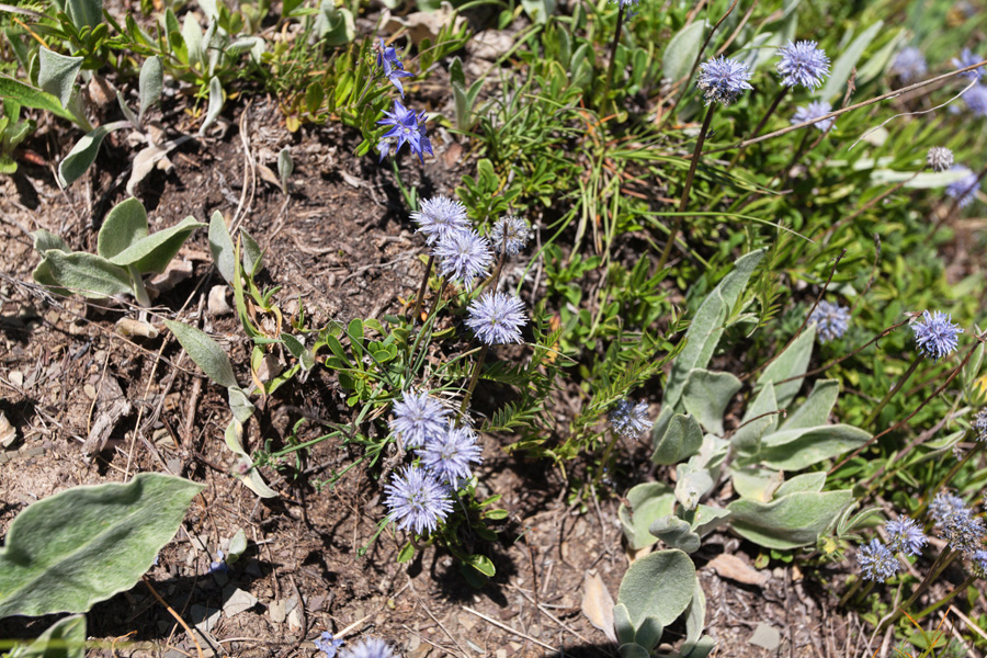
Early summer is the most colorful part of the year for these parts. Škala meadow produces excellent hay, and dairy products of the whole Montenegro are top notch.
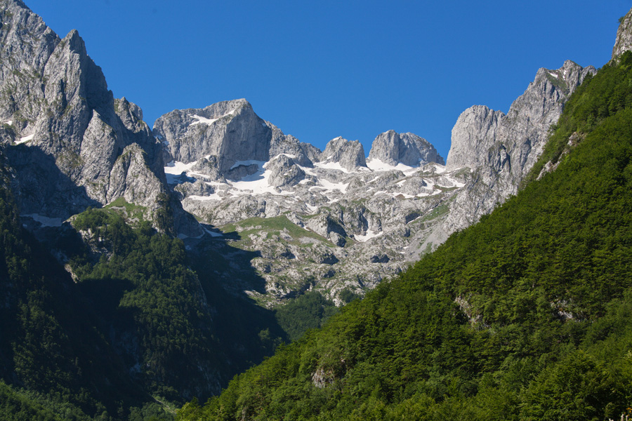
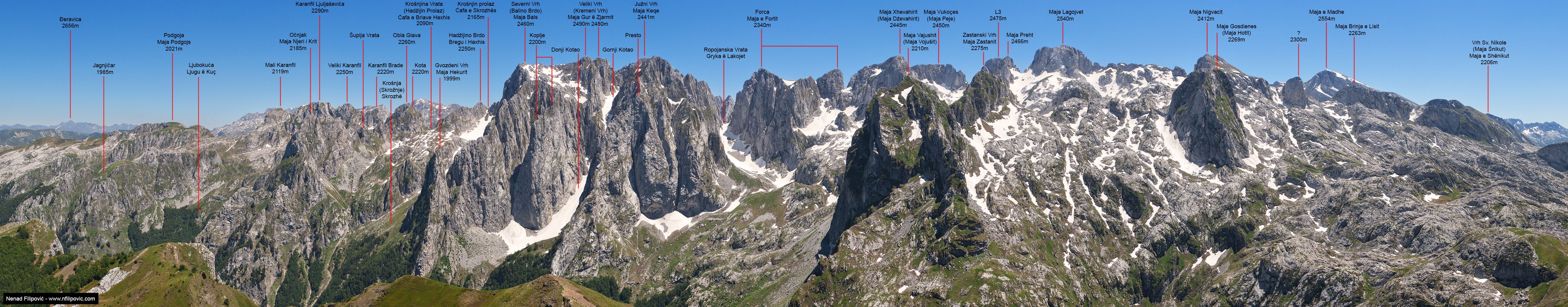
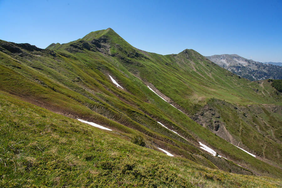
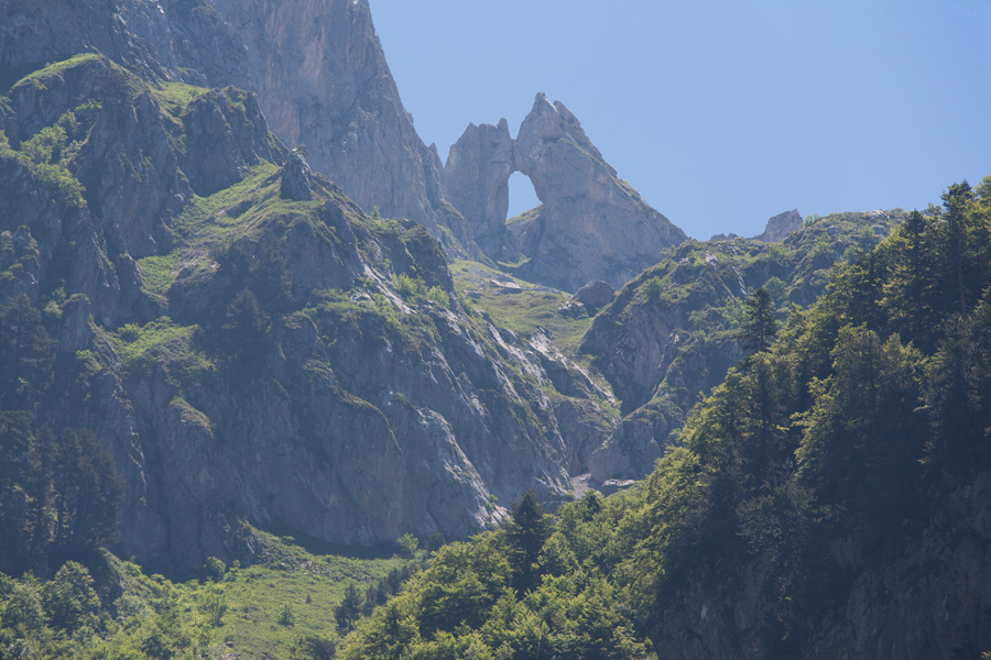
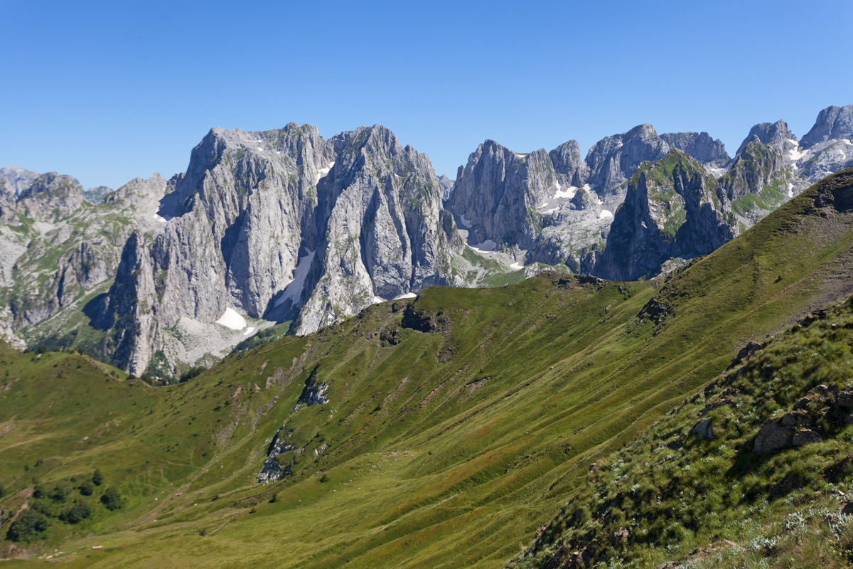
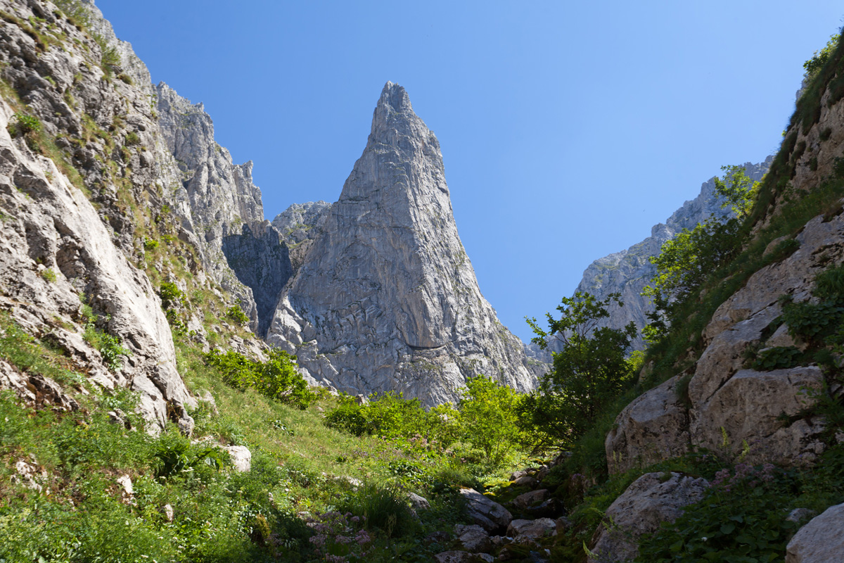
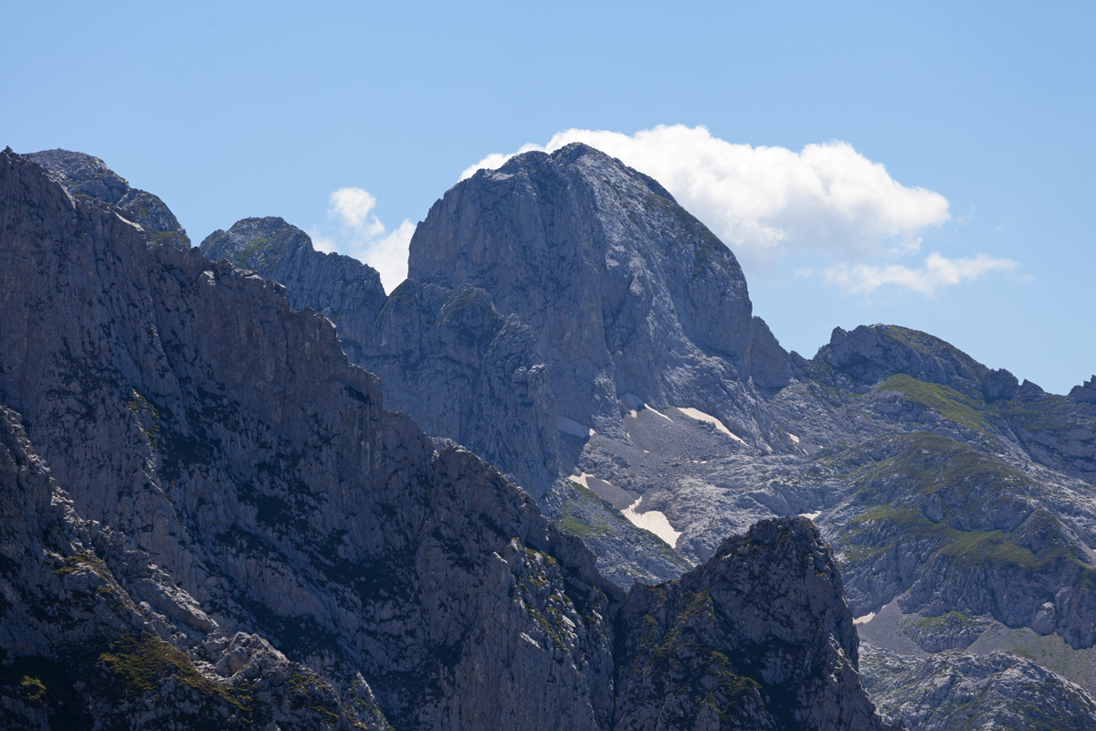
Grbaja Valley, View of the Karanfili Massif
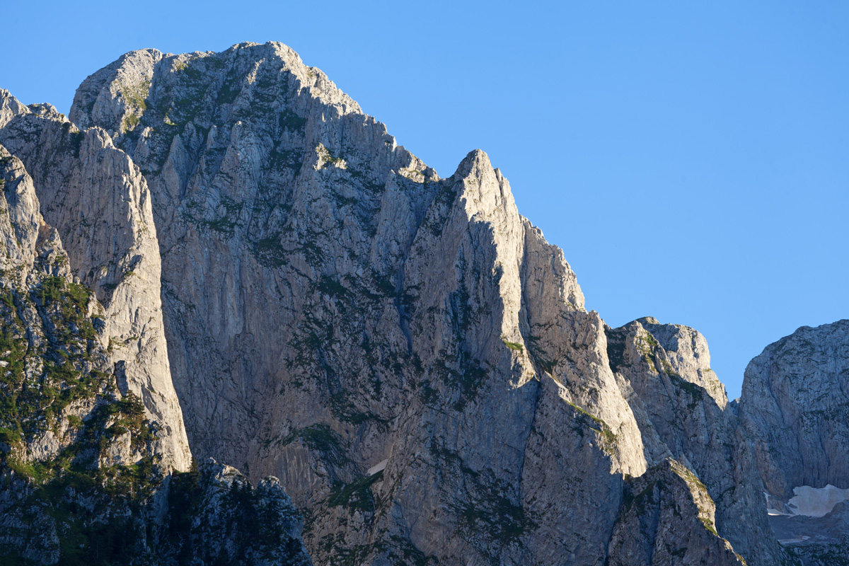
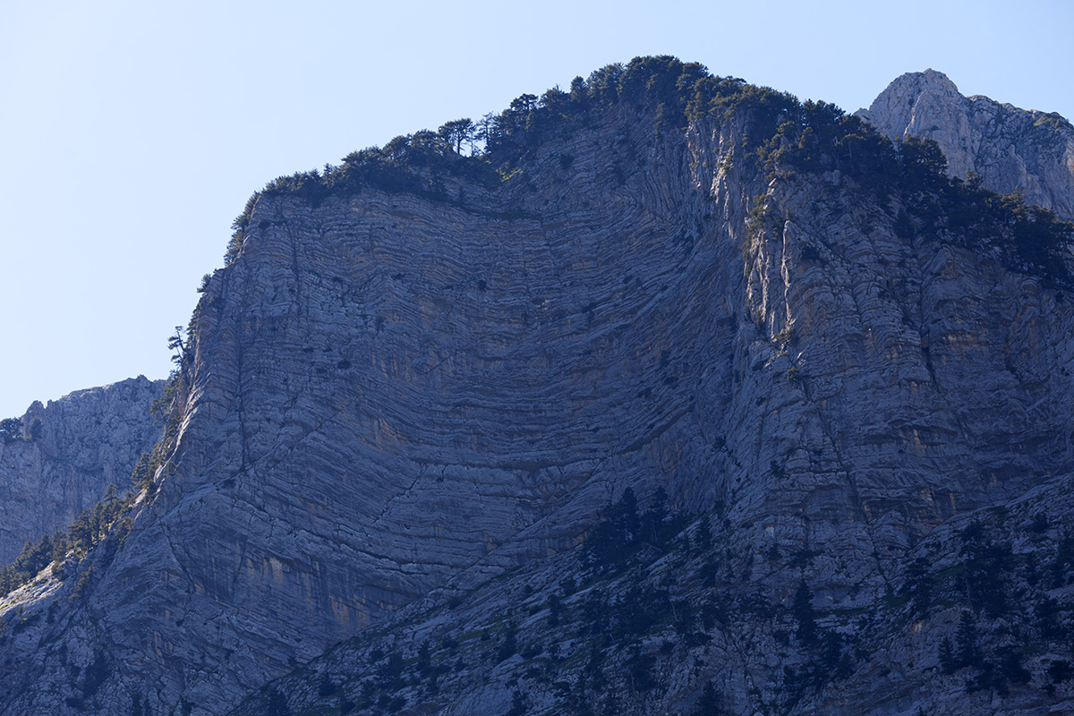
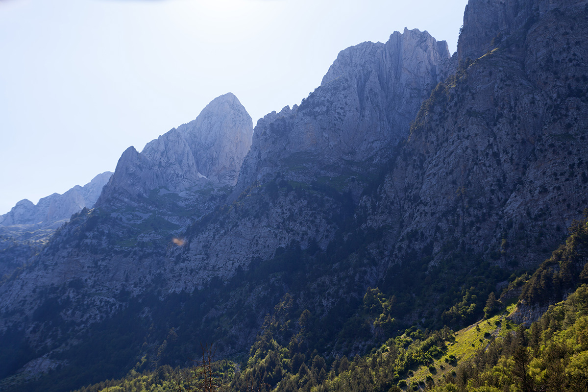
From the left, a flattened crest is the Jagnjičar peak 1985m. Sharp prominent crest above the Ljubokuća couloir is Očnjak 2185m (translated from Serbian: "The Fang", Albanian: "Maja Njeri i Krit" - "Peak of the Frozen Man"). Flat stone wall with snow at its base rises above the Krošnja couloir with the North Peak 2460m ("Balino Brdo", Maja Bals). The neighbouring Great Peak of Karanfili 2490m (Serbian: "Kremeni Vrh" - "The Flintstone Peak", Albanian: "Maja Gur ë Zjarmit" - "The Peak of Fire") is obscured from view. The next sharp, serrated rocky ridge belongs to the Southern Peak or Zlovrh 2441m (Albanian: "Maja Keqe" - "The Evil Peak"). Cliffs on its right side facing the valley form a rock shape called "Presto" ("The Throne"). Further behind Karanfili is the border with Albania, with distant peaks of the Madhe-Shkurt-Lagojvet massif.


Popadija Peak Panorama (VR)
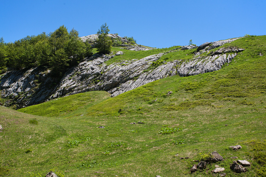
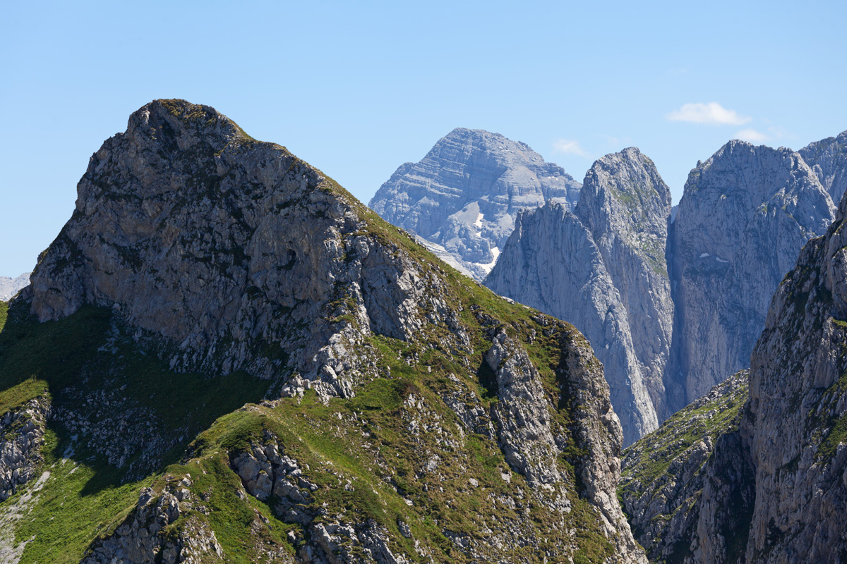
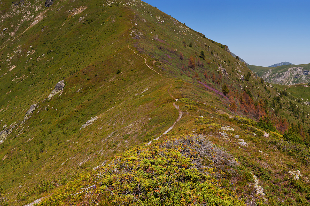
Popadija differs from its surroundings because of its marl and metamorphic rocks, so the slopes are more gentle here. A walking trail follows the ridge and summits at Volušnica peak, offering breathtaking views of Karanfili and eastern Prokletije.
.jpg)
Popadija View of Karanfili and Prokletije
Very large size image (Deep Zoom)
Use the annotations from the image below to help explore the large panorama. Browser links will open in separate tabs.
Annotated panorama with summit names


Volušnica Peak Panorama (VR)
Volušnia peak 1879m towers directly above Grbaja valley northwest side. Grandiose Karanfili dominate the view southeast, the Talijanka-Popadija twin peaks west, and Karaula to the north.


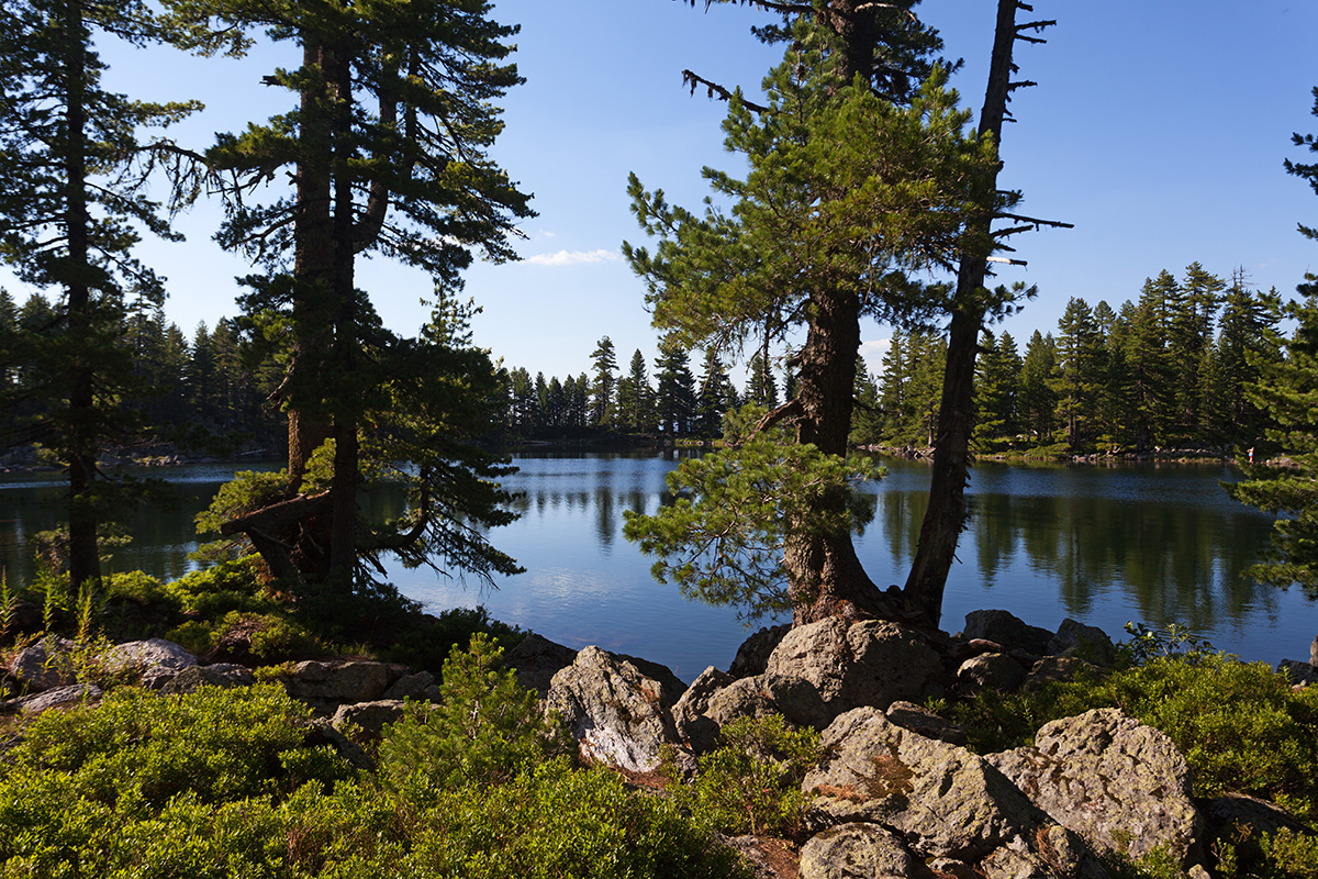
Grbaja, The Second Meadow Panorama (VR)
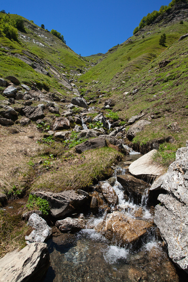
Škala meadow in Grbaja sits on the terminal moraine of the long extinct Grbaja glacier. The cirque above it is more narrow and composed of three small meadows which people call The First, Second and The Third Meadow. Giant boulders scattered around detached from the cliffs above long time ago, and smaller rockslides can be heard almost every day.

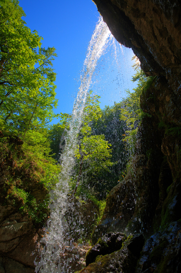
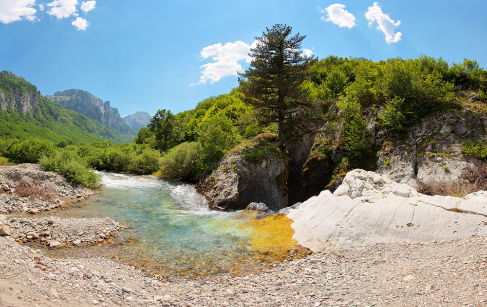
Ropojana Valley, Savino Oko Karst Spring (VR)
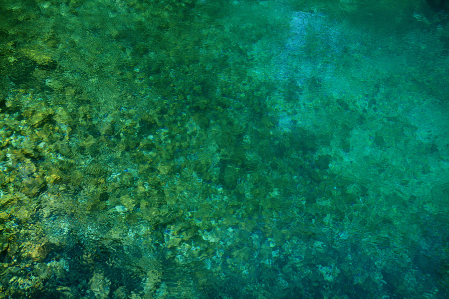
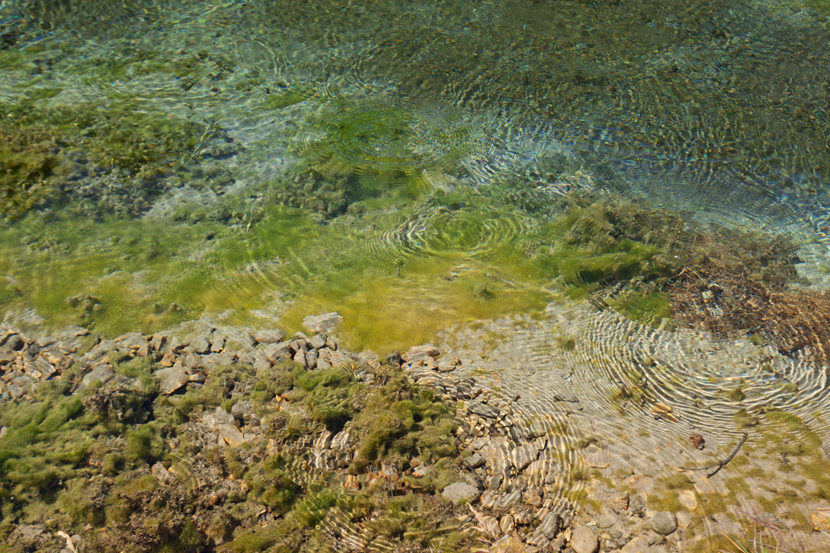
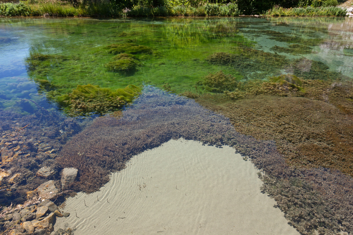
Savino Oko (a.k.a. Oko Skakavice) is a powerful karst spring in the Ropojana valley. Its crystal clear waters are freezing cold (usually between 5-7℃). Skakavac stream forms much before this place, but here it gets the major inflow of water. Downstream it changes its name to Grlja River, just before entering its magnificent canyon.
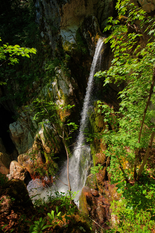
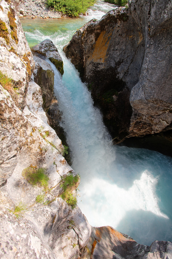
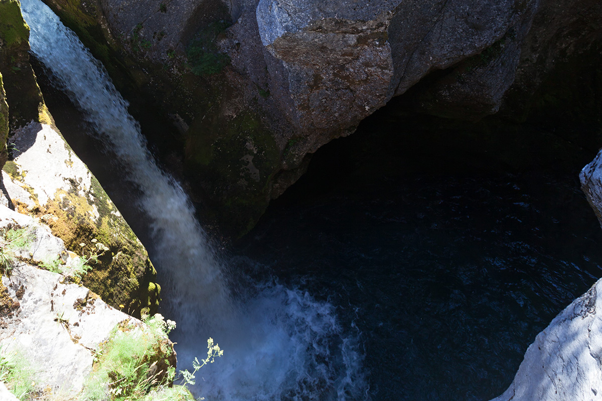
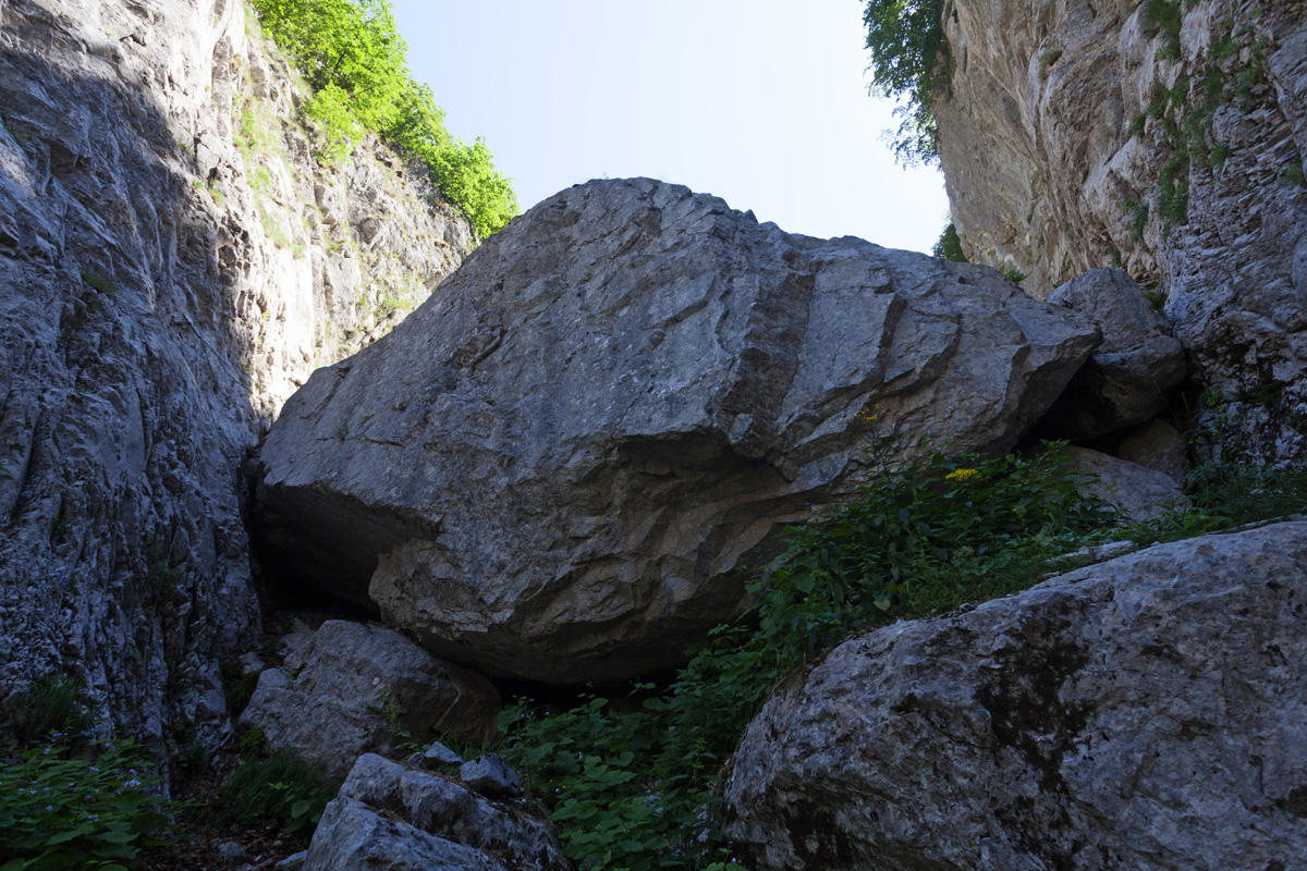
Ropojana Valley, Entrance to the Canyon of River Grlja
This is where Grlja River cuts through the soft rock of the Ropojana glacier terminal moraine. The canyon is rather short (around 500m), but is only a few meters wide and full of cascades and waterfalls. It can be traversed using climbing gear and scuba suits as protection from the ice cold water.

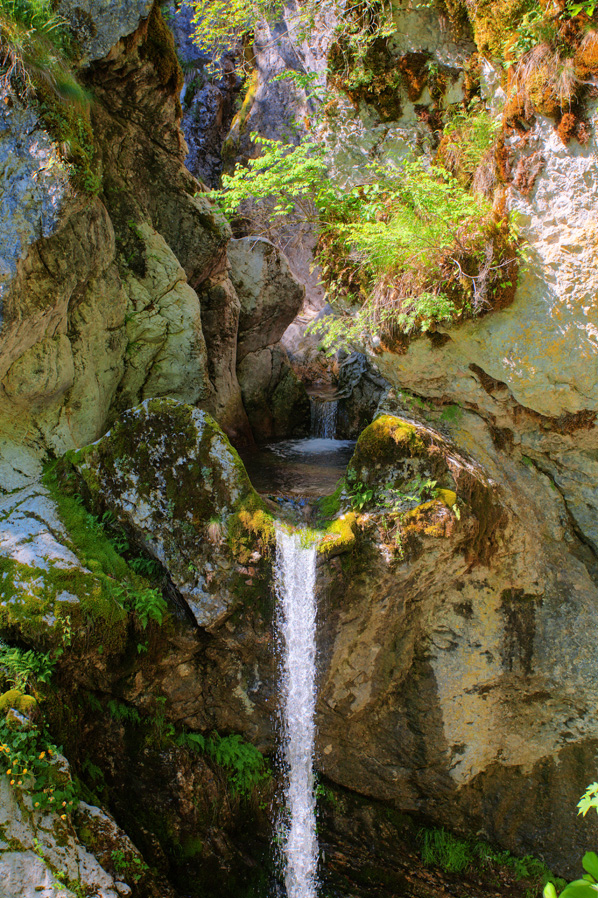
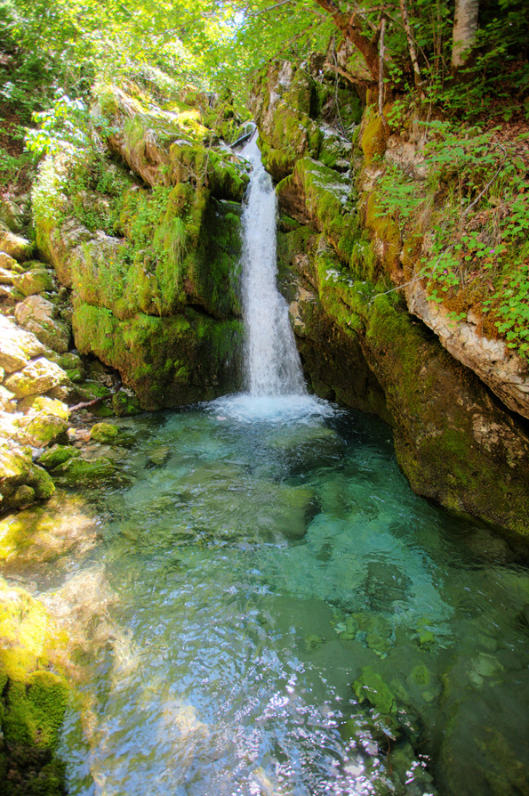
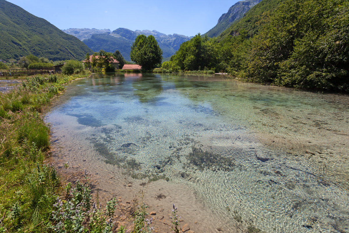
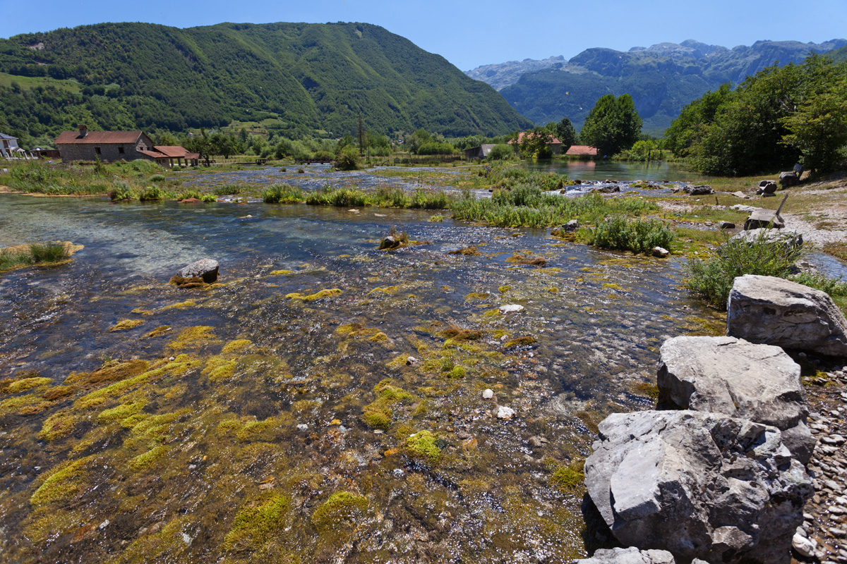
Ropojana Valley, Alipašini Izvori (Springs of Alipaša) (VR)
Karanfili massif ends near Gusinje with the ridge called Vezirova Brada and Rogopeć peak 1781m. At the eastern foothills of Rogopeć lies a 1.5km long belt of numerous karst springs called Alipašini Izvori. Water gushes out of the rocks all around this place, forming streams and small lakes. It later joins ith the Grlja river.
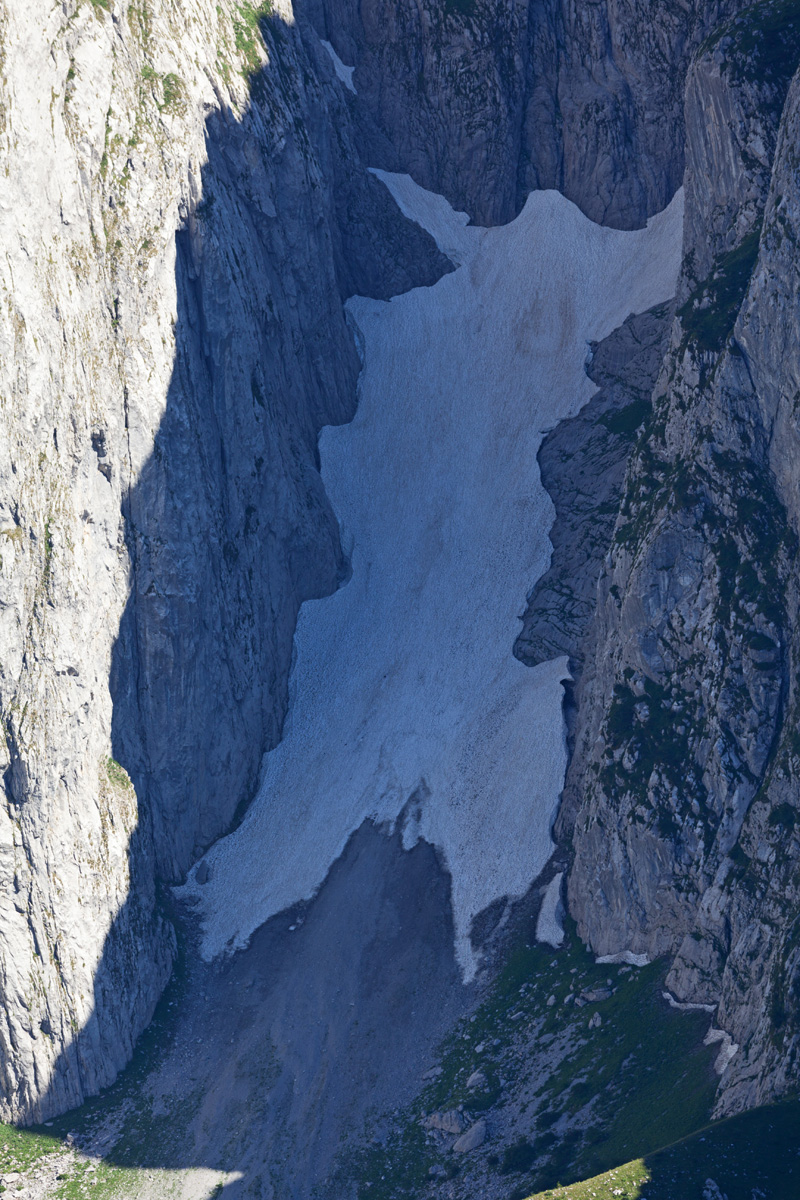
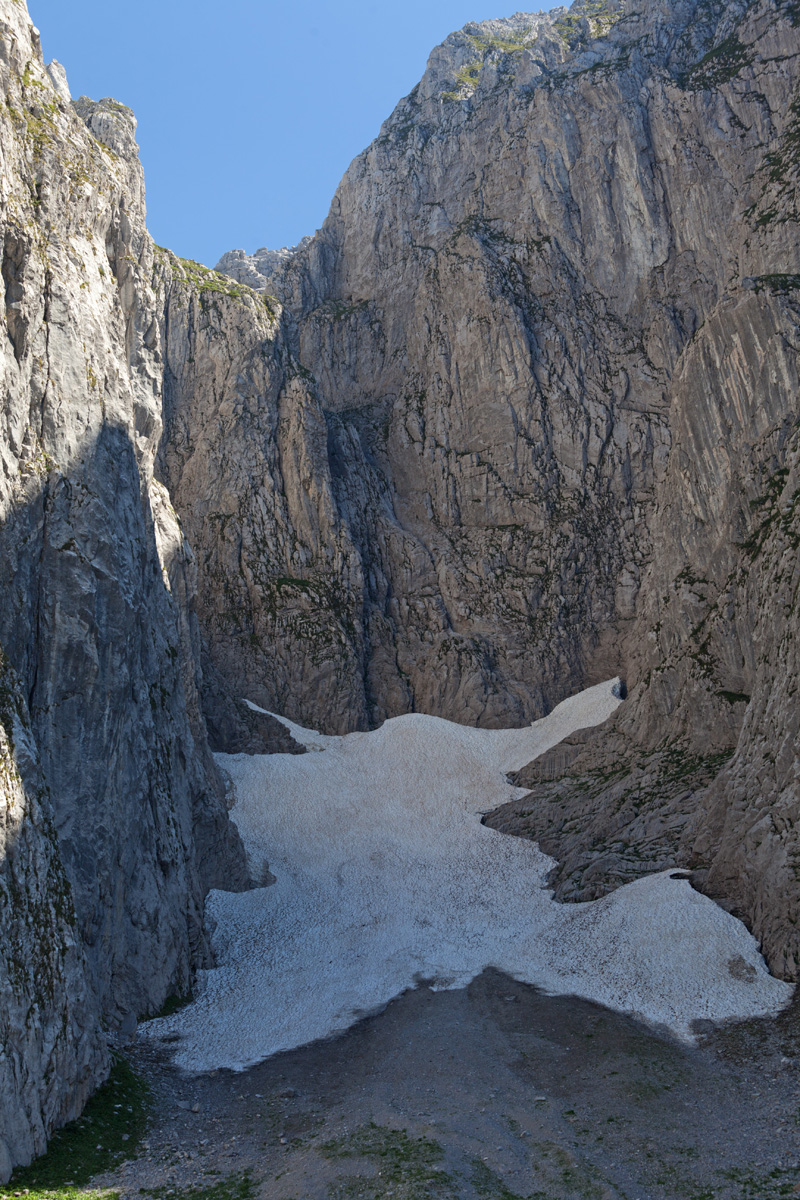

Donji Kotao ("The Lower Pot") (VR)
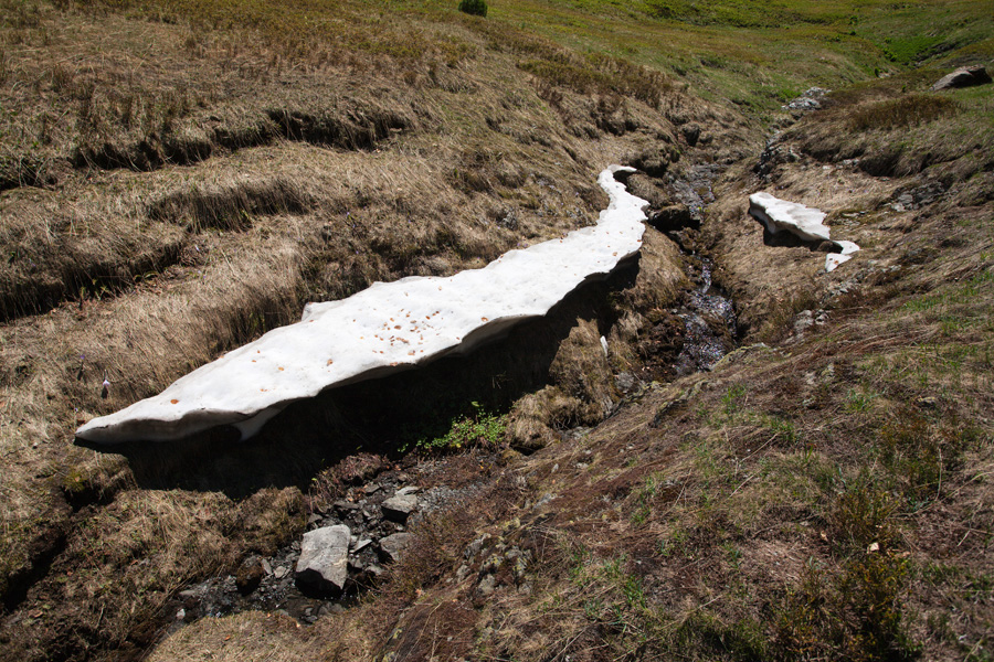
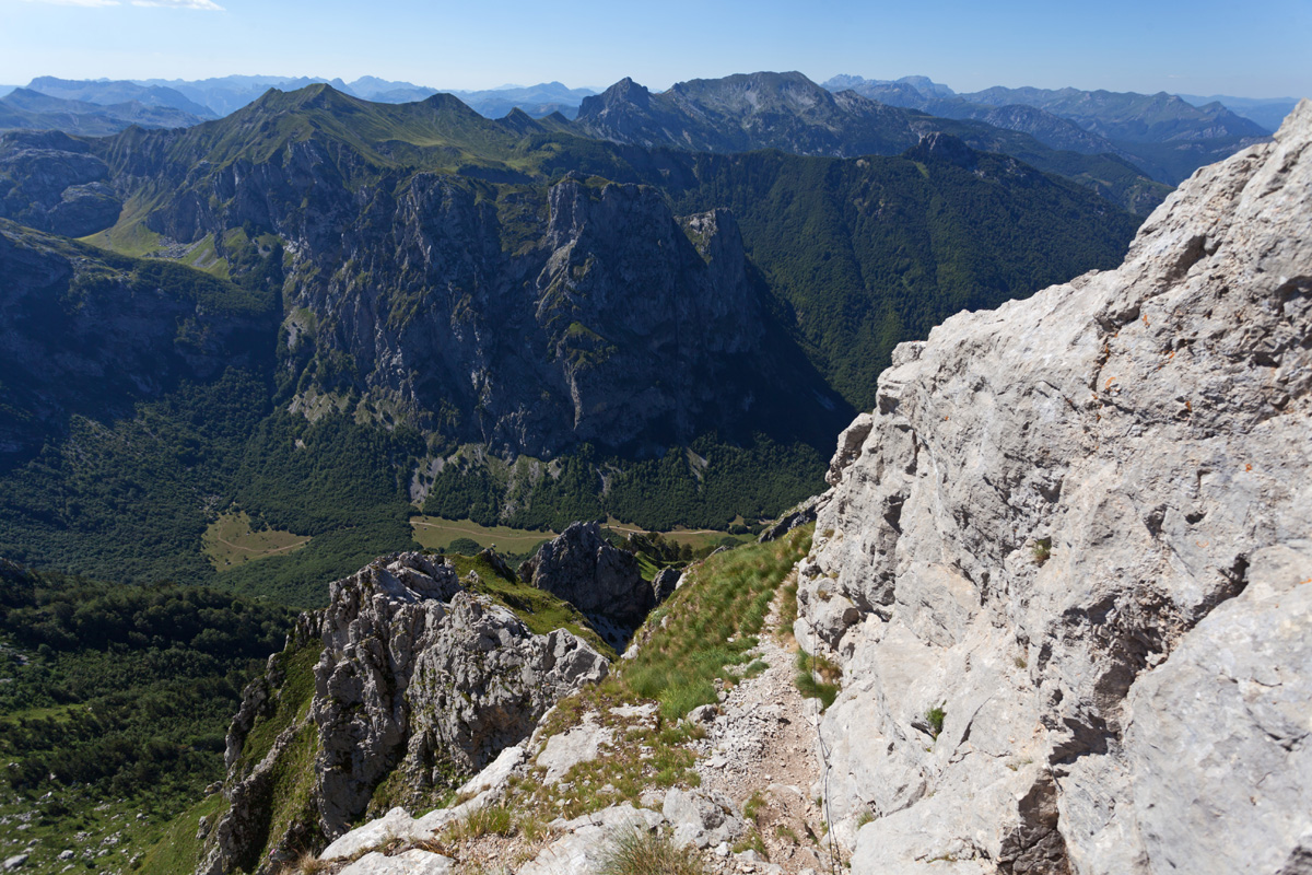
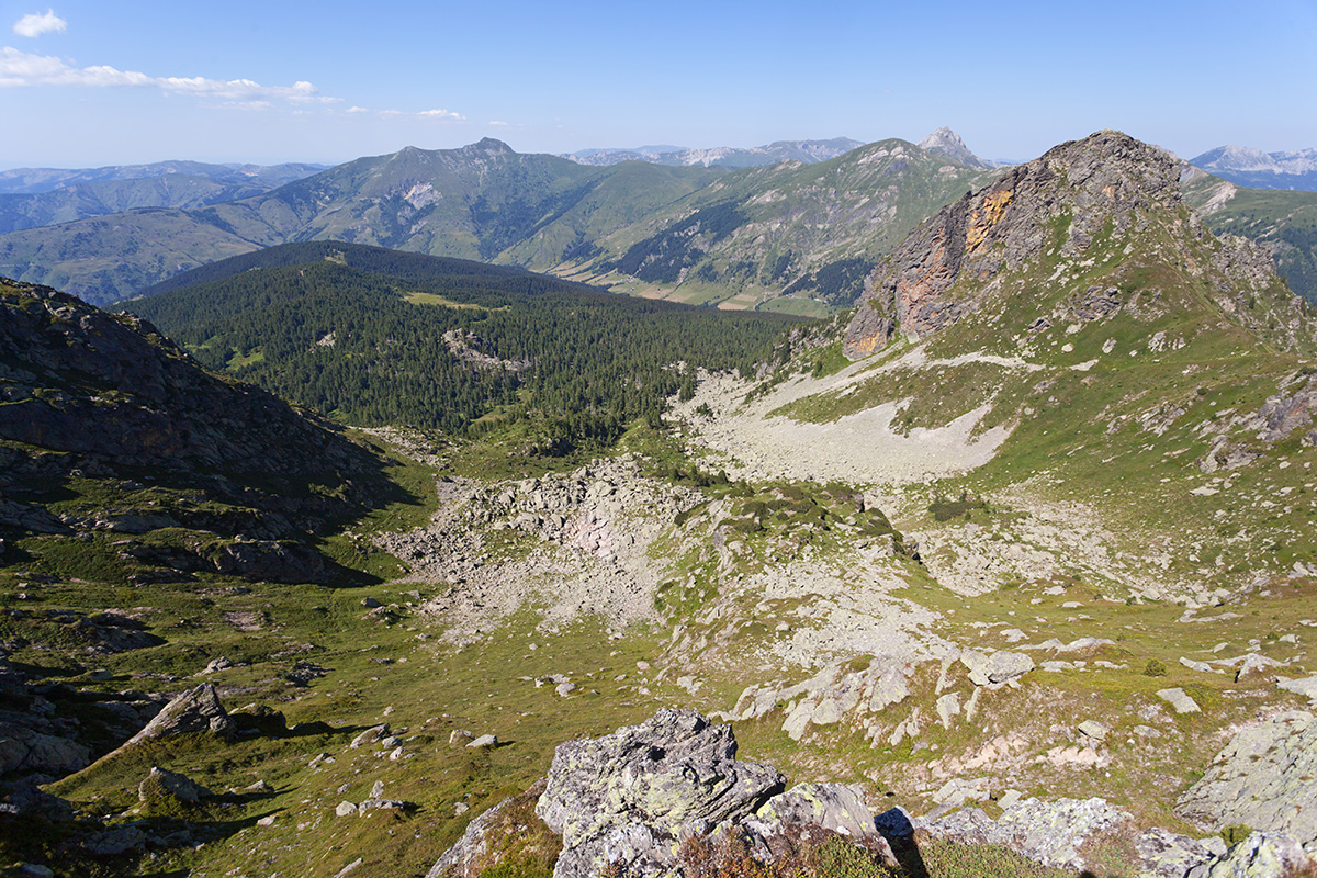
A deep and narrow cirque ending the couloir at the foothills of Veliki Vrh and Južni Vrh. It is home to Europe's lowest altitude snow field (aka "firn", in Serbian: "snežanik"), a year-round permanent slab of snow surviving in a shade at 1650-1800m. Such accumulation is not large enough to be called a glacier. Left from it rises the monumental vertical face of the Koplje peak, one of the most challenging climbs in Europe. A steep path leads to Gornji Kotao ("The Upper Pot"), a more higher cirque directly below the summits.
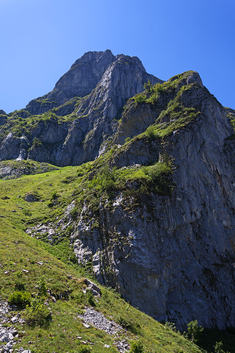

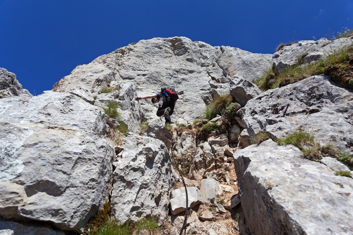
Očnjak 2185m, Base of the Final Ascent at 2050m Panorama (VR)
Probably the most iconic and prominent peak directly above Grbaja, Očnjak is very popular. It is however a considerably dangerous and demanding climb for regular mountaineering. The most treacherous section starts soon after the right turn at approx. 1870m from the wide Ljubokuća couloir - the long grassy slope inclined at approx 45° with many slippery points. Stratigraphic layering of chossy sediments is parallel to the slope, making it slippery and unpleasant to walk. It ends at 2050m, and due to its length it is not practical to secure it using rope all the way. Due to this fact it is often hiked and scrambled unsecured, but failing to do this properly (scramble carefully facing the rock on all demanding sections, especially during descent) has lead to fatal accidents. Groups larger than five are not recommended due to danger of toppling loose rocks onto fellow climbers.

Očnjak 2185m, Panorama from the Summit (VR)
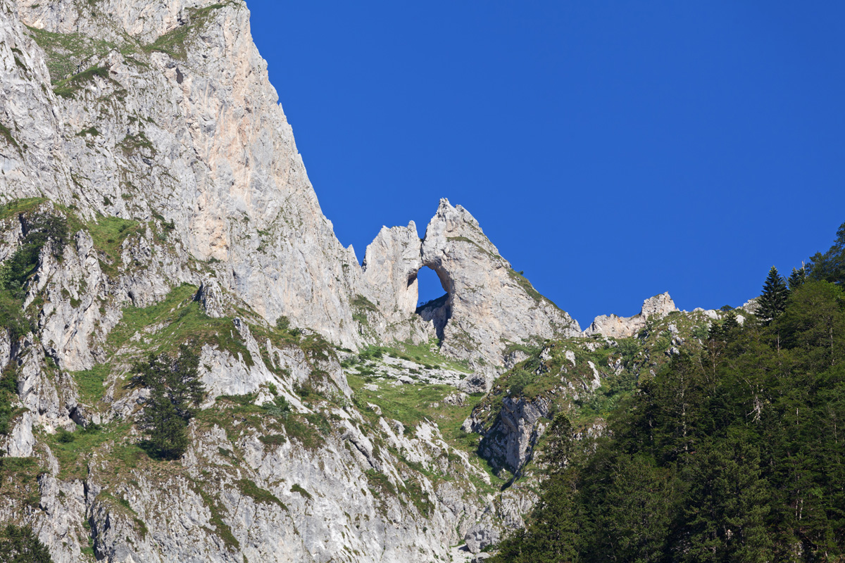
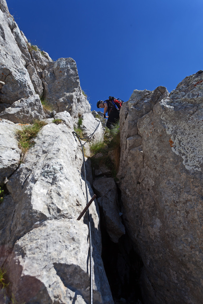
The final ascent features easier technical elements, but chossy rocks still demand great care. Trail is secured most of the way by a steel cable with the best intent, but reality is often different. Care must be taken as even though the anchor points are strong, the associated rocks are not. They are known to fall off unexpectedly, sometimes even snapping the cable. It is recommended to avoid using the cable on all places where anchors are on pointy and bulging edges which can potentially break off. The trail itself is attractive and exposed with stunning views, including the summit itself. Šuplja Vrata can also be seen from here.

Severni Vrh 2460m Panorama (VR)
Severni Vrh (aka "Balino Brdo" or Maja Bals) towers proudly next to Očnjak above Grbaja valley. The initial approach is a hike to the top of the Krošnja couloir, ending with Krošnjin Prolaz col and a stunning view east. That last part features easier technical elements and a steel cable, but similar to Očnjak on some traversal sections it may be better to rely more on own assessment and using natural rocks, rather than risk pulling out anchor rocks by pulling hard on the cable. A point slightly below the summit offers view of the Grbaja valley.

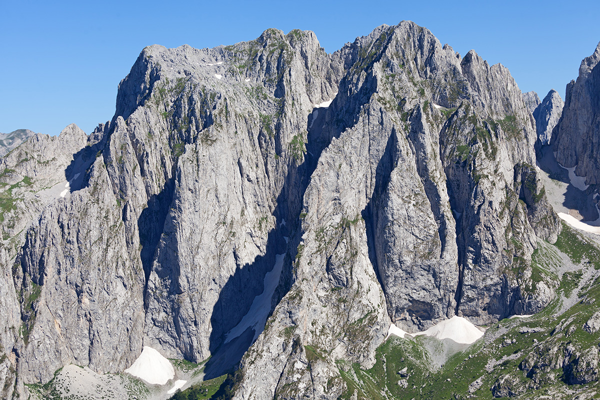
Veliki Vrh South Point 2480m Panorama (VR)
Veliki Vrh (aka Serbian: "Kremeni Vrh" - "The Flintstone Peak", Albanian: "Maja Gur ë Zjarmit" - "The Peak of Fire") are actually two close summits - north having 2490m and south having 2480m. It's got its name after flintstone protrusions scattered in its rocks. Although the crossing between Severni and Veliki Vrh is relatively safe with care, the crossing towards Južni Vrh (aka Maja Keqe - "The Evil Peak") is treacherous with chossy rocks and dangerous crevices. Due to the high altitude, ice can persist on both crossings for very long even in summer.
.jpg)
Veliki Vrh South Point 2480m 360° Deep Panorama
Very large size image (Deep Zoom)
Use the annotations from the image below to help explore the large panorama. Browser links will open in separate tabs.
Annotated panorama with summit names

Bogićevica mountain, Hridski Krš Peak 2358m Panorama (VR)
Bogićevica belongs to eastern Prokletije group. This region is geologically different from the heavily karstified central part, featuring igneous and metamorphic rocks. The terrain is less rugged, and there's also more forest here.
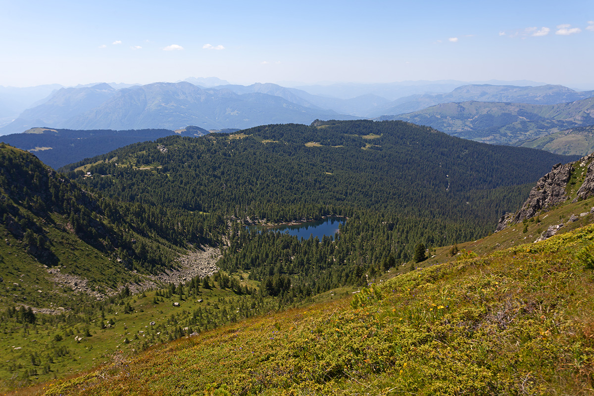
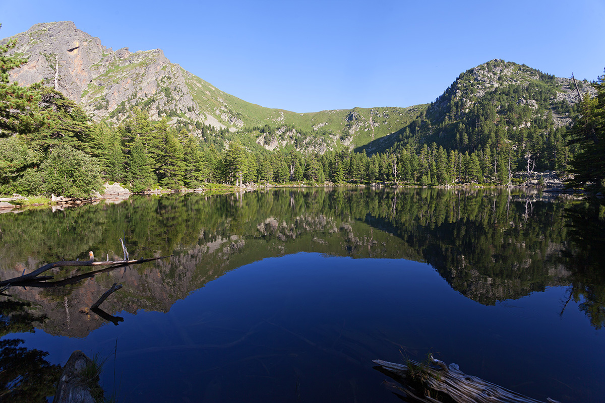

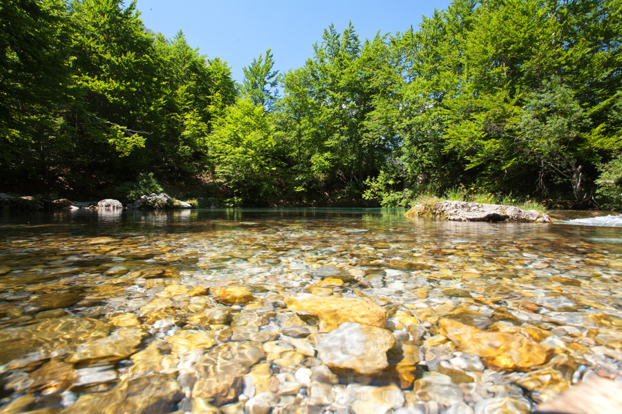
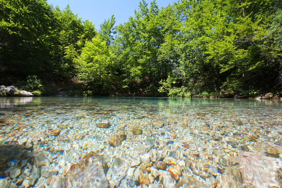
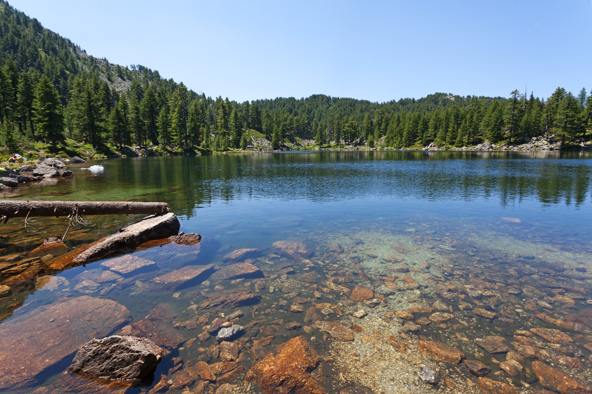
Bogićevica mountain, Hridsko Jezero 1965m Panorama (VR)
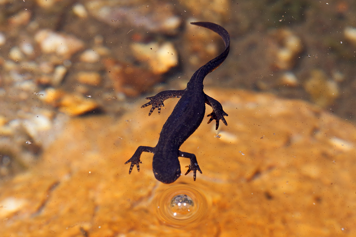
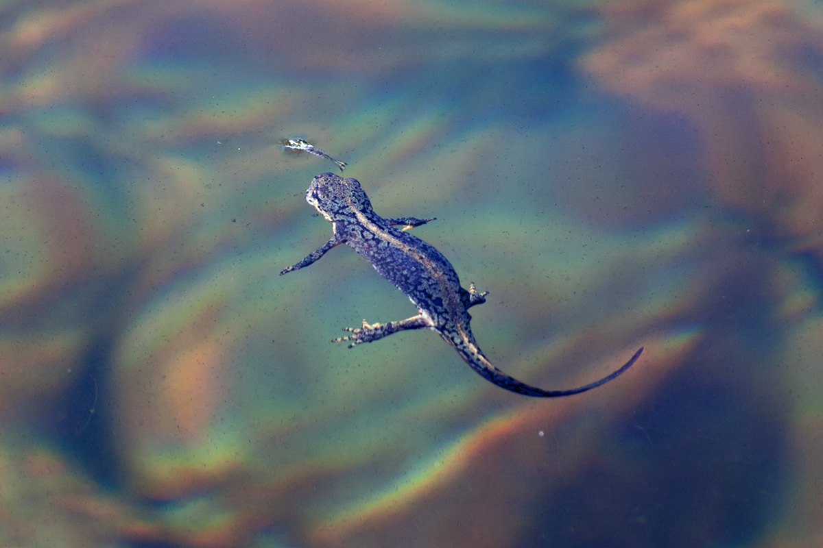
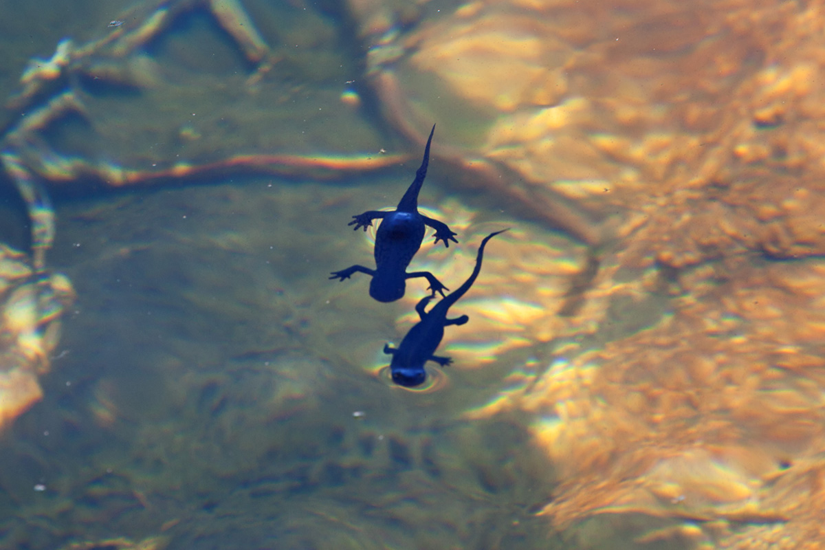
This lake is at the highest altitude of all in Montenegro, and also one of the most beautiful. It's surrounded by ancient forest and tucked at the heart of the wide cirque with gentle slopes. Thanks to high altitude no fish can live in it, therefore the indigenous population of ichtyosaura alpestris lizards survived in it. In July and August the crystal clear water is warm enough for a refreshing swim.


Ropojana Valley Panorama (VR)
Ropojana is on the other side of Grbaja, across the Karanfili ridge. Unlike Grbaja which ends rather abruptly in Albania with the high Madhe-Škurt-Lagojvet massif, Ropojana stretches further into the Fuša e Runices valley in Albania which ends with Ćafa Pejes saddle. Right at the state border a large temporary lake exists until early summer, the Ropojansko Jezero (Albanian: Liqeni i Gjeshtarës).