Maglić mountain and trip through Crna Gora (Montenegro) 2017.
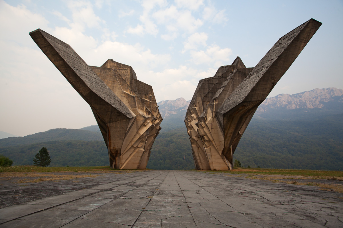
Maglić is on the western Montenegro border with Republika Srpska (Bosnia), and belongs to Sutjeska National Park (named after a river where the great WWII Sutjeska Battle took place). Entrance to the park is at Tjentište village in Republika Srpska, close to where Yugoslav Partisans scored a costly victory over Axis powers. After the war a memorial complex was built there, a very notable realization of modernistic-futuristic architecture.
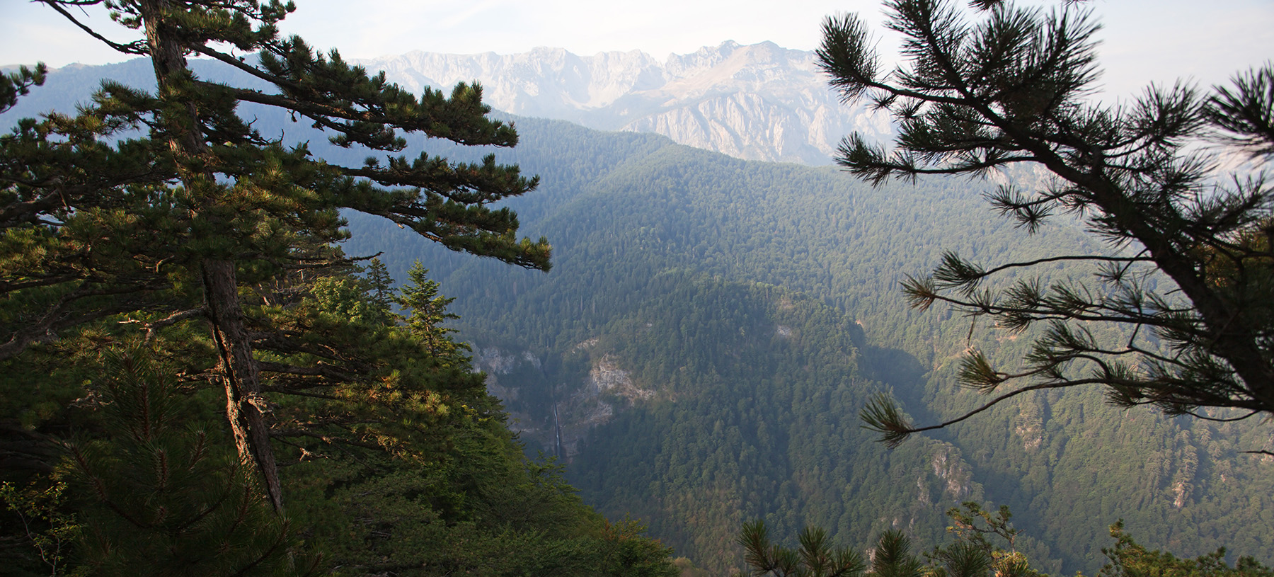
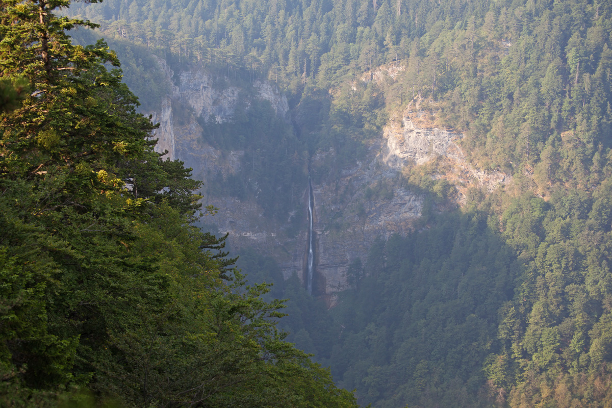
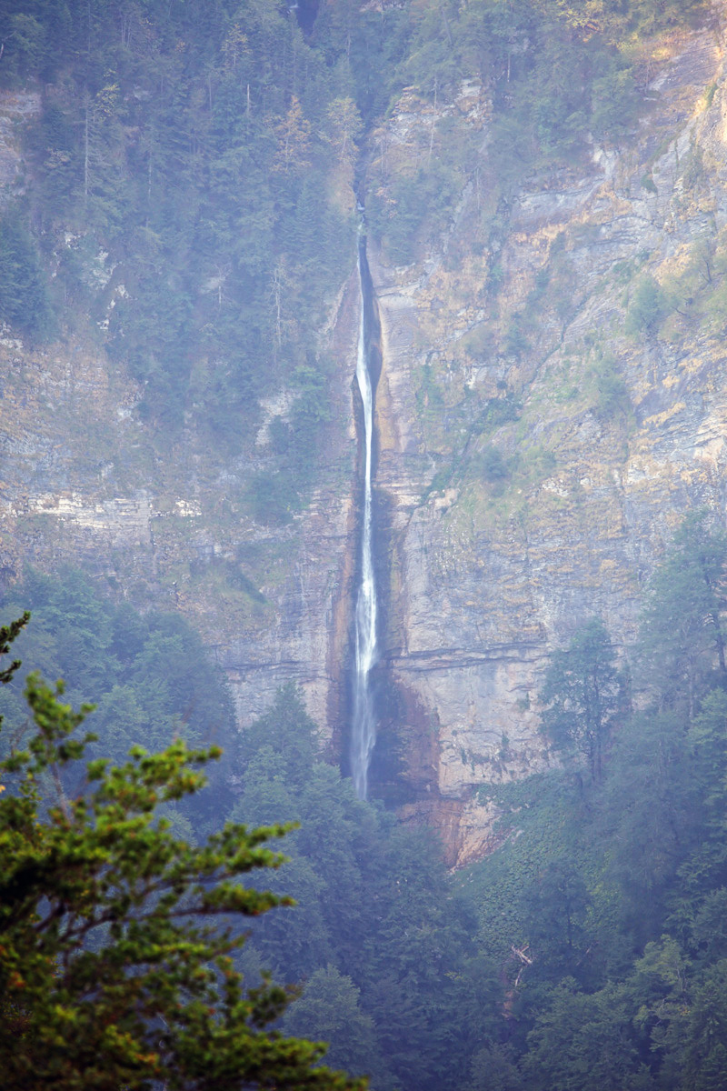
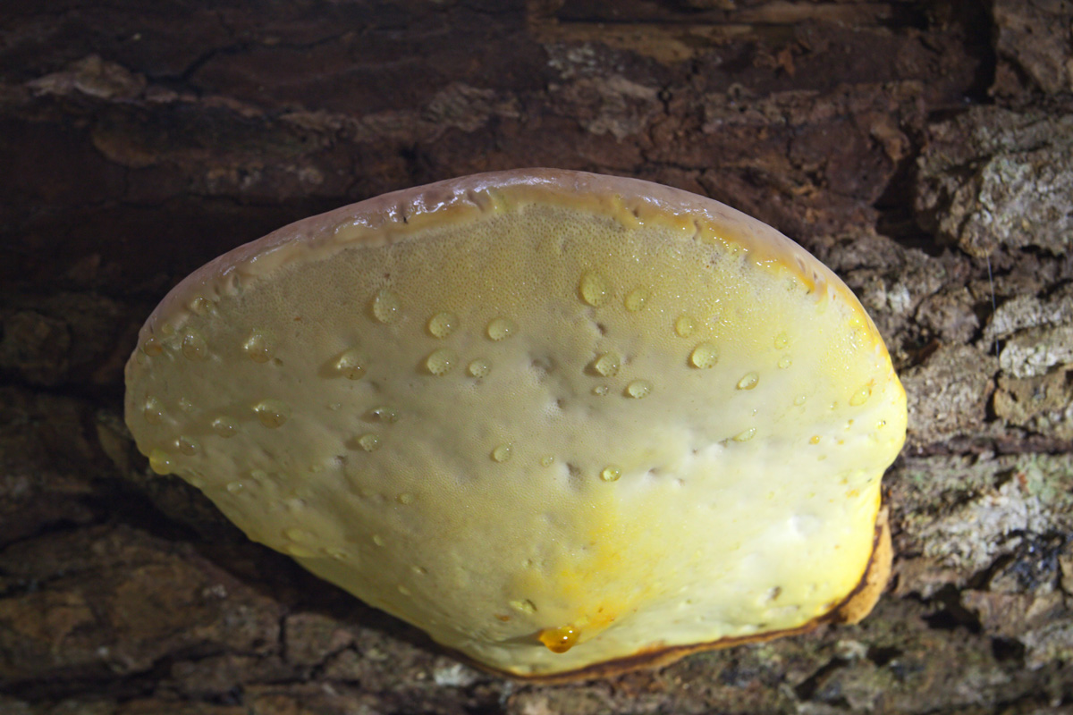
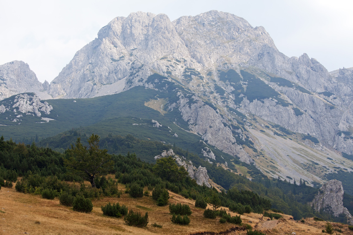
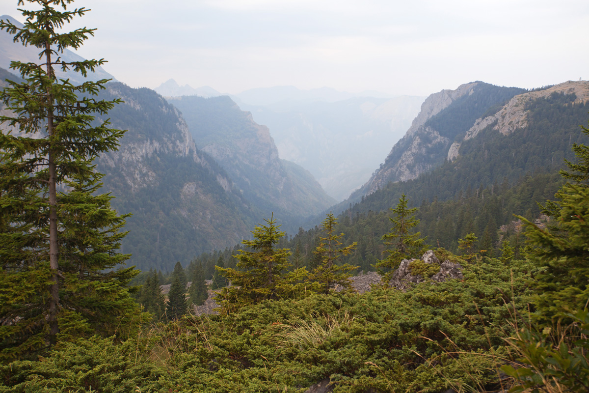
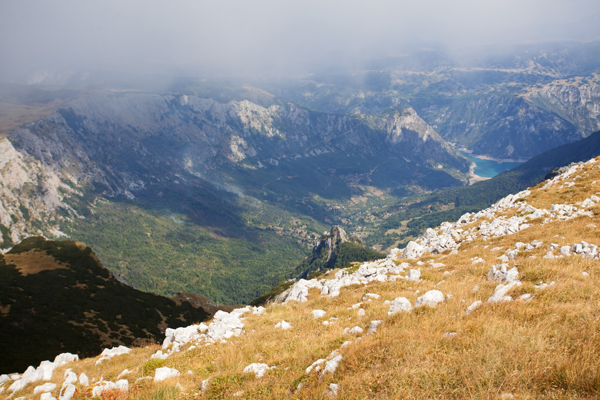
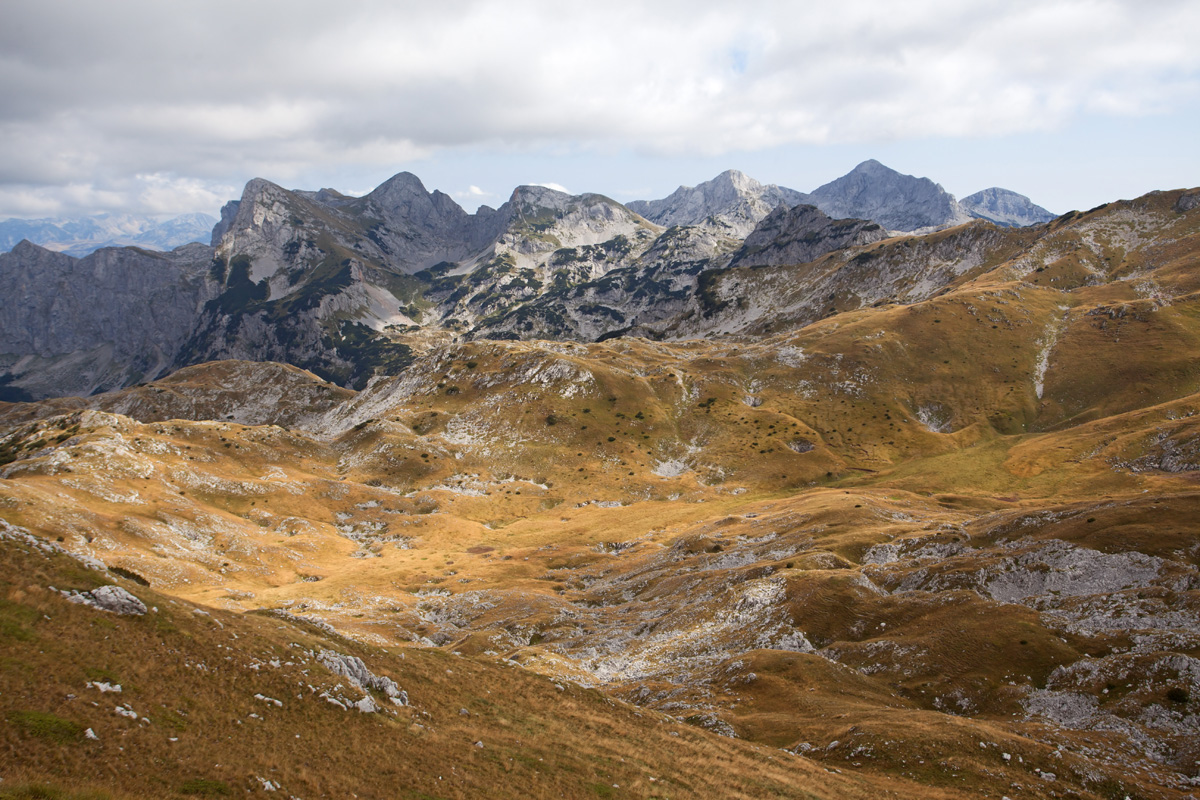
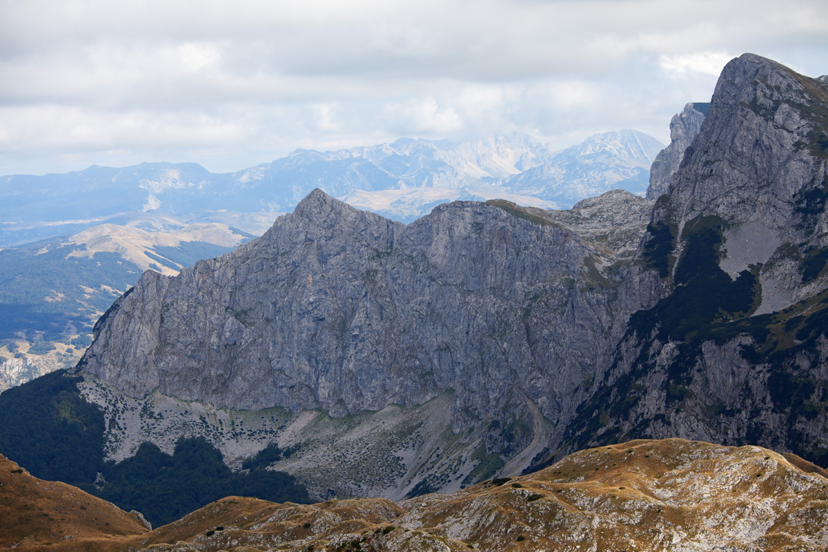
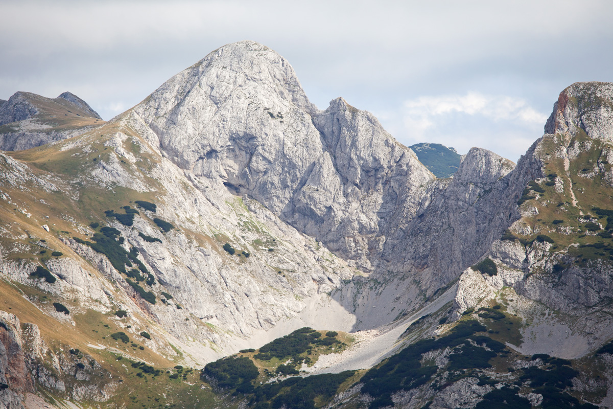
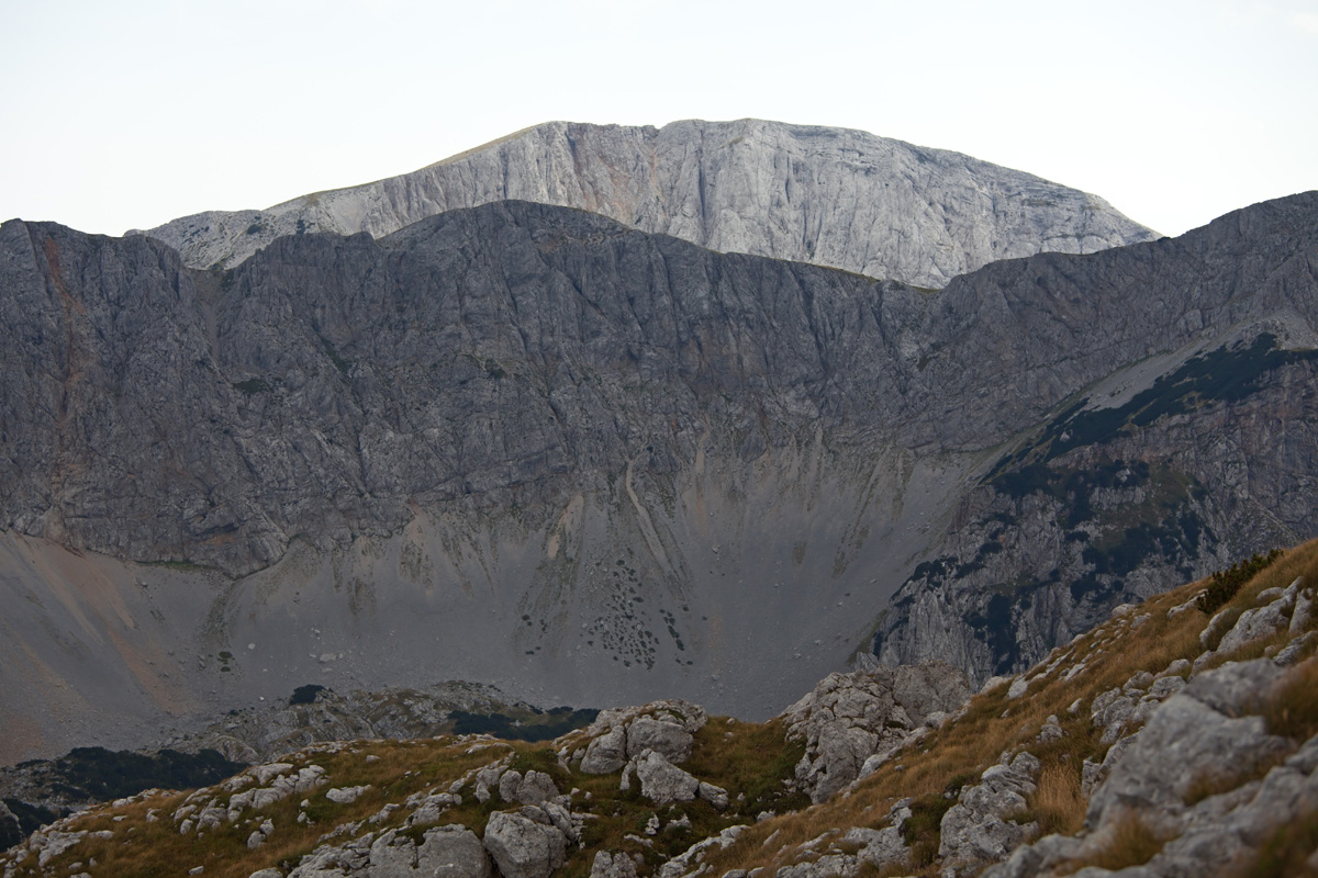
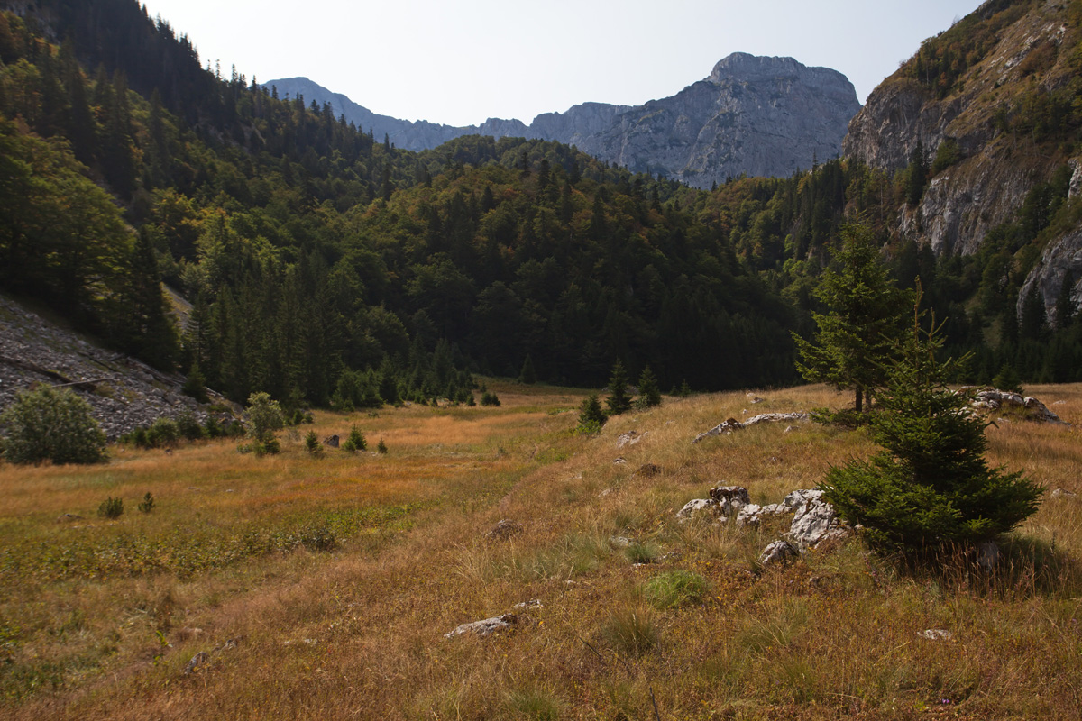
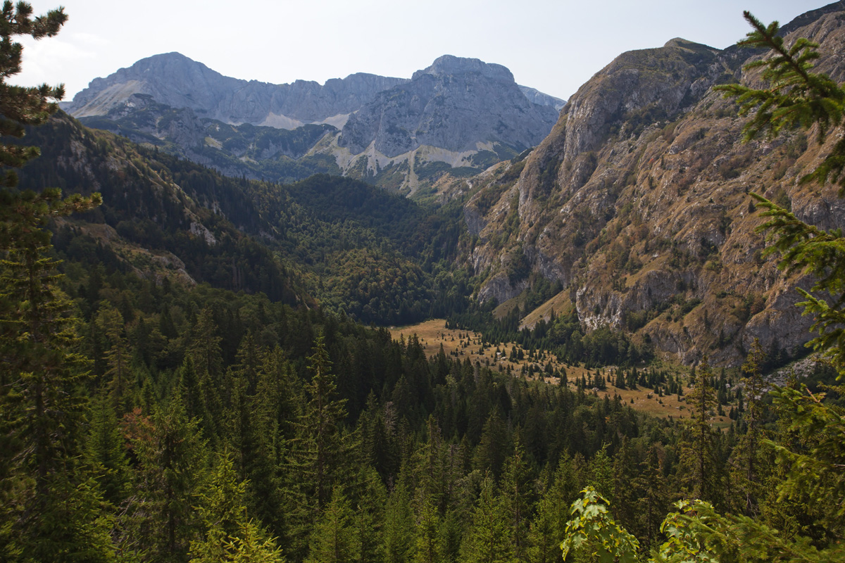
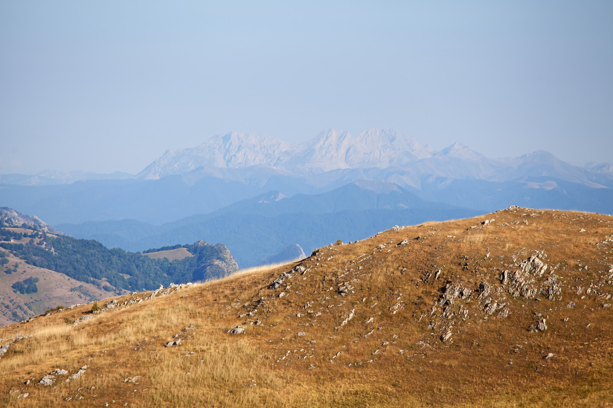
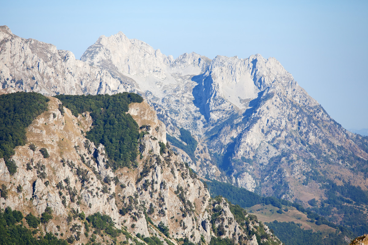
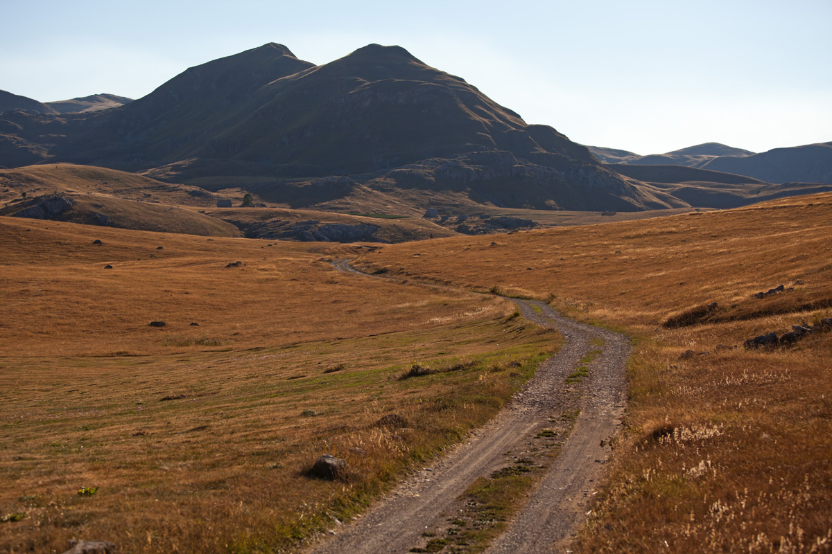
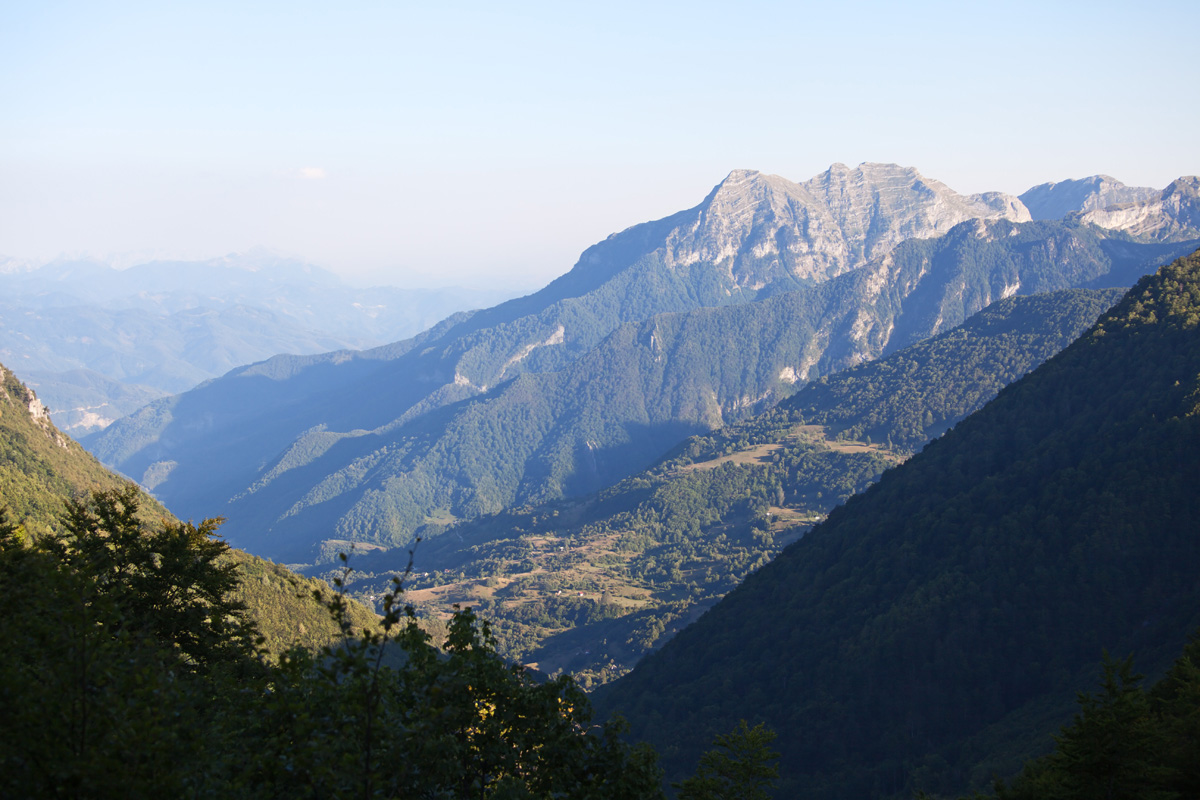
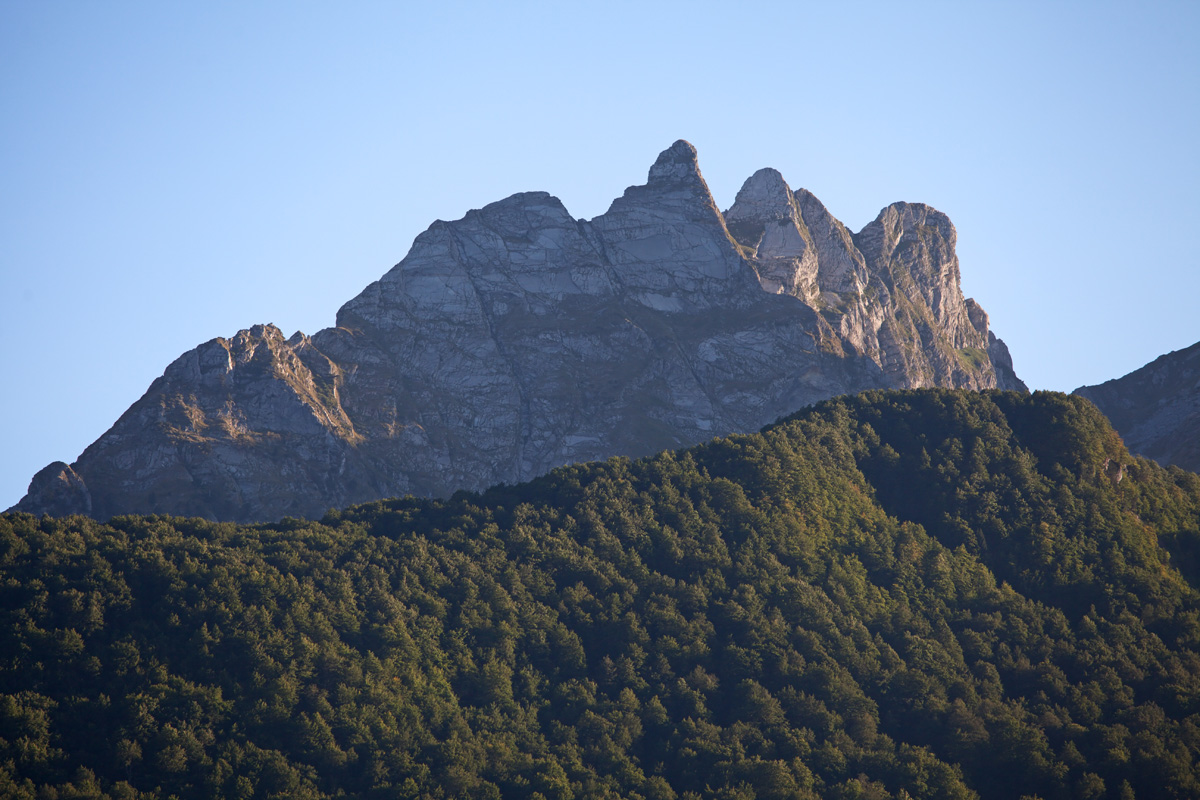
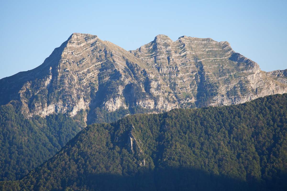
Maglić massif is actually three mountains in one - Maglić, Bioč and Volujak, all between 2300m and 2400m high. A deep gorge at the foothills of Maglić is home to one of the last Europe's surviving true primeval forests - Perućica (named after a river running through its center). This mystical inaccessible jungle is a challenge to visit; man should understand that if this natural oasis is to survive, it must keep its secrets. There are marked paths along its perimeter and you can get quite deep into the forest following them, also respecting the restricted areas. At the heart of the forest is a spectacular Skakavac waterfall with its 75m of fully vertical drop.
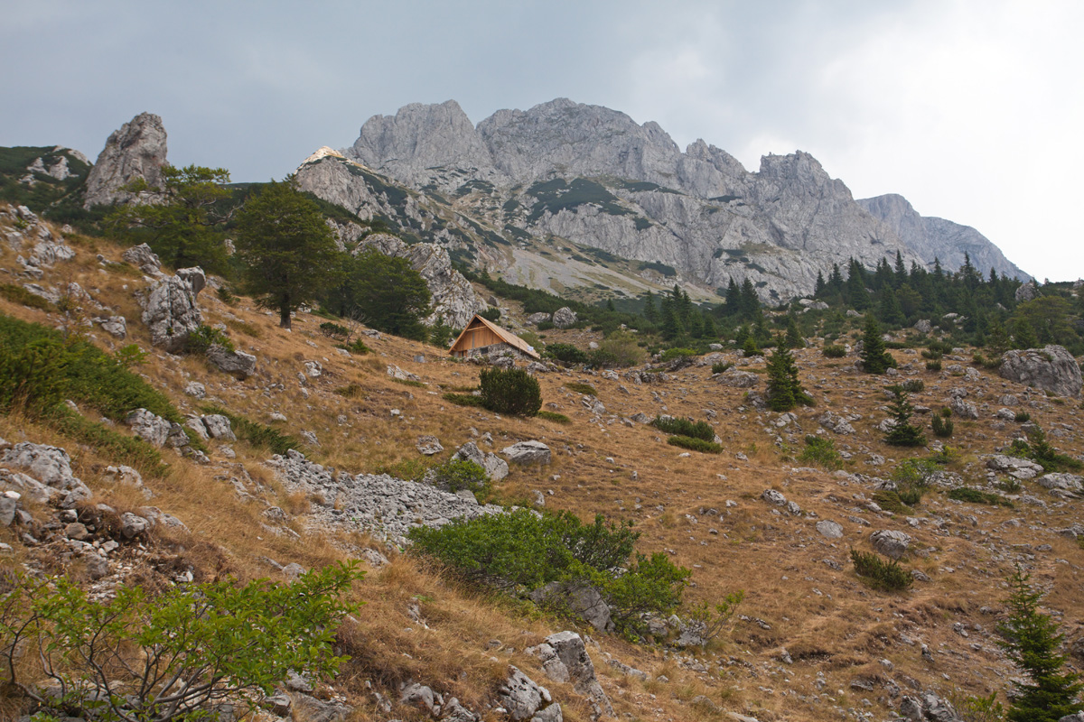
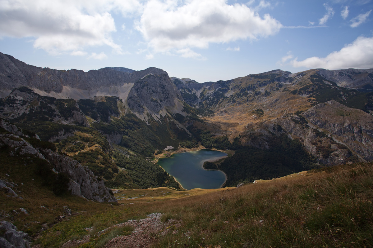
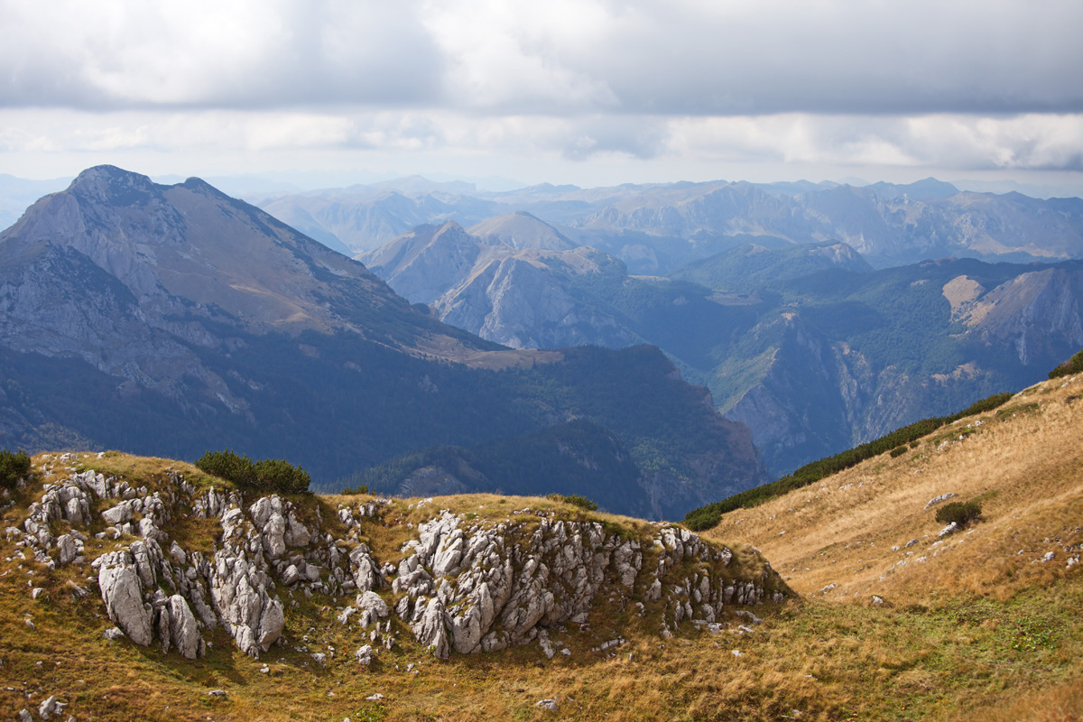
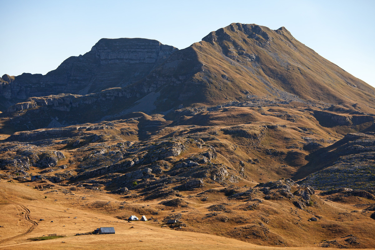
Following Perućica valley upstream one can reach the "Suva jezerina" glacial valley (access road is on its northern side). The valley is barred by a glacial moraine, and the cirque hosts a nice lake - "Trnovačko jezero". This is a great spot for base camp, from here all of the surrounding mountains are accessible, most notably Maglić which is the most frequently visited.
After Maglić this trip continues upstream along Piva river, and after passing the Mratinje dam it turns east towards the Trsa village. Passing Trsa it goes further east over the Durmitor mountain. There it turns south until Šavnik, where again it heads east passing between Moračke Planine and Sinjajevina, and ends in Mioska village.
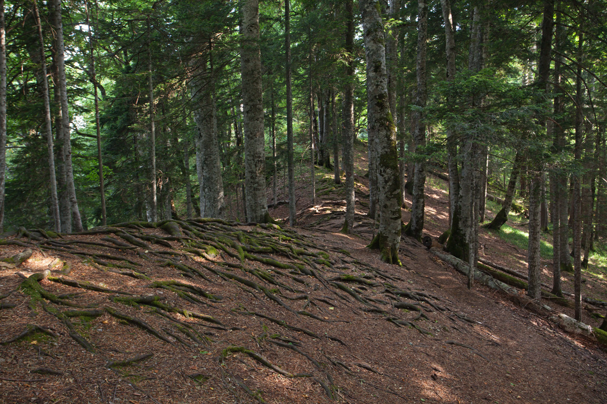
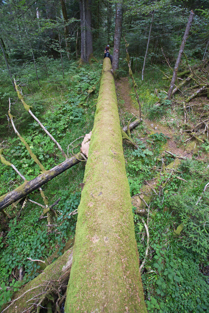
Perućica primeval forest
Raw, mystical and inaccessible, Skakavac waterfall can be seen from this viewpoint.
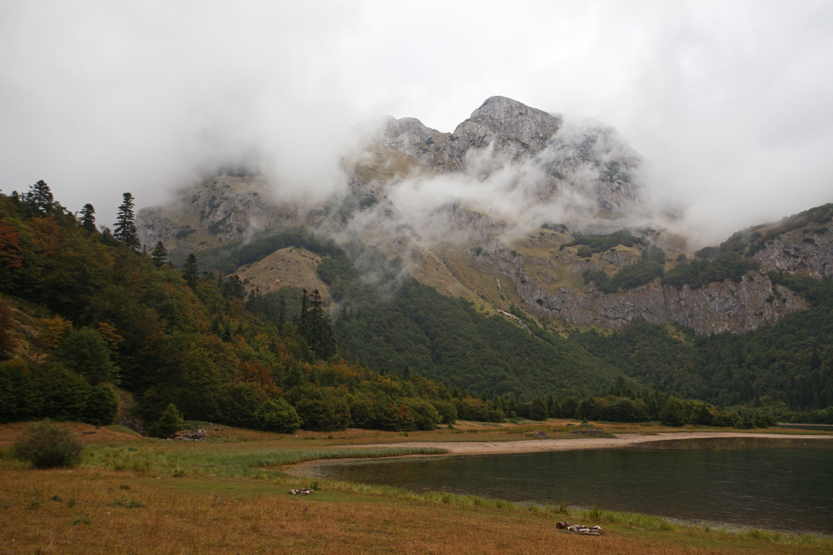

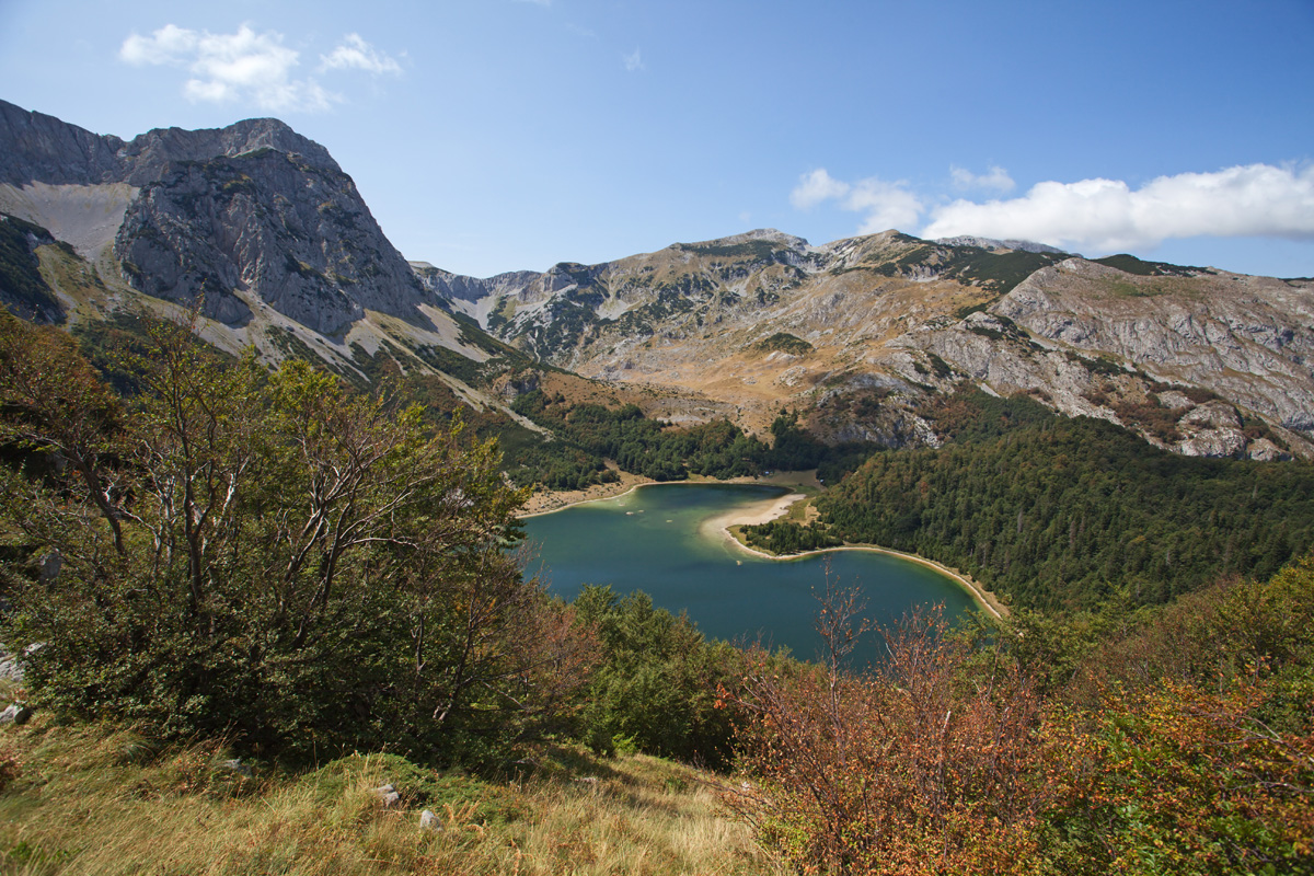
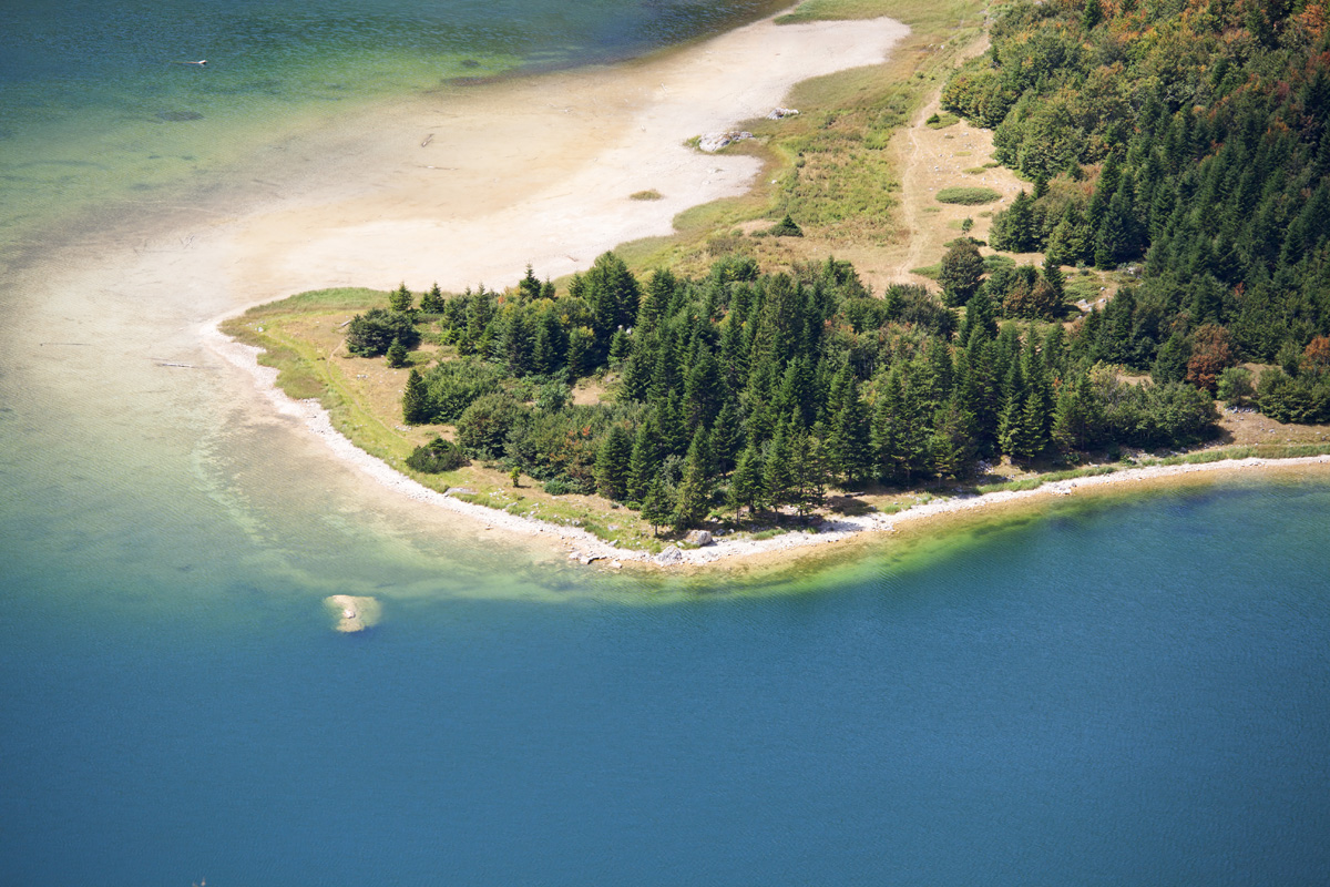
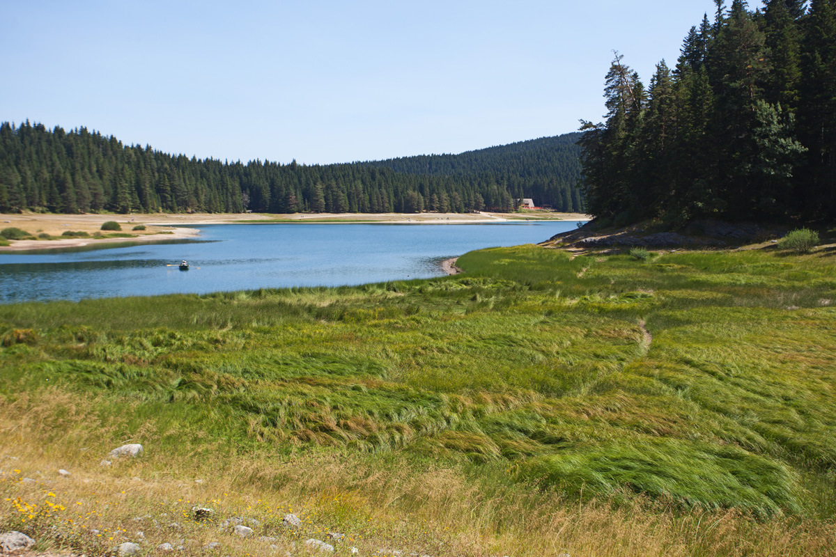
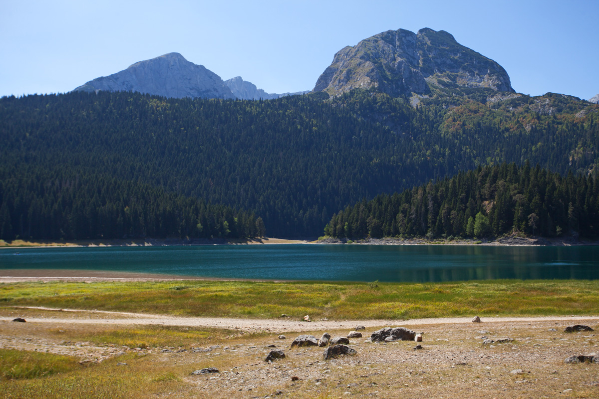
Trnovačko jezero (VR)
Natural glacial lake at 1500m altitude.
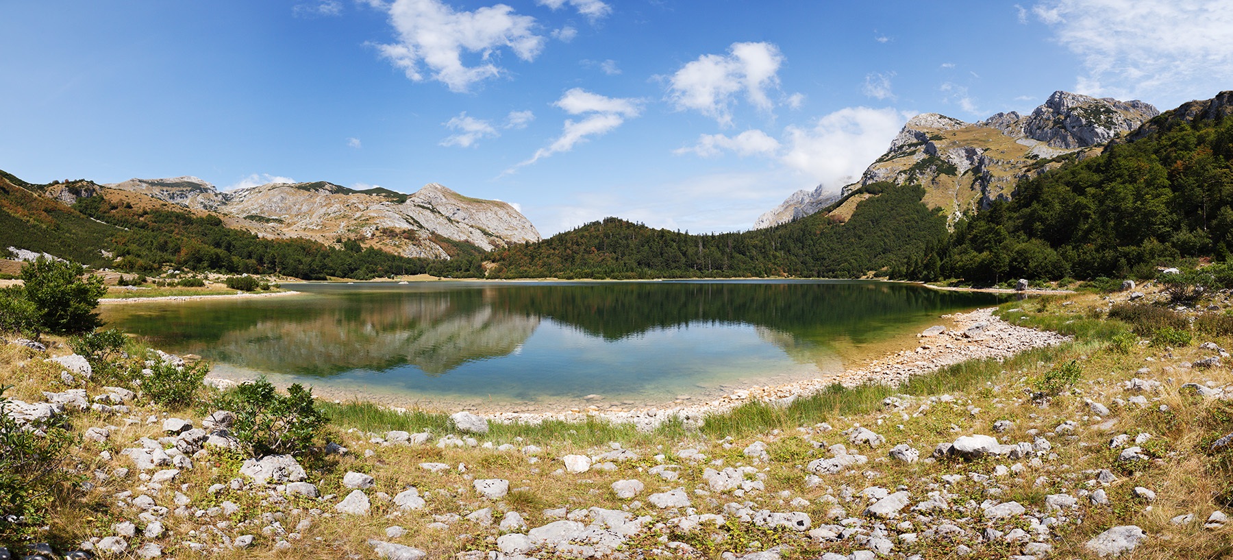
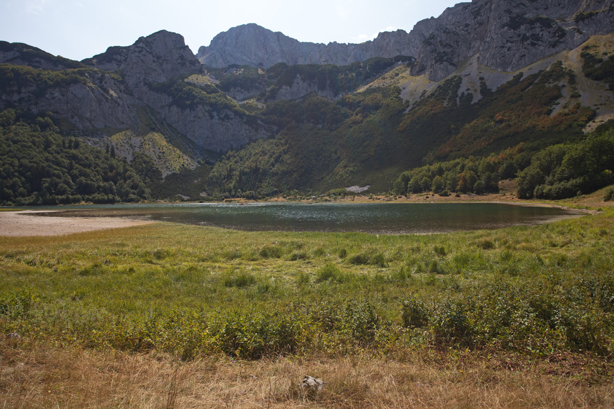
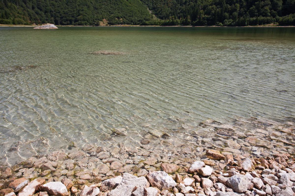
Trnovačko jezero
Natural glacial lake at 1500m altitude.

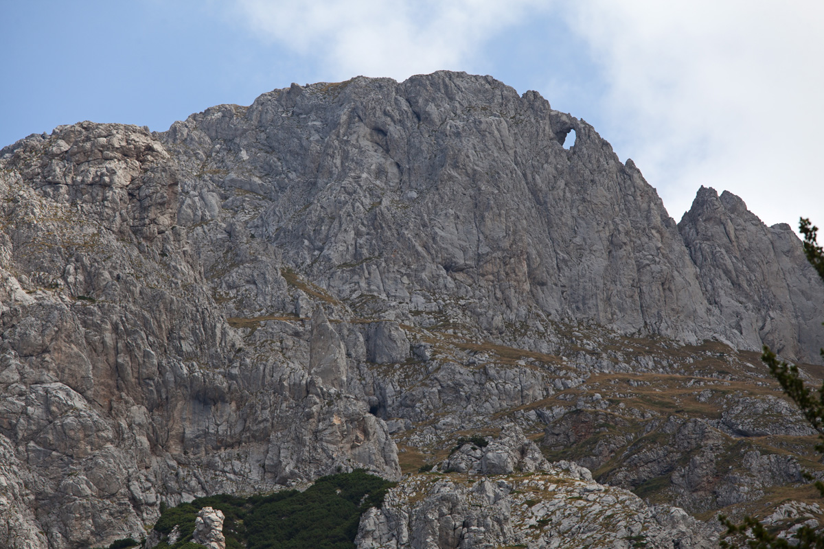
Maglić mountain unnamed summit 2308m (VR)
Clouds did not permit for any photography on Maglić's highest peak, so this one served instead.

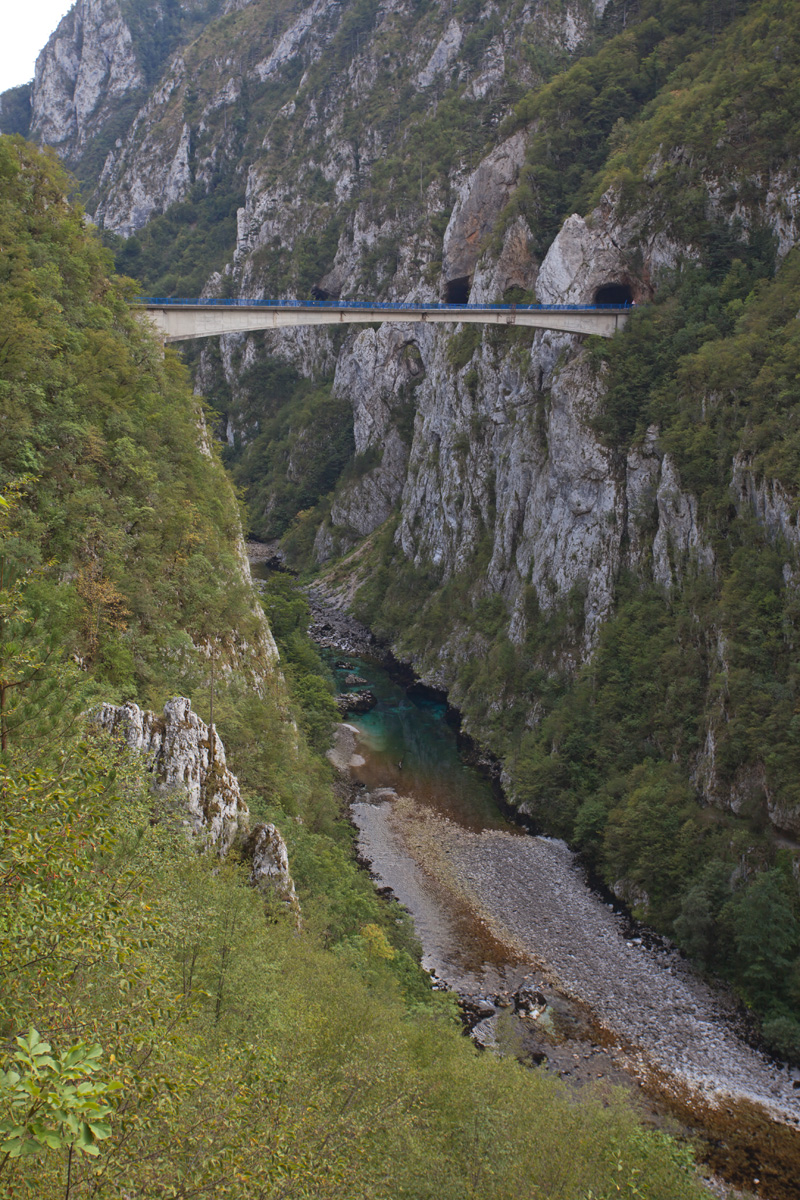
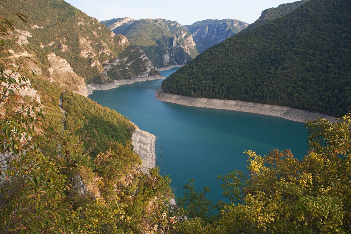
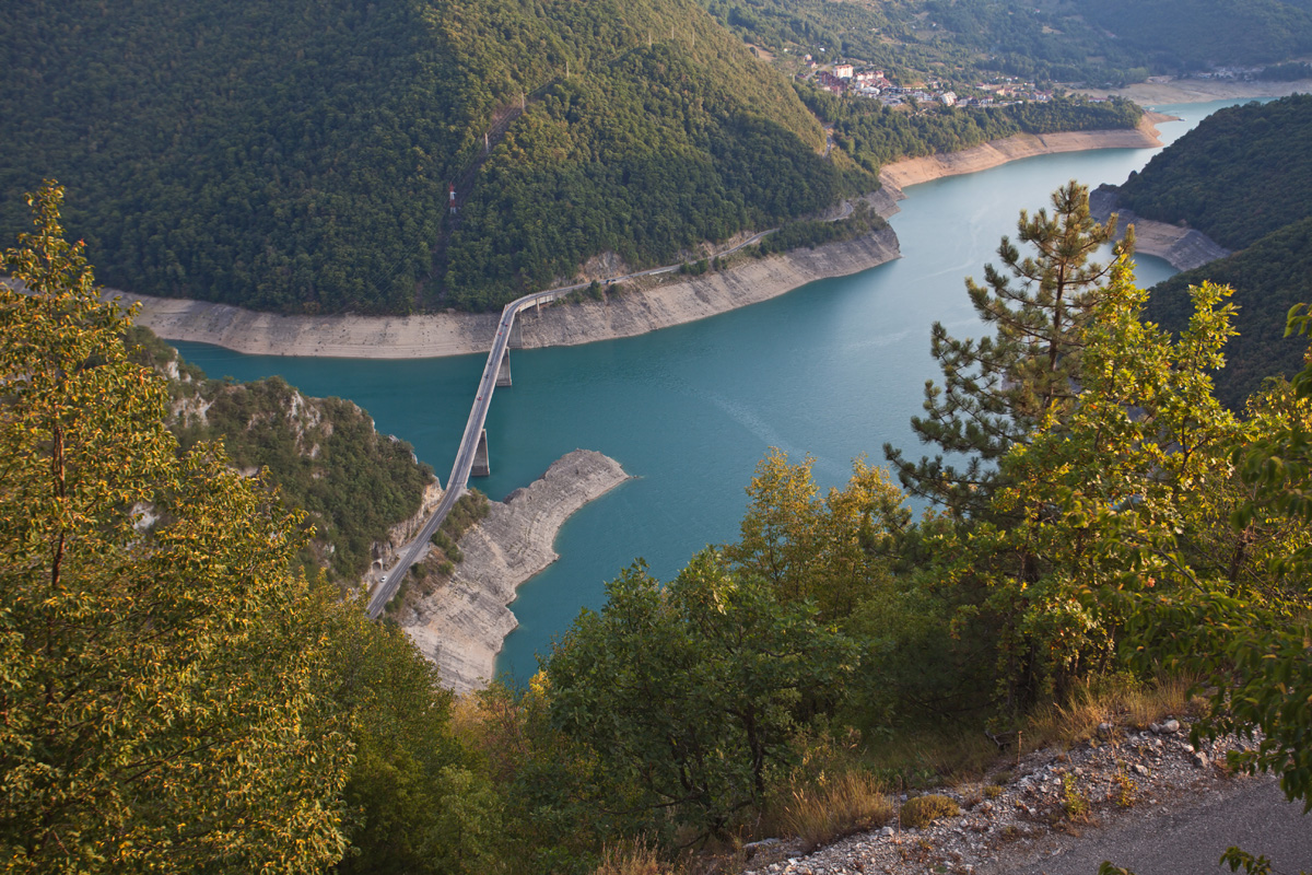
The bridge over river Piva in its canyon (VR)
One of many magnificent canyons in Montenegro. Upstream part of it is submerged after construction of the Mratinje dam in 1975.
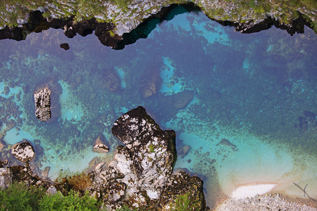
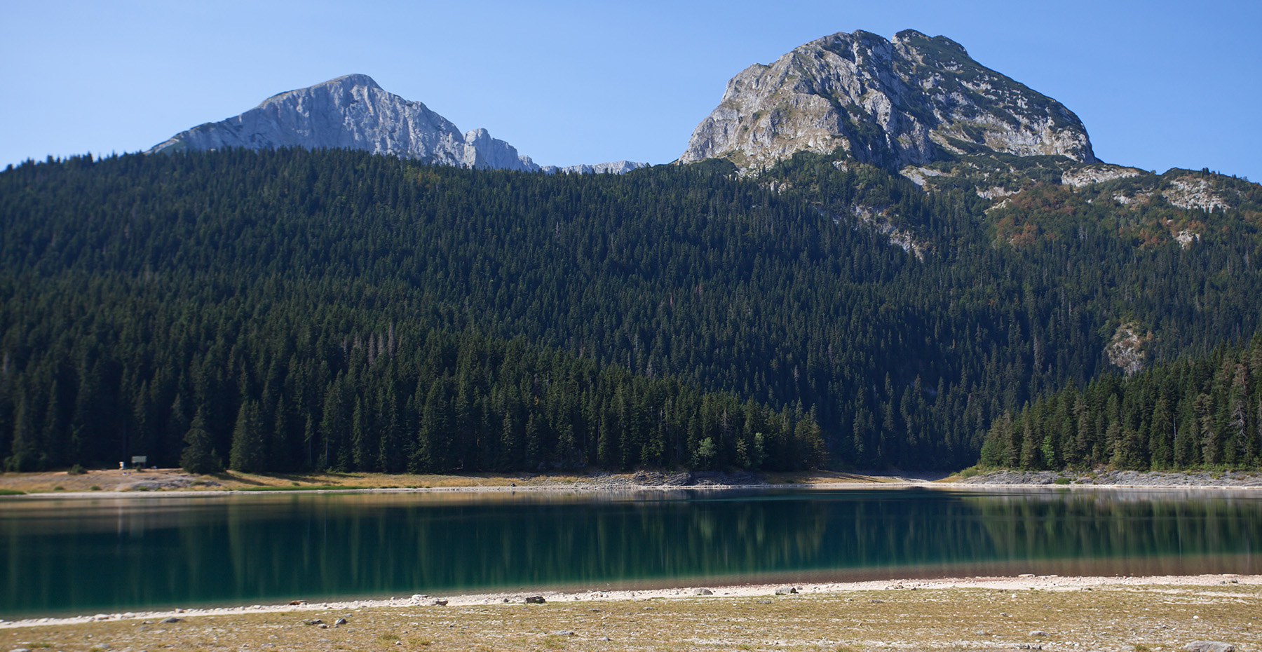
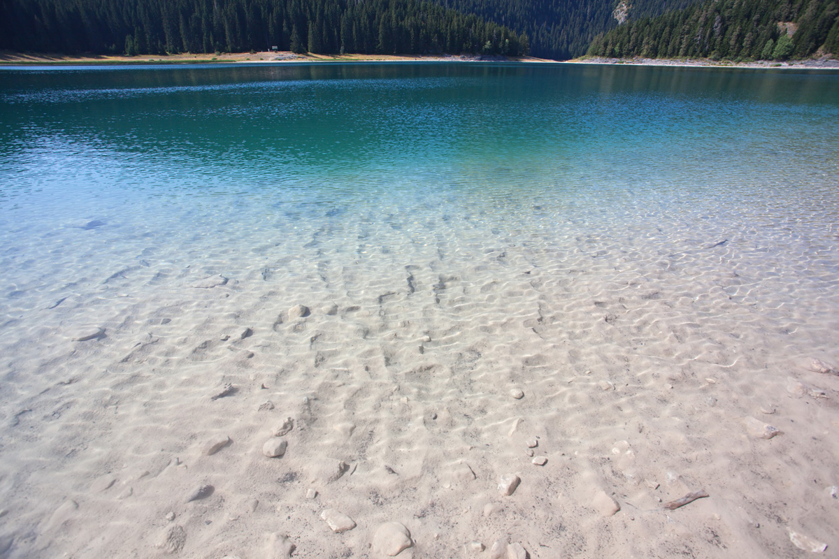
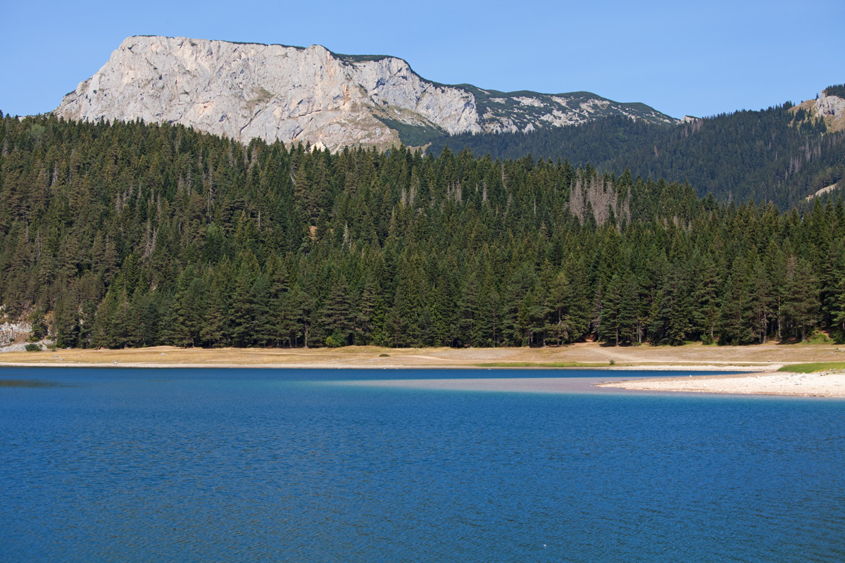
Crno jezero
Natural glacial lake on Durmitor mountain, composed out of two lakes which are periodically connected by a narrow water passage.
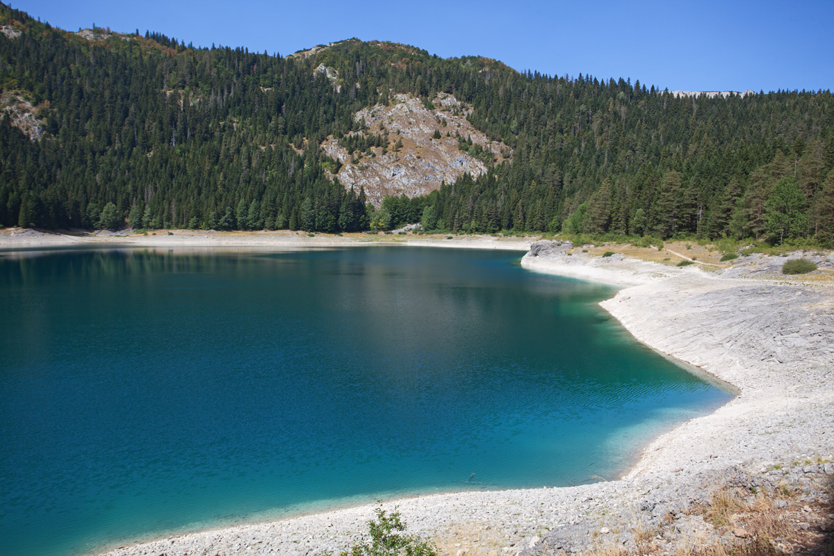

Crno jezero (malo) (VR)
The remote part of Crno jezero, under the Međed peak. At this time of year the water level is low and the twin lakes remain separated.

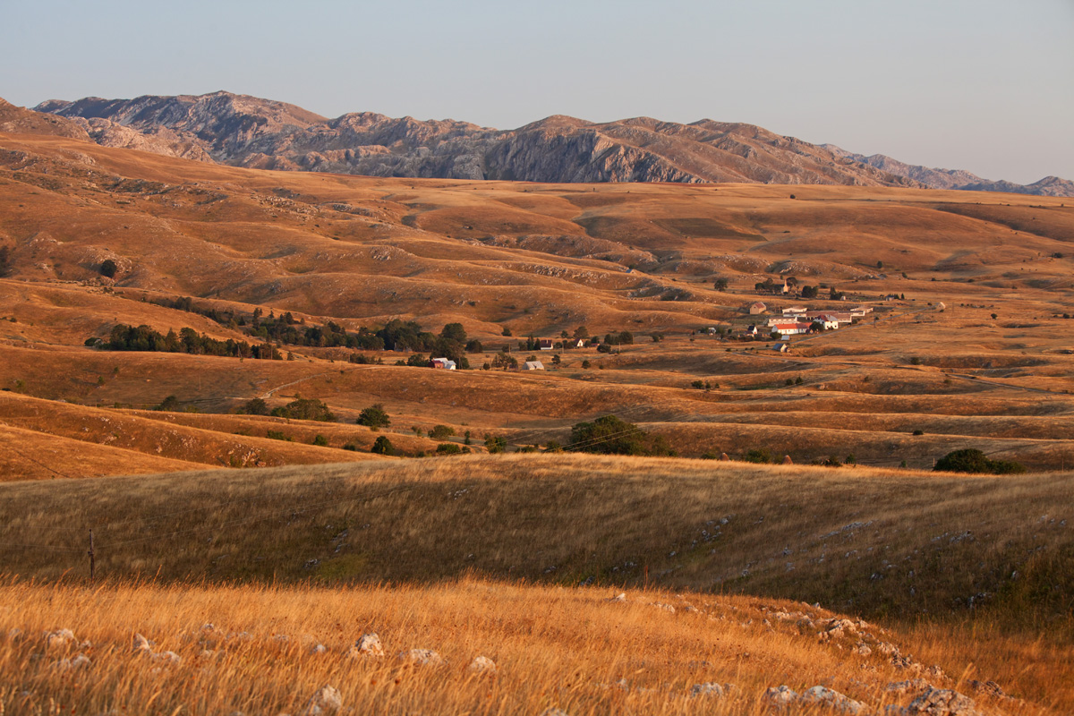
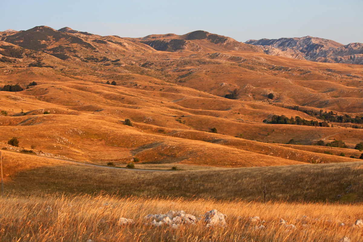
Bučum Javorje panorama (VR)
One of many high planes in central Montenegro, between "Moračke planine" (Mountains of river Morača) and Sinjajevina mountain. The closest prominent peaks belong to Lola mountain.

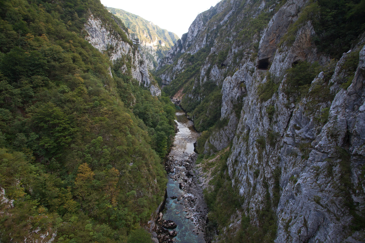
Canyon of river Morača - "Platije" spot (VR)
Canyon of river Tara is the most famous in Montenegro, being the deepest canyon in Europe (1300m depth) and thanks to its undeniable splendor. However the canyon of river Morača is not far behind (1100m depth), but is much less regarded in general public. Few people know about the many small tributary rivers scattered along this canyon that form spectacular narrow canyons of their own and many waterfalls. Their natural inaccessibility provides reliable refuge for wide variety of plants, animals and fish, not only the aesthetic value. Moarača is the major supply of water for Skadarsko jezero, a national park with world recognition - home to a large number of endemic species which depend on delicate balance and quality of water.
Unfortunately this whole canyon, its inhabitants and the related ecosystem downstream may soon meet their demise, if the combined wisdom of people currently ruling this country (and those voting for them) decides to build a hydroelectric power plant on river Morača, that would sink this place and irreversibly degrade its surroundings. Despite the size of the canyon the water volume of Morača is limited, bringing in question the economic foundations of the project and debunking it in what it truly is - an aspiration of a few greedy people in power to fill their pockets.

Canyon of river Morača - "Platije" spot (VR)
Part of the old road that was cut off and abandoned after a disastrous rock slide.