Stara Planina (Balkan Mountain), 2018-2022.
This long (over 500km in total) mountain chain is shared between Serbia and Bulgaria, with the Serbian part being 2169m high at Midžor peak. The area is quite diverse in both natural life as well as geology. The most notable waterfalls in Serbia are here, and some can be a real challenge to visit. Some even have no names, or just forgotten as the vast majority of native residents have abandoned these areas. Now it's up to new visitors to re-discover Stara Planina and hopefully preserve its beauty.
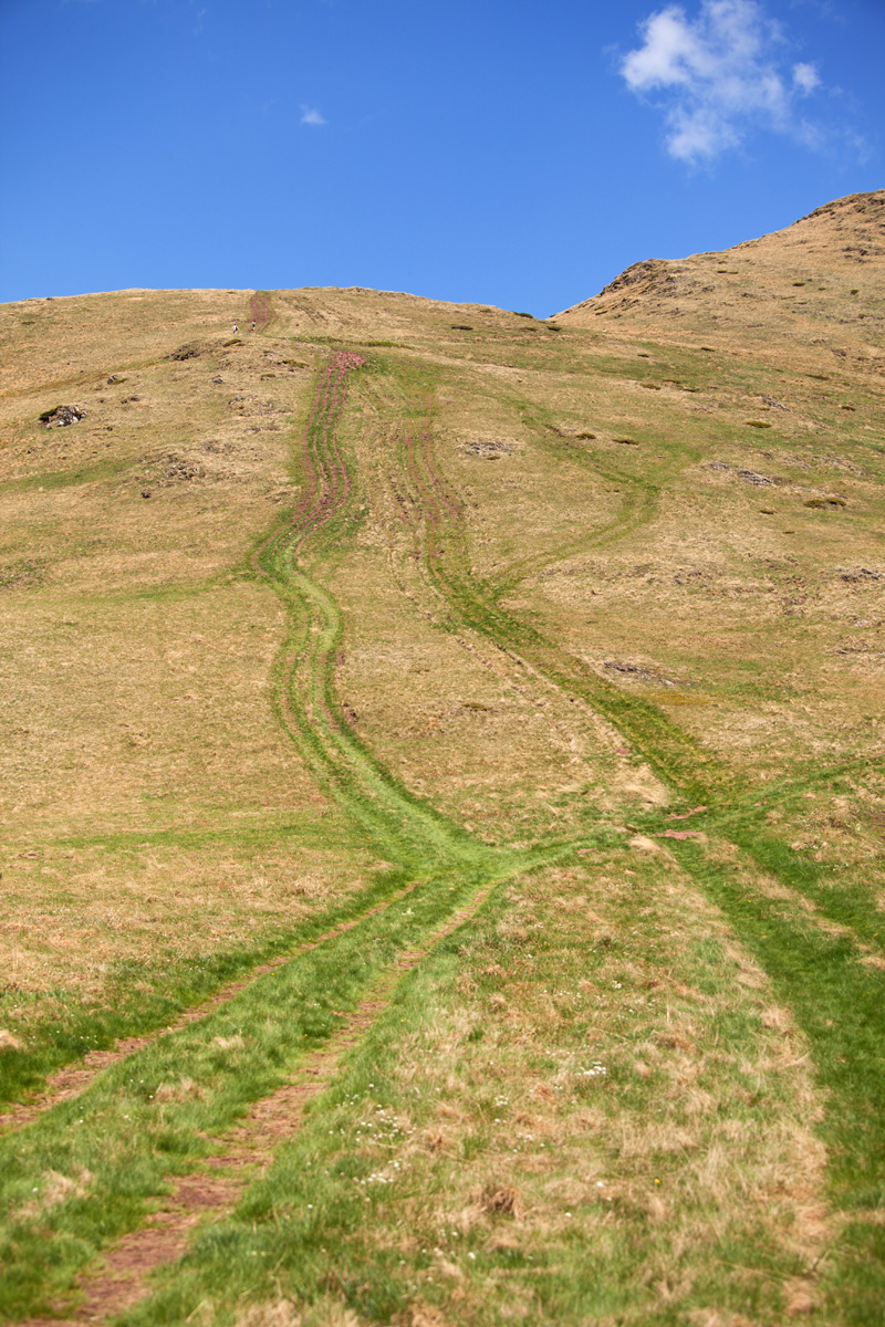

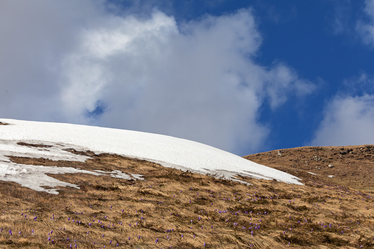
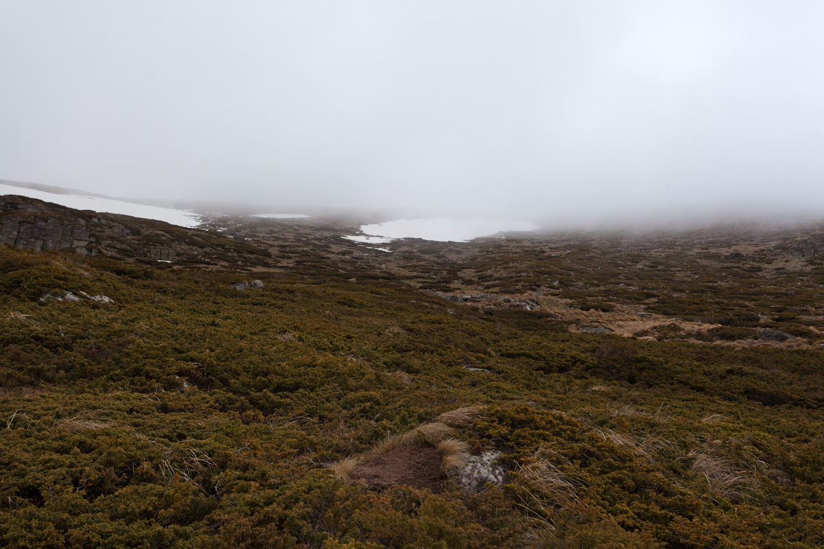
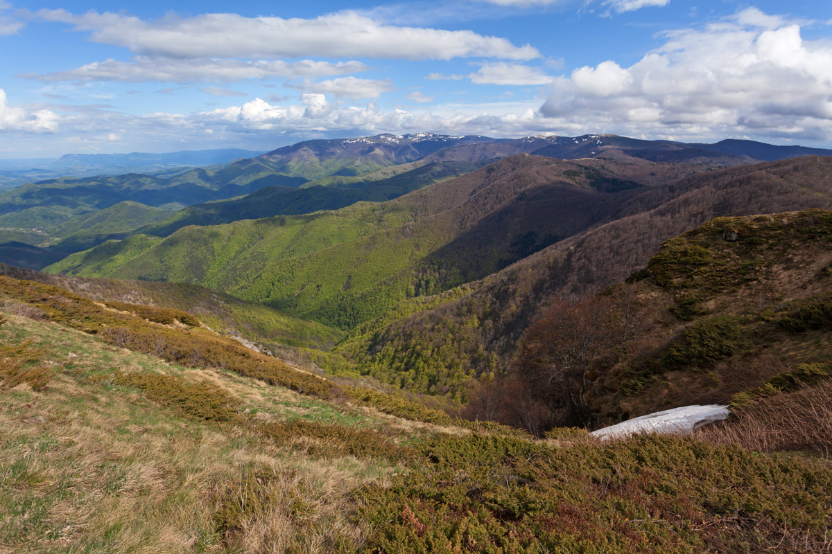
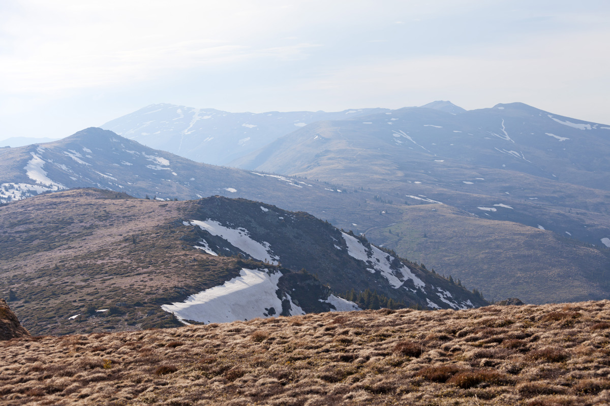
Foothills of Žarkova Čuka (VR)
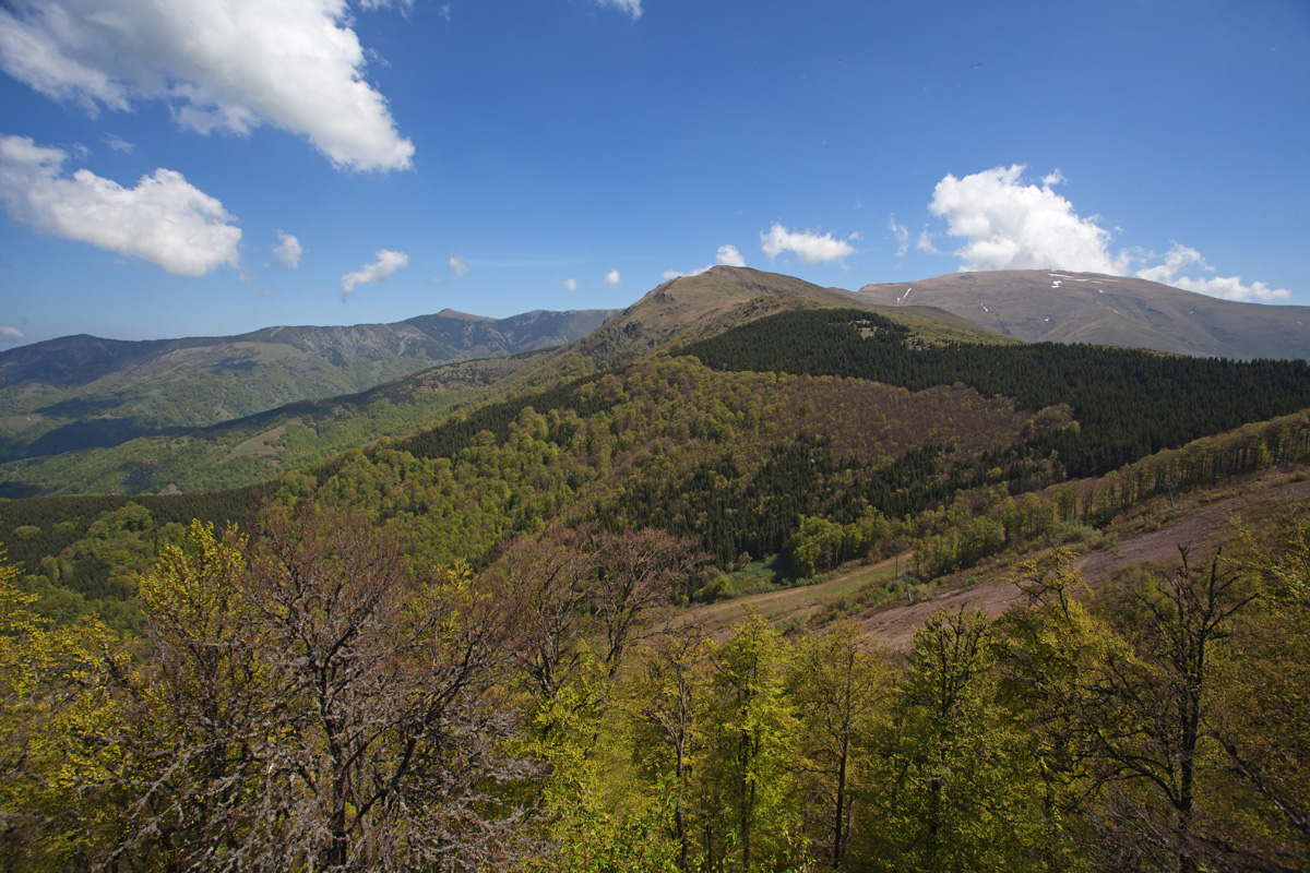
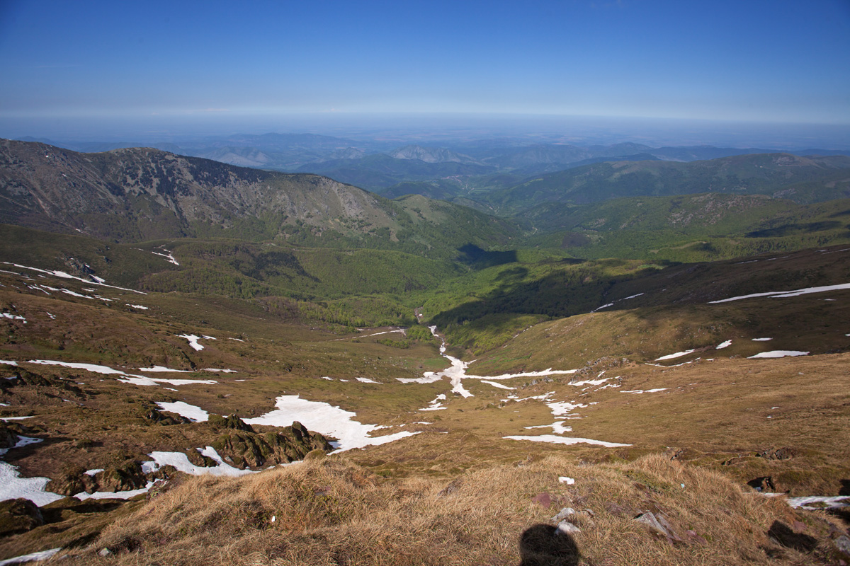
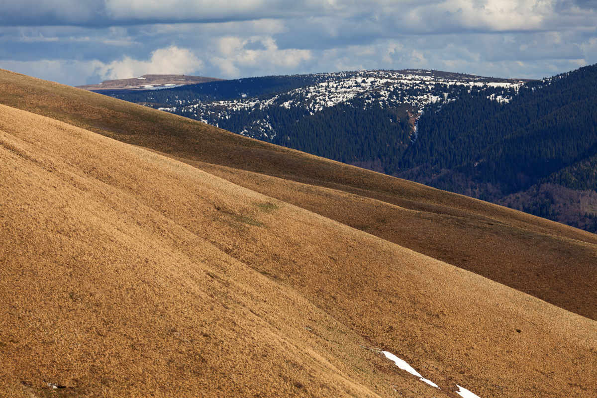
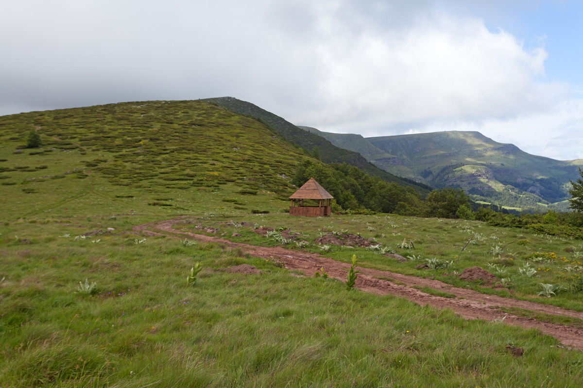
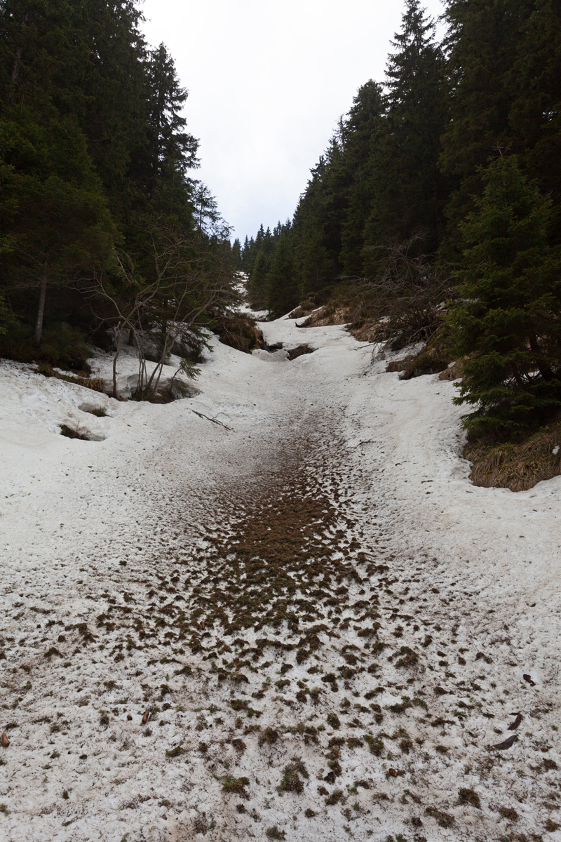
Approximate midway of trail from Babin Zub to Midžor peak.

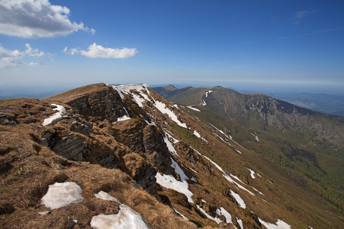
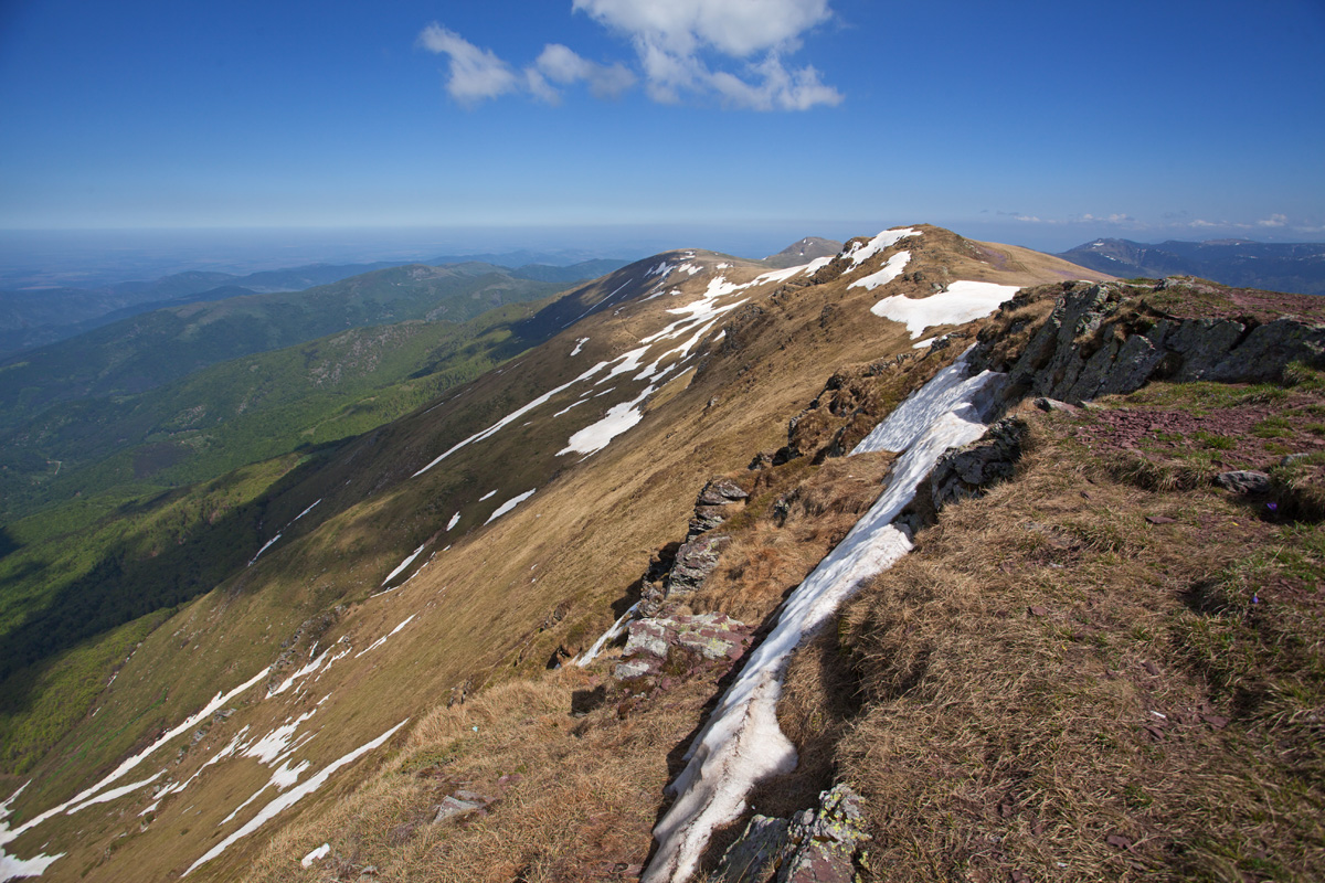
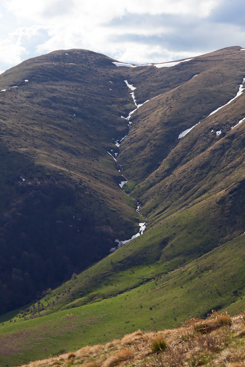
Midžor peak (VR)
At 2169m altitude this is the highest point of eastern Stara Planina, at the border between Serbia and Bulgaria.
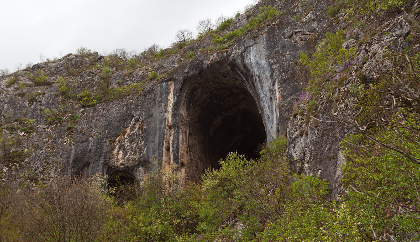
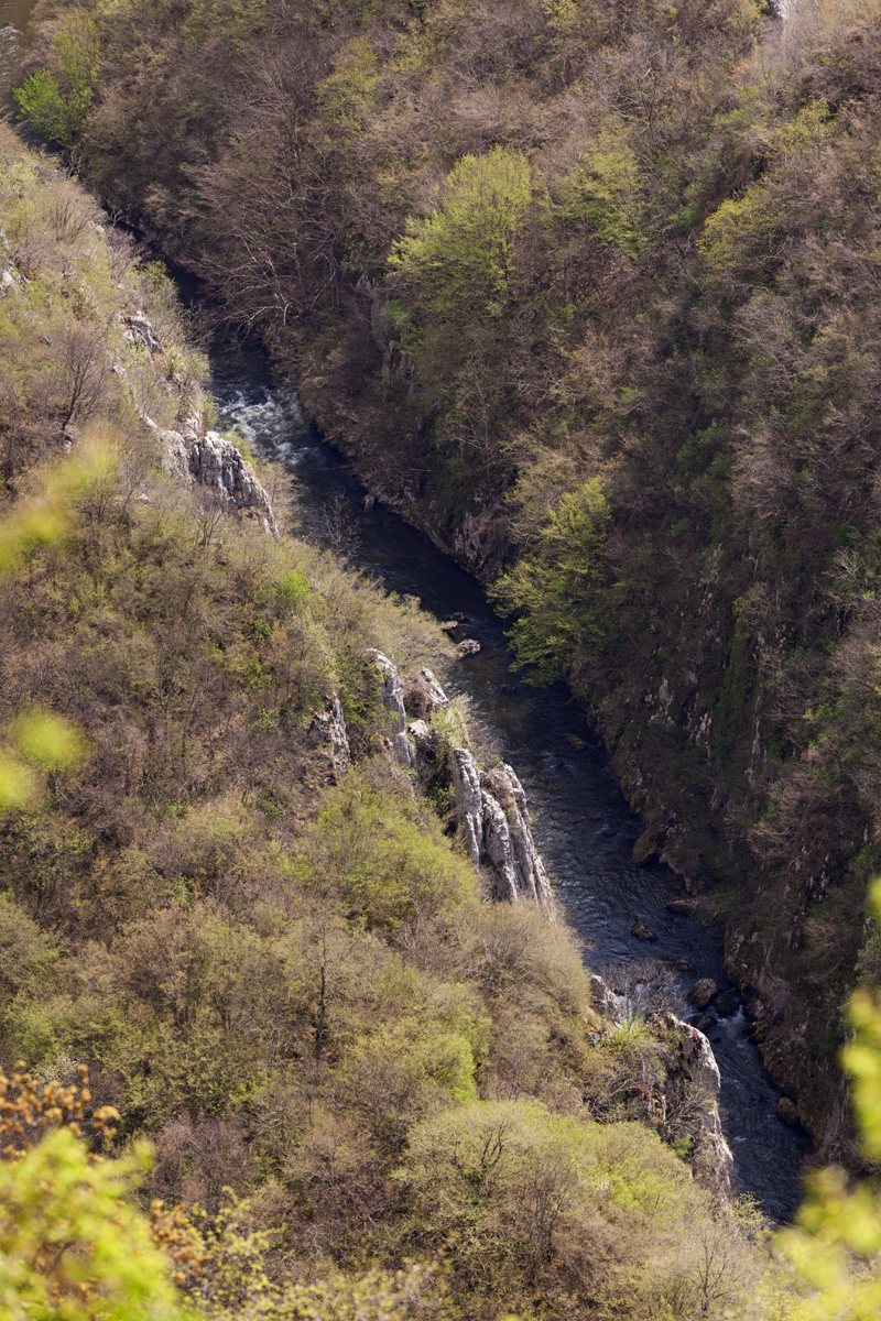
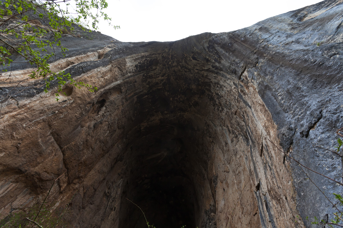
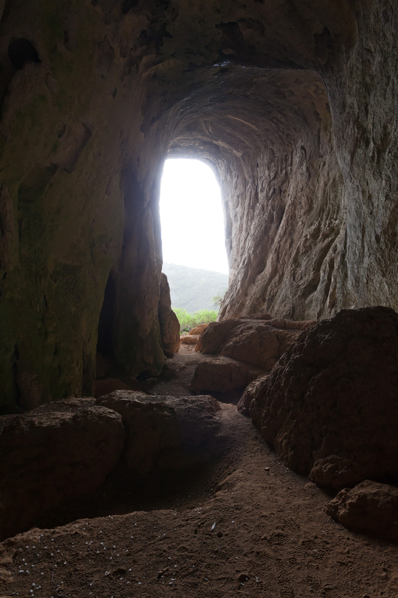
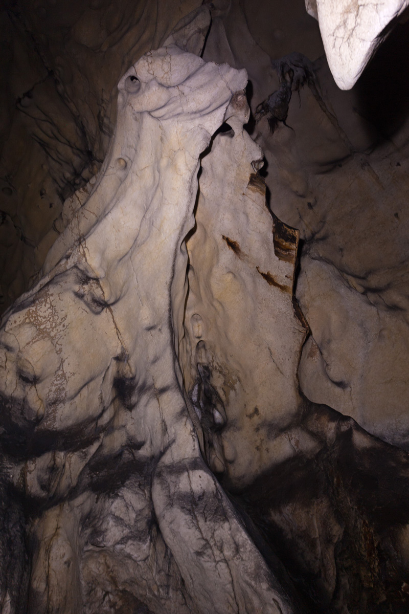
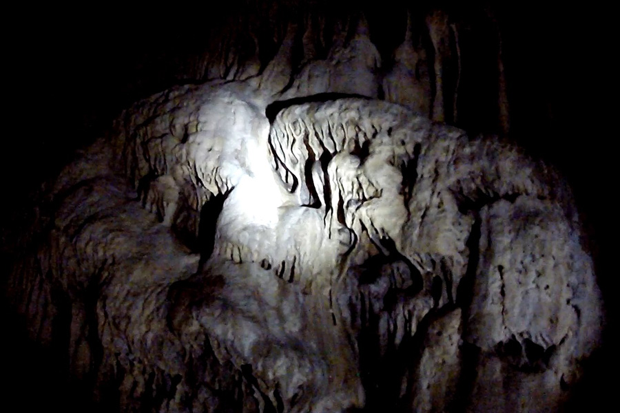
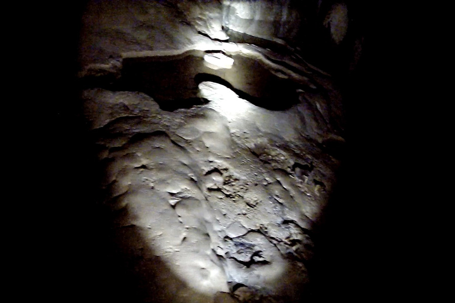
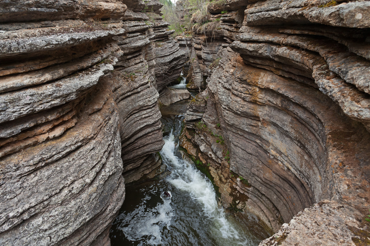
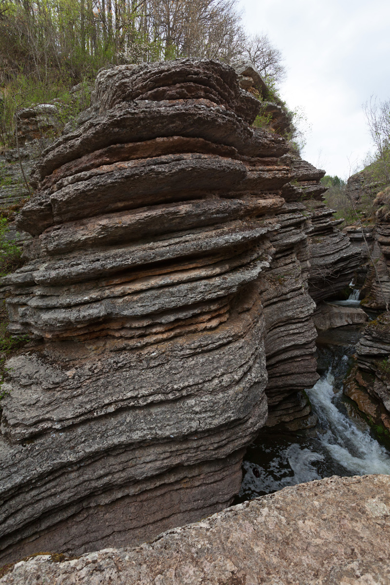
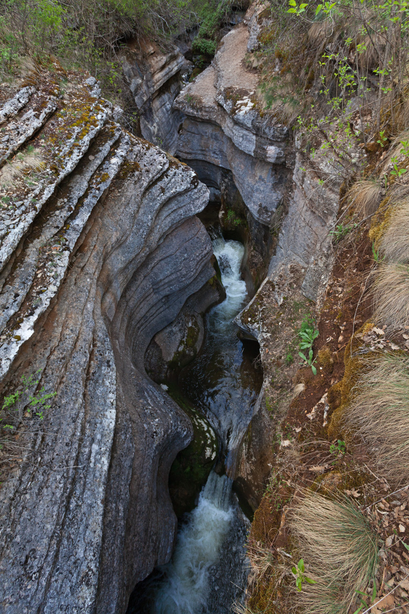
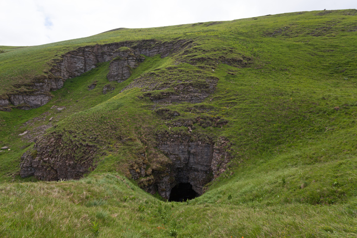
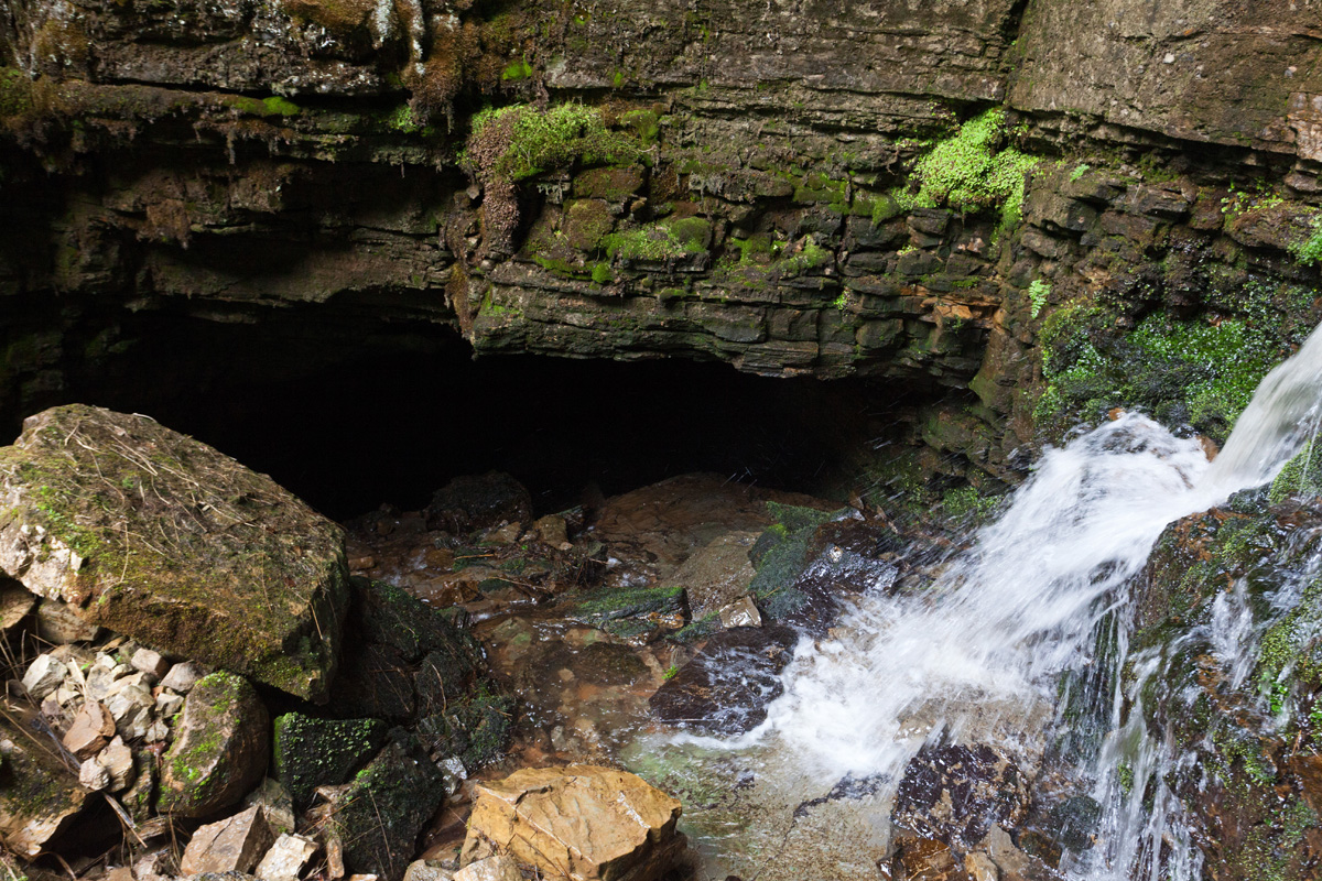
Vladikine Ploče cave
Located close to the middle of river Visočica's canyon, this cave is a challenge to reach. A steep rocky path descends into the canyon and leads to cave entrance. The cave itself is couple of hundred meters long and accessible without special equipment, although extreme caution is mandatory. Deep inside some nice ornaments can be seen.
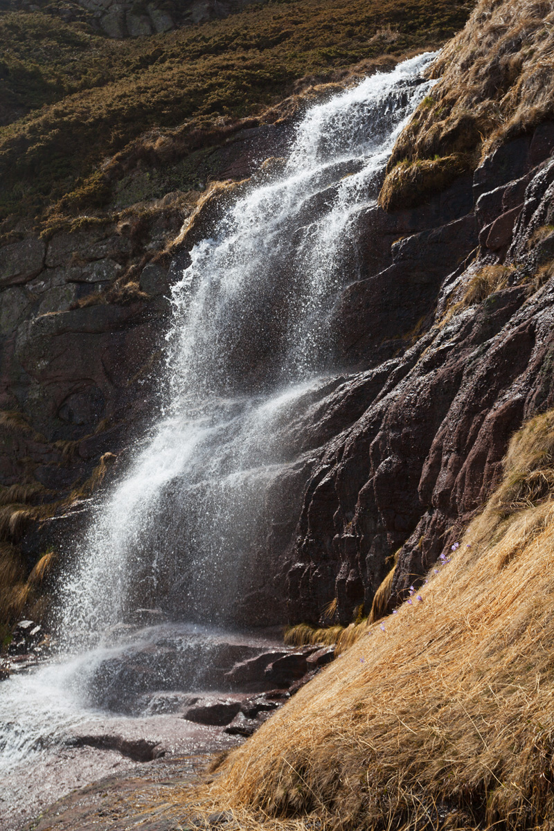
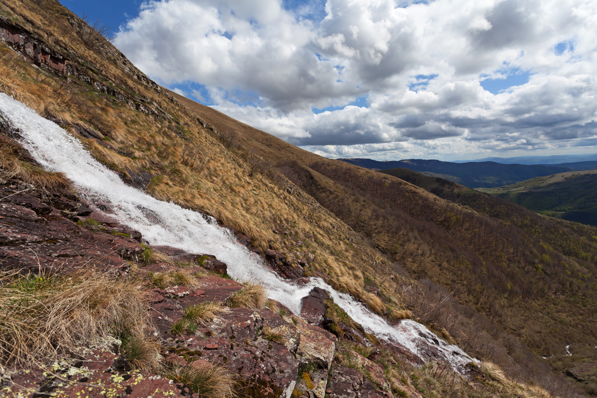
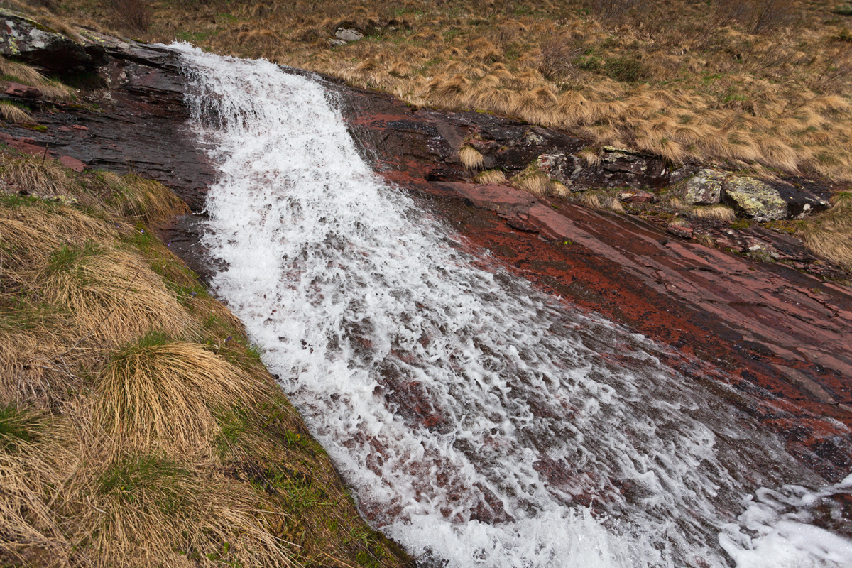
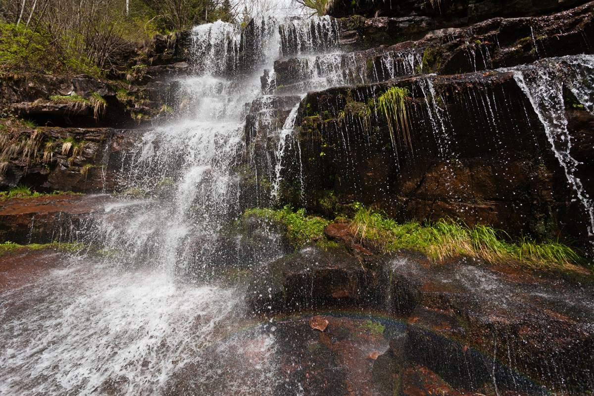
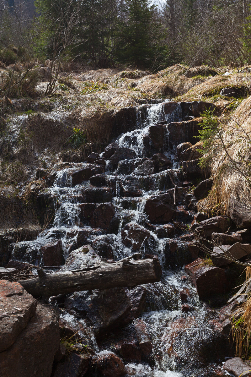
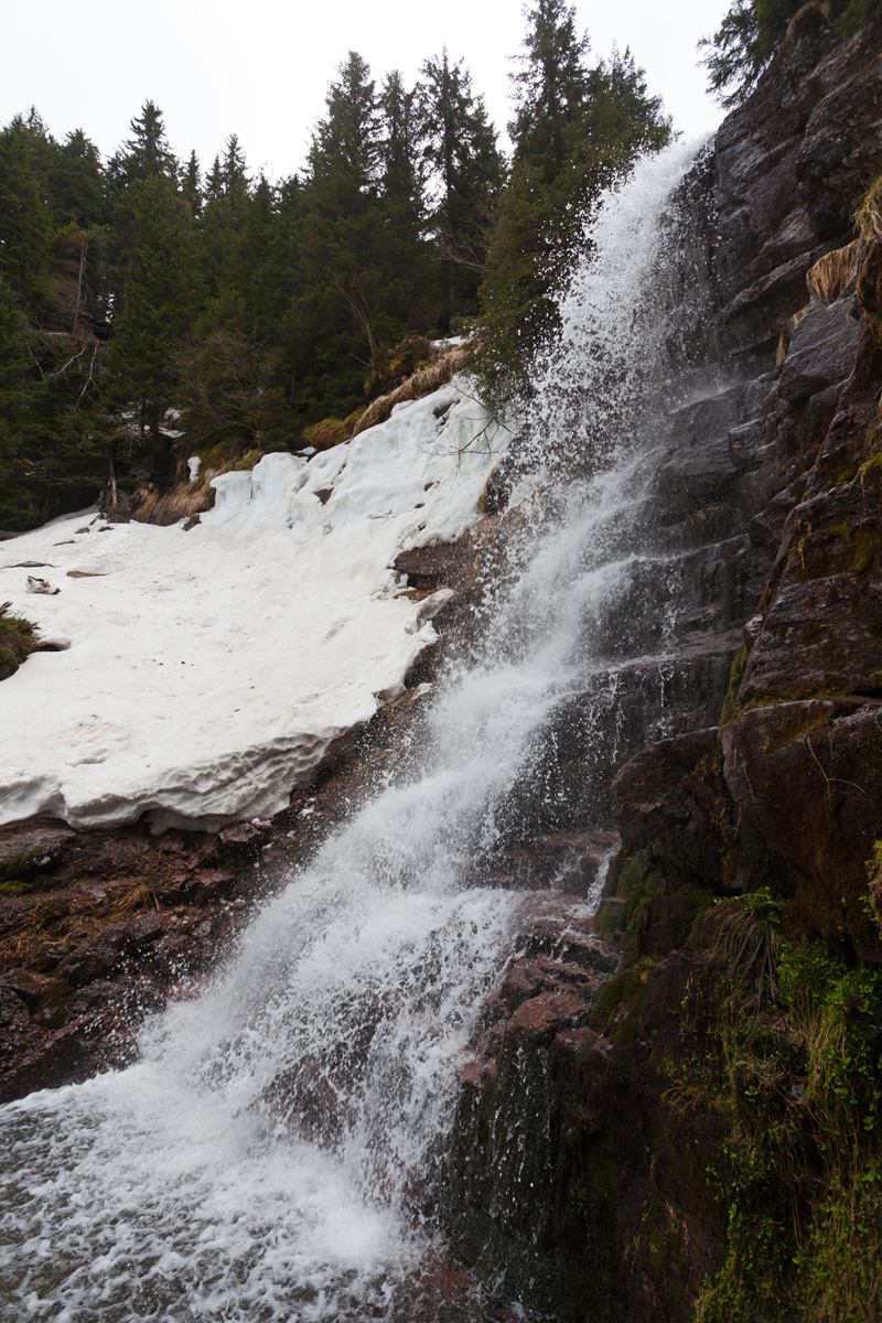
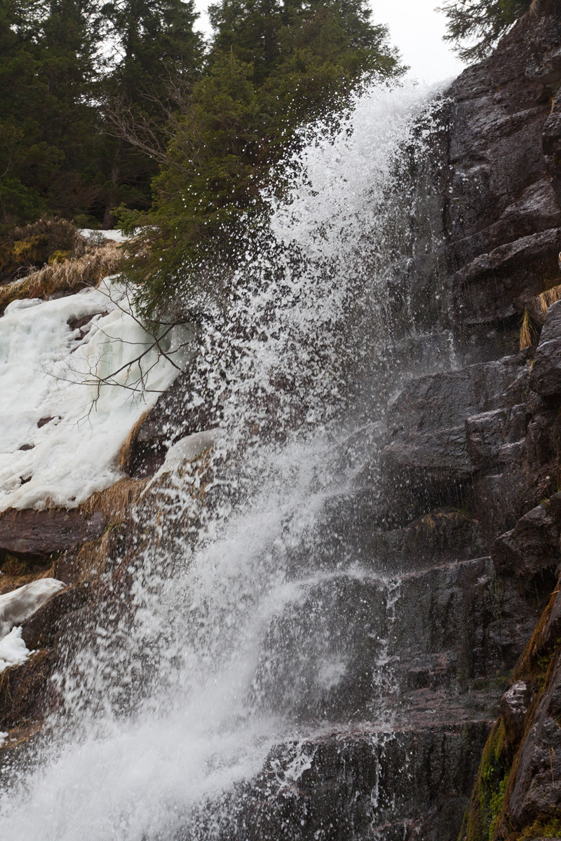
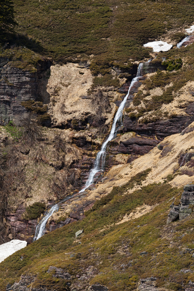
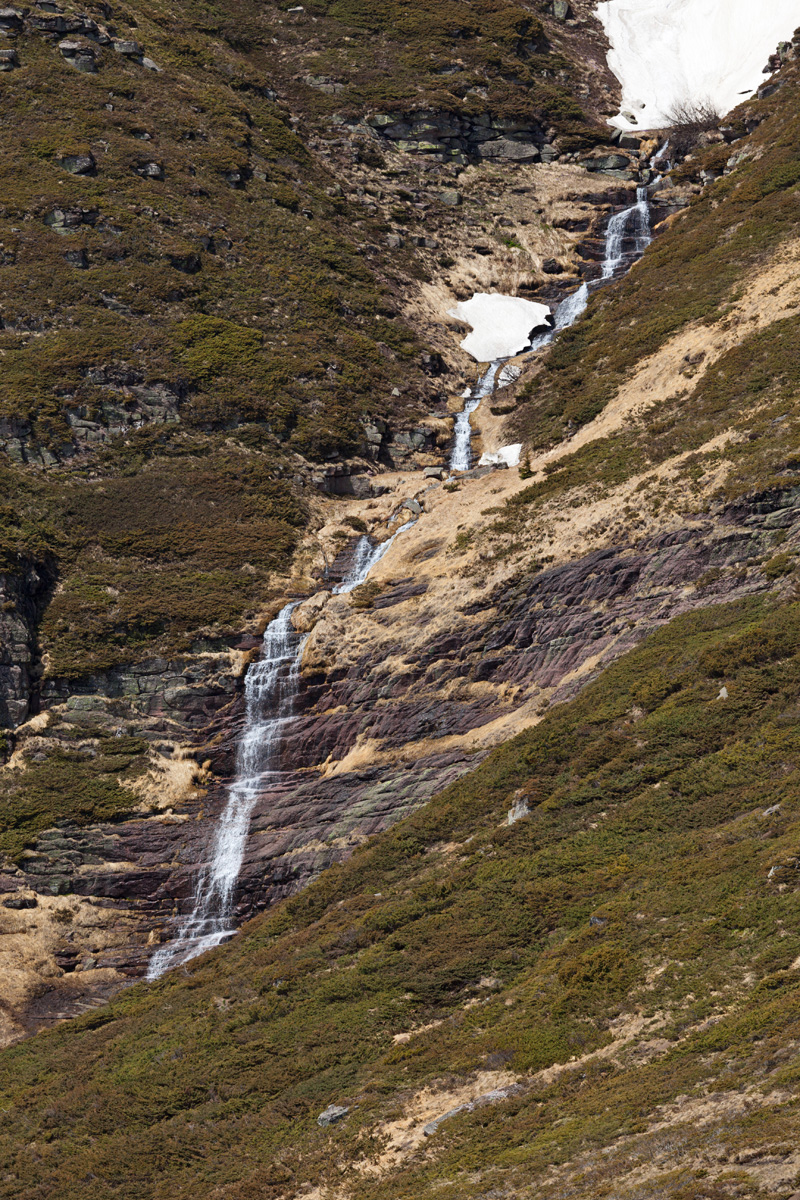
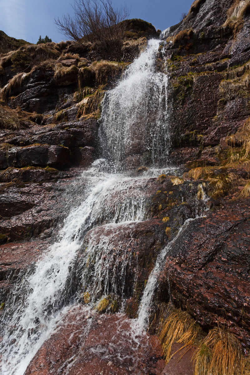
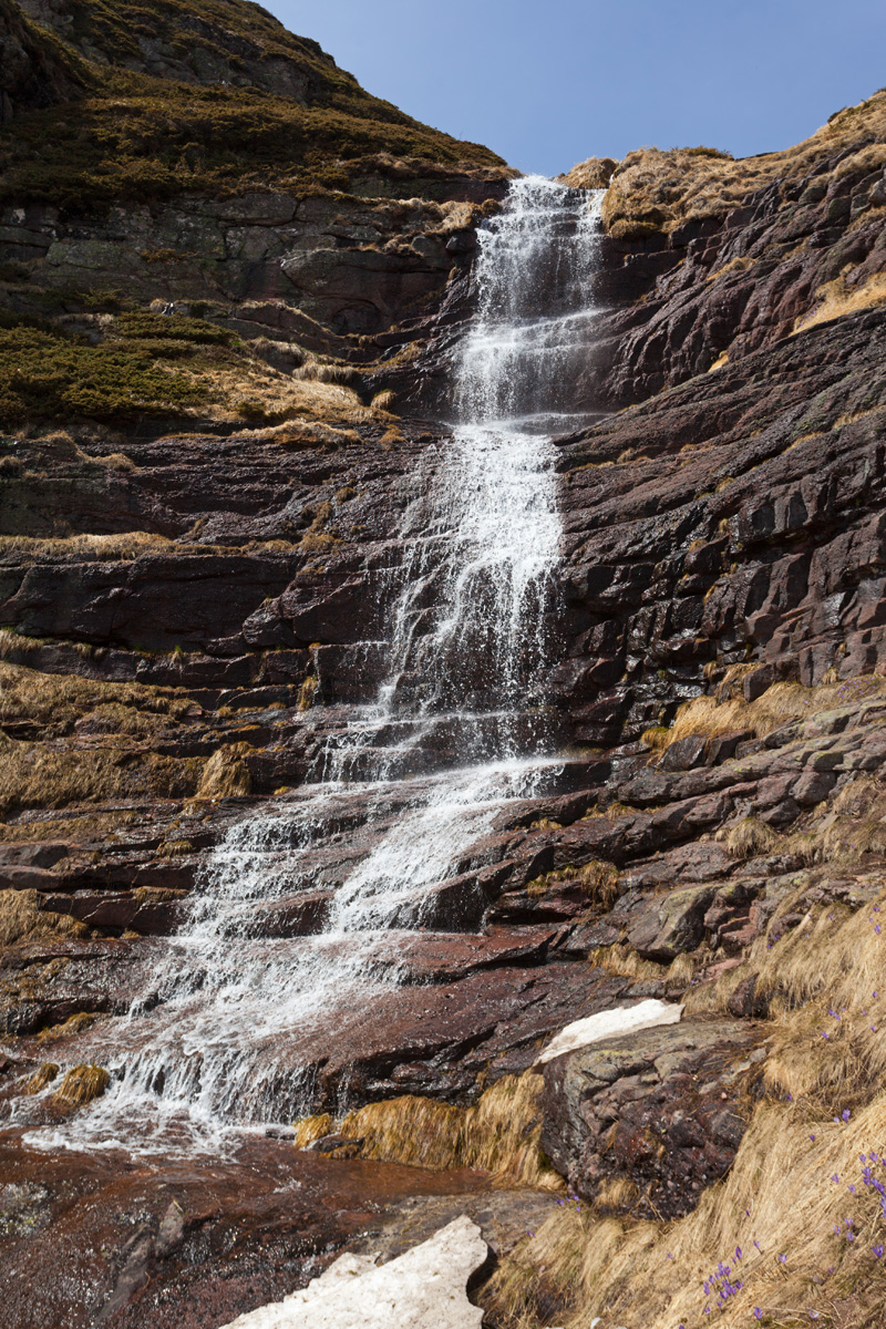
Kaluđerski skokovi waterfall
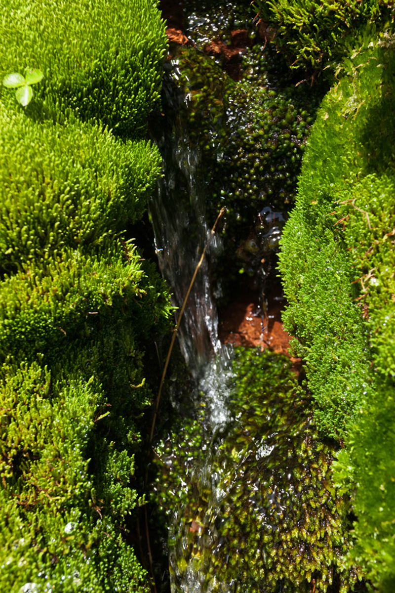
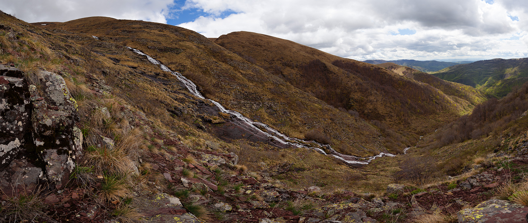
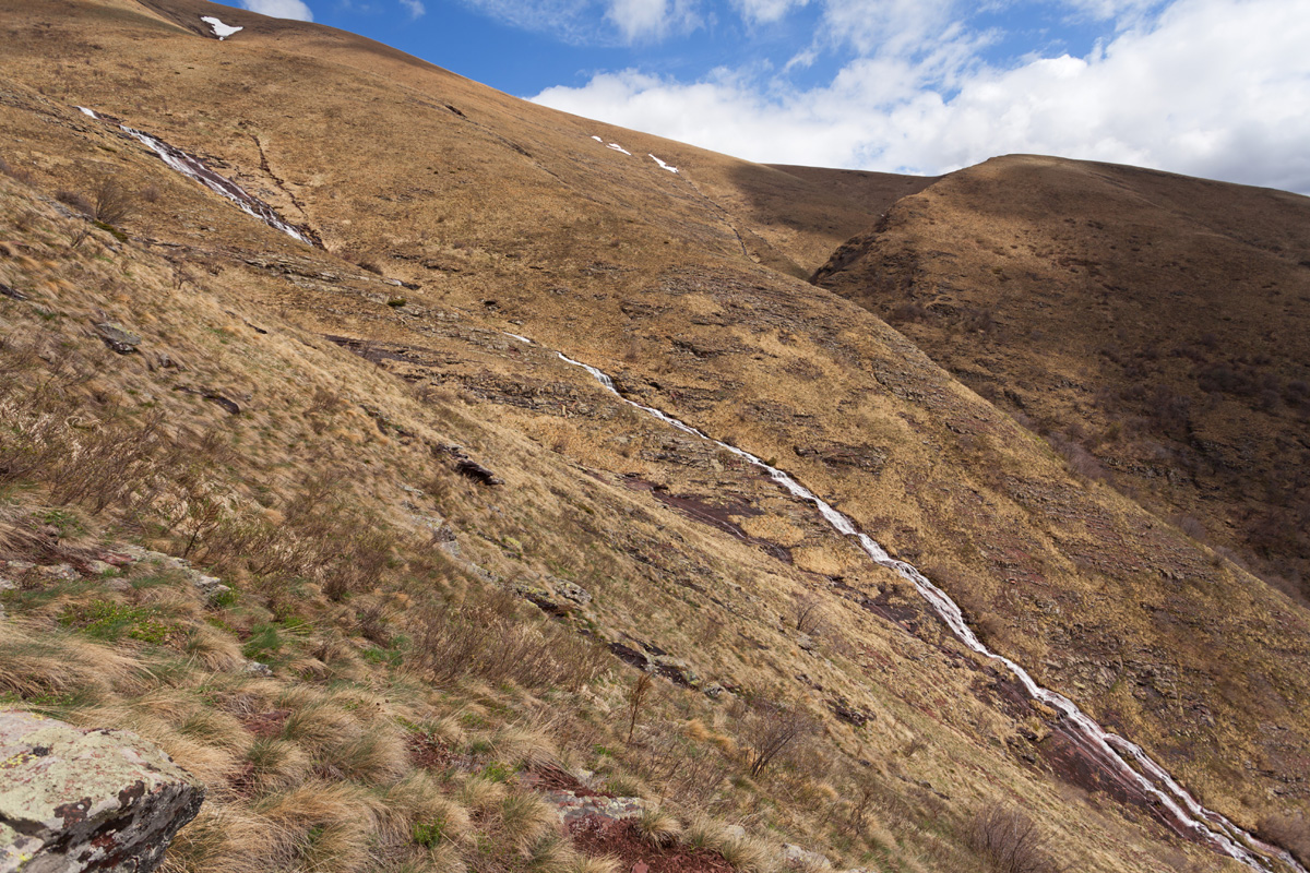
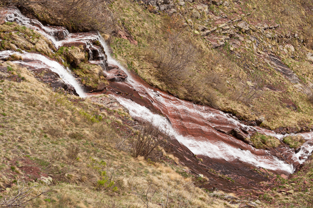
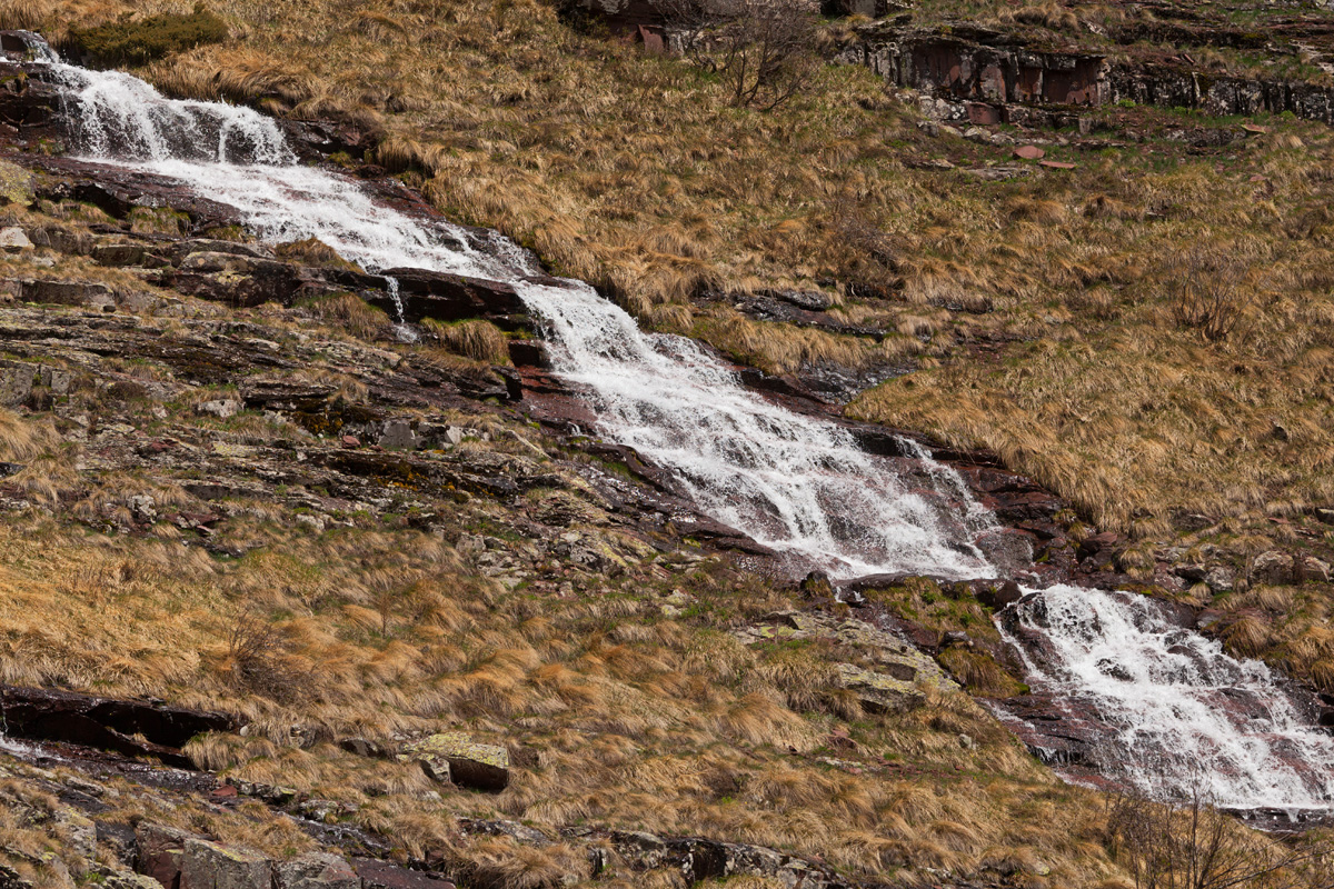
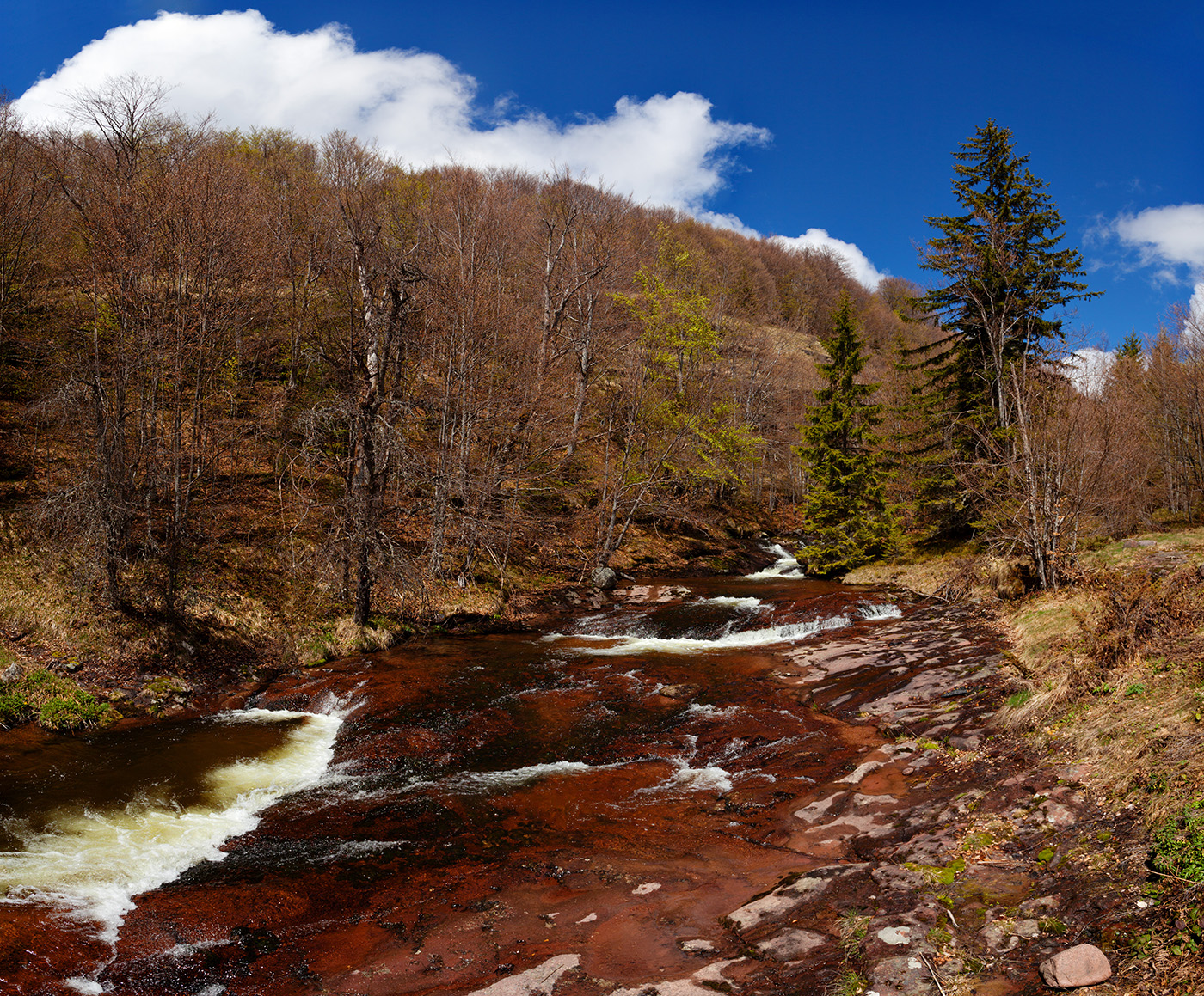
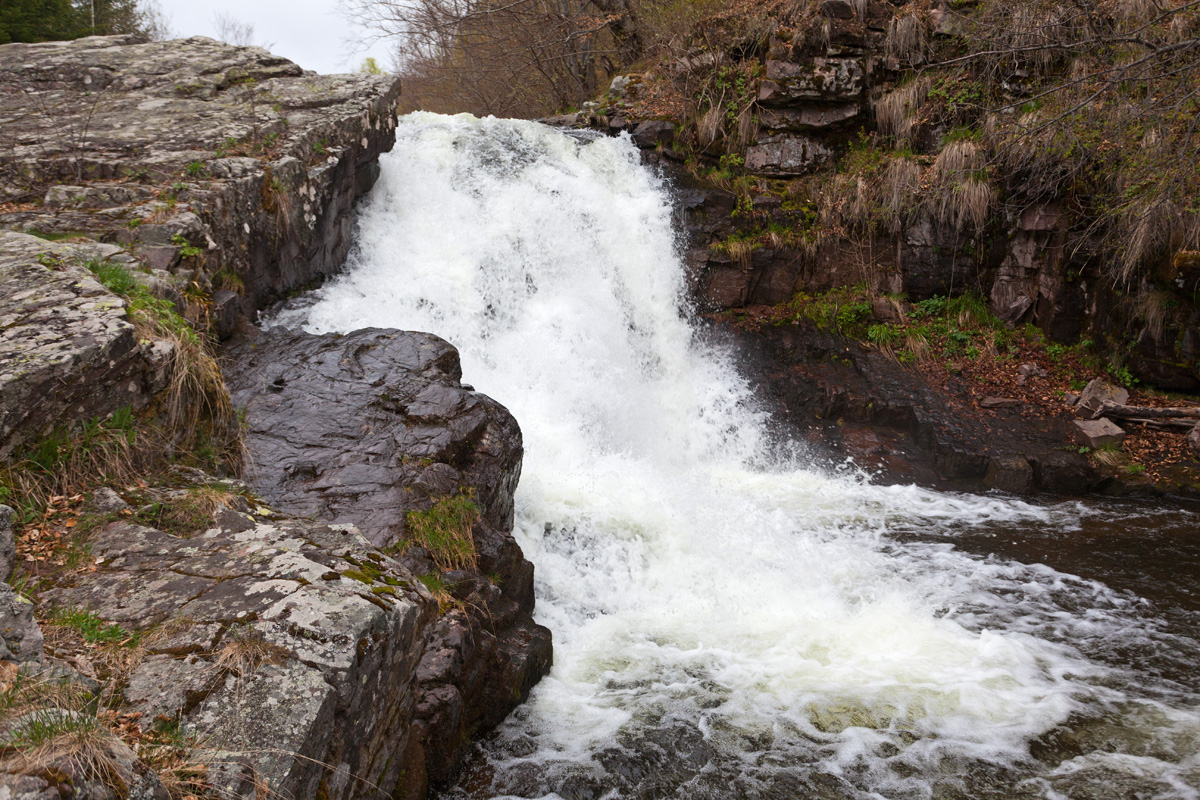
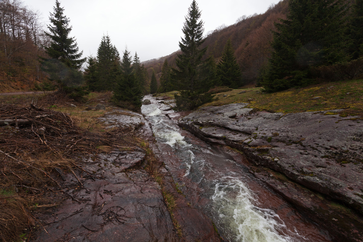
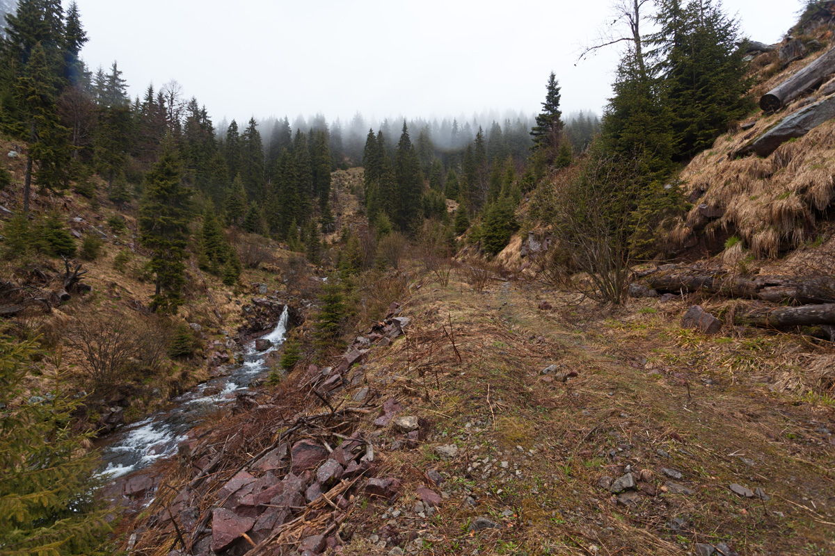
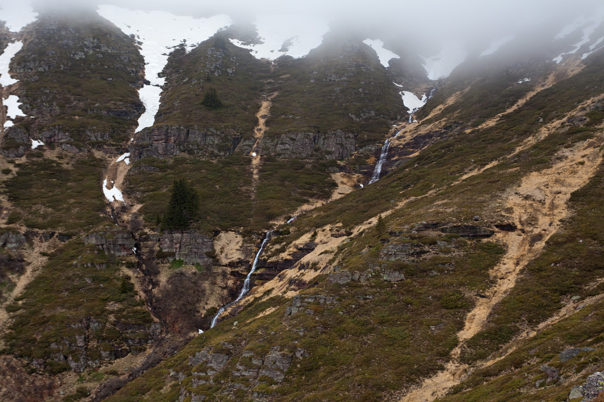
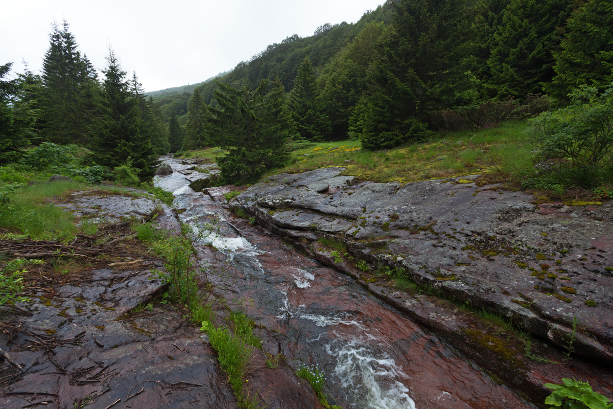
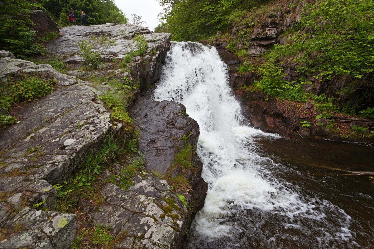
This is officially the highest waterfall in Serbia, with a total of 232m drop. It is actually a series of water cascades, but since these are not interrupted by steady flow it counts as a single waterfall. Water collects from numerous springs directly below Midžor, and the waterfall forms between 1550m and 1300m of altitude. The stream is most abundant in early spring (April), so that's the best time to visit.

Kaluđerski skokovi waterfall (VR)
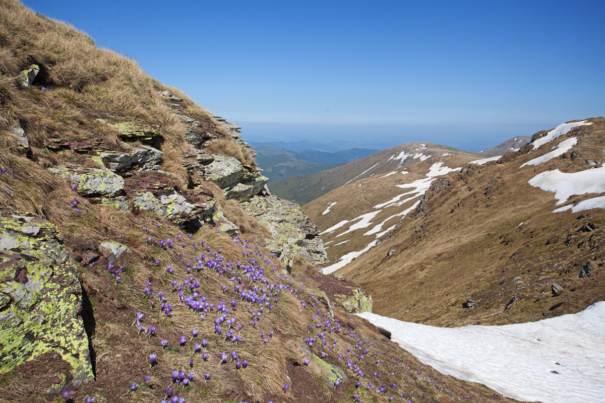
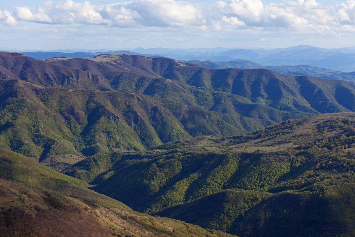
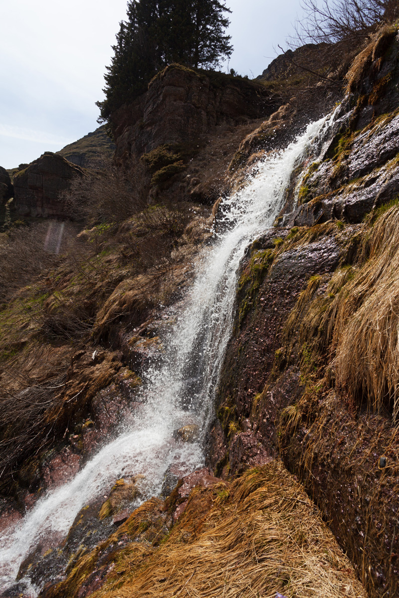
Short moment of sunlight
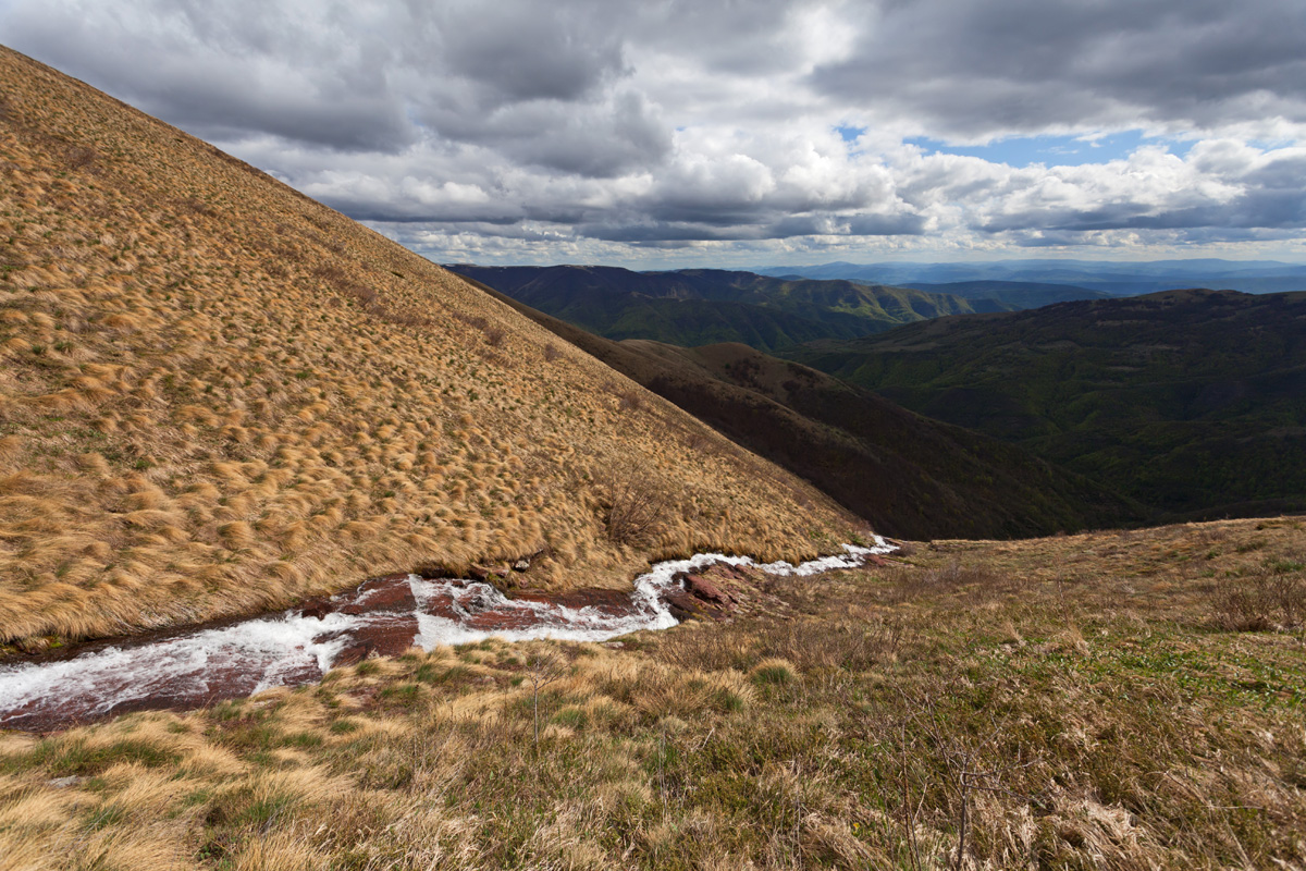

Above Durmanica point (VR)
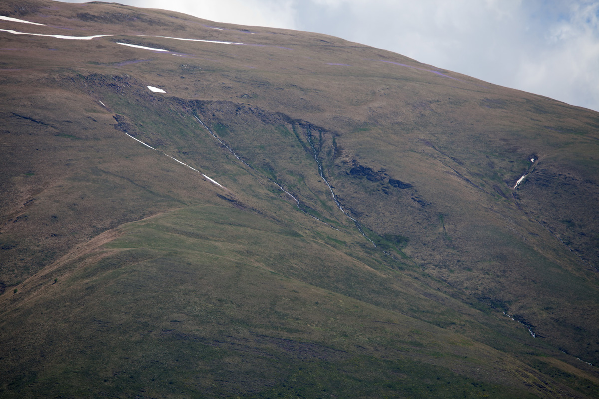
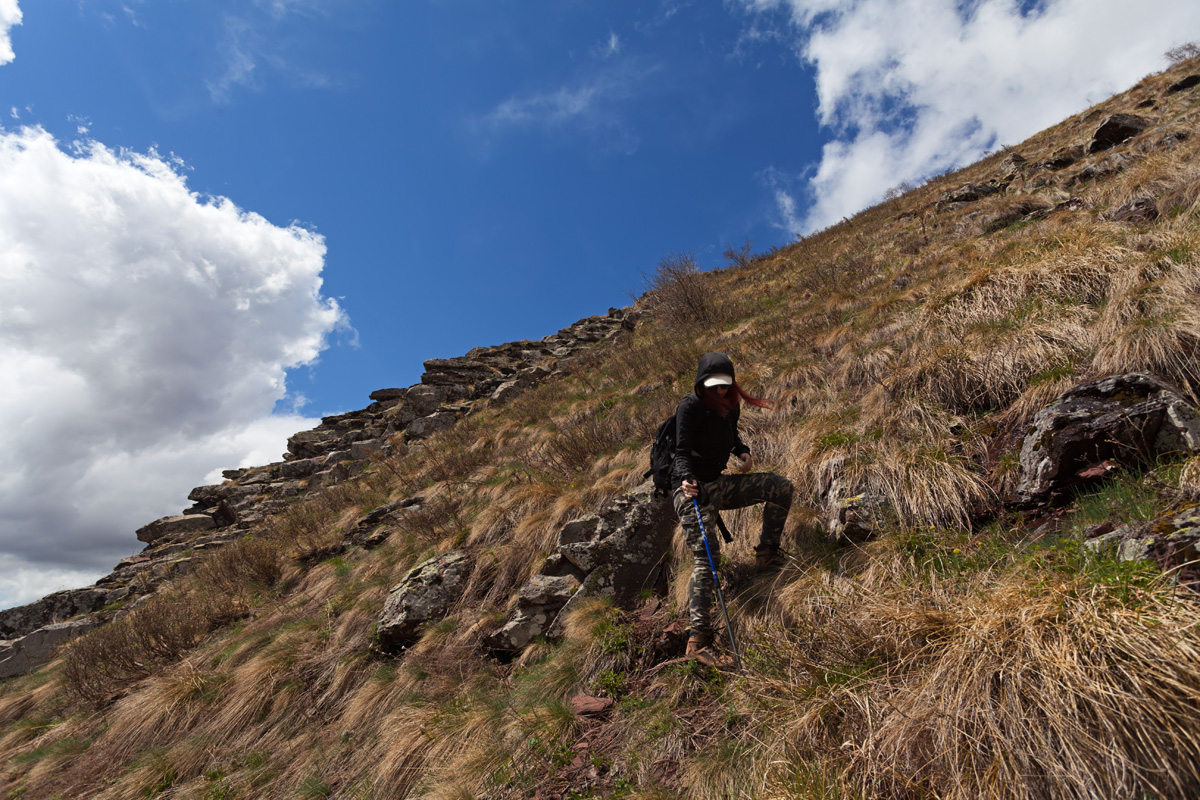
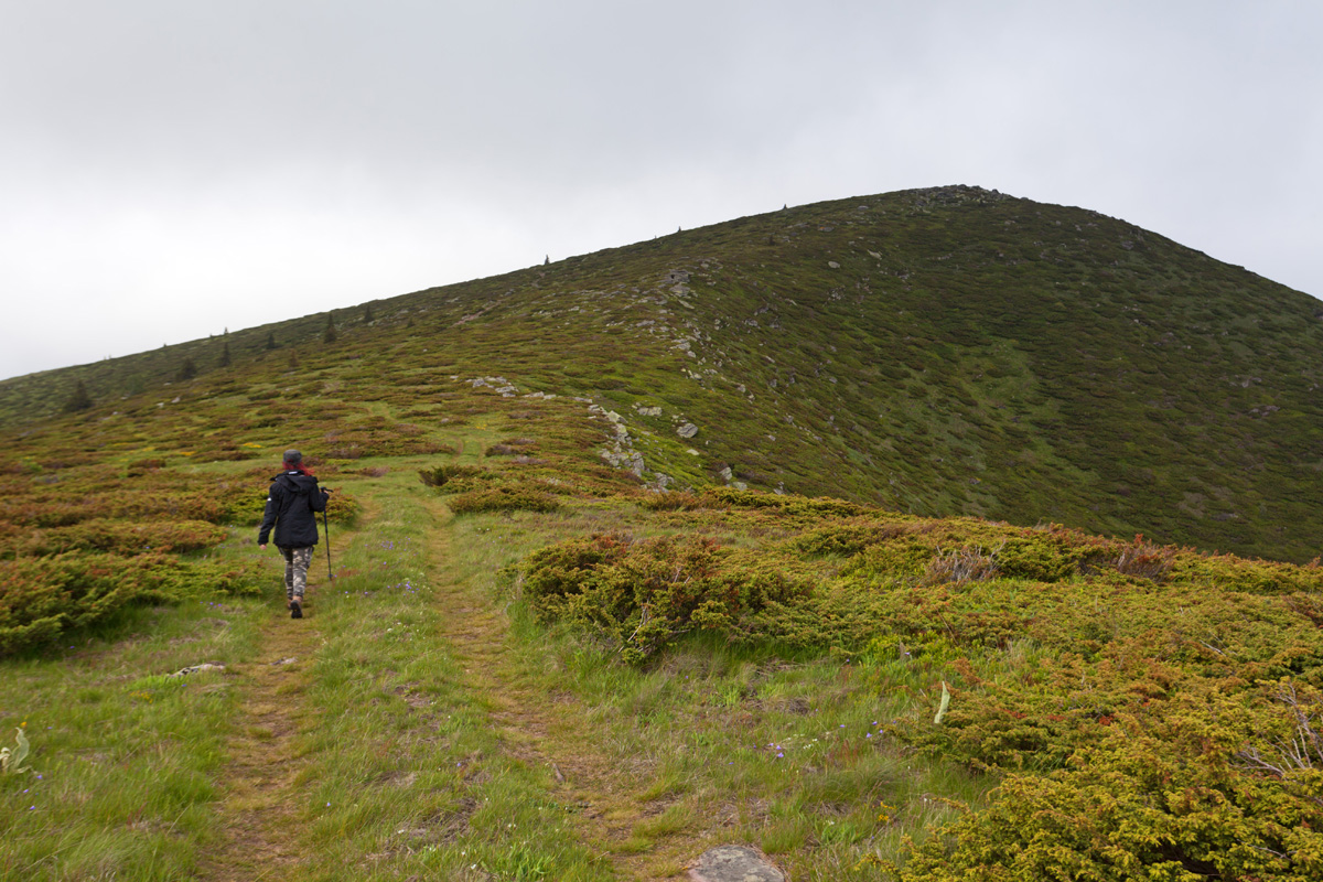
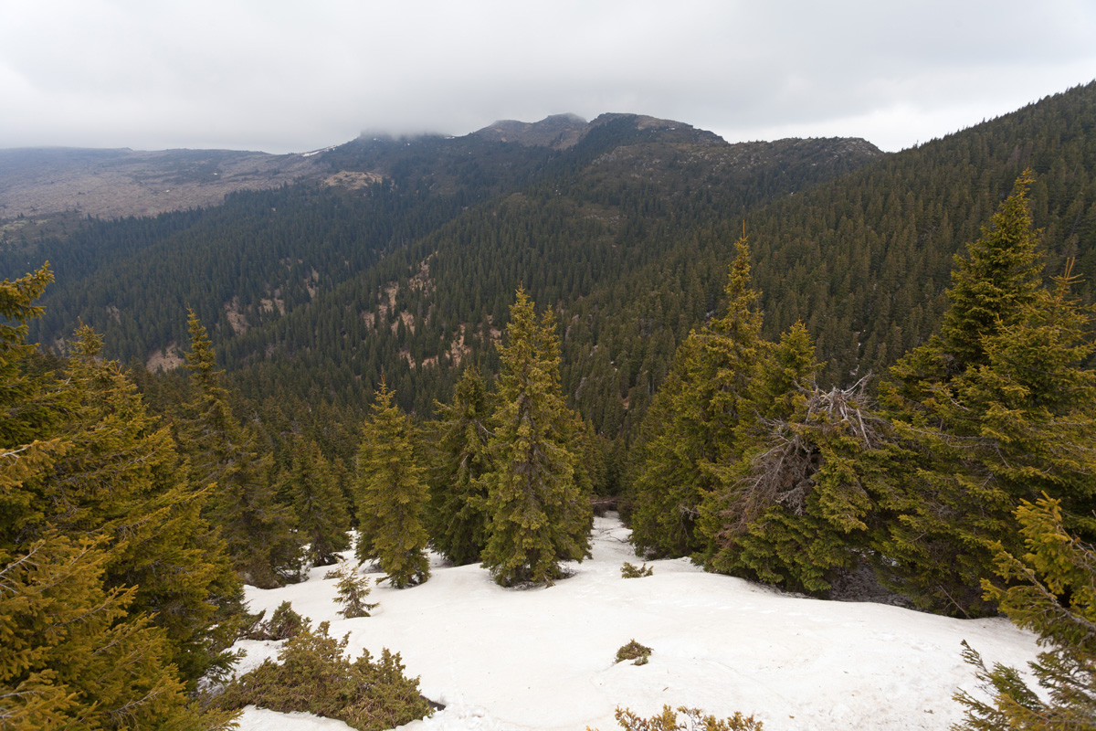
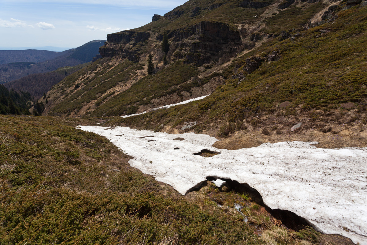
Walking the foothils of Midžor after climbing out of the "Kaluđerski do" valley, where the waterfall is.
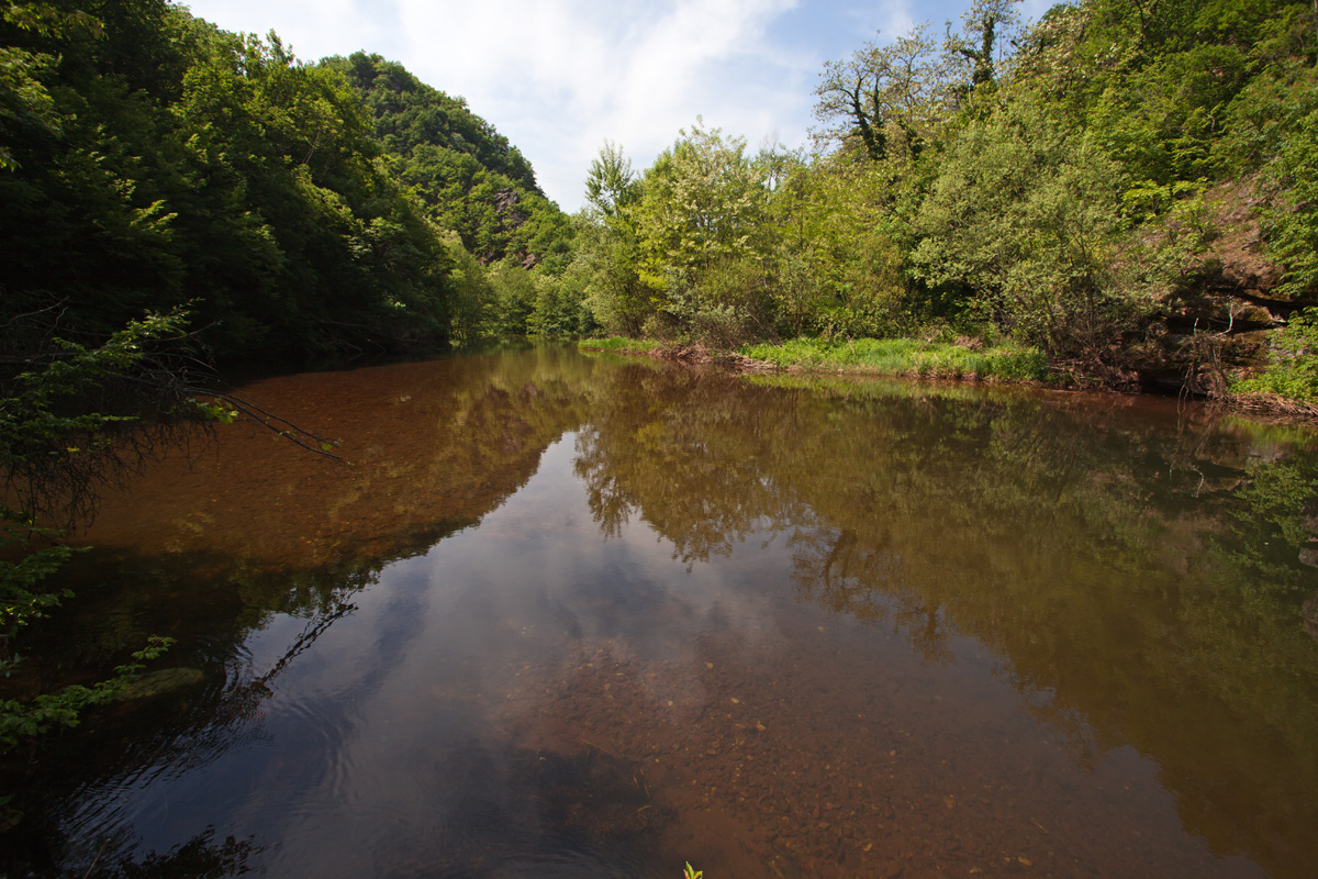
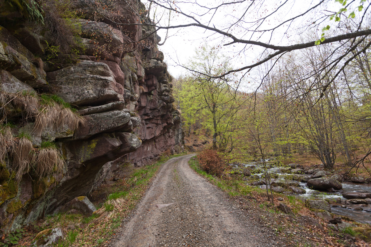
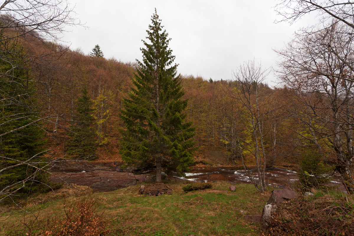
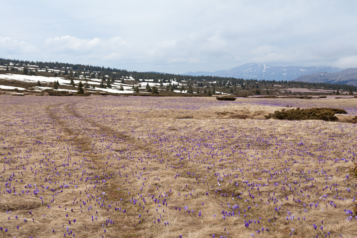
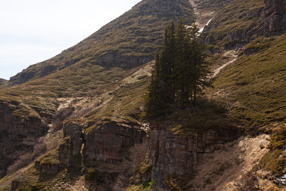
Arbinje valley
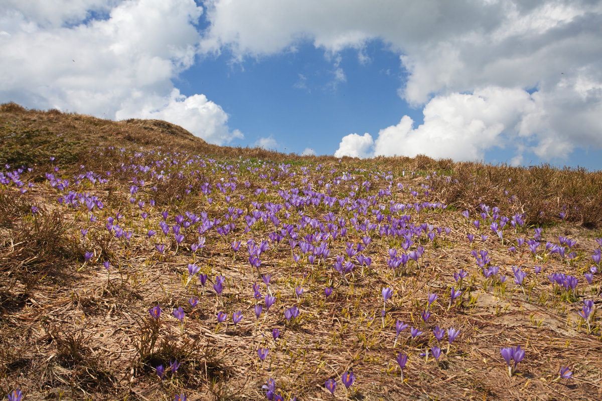
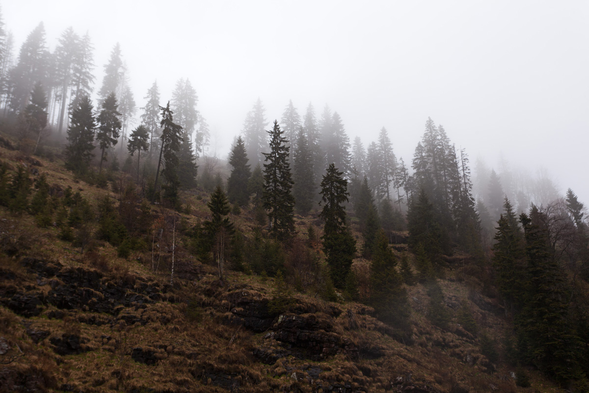
Arbinje counts as potentially the most beautiful river valley of Serbia, formed by Dojkinačka reka (Dojkinci river). In early spring the vegetation is yet to wake up from hibernation, and snowfall in May is not at all uncommon here. The head of the valley is strongly curved towards south-east in the direction of Kopren plateau on which the springs of Dojkinačka reka lie (Tri Kladenca springs - three small lakes). Shortly after their waters join, a spectacular waterfall forms (also named Tri Kladenca). Unfortunately due to severe weather (heavy snow), it was not possible to reach it on this trip.


Kopren foothills panorama (VR)
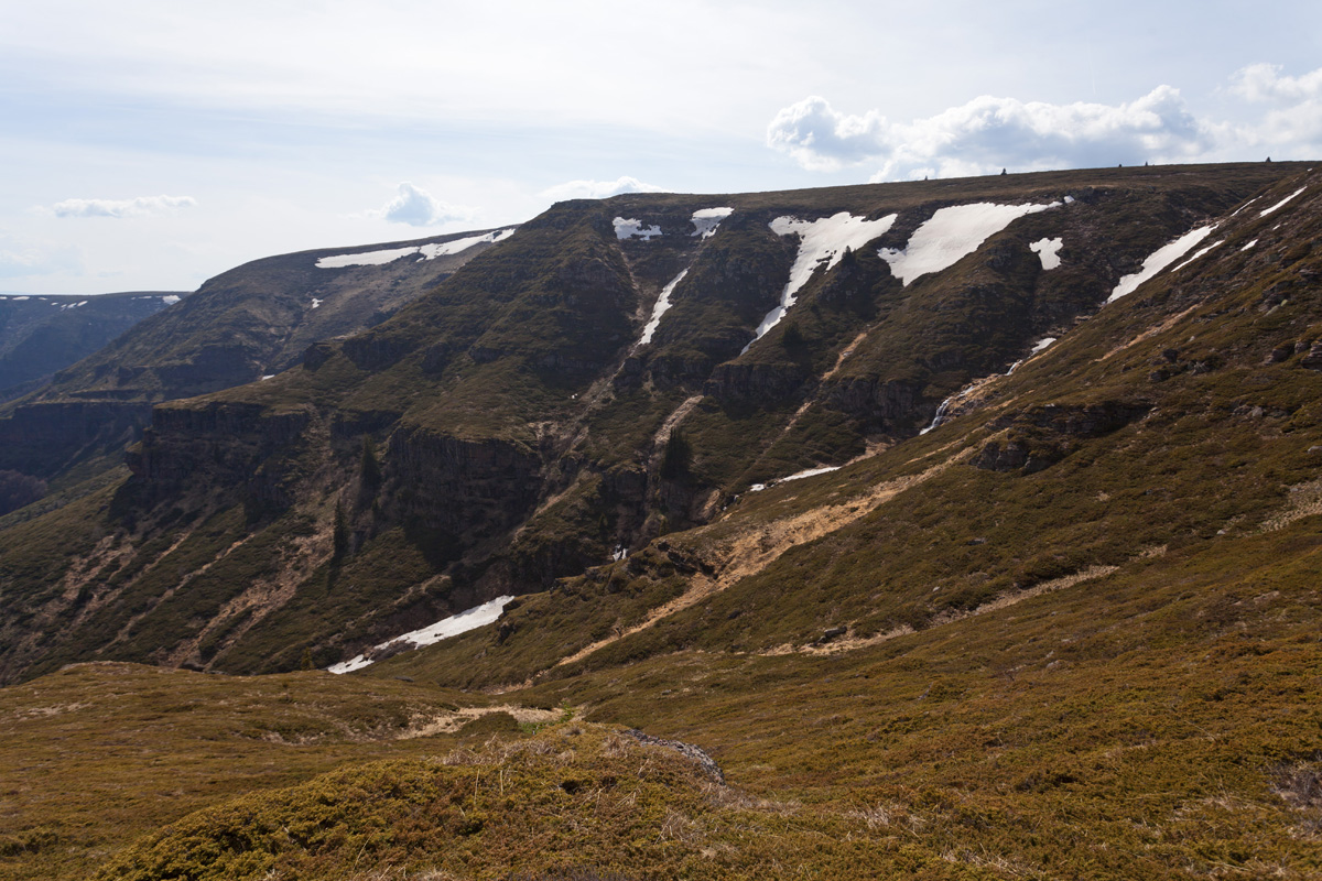
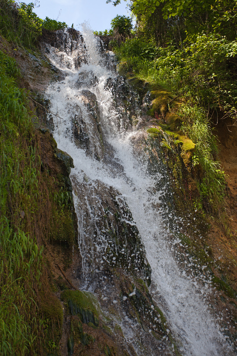
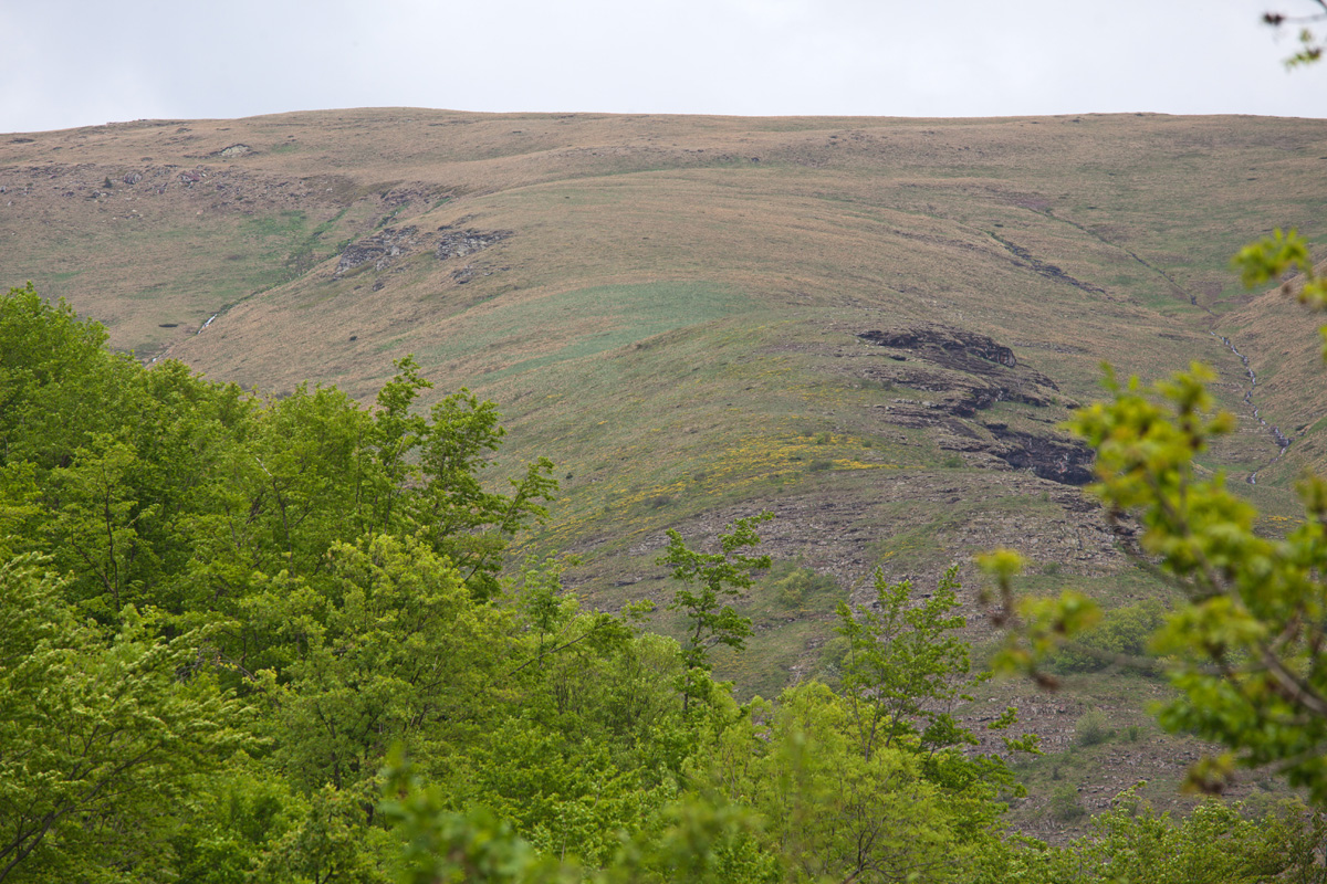
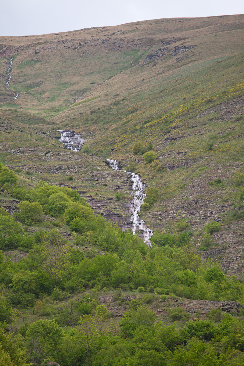
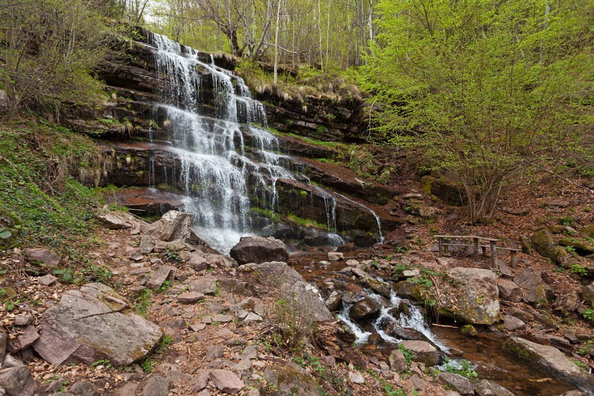
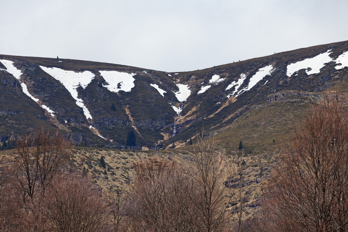
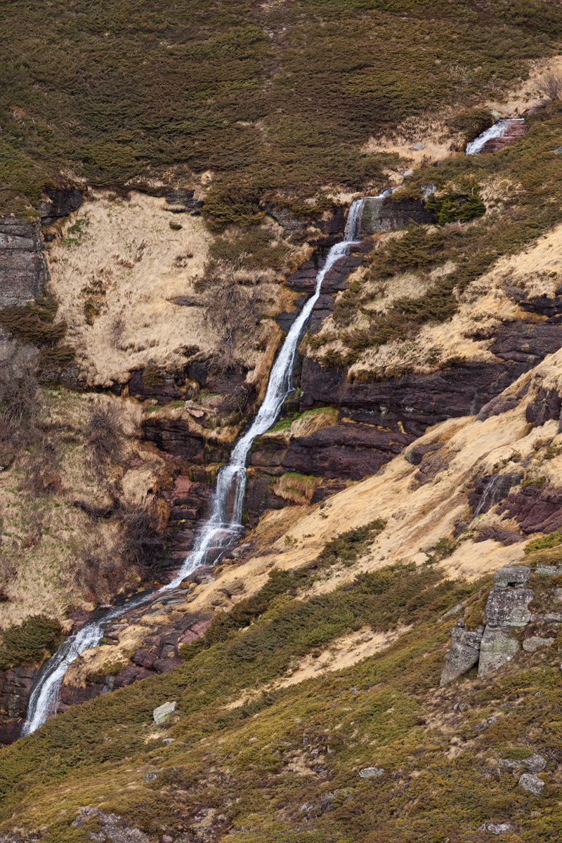
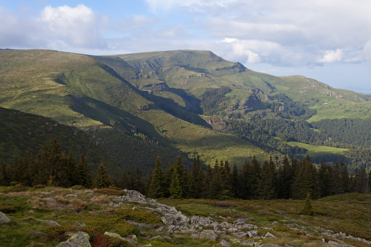
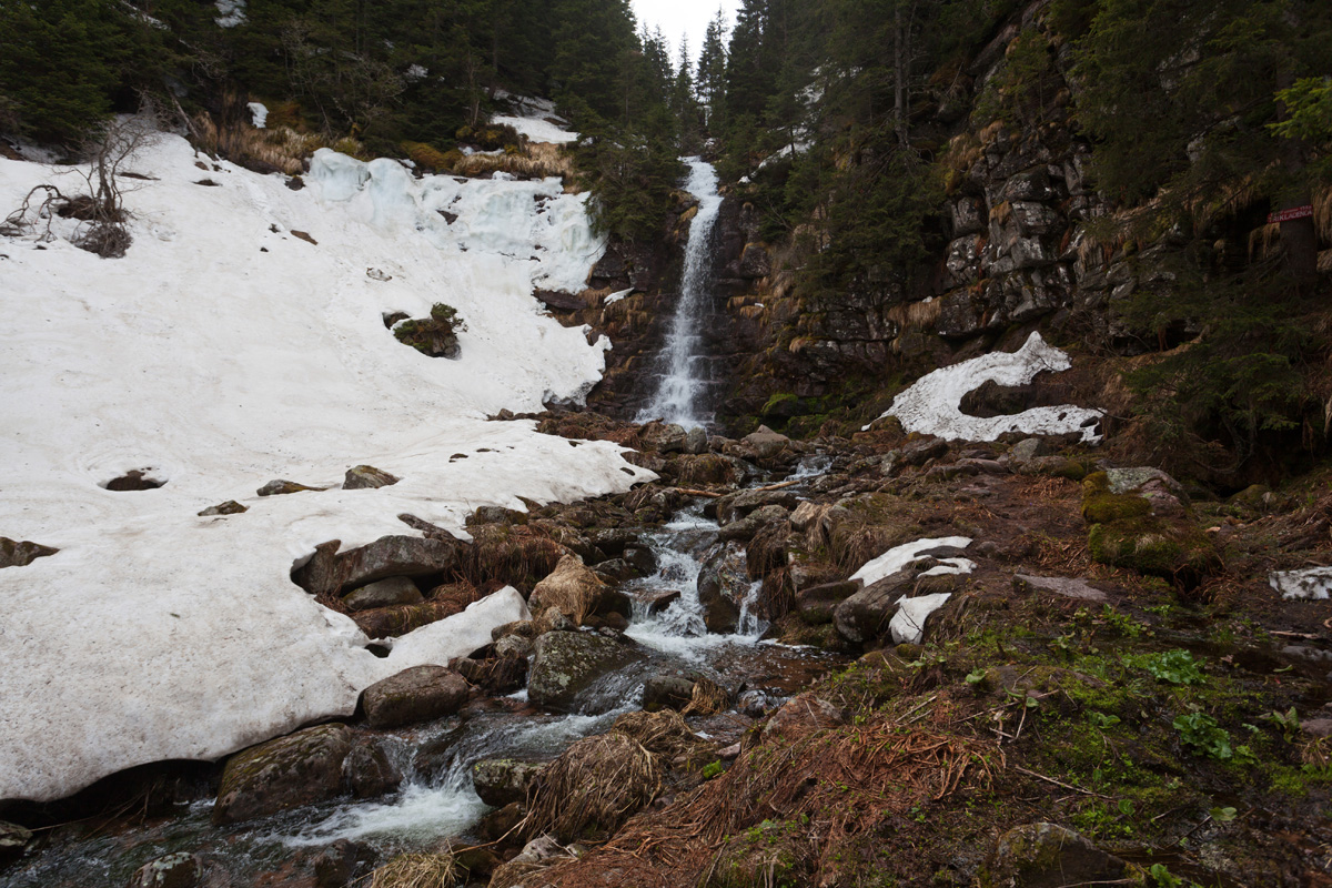
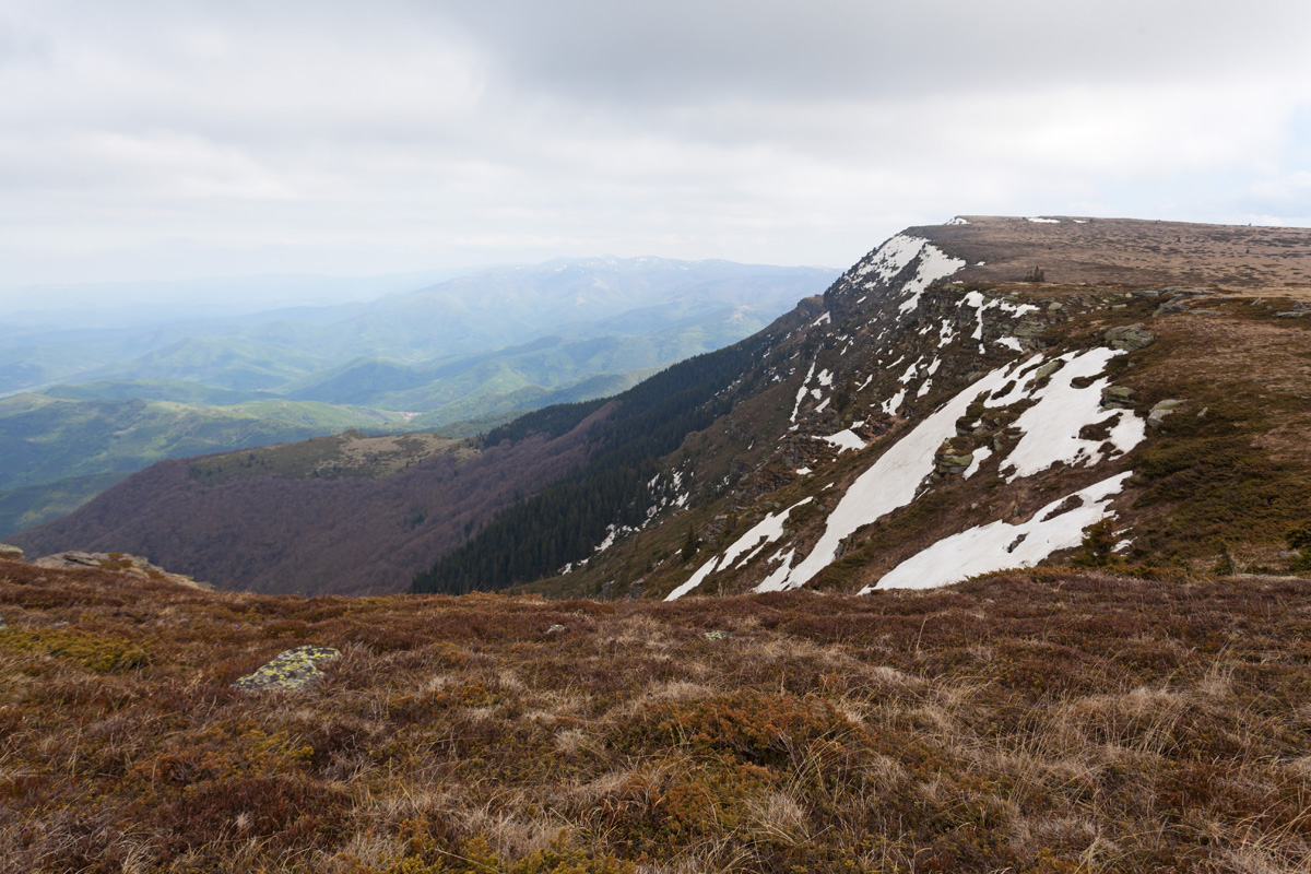
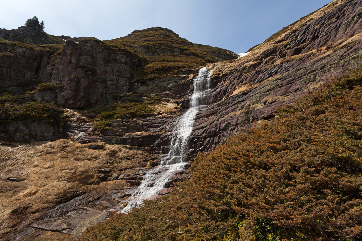
At 1963m altitude Kopren dominates the southern end of Serbian Stara Planina. It overlooks the large Kopren plateau, on which many springs form that later join and form rivers. Waterfalls are everywhere here, the most notable being the Tri Kladenca waterfall on Dojkinačka reka and Kopren waterfall on Dabičin potok. With 103m of drop, Kopren waterfall is the most spectacular on Stara Planina as it is almost vertical in its lower and upper sections. Similar smaller waterfalls with no names can be found in close proximity, but most of these exist only in spring.

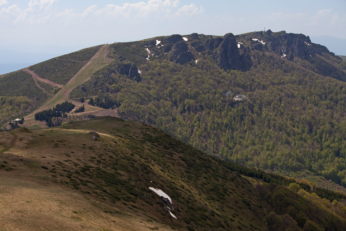
Vrtanj peak panorama (VR)
1562m high peak on Serbian - Bulgarian border.
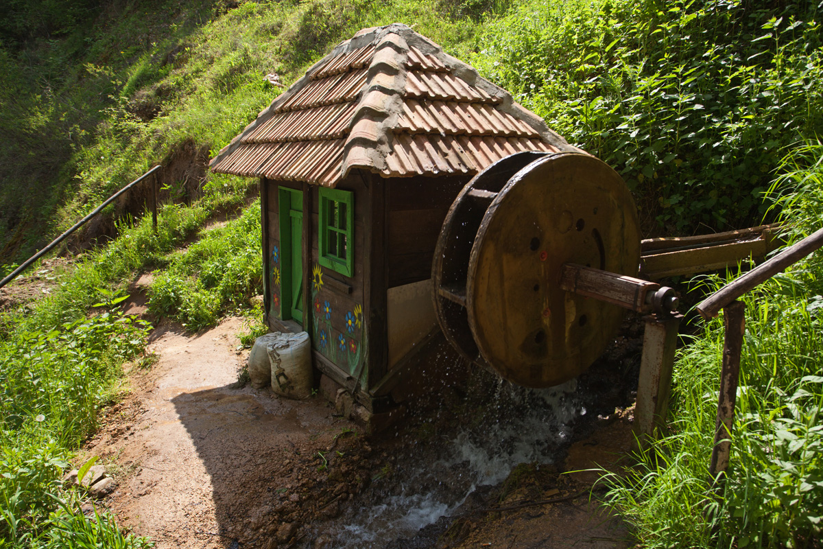
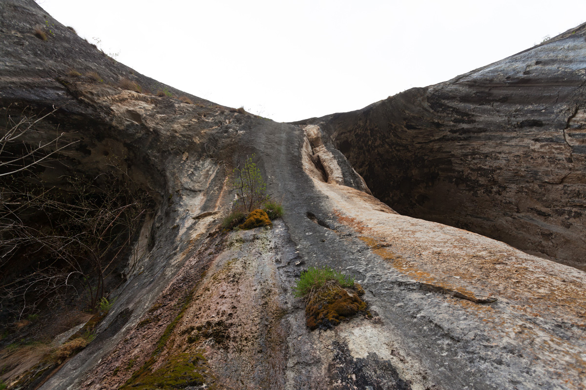
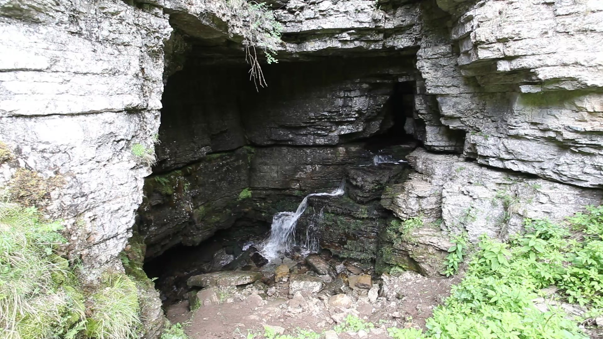
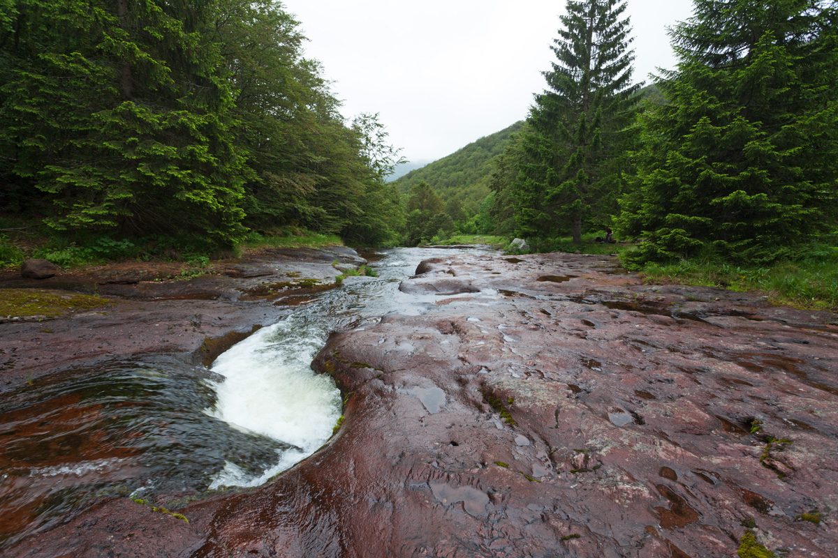
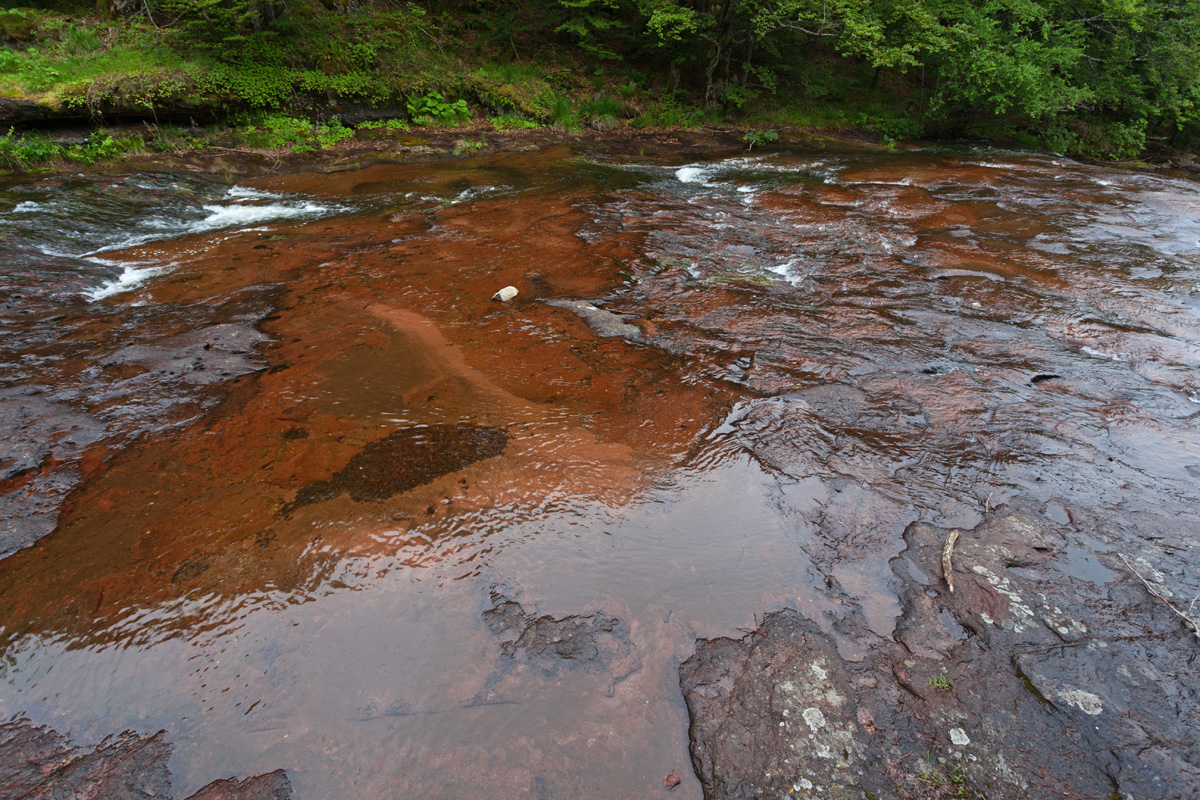
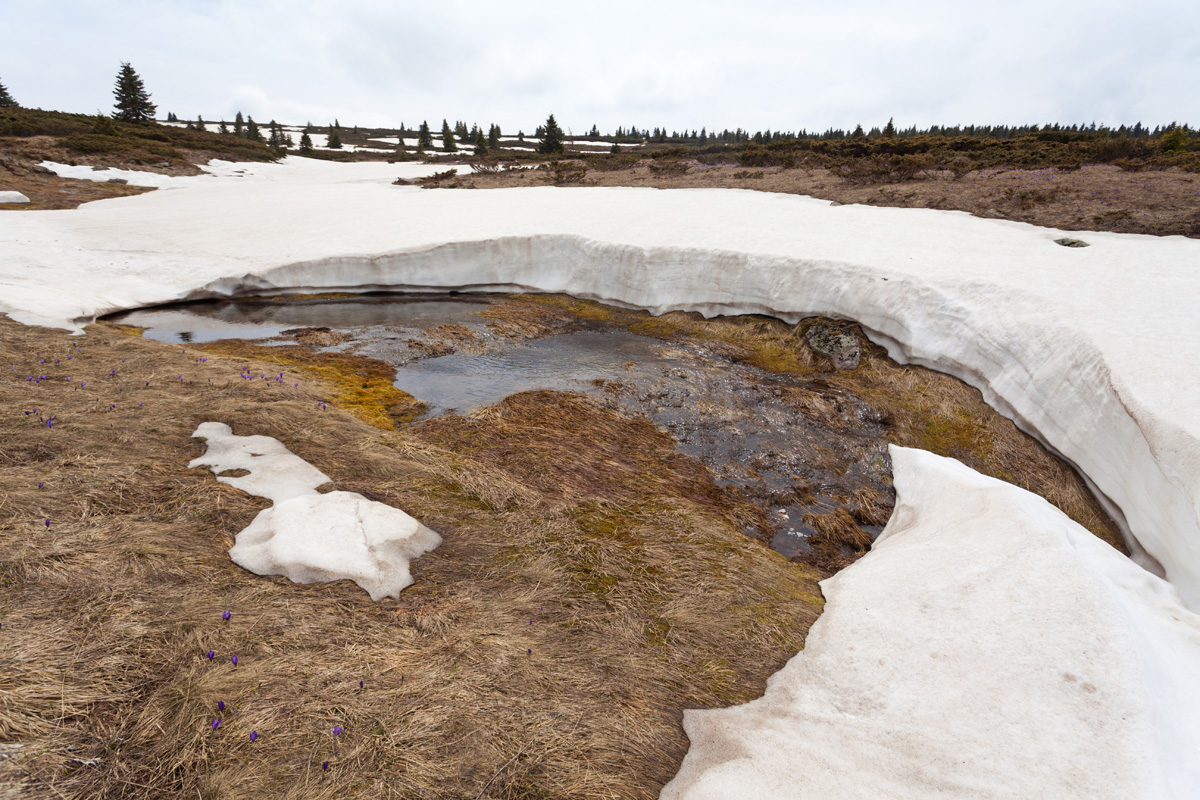
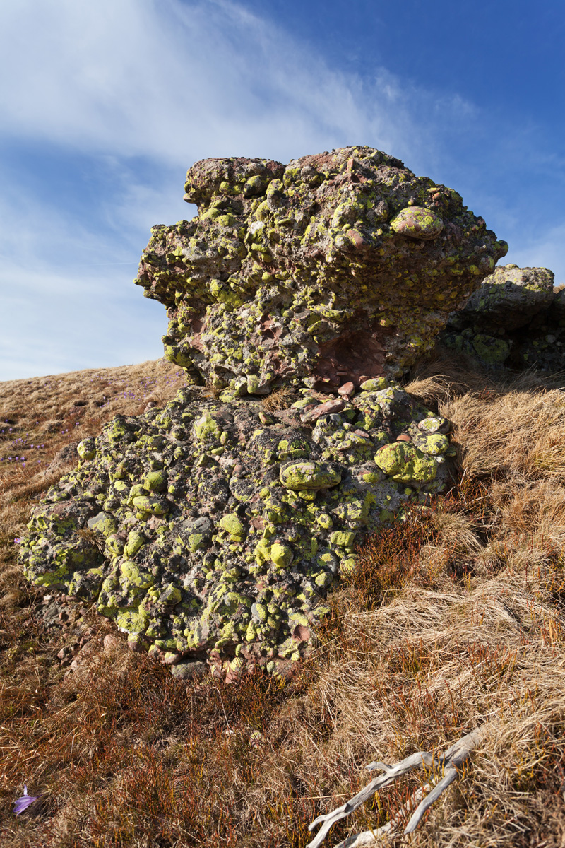
Ponor
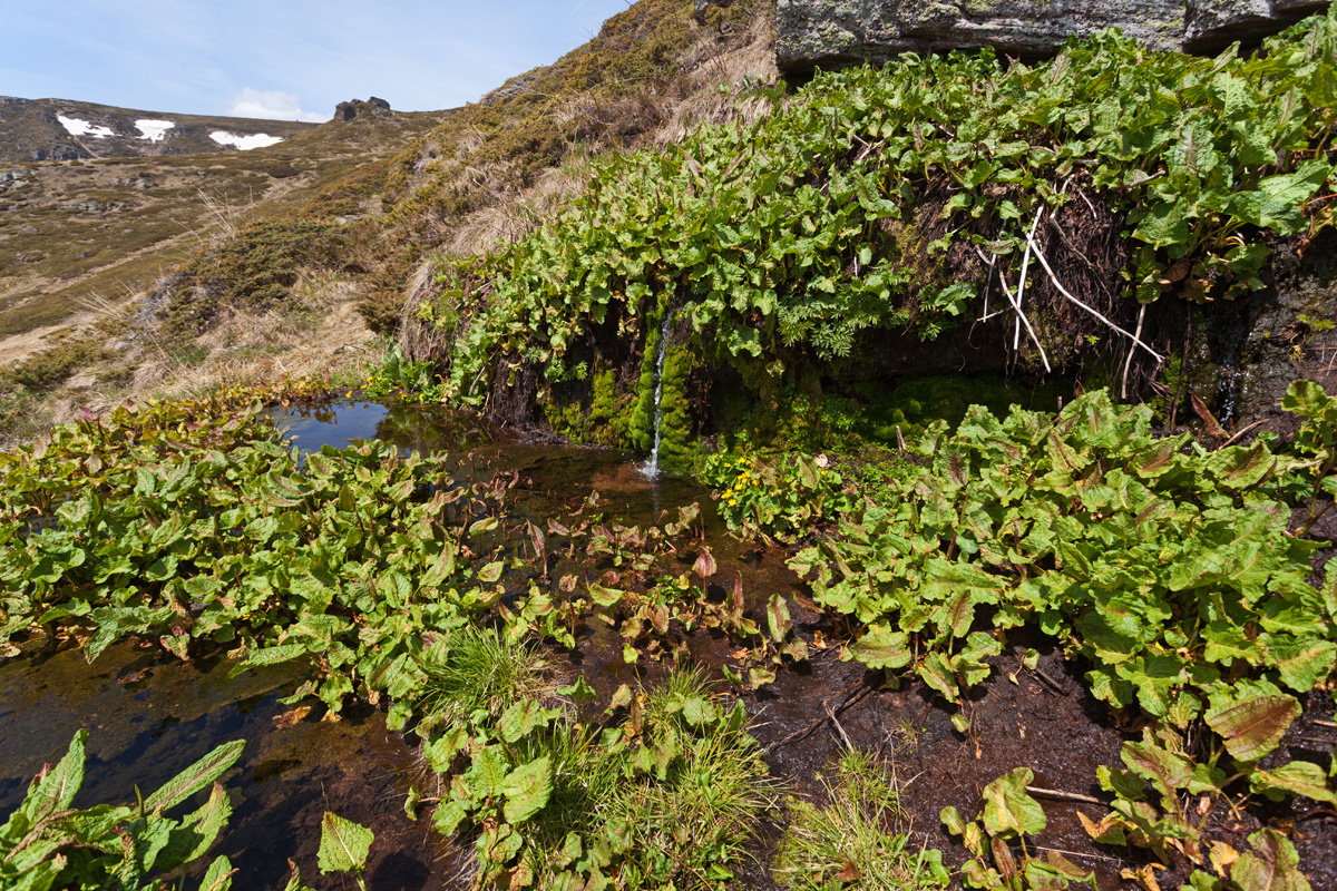
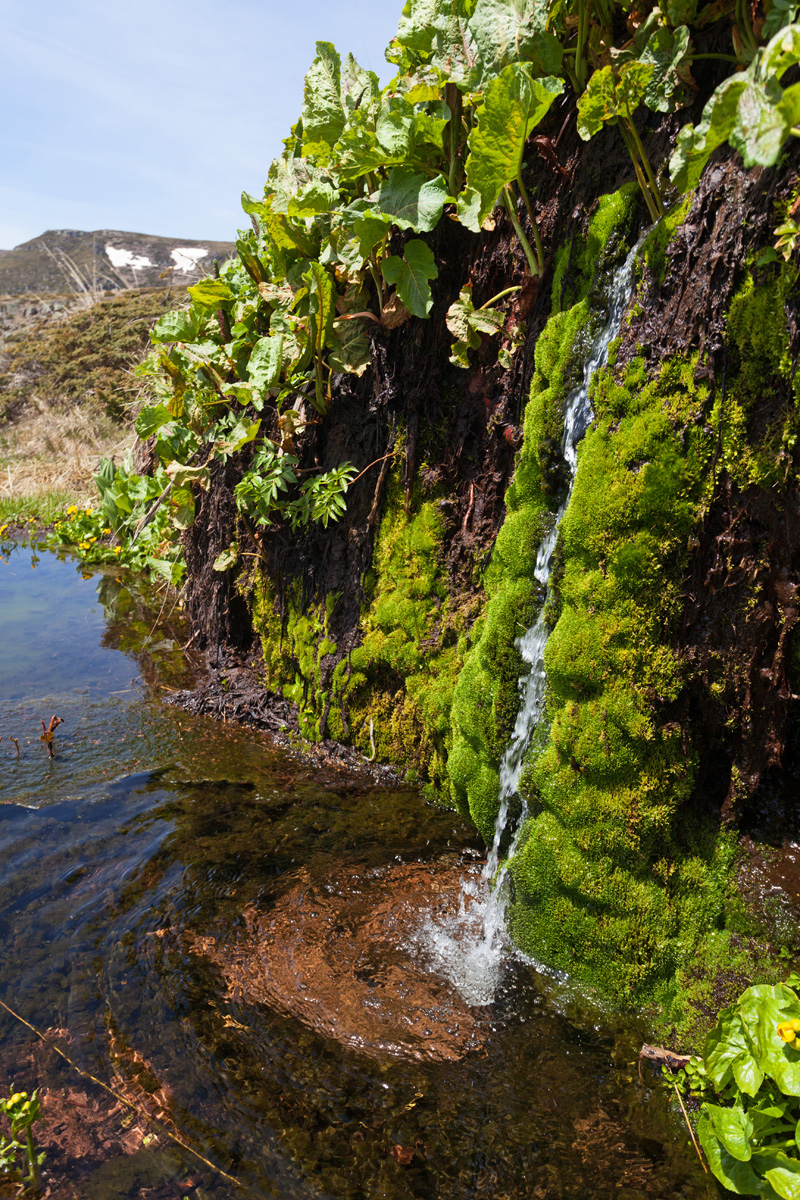
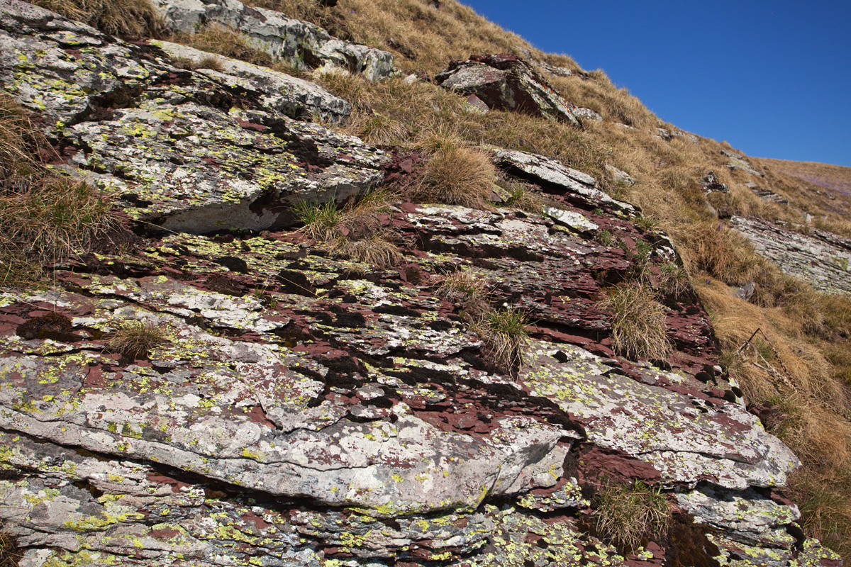
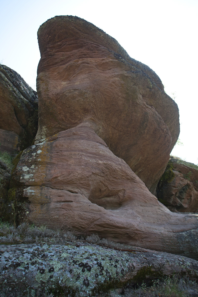
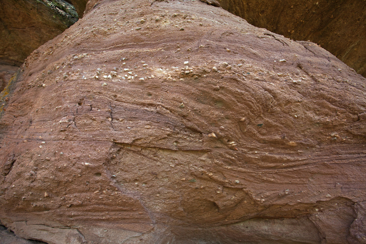
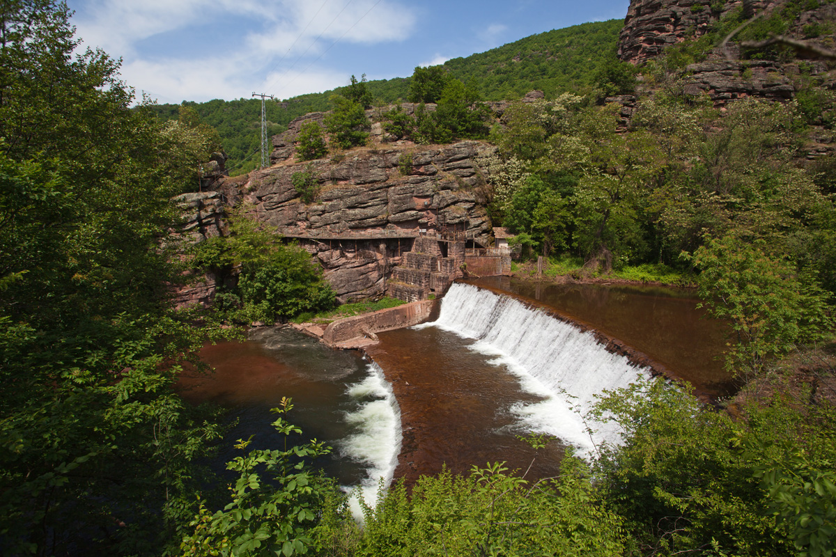
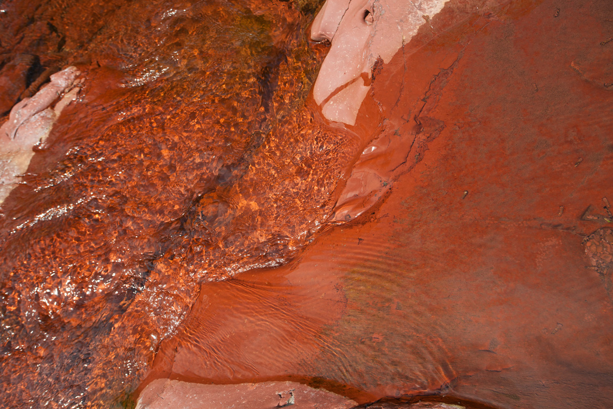
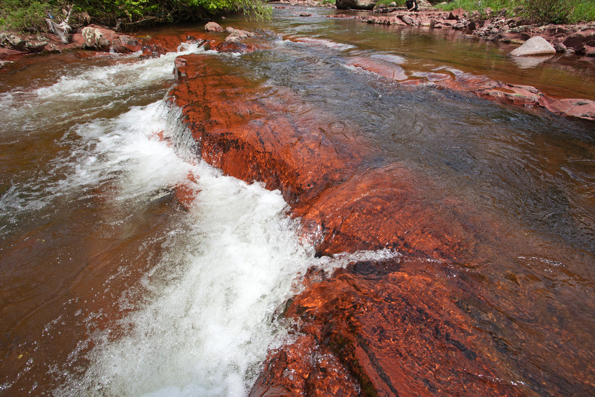
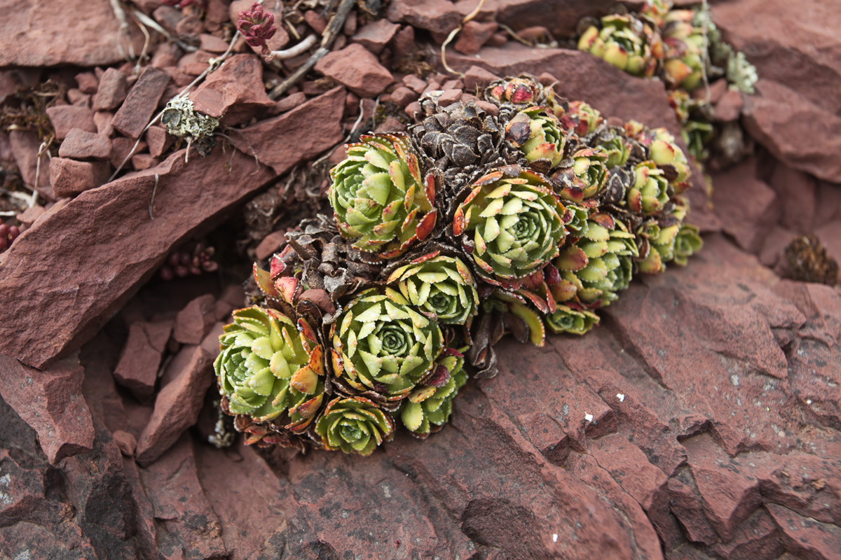
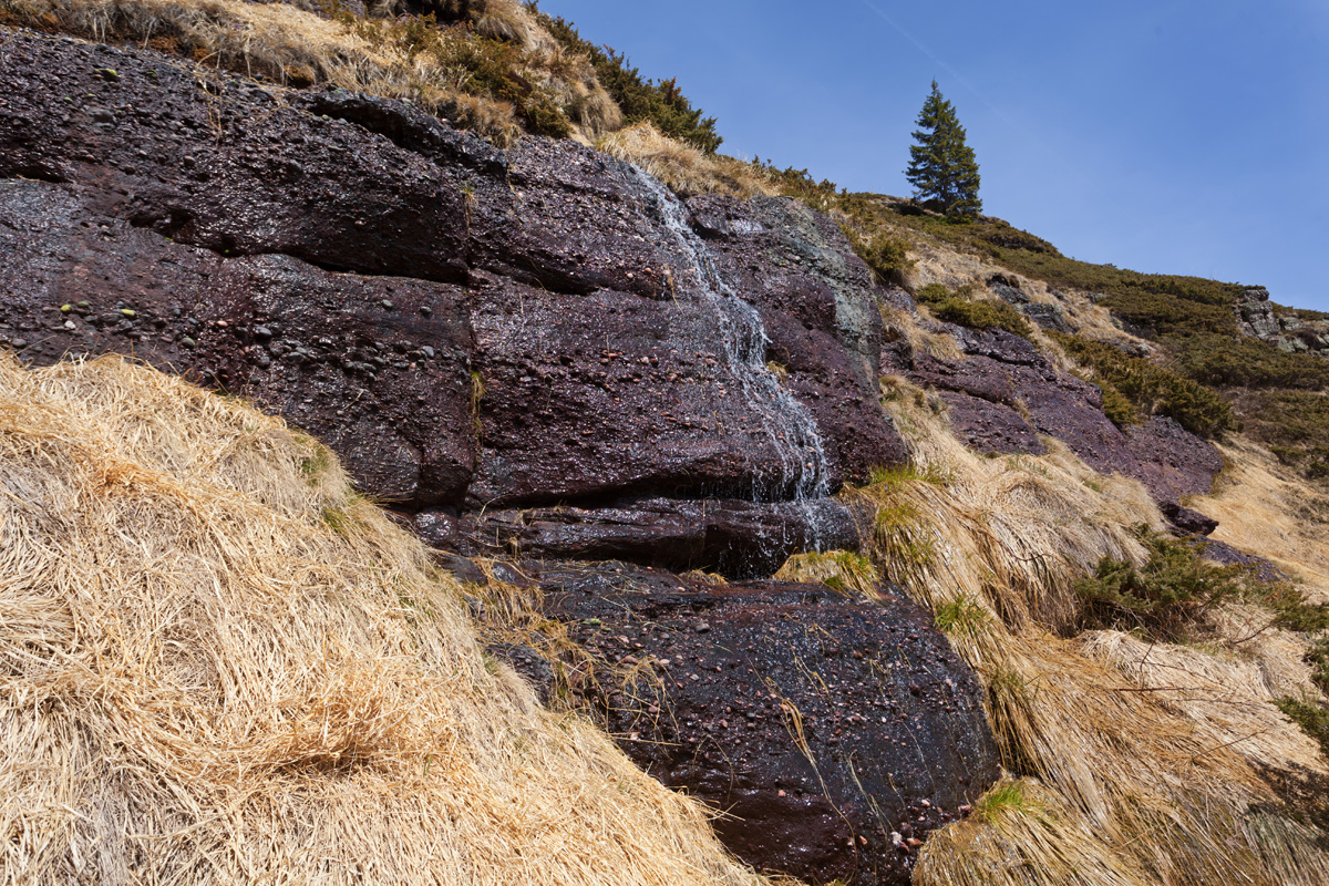
Most of Stara Planina in this region is composed of red sandstone rock. Ponor is a karst depression sitting at a relatively high altitude of 1413m, making a notable exception in this landscape. It's got its name after the natural sinkhole at its bottom where water stream emerges from the rock, only to disappear again a dozen meters away. The sinkhole is more like a small cave and is accessible, but relatively short. However in spring when the water is abundant, at the end of the cave a person can hear the roar of waterfalls hidden deep under the mountain. At the base of this particular ridge is the Vrelo, a typical karst spring with one peculiarity - almost every year the outflow stops for just one day in autumn. Research indicates a complex system of siphons and underground lake connections producing the phenomenon.

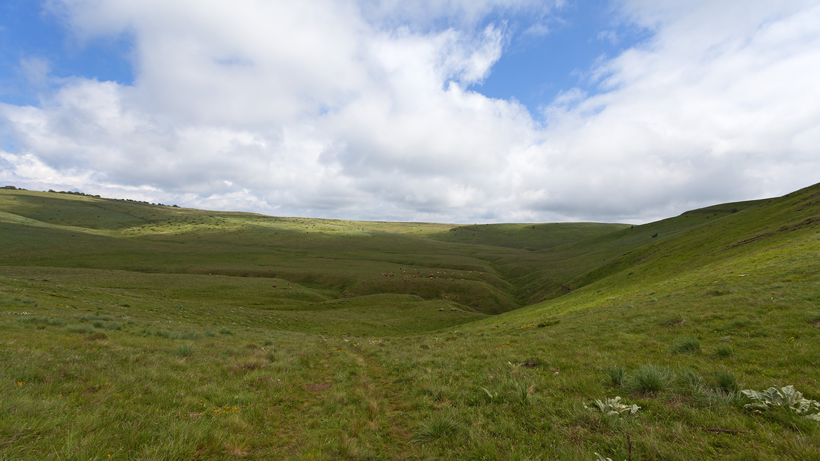
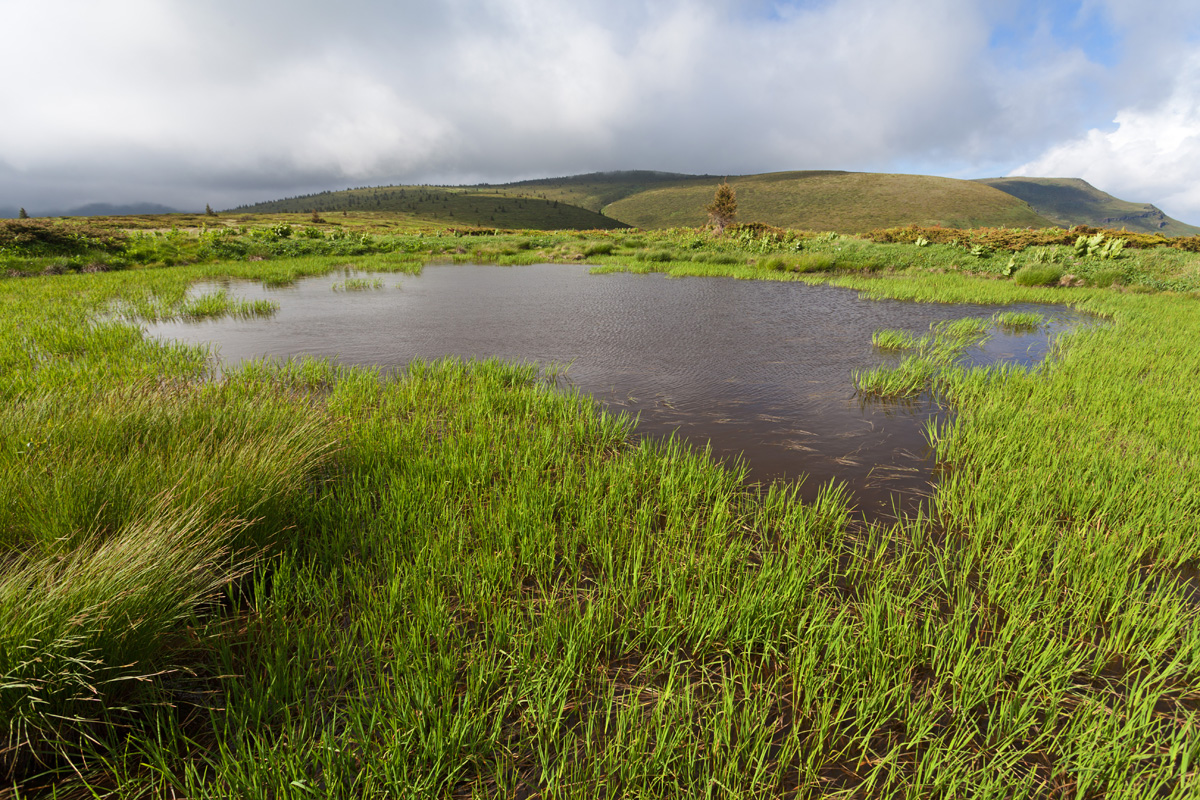
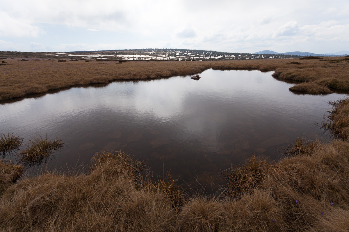
Lakes of Stražna Čuka (VR)
This long ridge slowly climbs towards its culmination point - the Kopren Plateau and the Kopren Peak. Along the way a number of small ponds exist on the flat grasslands (after passing the Stražna Čuka peak), some persist even through summer. Lakes are not common to Stara Planina, making this place kind of unique.
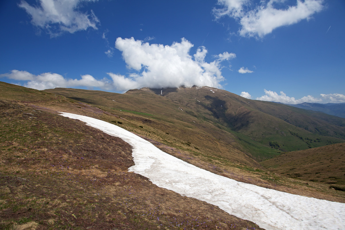
Arbinje valley and Kopren (May 2022 re-visit)
Temperamental spring weather of Stara Planina is a challenge, only I managed to visit this area and Kopren properly in my third attempt.

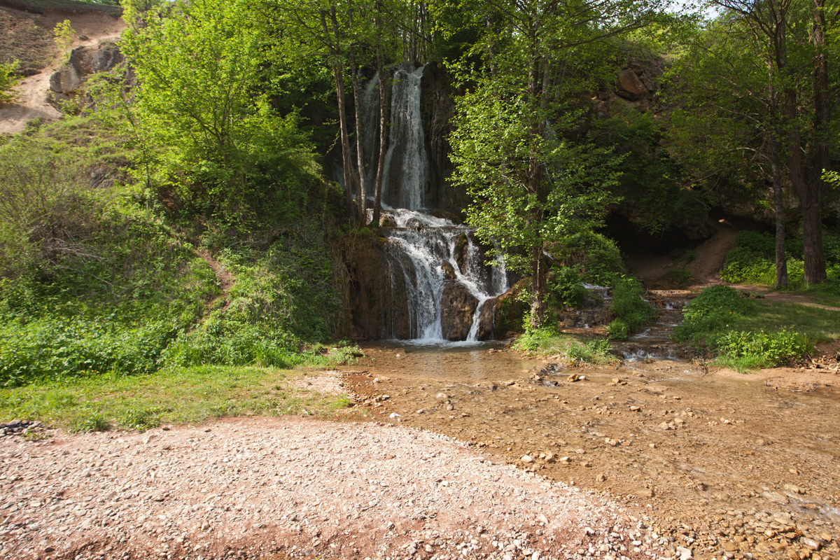
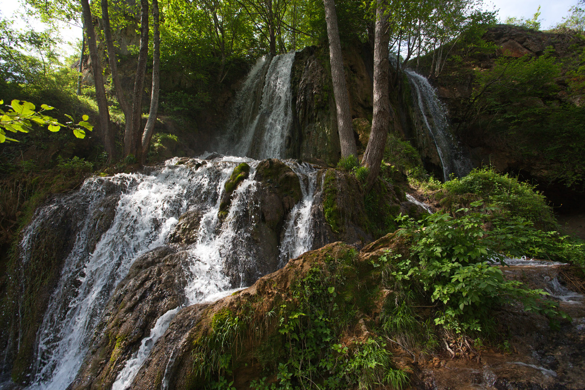
Tri Kladenca waterfall (VR)
Tucked away in densely forested gorge under the Tri Čuke peaks, the waterfall is fed by water from the Kopren plateau. Tri Kladenca means "three springs", and these are actually three ponds on the plateau above. I climbed my way out of the gorge, levelling off at the Kopren plateau where the springs were still mostly buried in snow. Heading southeast the trail slowly ascends, ending with the Kopren peak at the farther end of the plateau.

Kopren peak 1963m (VR)
The cliff is facing east towards Bulgaria. From here I followed the main ridge back northwest along the Serbia-Bulgaria border, the former border patrol trail. It goes over the Tri Čuke peaks, a rugged rocky terrain now riddled with wild juniper which is occasionally a nightmare to go through.
-Panorama-17mm-360s.jpg)
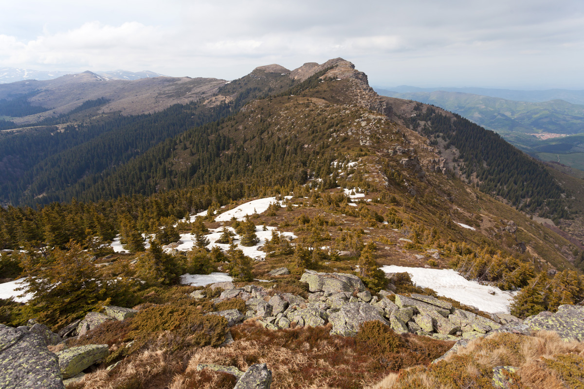
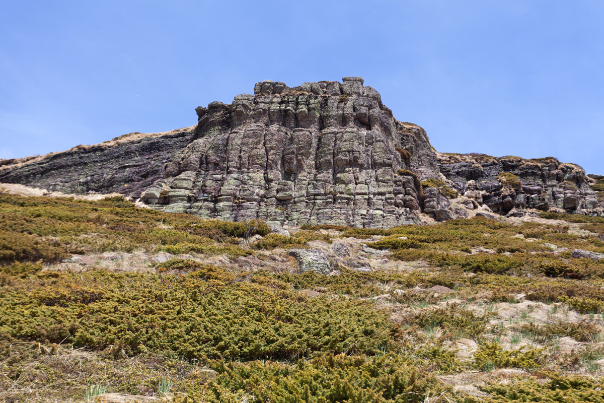
Tri Čuke - southern peak (VR)
This place is so remote that nobody even bothered to give these peaks individual names (Tri Čuke simply means "three crests"). Terrain is rugged and very rocky in these parts, at least compared to the rest of Stara Planina.
-Panorama-17mm-360s.jpg)
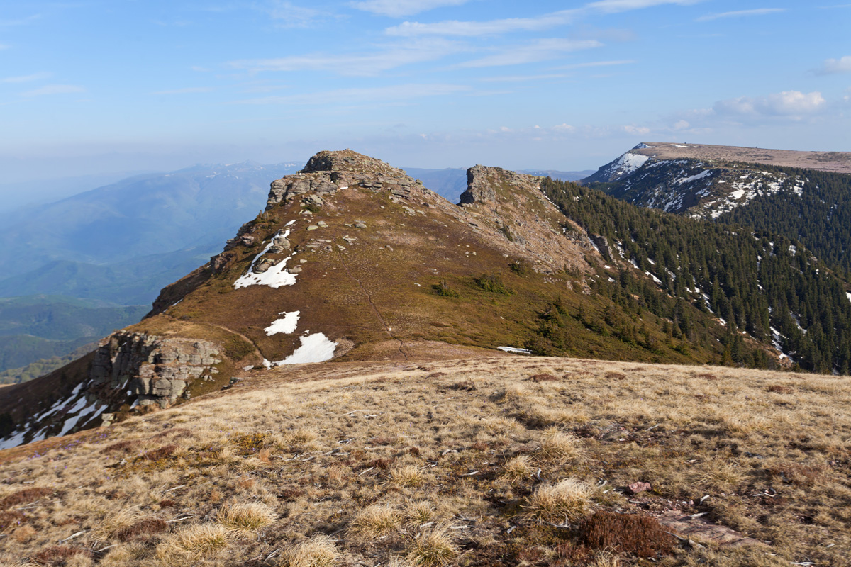
Tri Čuke - northern peak (VR)
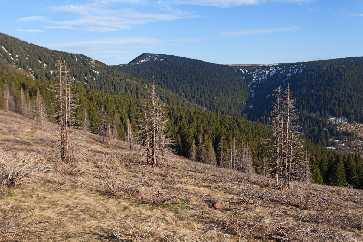
Terrain becomes more gentle north of this peak. on a saddle below I turned southwest and begun my descent. The trail went amidst countless skeletons of burned down juniper, the aftermath of the great fire of 2019. The last part of the descent is the trickiest, having to pick up a deceptive and faded trail that steeply leads back down to Dojkinačka Reka.

Kopren waterfall viewpoint (VR)
The trail towards Kopren waterfall begins from the Jelovica valley; the first option is to follow the Dabidžin Potok directly upstream following a grown-in and intermittent path that gains more than 500m over a very rough terrain. This trail reveals hidden waterfalls and other secrets of this covert place, but was too much of a risk with the limited time I had. Therefore I chose the second option - climb towards the Kaca Kamen WWII monument and along the Serbia-Bulgaria border over the Vrtanj peak. This former border patrol trail ascends the southern face of the Kopren plateau; on a small saddle at 1750m the waterfall becomes visible and I forked off towards it, shooting this panorama at an exposed ridge. The terrain is riddled with wild juniper and the advance was slow.

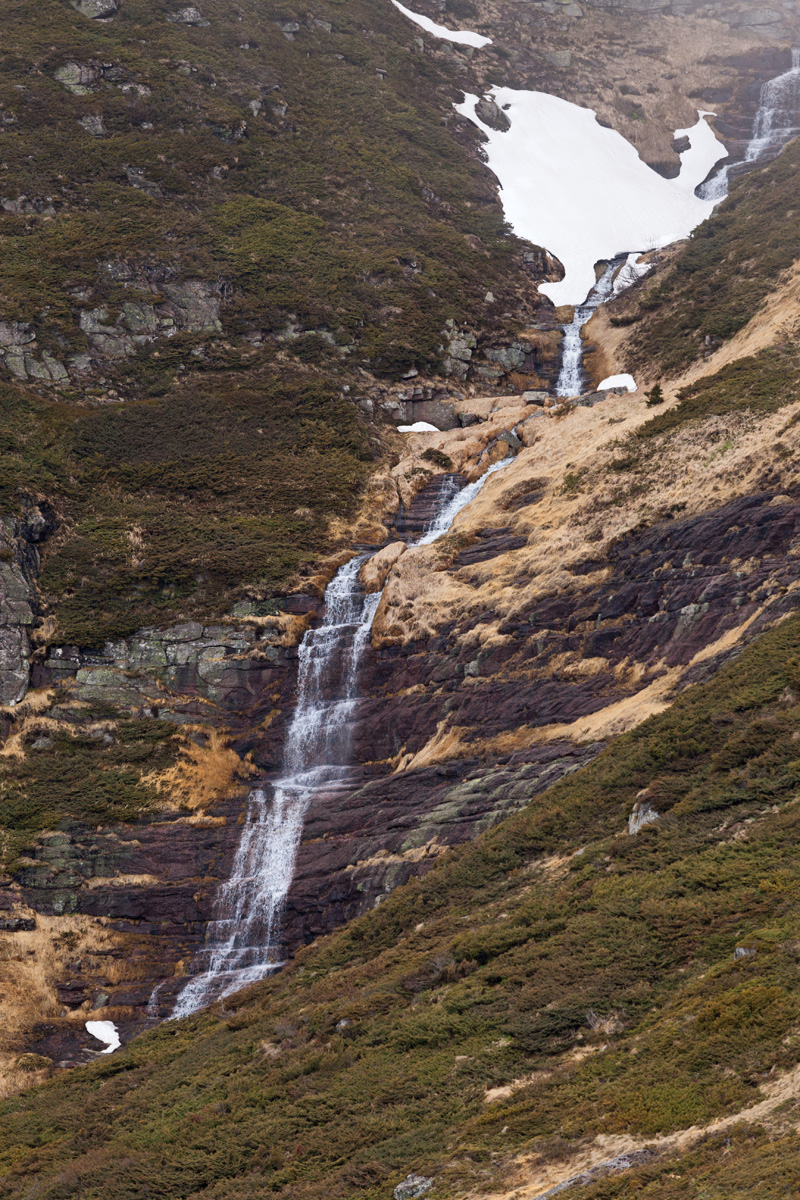
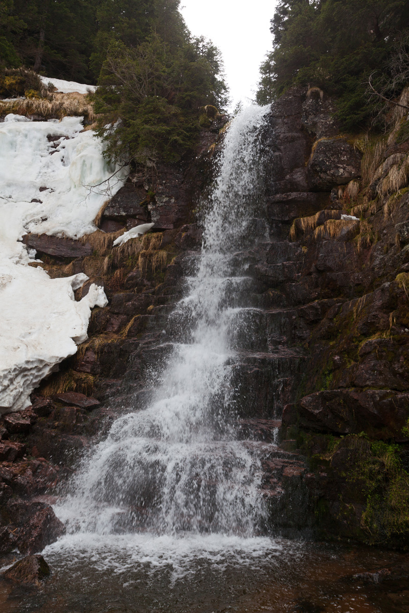
Kopren waterfall - lower cascade (VR)
Unofficially the most spectacular waterfall in Serbia, this is only its bottom cascade. With 103m of total height it is second only to Kaluđerski Skokovi, although much steeper. Beginning at around 1820m and cascading down all the way to roughly 1700m, it is at the highest altitude of all waterfalls in Serbia.

Kopren waterfall - upper cascade (VR)
Around midpoint of the whole waterfall. Many smaller cascades are above this cliff, still partly buried in snow.