Durmitor, June 2021.
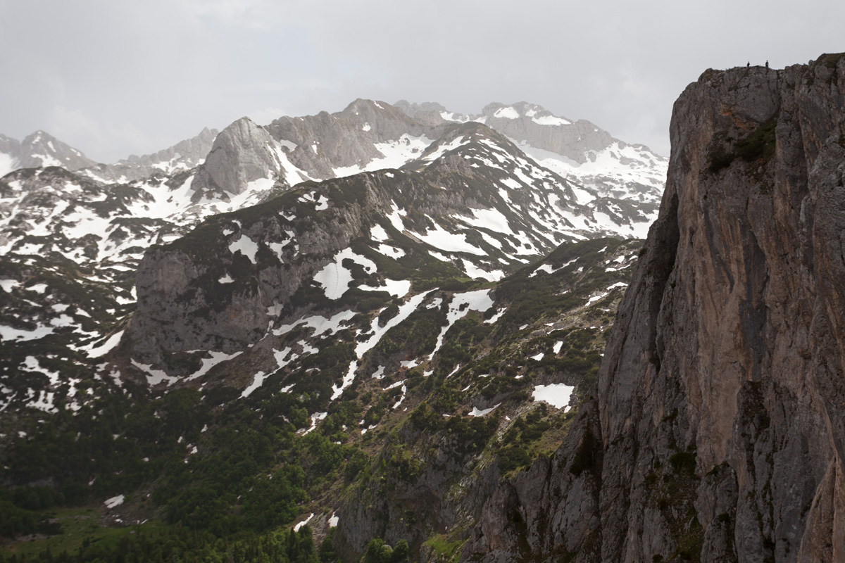
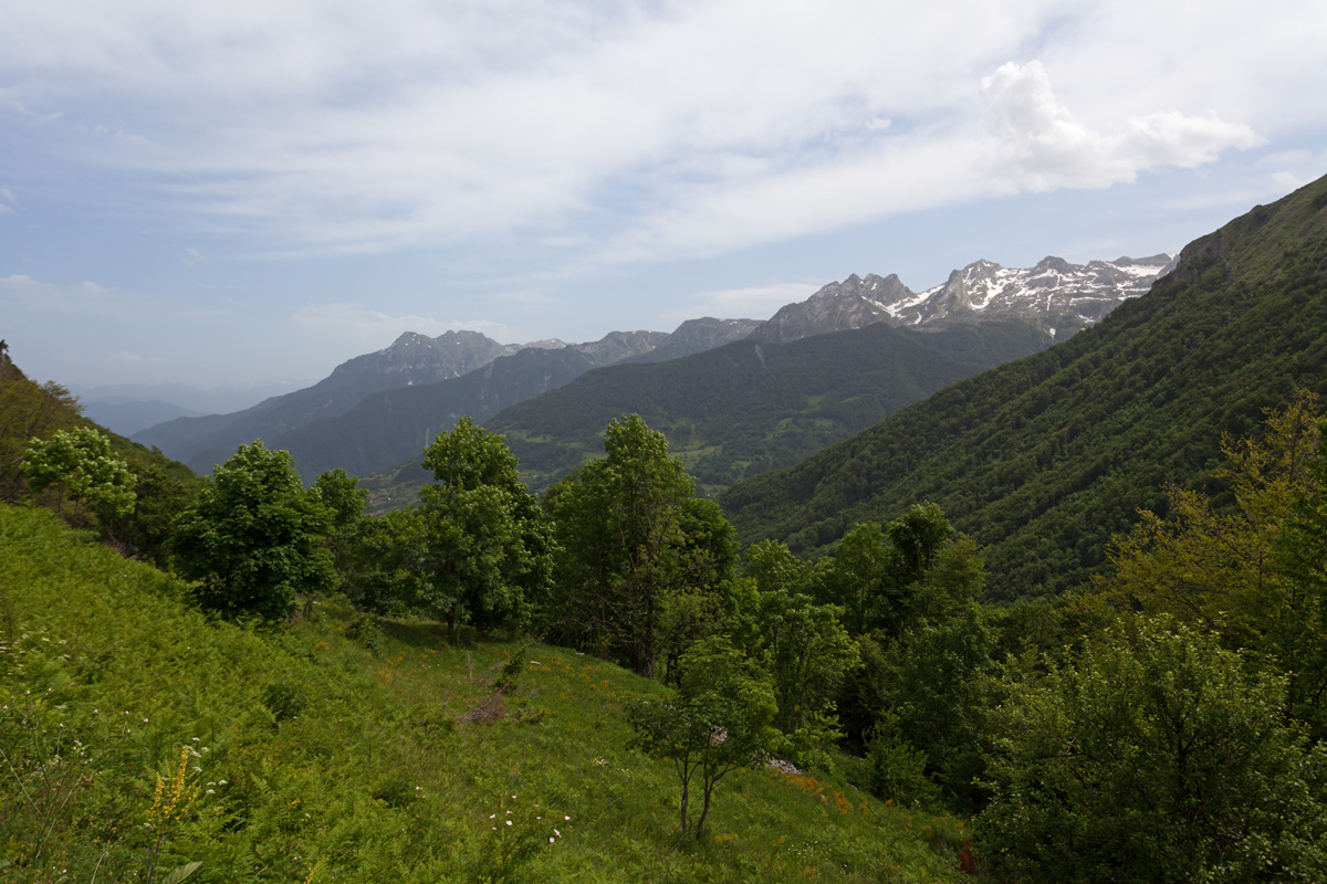
This is without a doubt one of the most impressive mountains in the Dinaric Alps, fully belonging to Montenegro. It's highest peak Bobotov Kuk is at 2523m and is considered the roof of Montenegro, although three Prokletije peaks on the border with Albania are higher by just a few meters. But since these peaks are on the state border in a very remote area, Bobotov Kuk can rightfully claim the title of the highest in Montenegro.
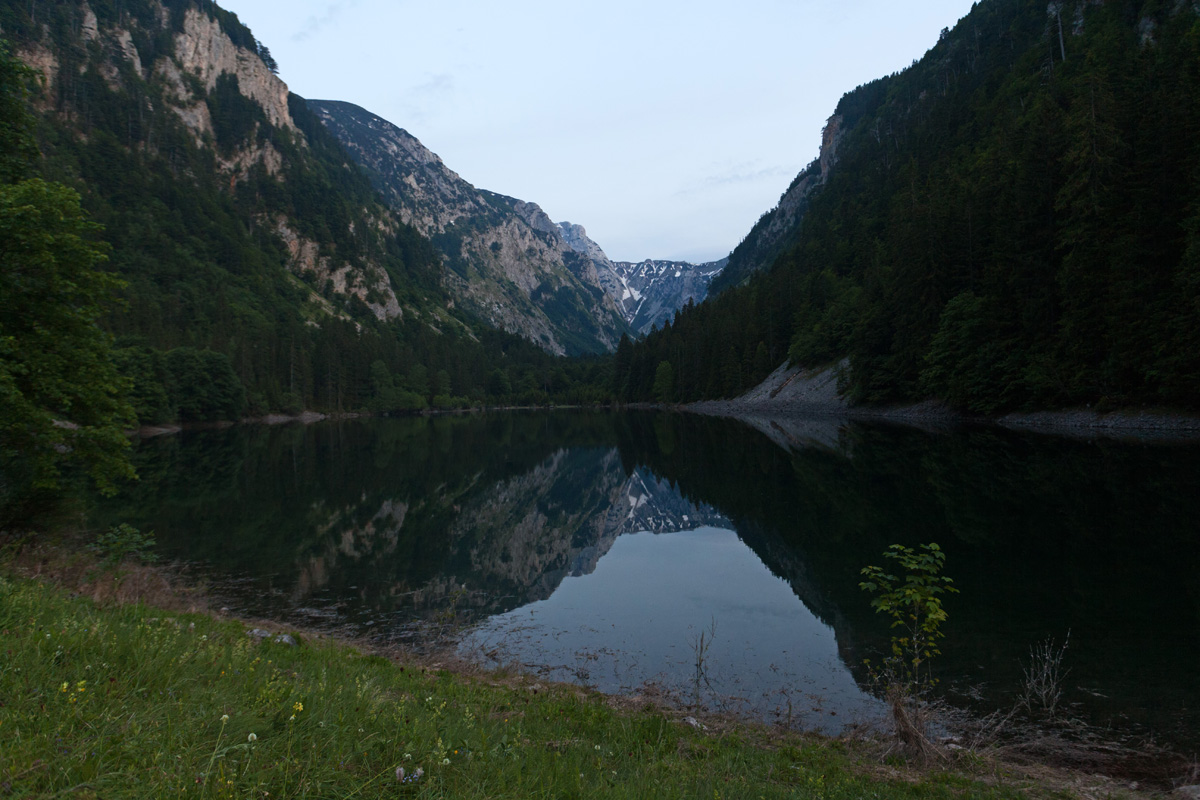
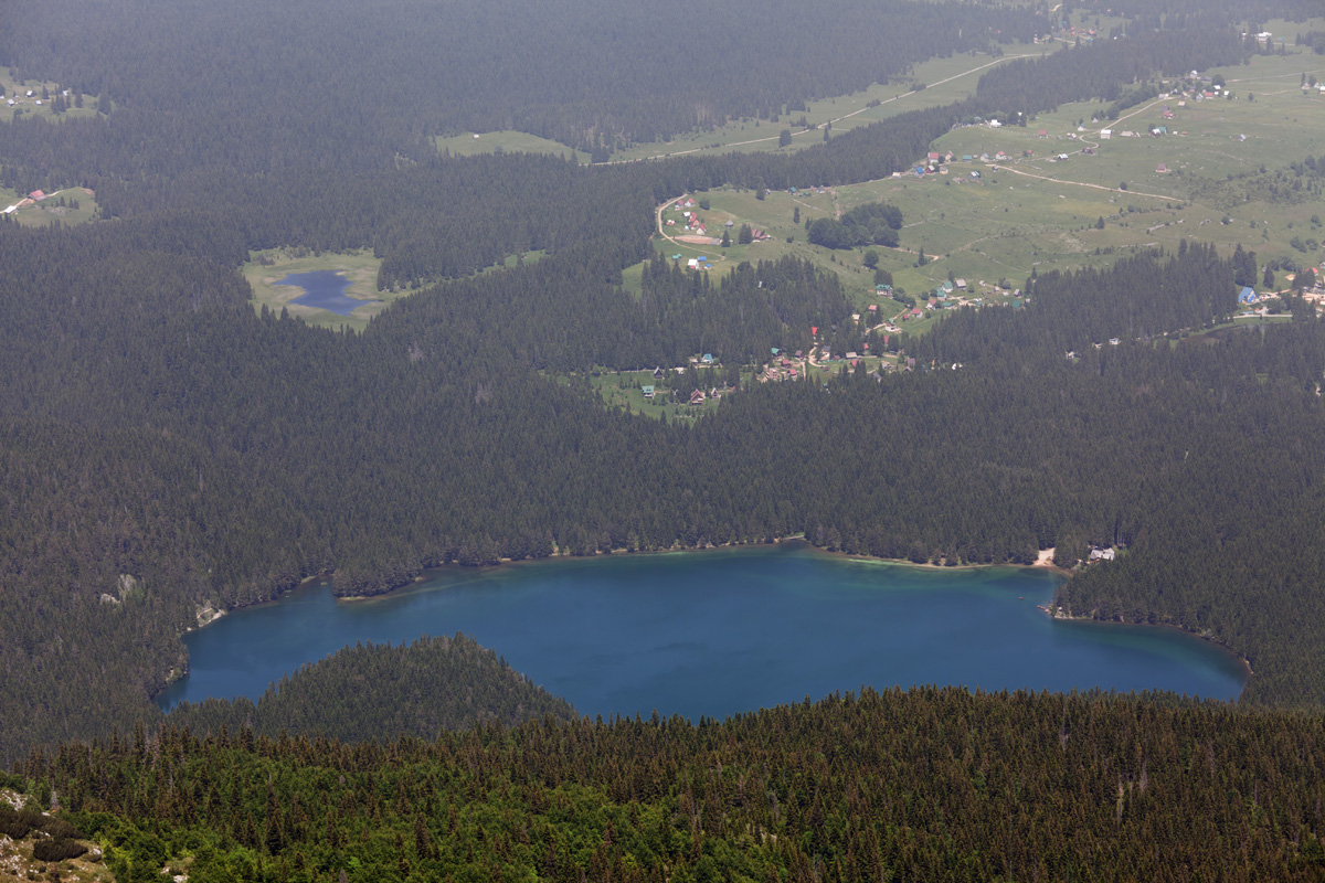
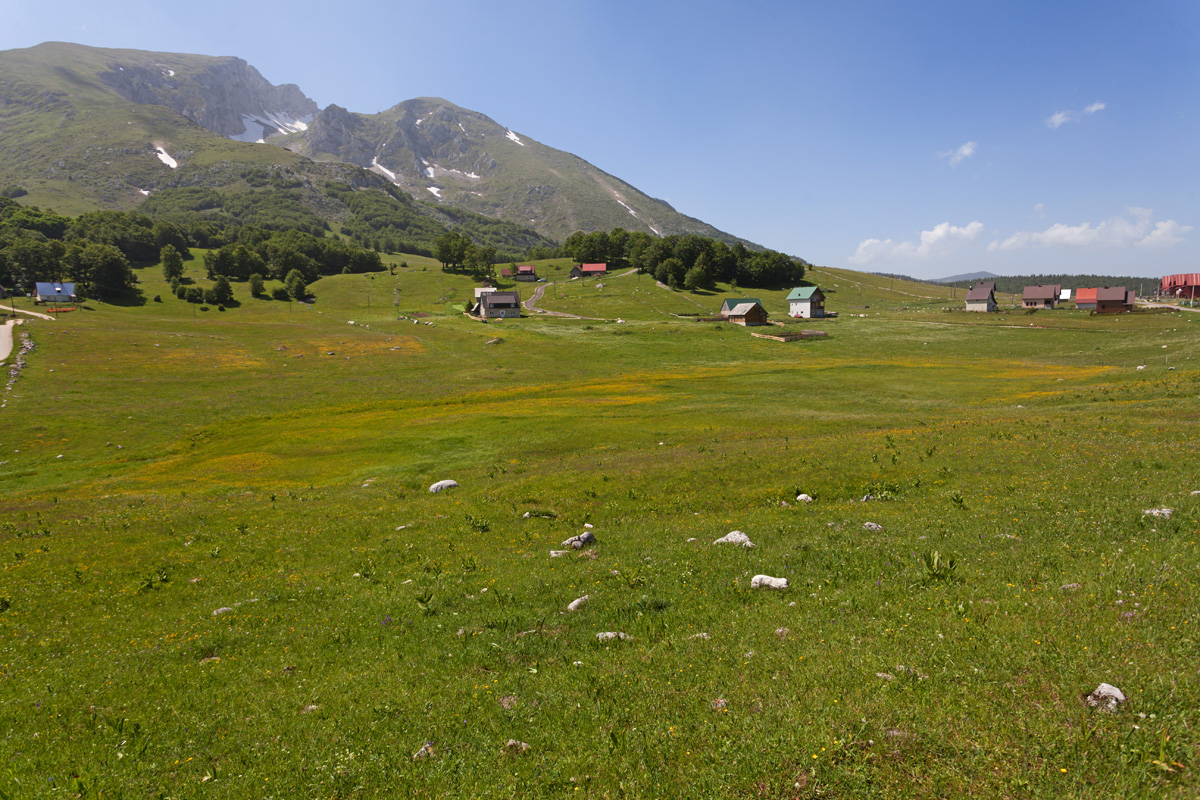
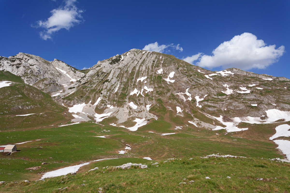
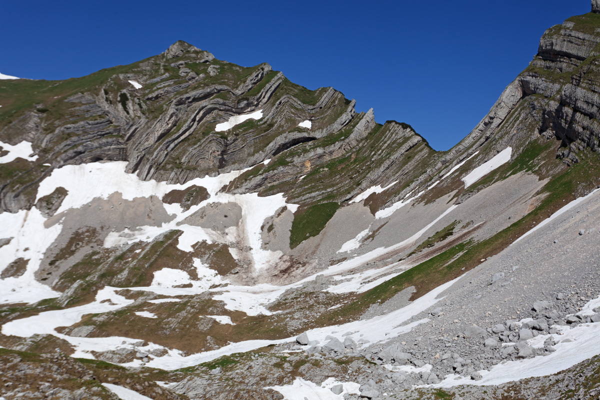
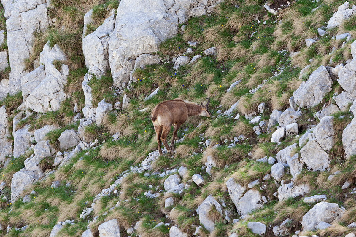
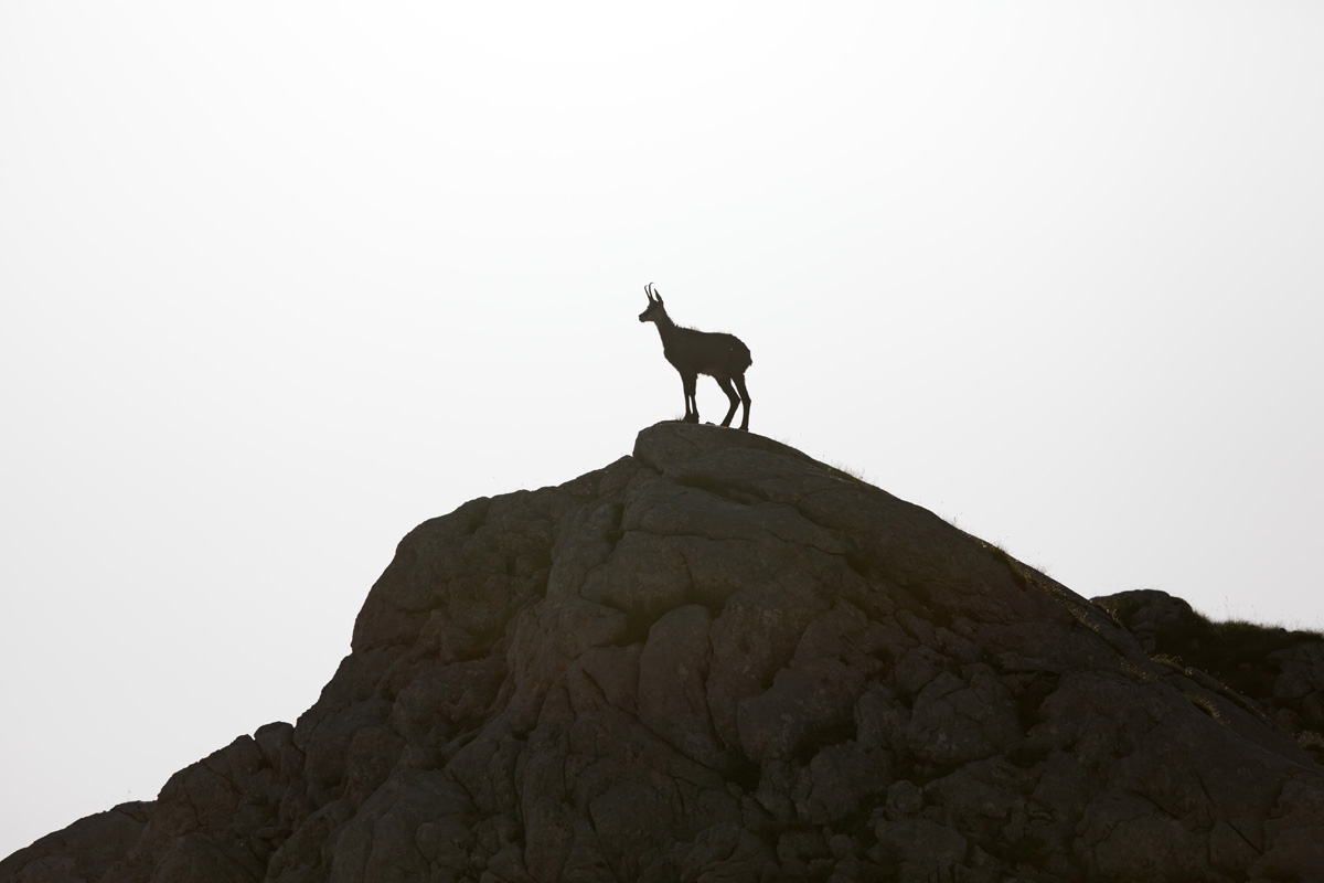
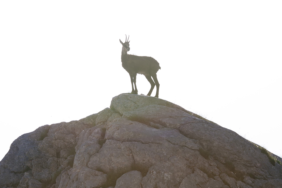
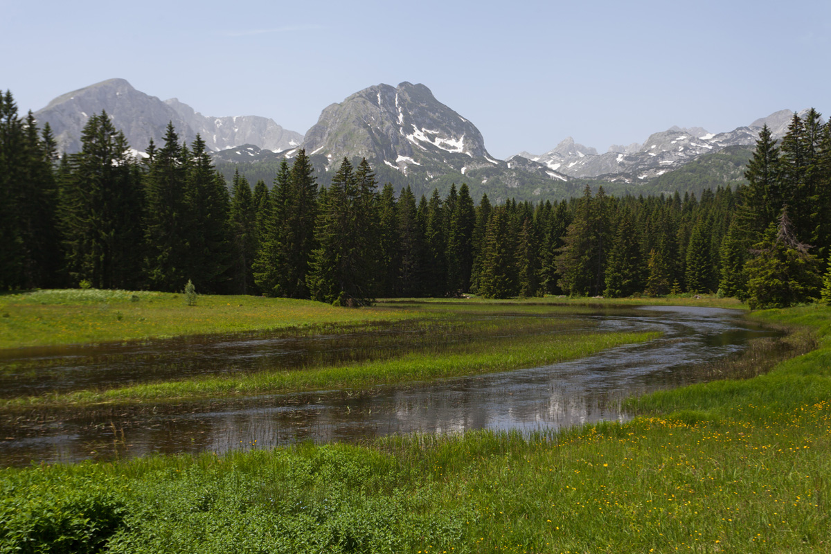
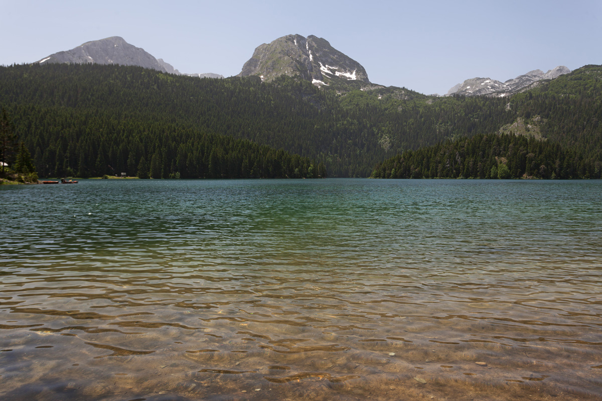
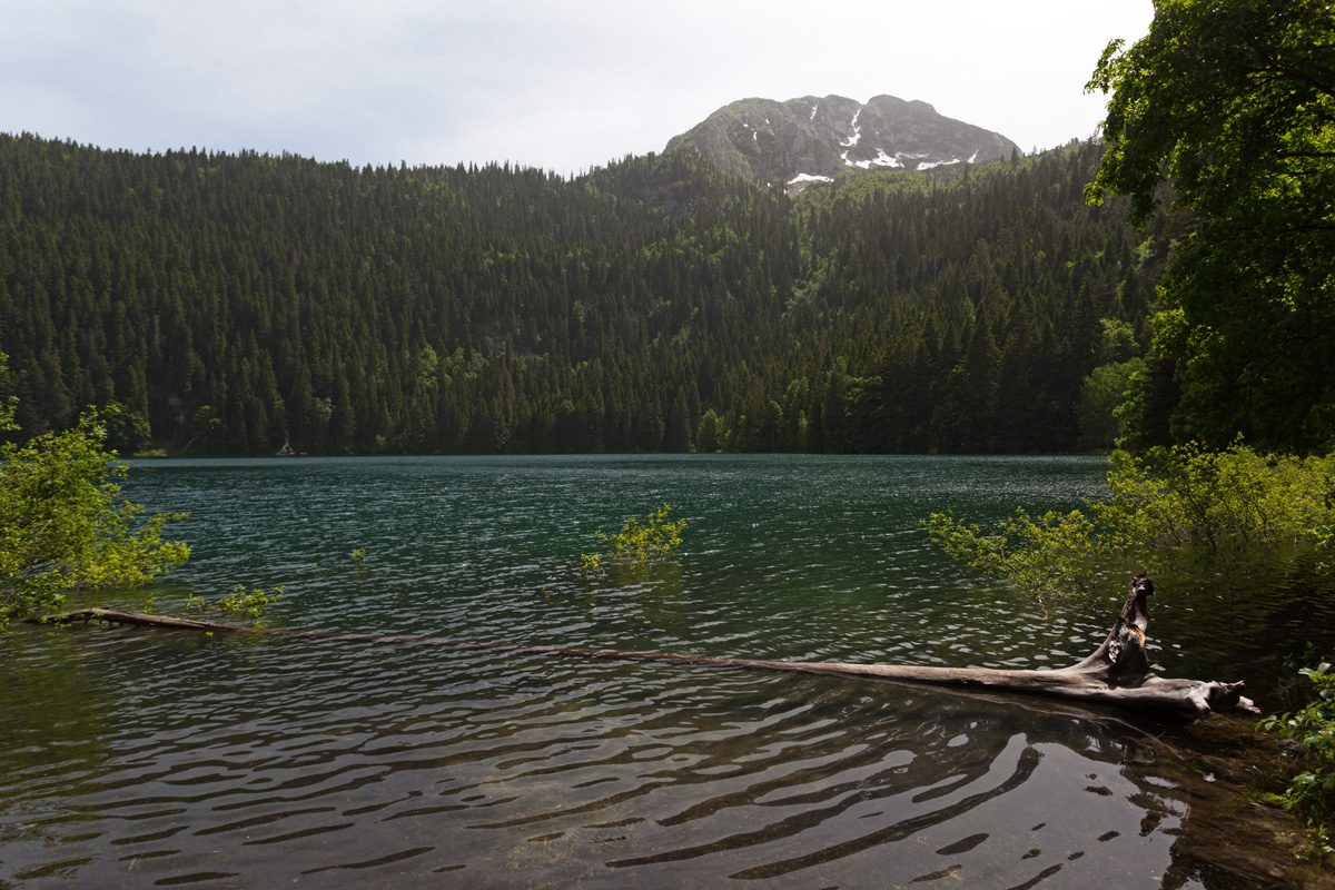
Durmitor shares all features with the rest of the highest Dinaric Alps mountains: the rugged karst terrain, glacial valleys with spectacular lakes, ancient forests with diverse flora and fauna. But there's much more than that - Durmitor massif is star-shaped and very prominent, opening up for a myriad of hiking trails to countless iconic and distinctive peaks. The foundation of the massif is the Jezerska Visoravan (The Lake Plateau), bordered by deep canyons on all sides. The largest lake is Crno Jezero (The Black Lake) on the northern side, where village of Žabljak is also situated.
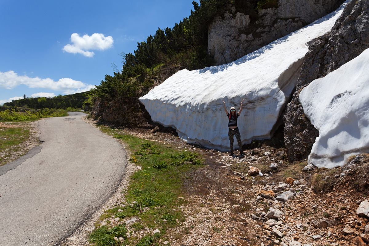
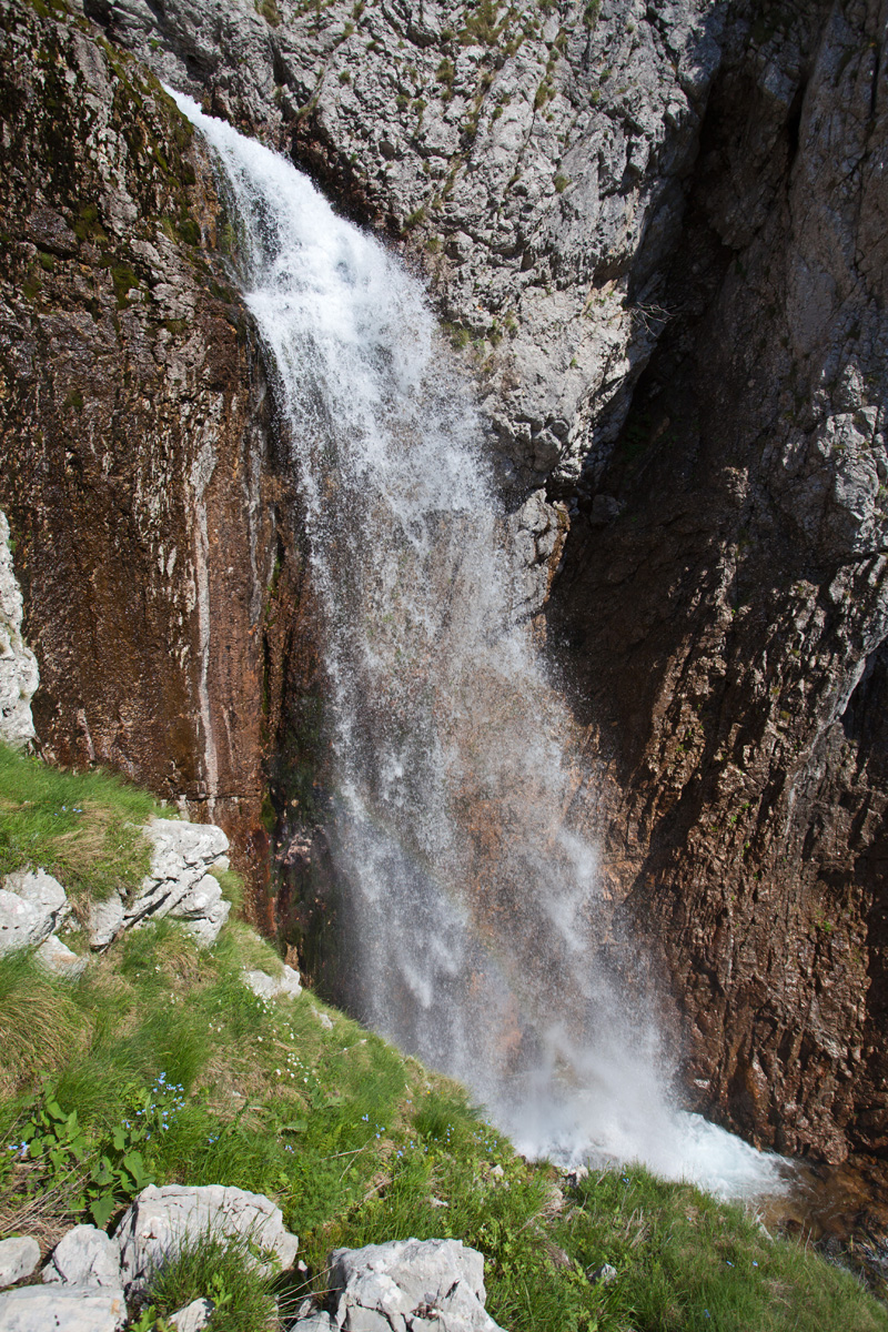
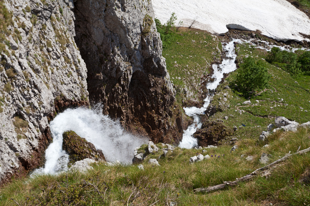
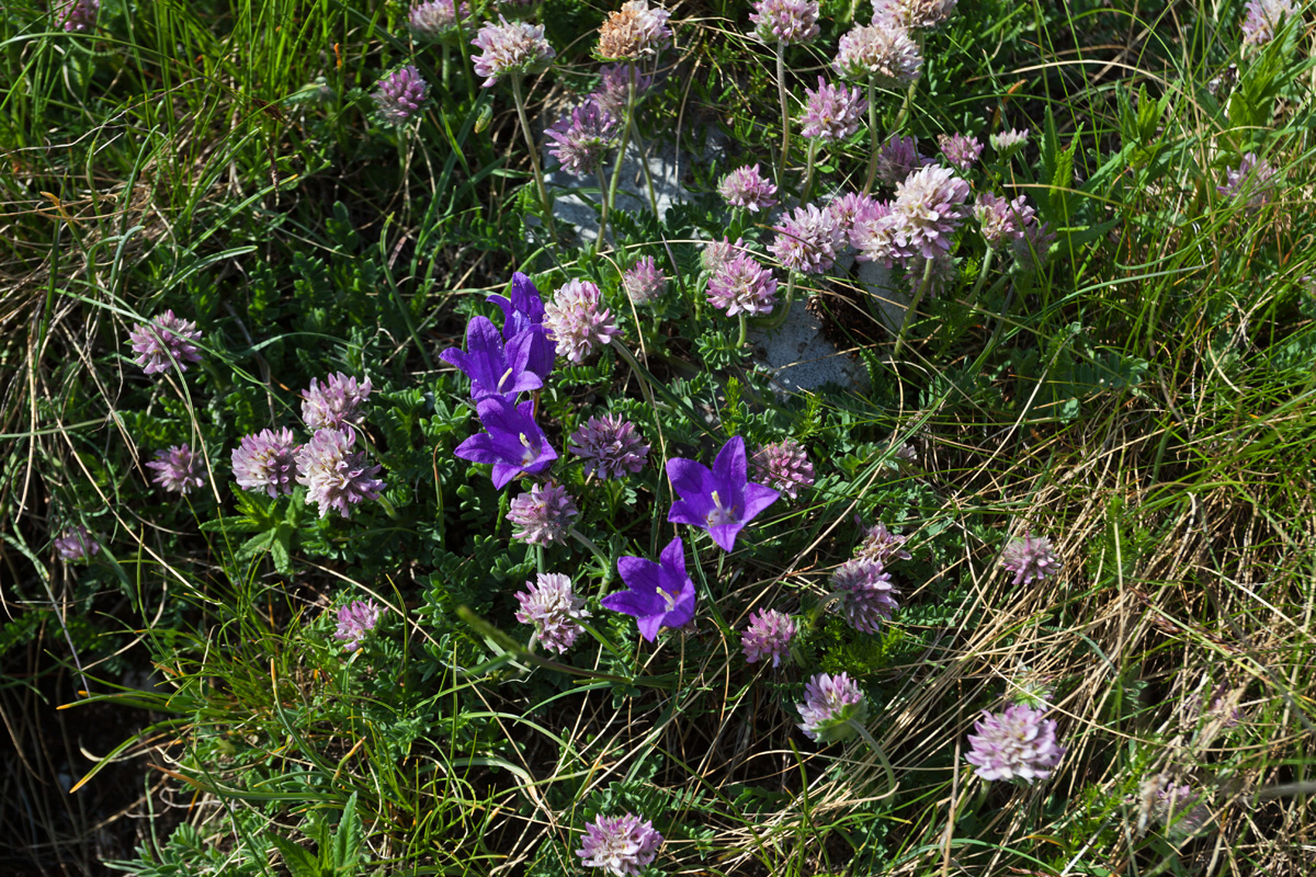
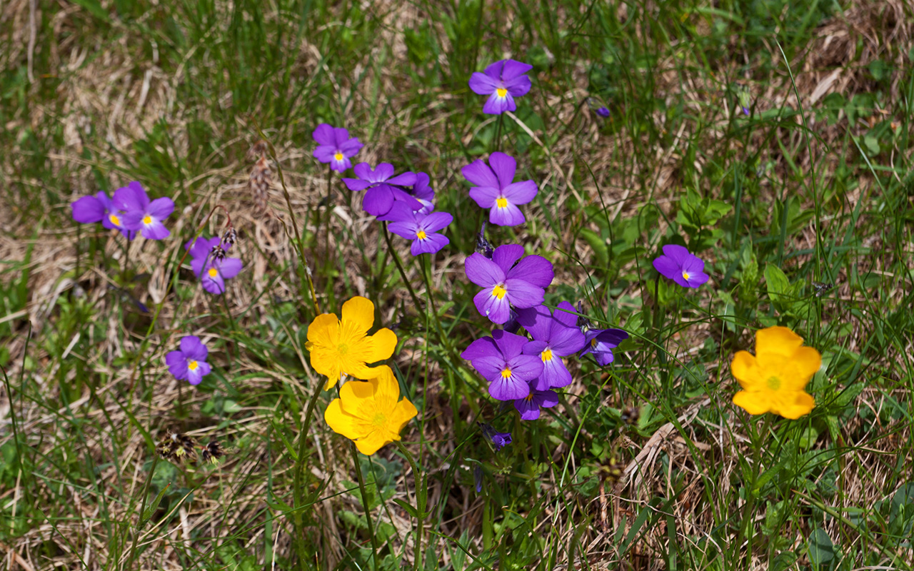
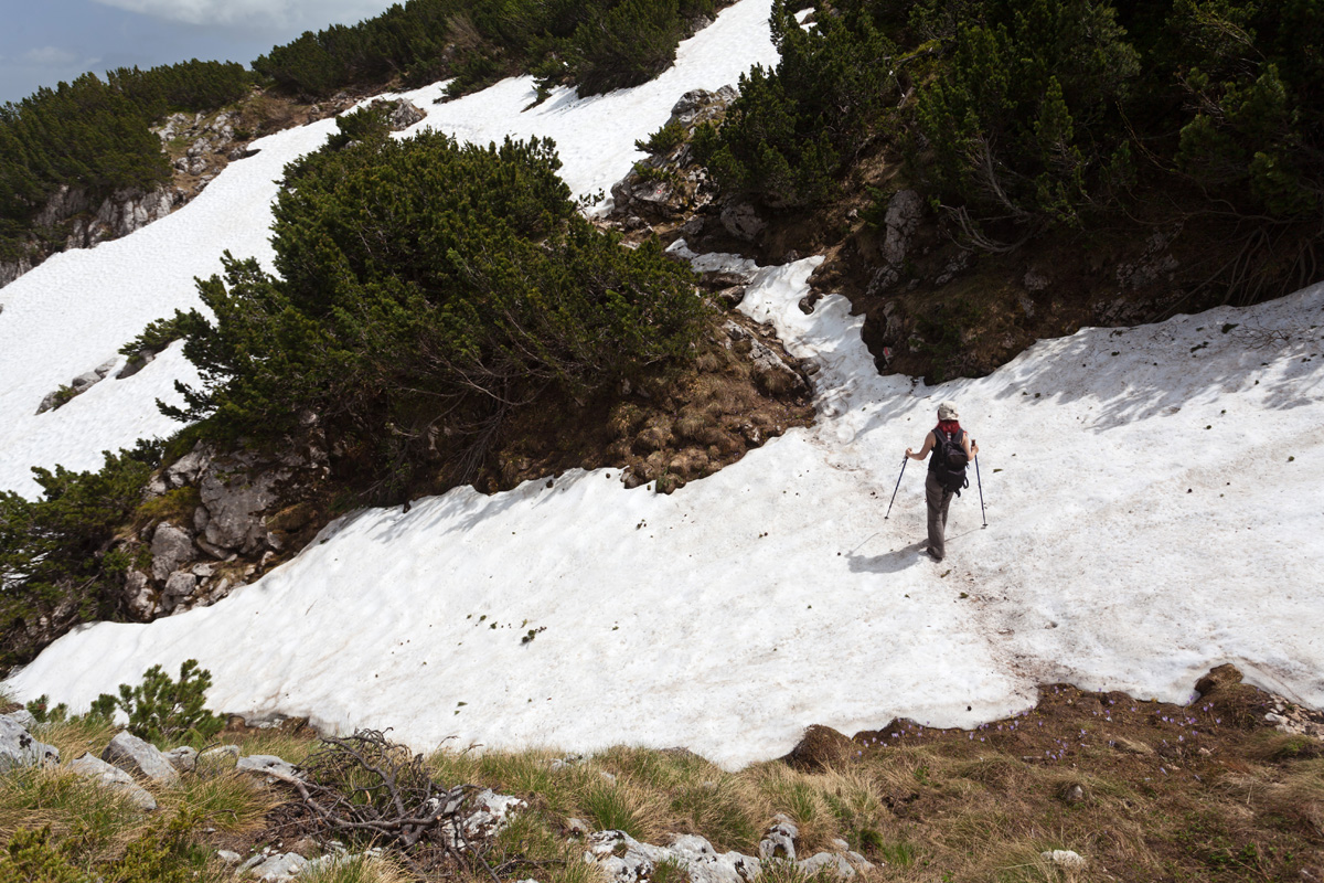
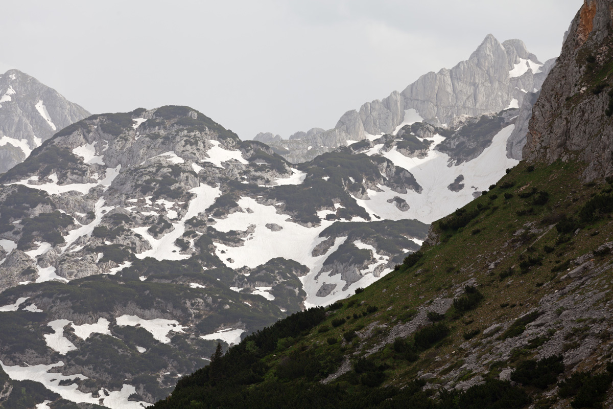
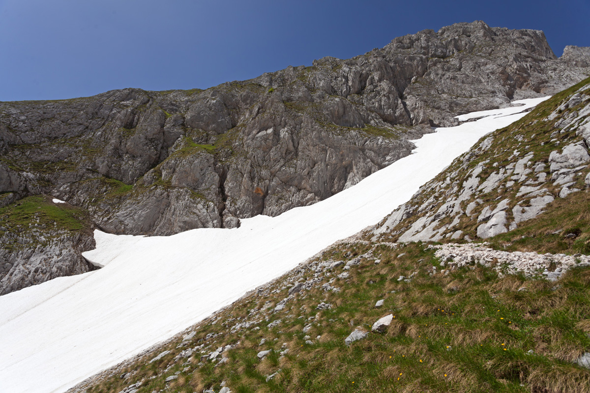
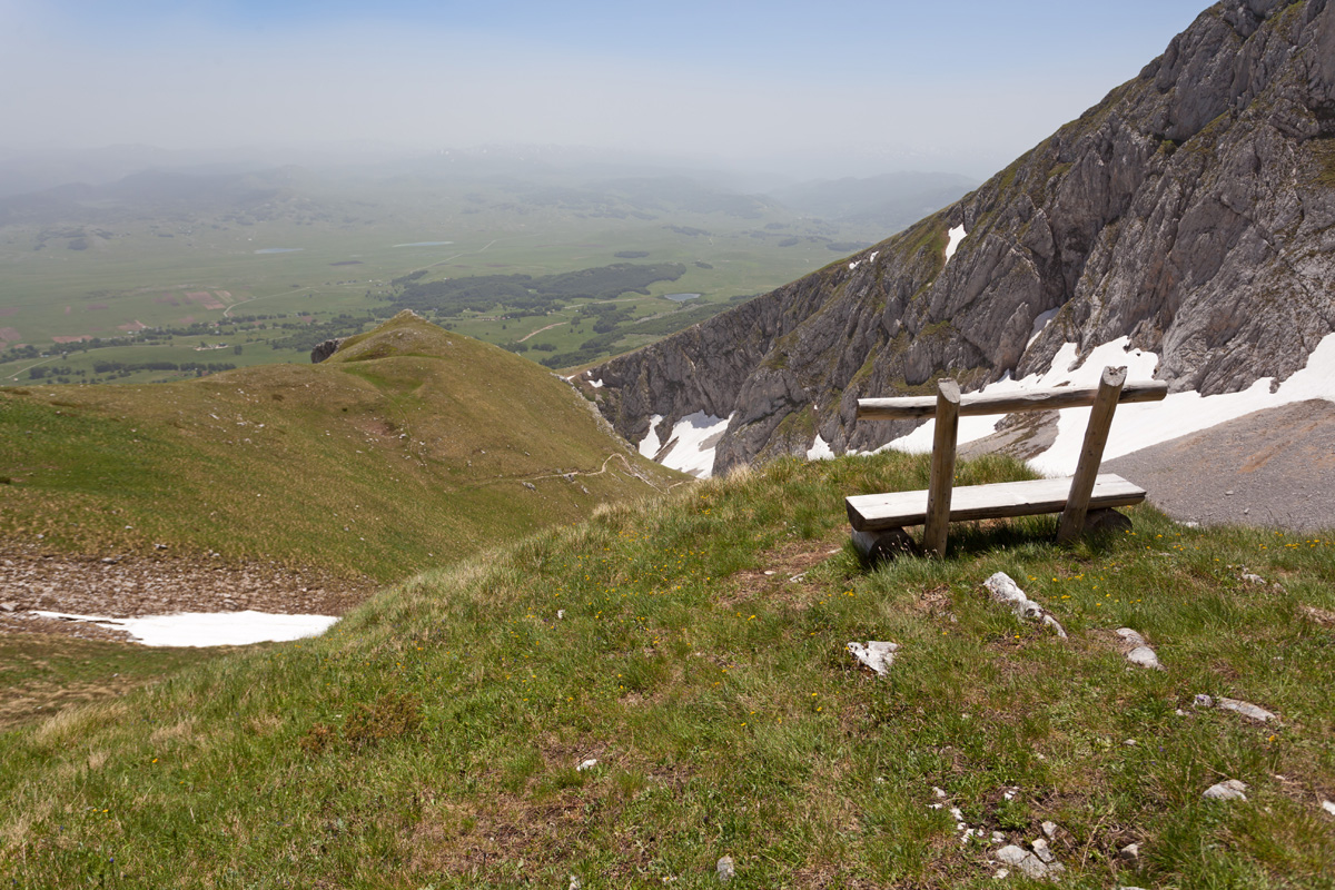
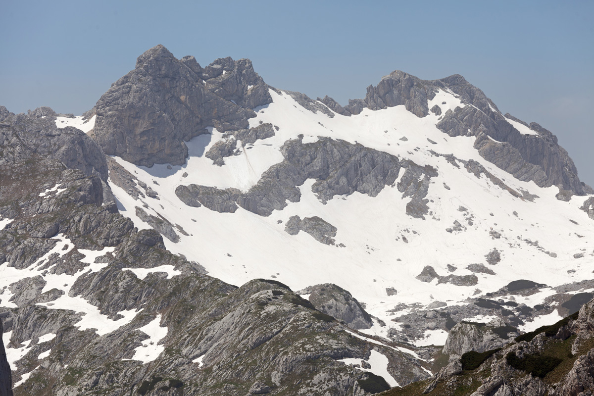
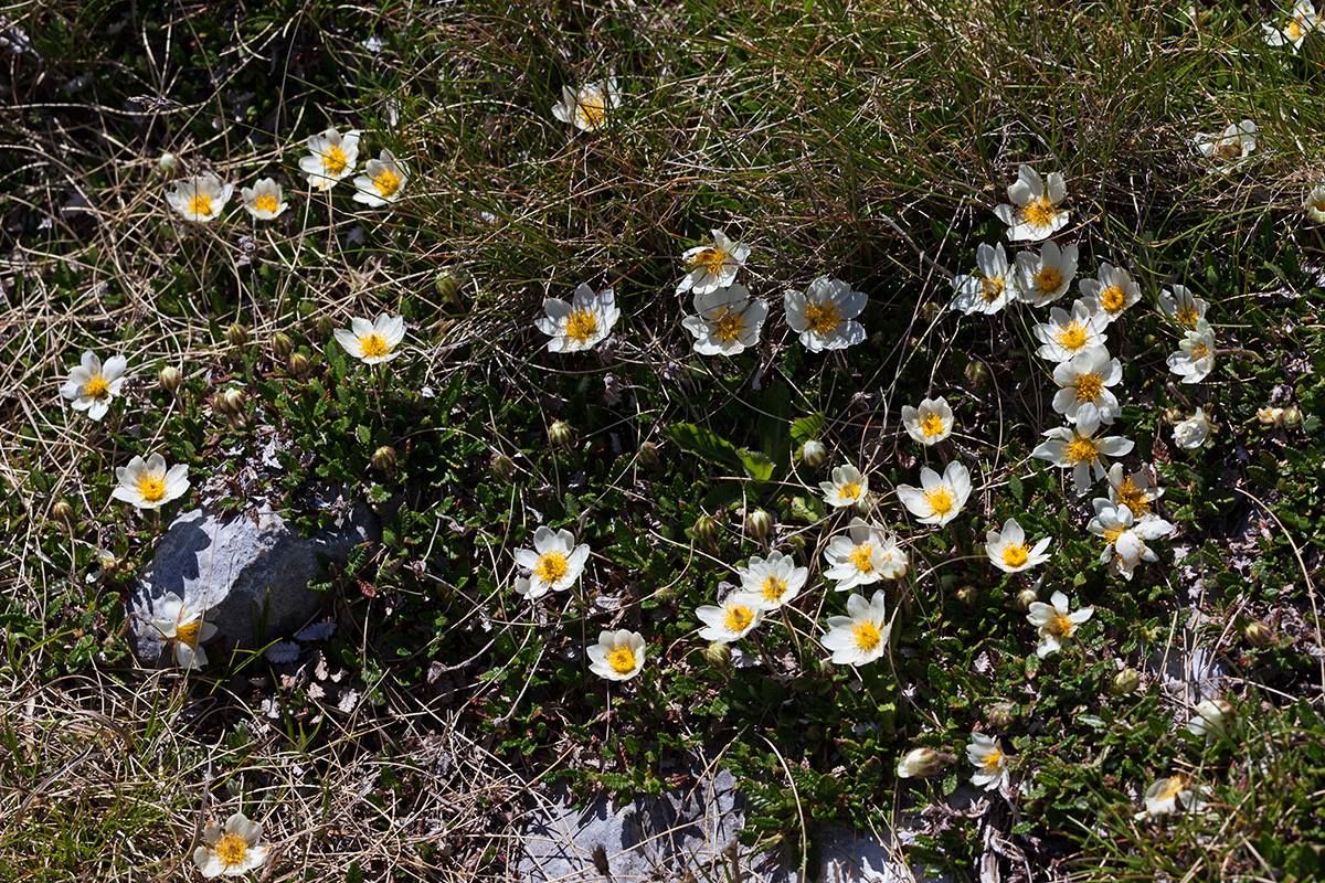
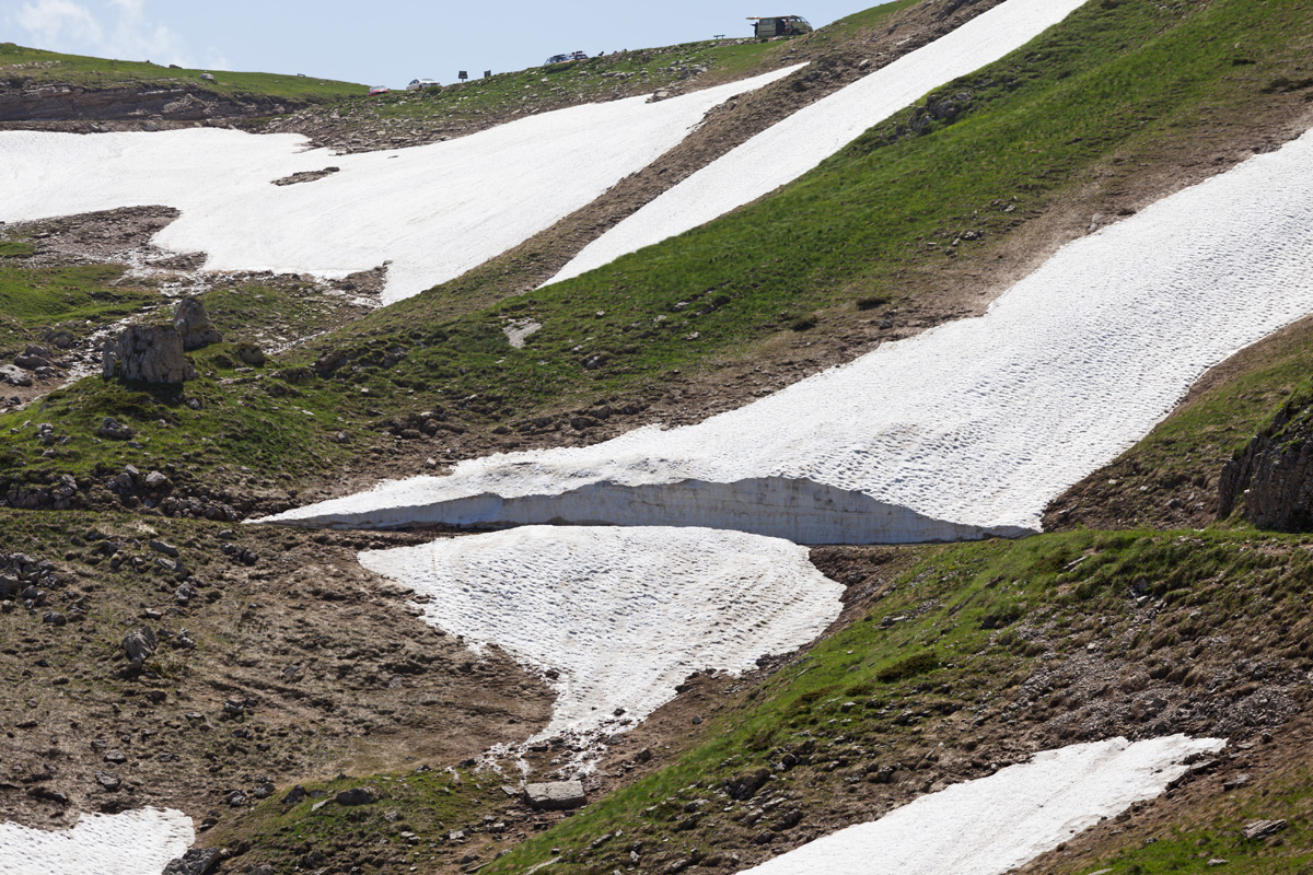
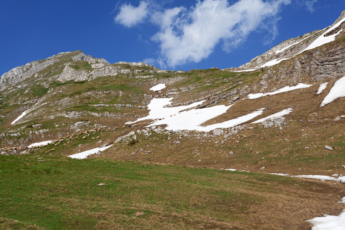
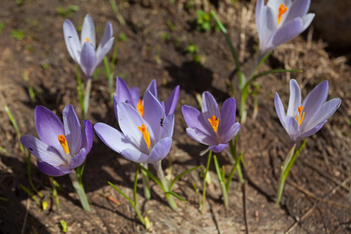
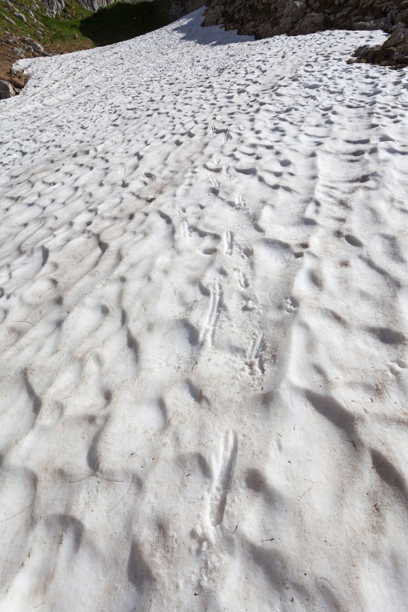
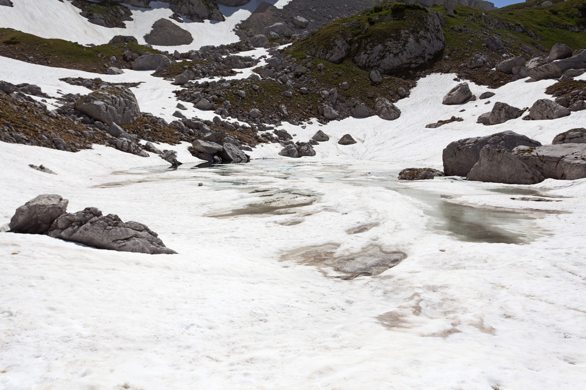
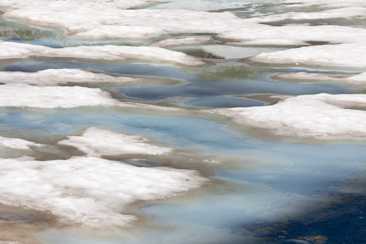
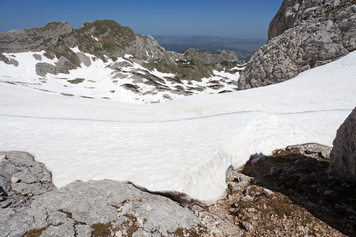
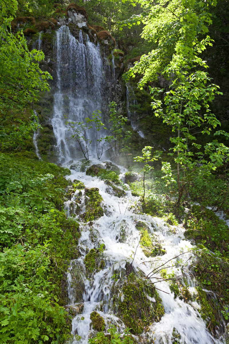
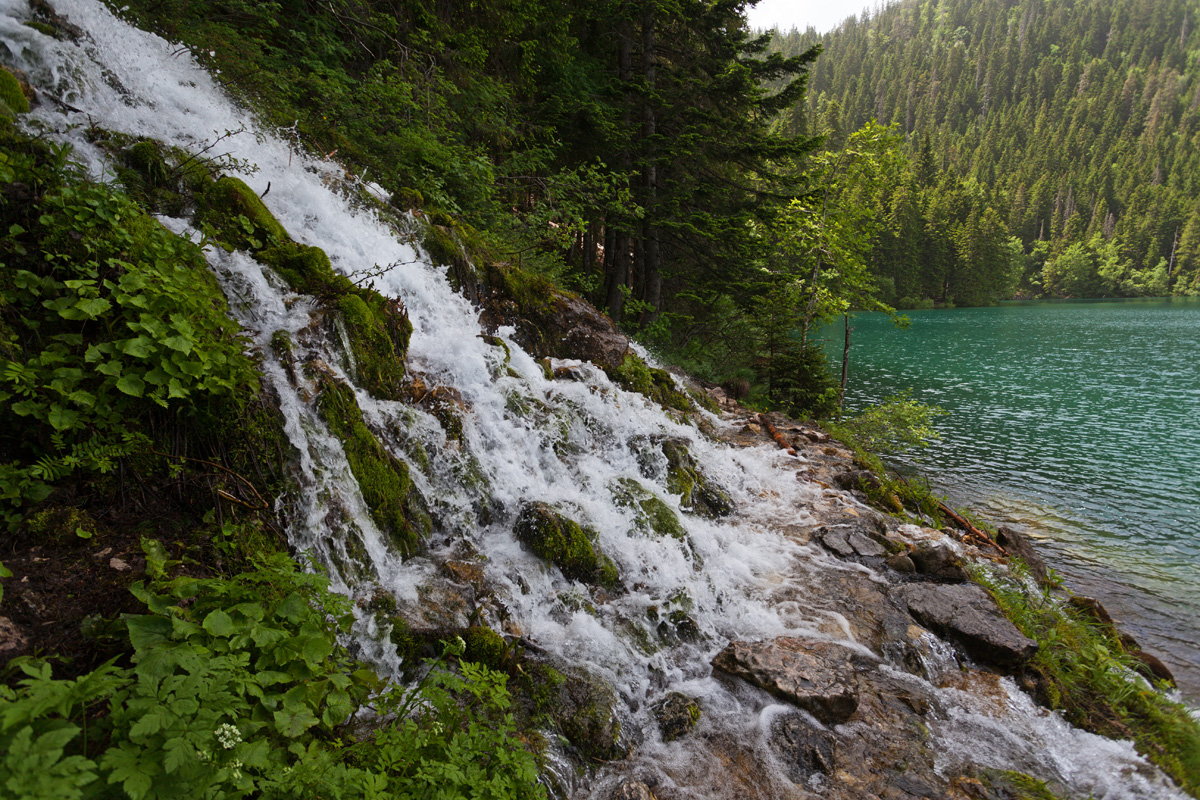
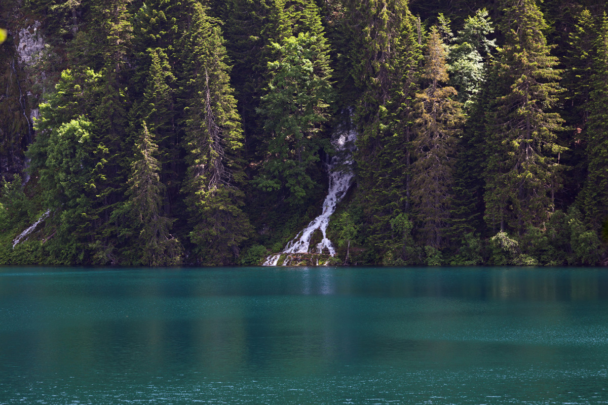
The year of 2021 will remain in memory by its record high amount of snow that widely persisted as late as mid-summer. Most of the technically demanding trails were cut off until mid June to July, for climbers not technically equipped for winter conditions. My ascent to Bobotov Kuk involved multiple exhausting detours around the snow slabs covering dangerously steep slopes. The beauty of the surroundings is surely captivating, but threading in these areas requires skill, preparation and proper equipment. On the other hand all of the lakes were top-full, all streams and waterfalls at full strength. Zeleni Vir pond resembled an Arctic lake, still half-frozen and with crystal clear midnight-blue color of its waters. Couple that with the most colorful June flora, and it makes this one of my most mesmerizing mountaineering tours in Montenegro mountains.
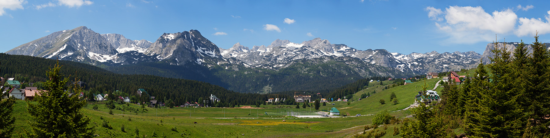
Durmitor from the Žabljak village
The most recognizable landscape of Durmitor.
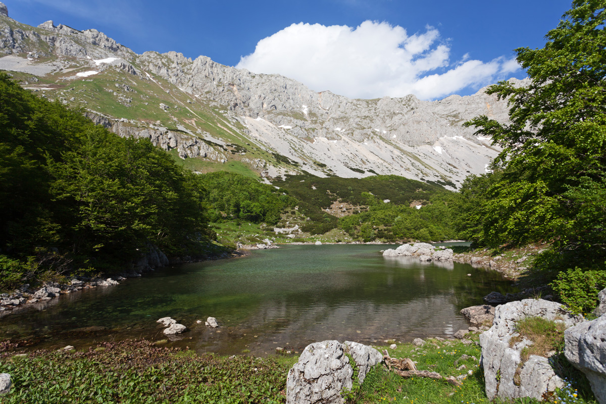

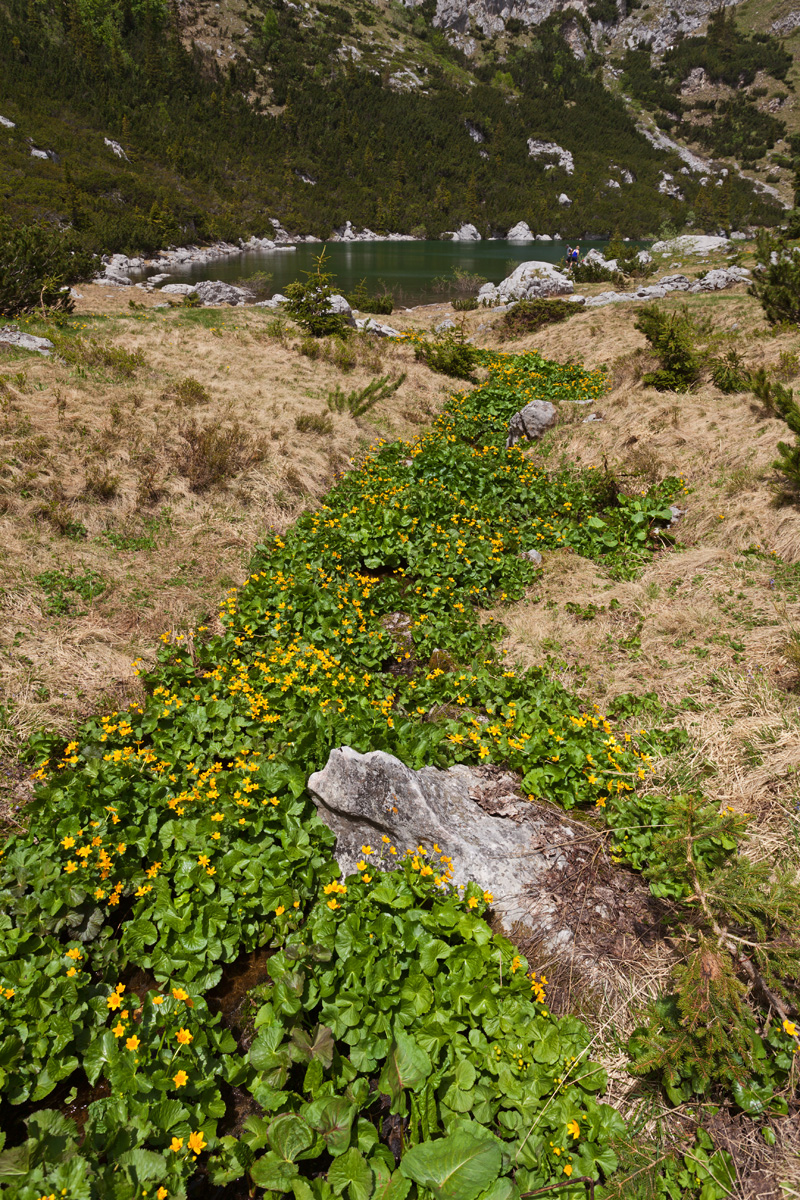
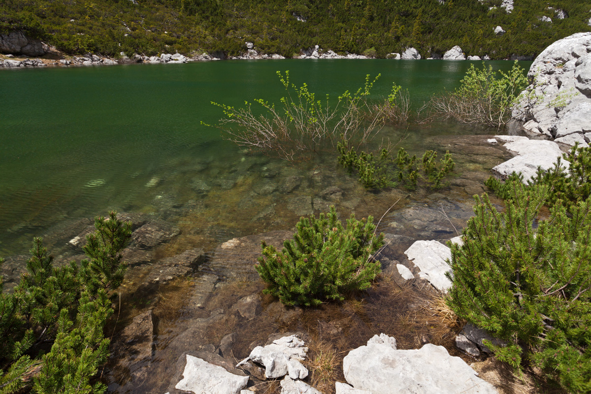
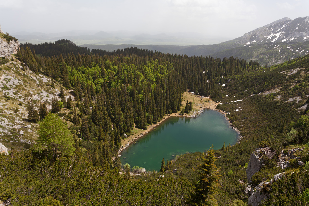
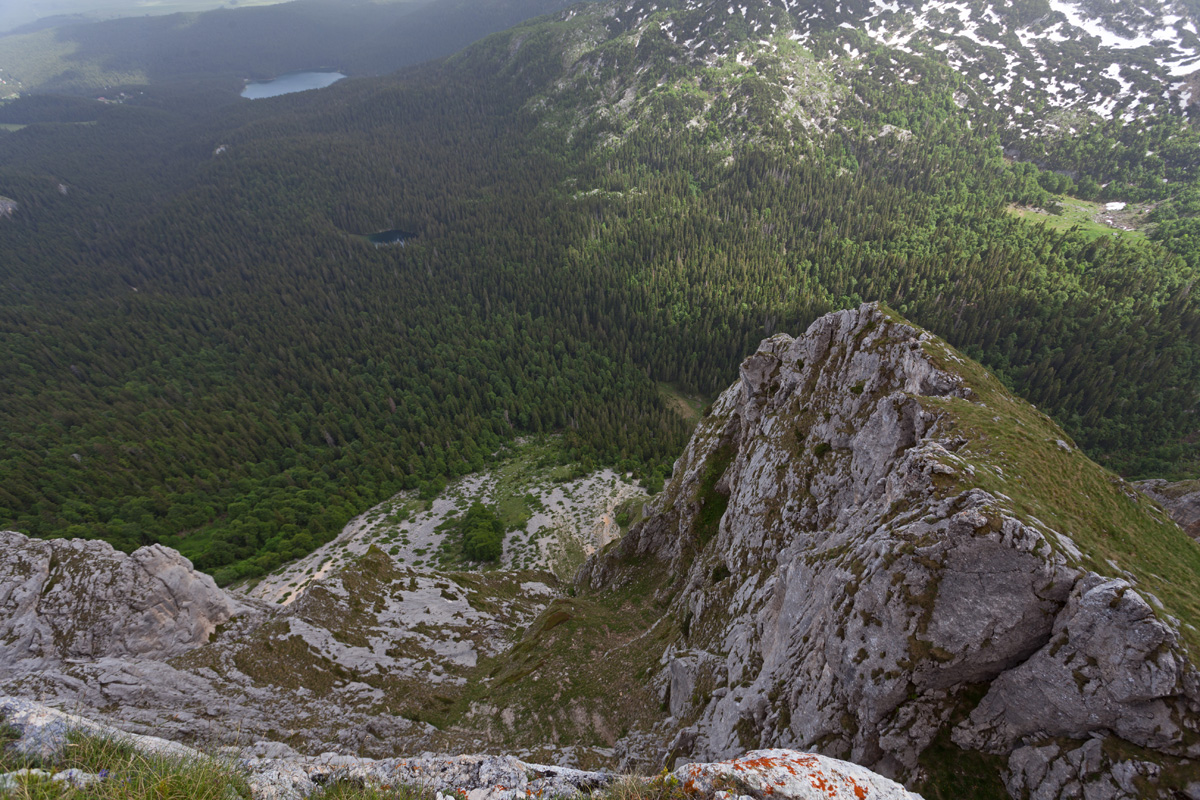
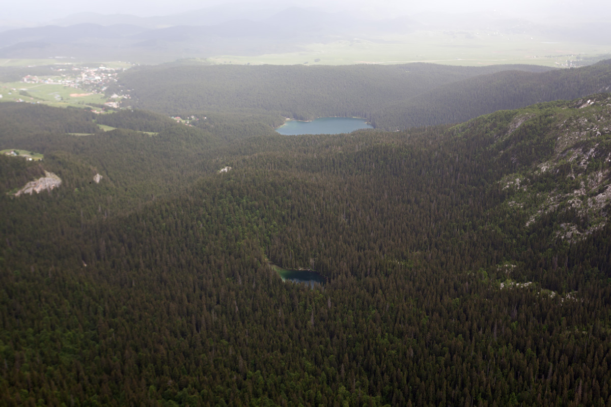
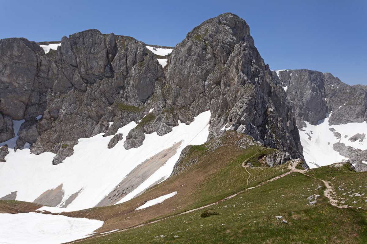
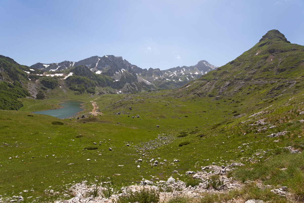
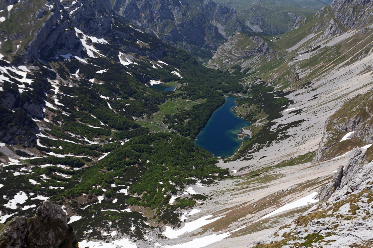
Veliko Škrčko Jezero (The Greater Škrka Lake) (VR)
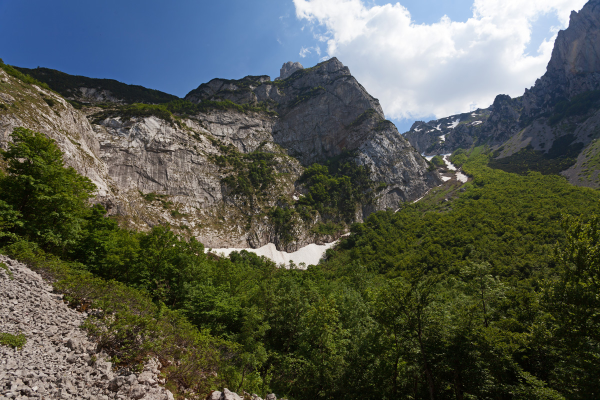
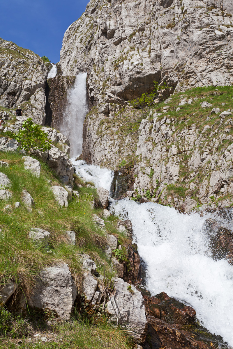
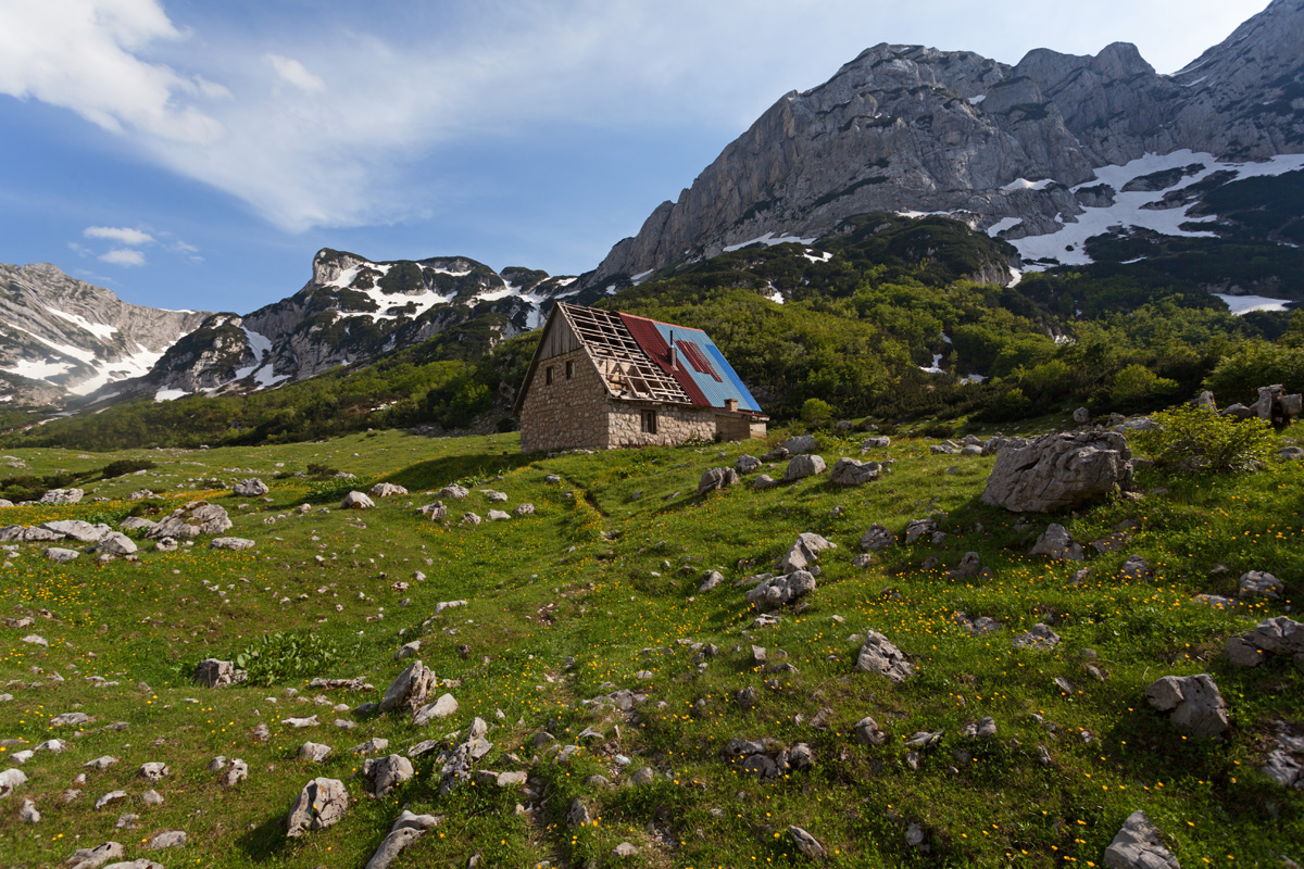
Škrka is the most covert glacial cirque on Durmitor. To get here you need to traverse the long and rugged valley of Sušica river, which is a natural continuation of the Skakalo stream. This trail climbs over the cirque moraine, along the Skakalo waterfalls. Alternative trails cross the high mountain passes. Near the lake is the old mountain hut at 1723m, struggling to survive this wilderness. The Lesser Škrka Lake is close by.

Škrka valley (VR)
Škrka cirque from the central meadow.


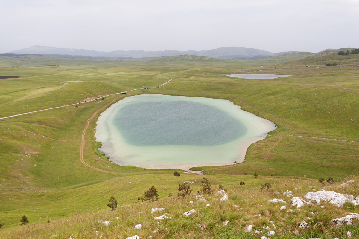
Jablan Lake (VR)
Glacial lake at the foothills of Crvena Greda peak.

Crvena Greda viewpoint (R)
Crvena Greda ridge has an exposed cliff facing Žabljak, Crno Jezero and Zminje Jezero.

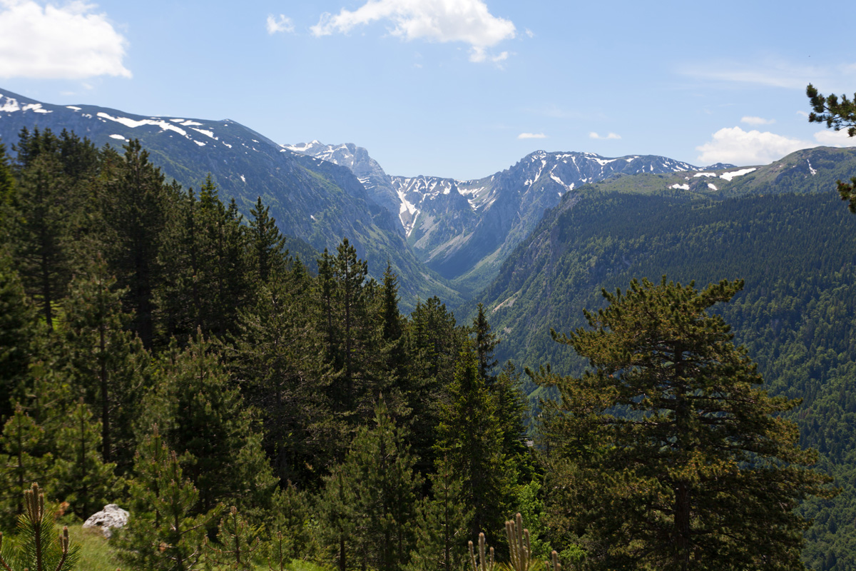
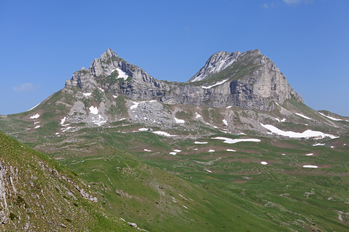
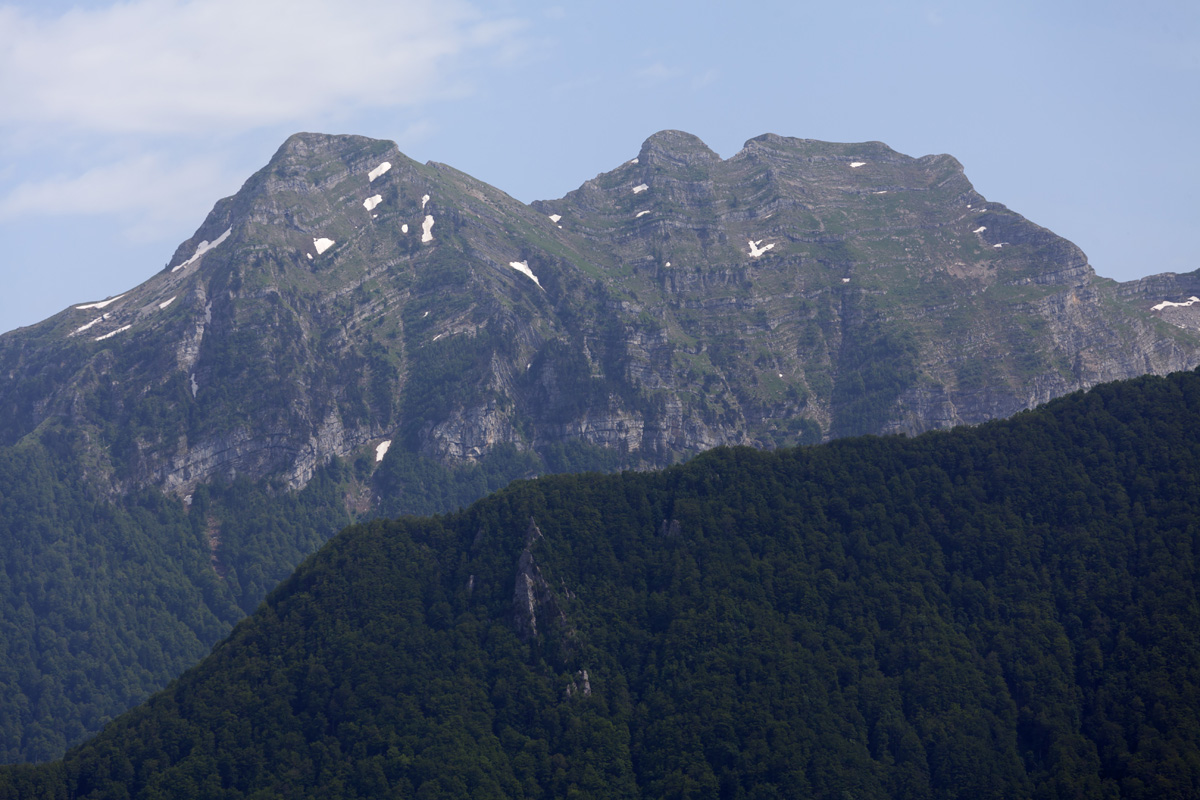
Savin Kuk towards Kalica (VR)
Savin Kuk peak is 2313m high, and the easternmost of the highest Durmitor peaks. It overlooks the Kalica valley, and offers great view of the Međed ridge and other prominent peaks of Durmitor.

Savin Kuk towards Crno Jezero (VR)
The best view of Žabljak and Crno Jezero is from Mali Međed (The Small Bear), Savin Kuk being kind of second best.

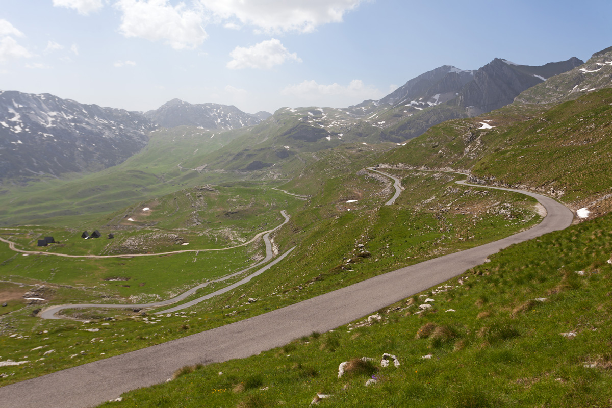
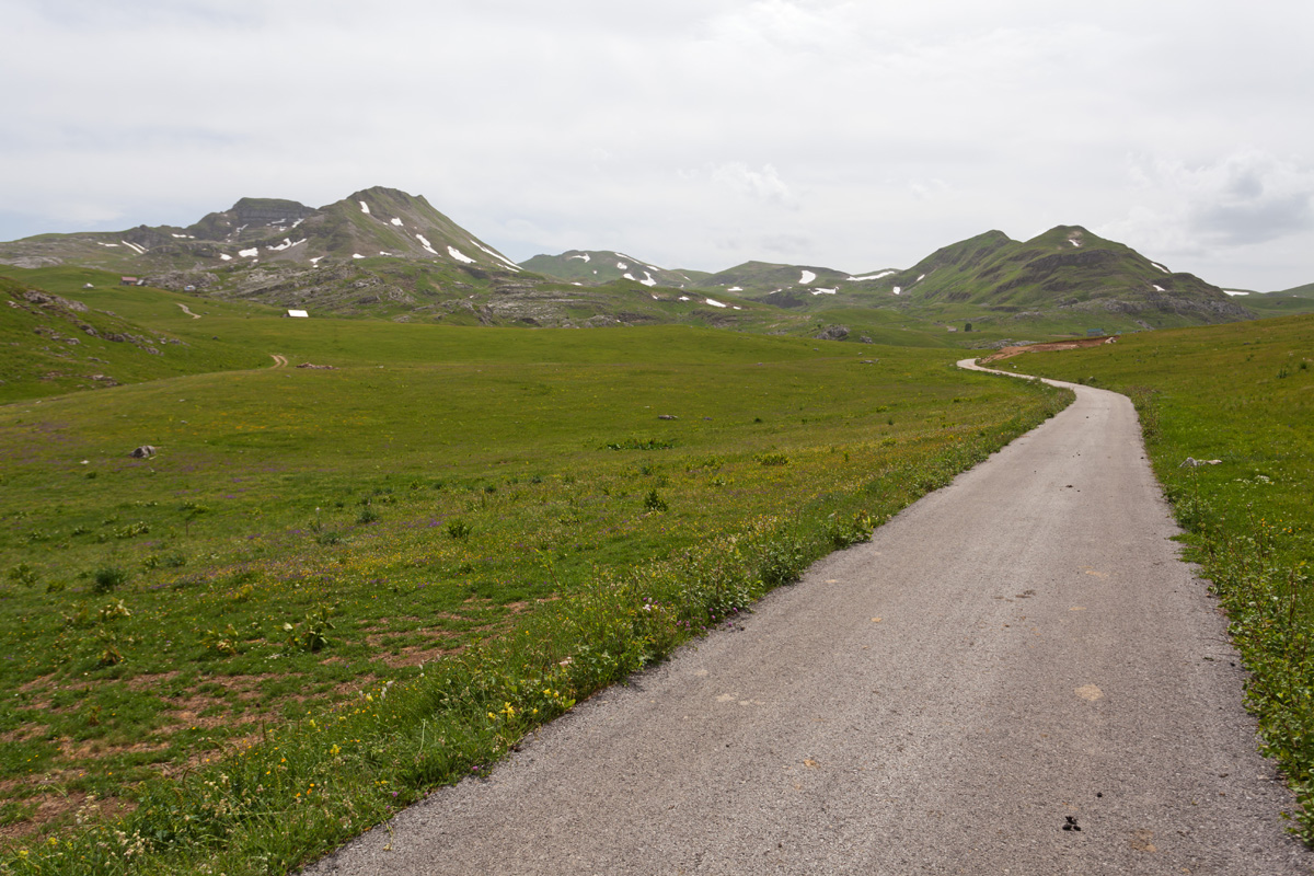
Sedlo (The Saddle Pass) (VR)
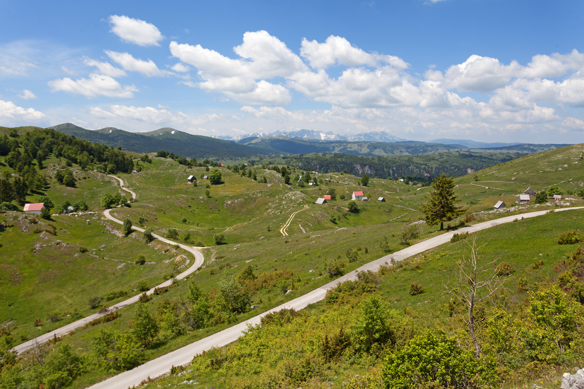
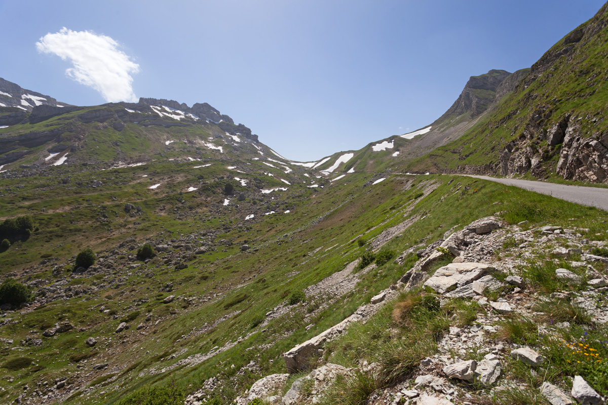
Sedlo is the famous 1900m pass on the Trsa - Žabljak road. This road is iconic and a must-see in early summer, resembling Transalpina or Transfăgărășan in the Carpathians.


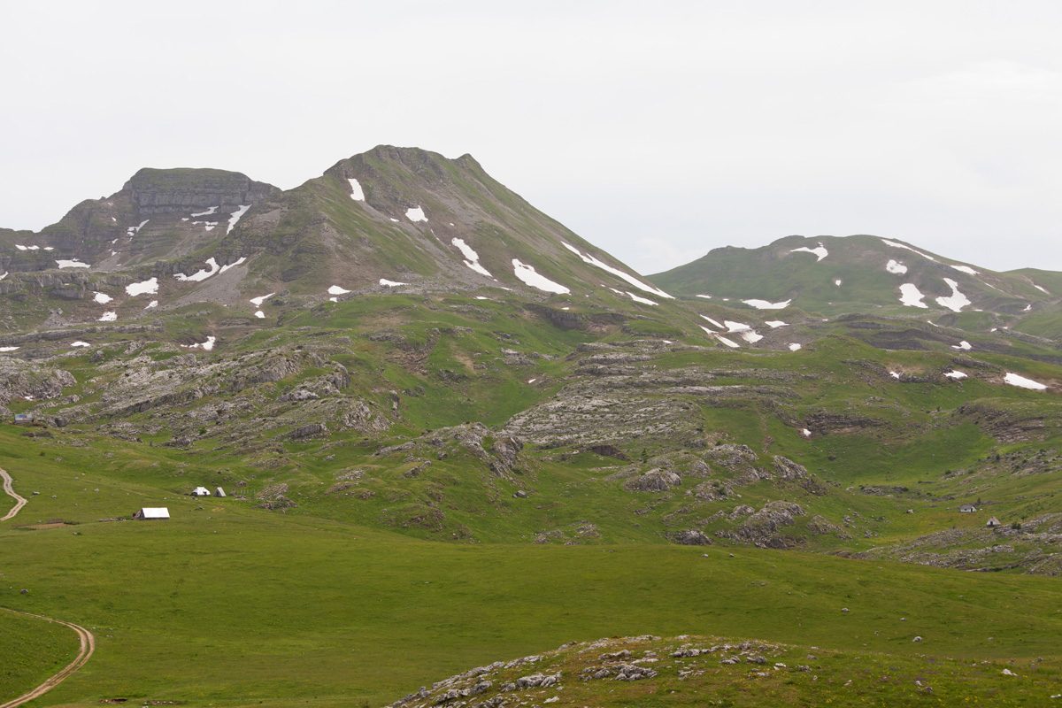
Todorov Do (VR)
A meadow at the foothills of Prutaš peak, along the Trsa - Žabljak road. The start of the Prutaš trail, which also extends to the Škrka valley by crossing over the Ilin Do pass.

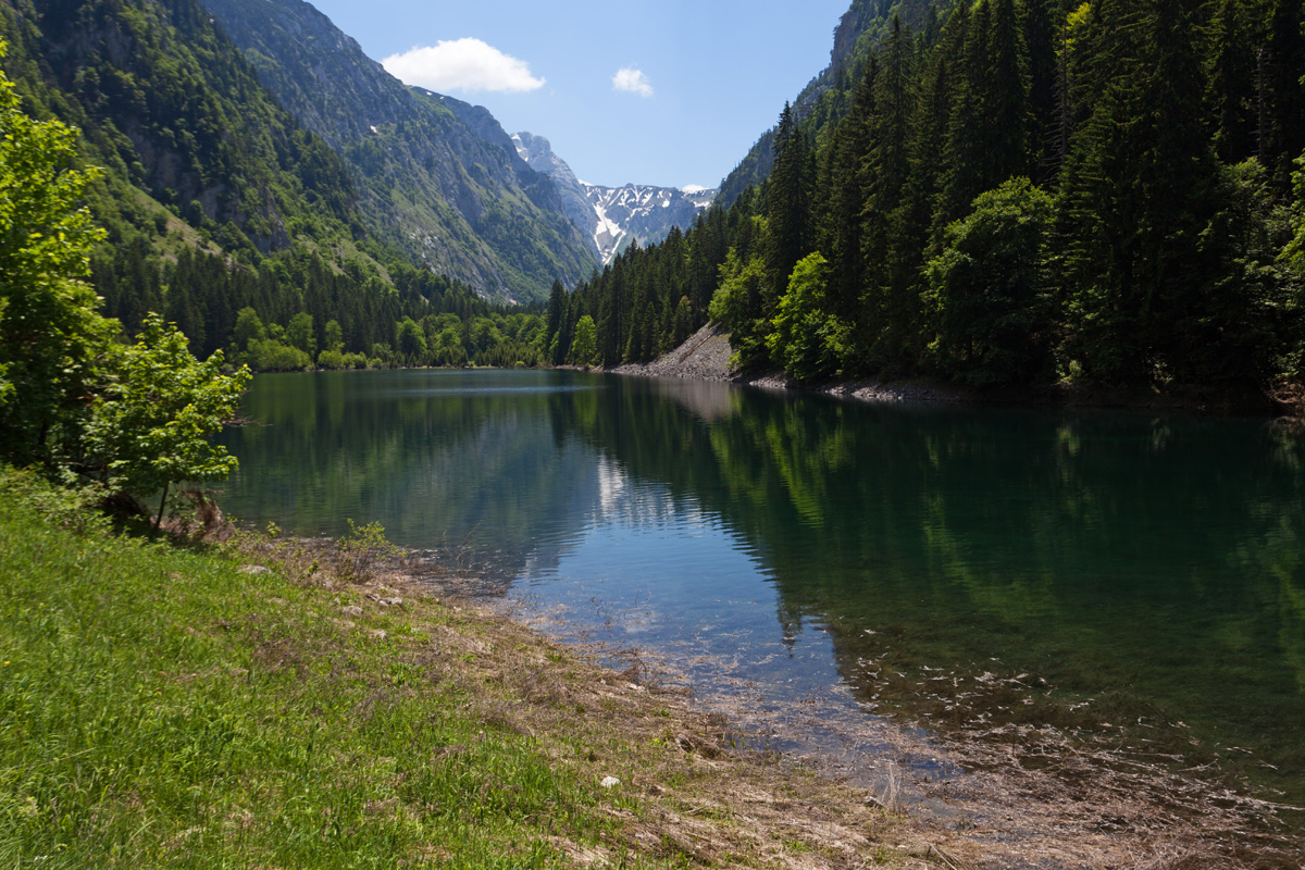
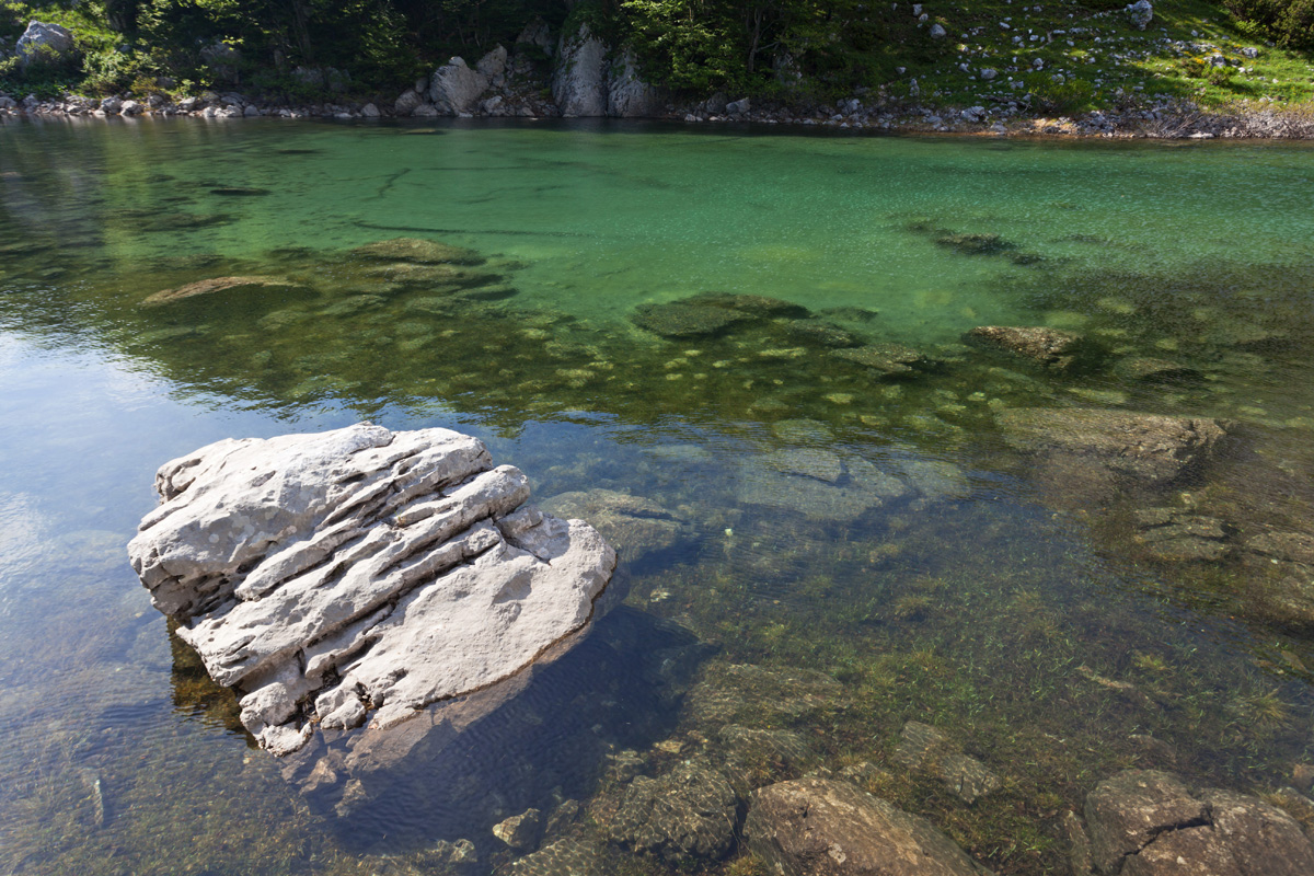
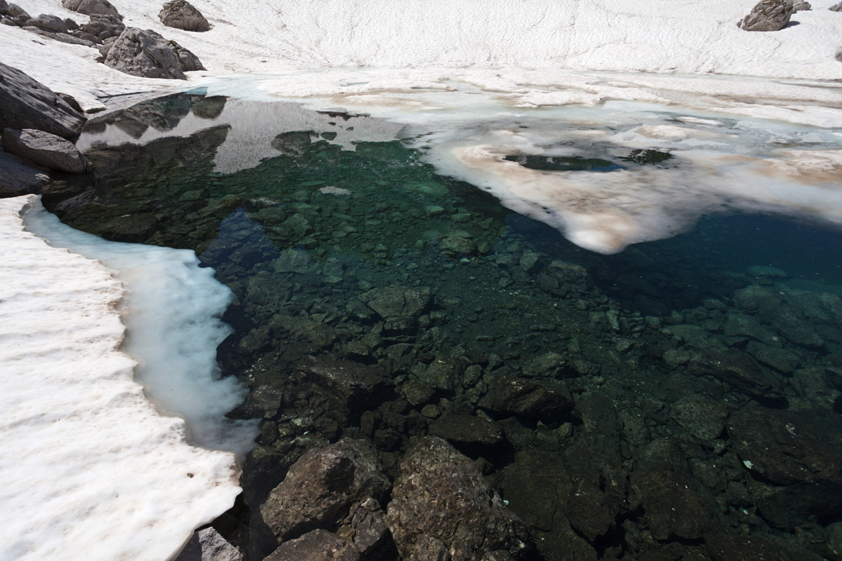
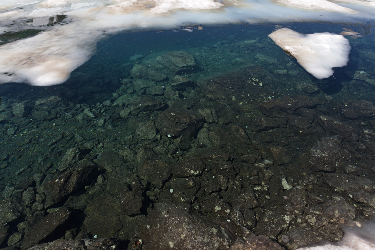
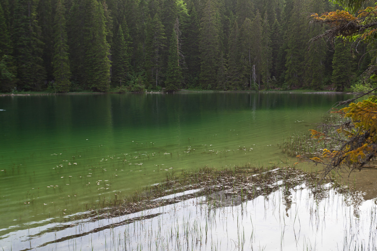
Zeleni Vir pond (VR)
This is a small intermittent lake that normally dissipates in summer, leaving only a small active spring of drinking water. The abundance of snow this year resulted in this Arctic blue phenomenon. I managed to find a fresh inflow stream under a giant rock, it was immensely refreshing and surprisingly nourishing even though it was molten snow mostly.

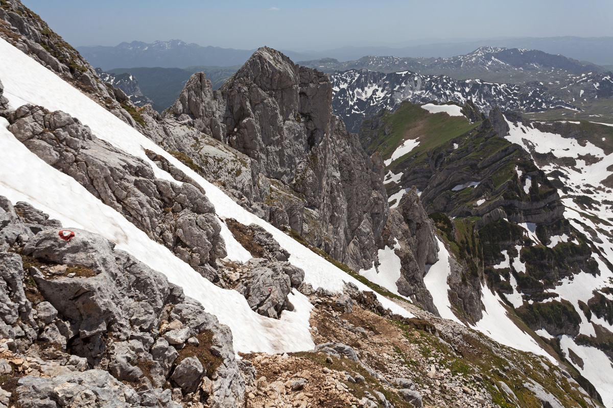
Bobotov Kuk - Lučin Vrh pass (VR)
This pass is on top of the ascent from Zeleni Vir towards Soa Nebeska, the highest ridge of Durmitor. It divides Mliječni Do (south) and Valoviti Do (north) cirques. Here is the junction of southern and northern trails to Bobotov Kuk and neighbouring peaks.

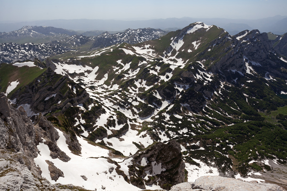
Škrčki Pogled (Škrka View) (VR)
As its name implies, this ridge that connects Bobotov Kuk with Đevojka (Soa) peak is the perfect viewpoint towards Škrka.
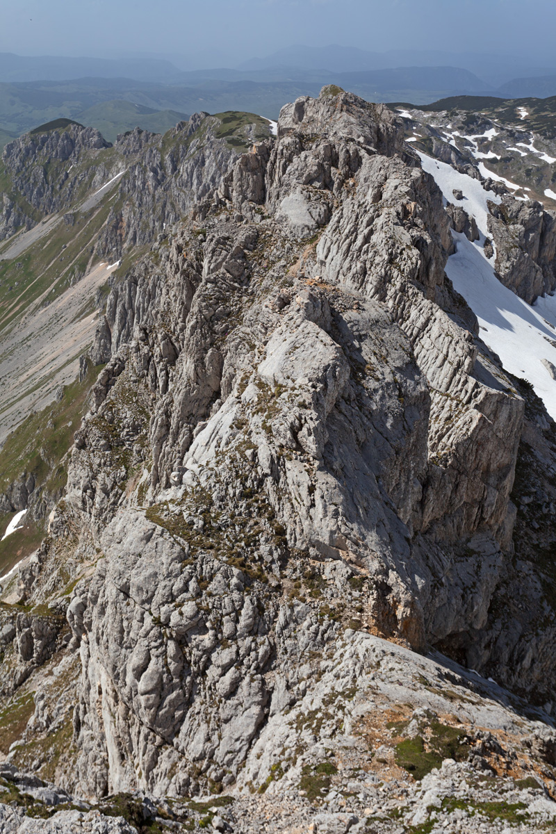

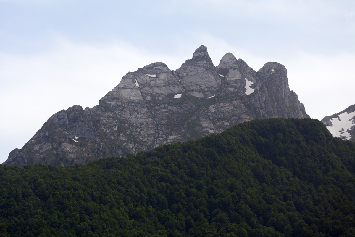
Bobotov Kuk, eastern view (VR)
The highest peak of Durmitor.

Bobotov Kuk, western view (VR)
The highest peak of Durmitor.
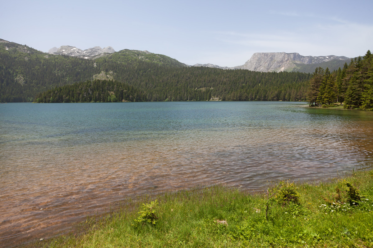

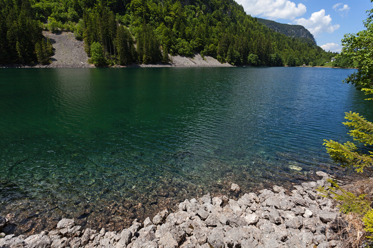
Malo Crno Jezero (Little Black Lake) (VR)
Malo Crno Jezero connects with its sibling Veliko Crno Jezero when the level is high, although underground siphons also exist. Despite having a smaller surface area after which it was named, Malo Crno Jezero is twice as deep (49m vs. 24m) and has a greater volume. It is also the primary feeding target for both underground and ground streams coming from Mali Međed ridge.

Zminje Jezero (Snakes Lake) (VR)
This shallow lake got its name after the patterns that vegetation forms on its surface. The vicinity of the forest and plants growing in the lake some time in the year produce cover which appears as snake skin from the distance.

Vražija Glavica (VR)
A small hill overlooking the Vražije Jezero (The Devil's Lake).

Bučum Javorje (VR)
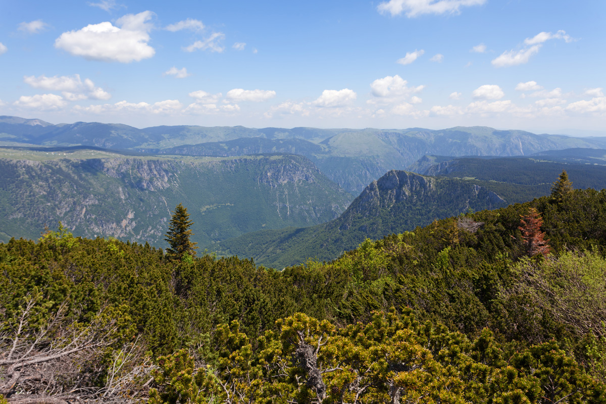
One of many high planes in central Montenegro, between "Moračke planine" (Mountains of river Morača) and Sinjajevina mountain. The closest prominent peaks belong to Lola mountain.

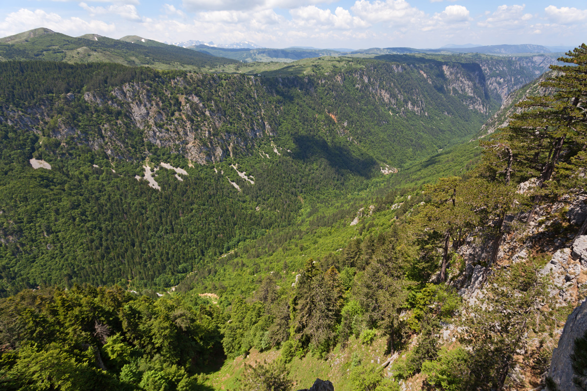
Canyon of river Morača - "Platije" spot (VR)
Canyon of river Tara is the most famous in Montenegro, being the deepest canyon in Europe (1300m depth) and thanks to its undeniable splendor. However the canyon of river Morača is not far behind (1100m depth), but is much less regarded in general public. Few people know about the many small tributary rivers scattered along this canyon that form spectacular narrow canyons of their own and many waterfalls. Their natural inaccessibility provides reliable refuge for wide variety of plants, animals and fish, not only the aesthetic value. Moarača is the major supply of water for Skadarsko jezero, a national park with world recognition - home to a large number of endemic species which depend on delicate balance and quality of water.
Unfortunately this whole canyon, its inhabitants and the related ecosystem downstream may soon meet their demise, if the combined wisdom of people currently ruling this country (and those voting for them) decides to build a hydroelectric power plant on river Morača, that would sink this place and irreversibly degrade its surroundings. Despite the size of the canyon the water volume of Morača is limited, bringing in question the economic foundations of the project and debunking it in what it truly is - an aspiration of a few greedy people in power to fill their pockets.

Canyon of river Morača - "Platije" spot (VR)
Part of the old road that was cut off and abandoned after a disastrous rock slide.

Canyon of river Morača - "Platije" spot (VR)
Part of the old road that was cut off and abandoned after a disastrous rock slide.