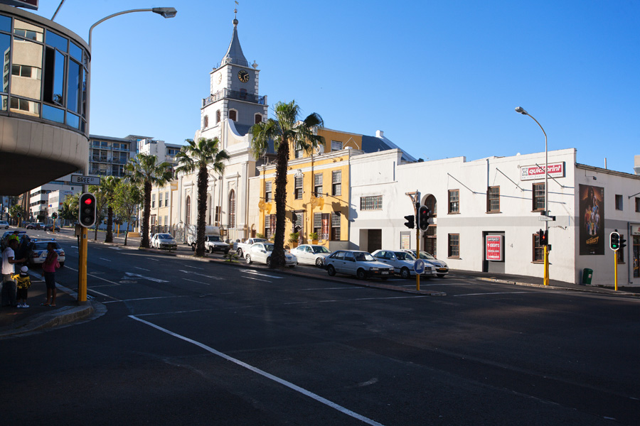
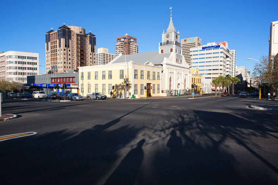
South Africa: Cape Town
Although this city's first foundations were laid in 1652, some 150 years after the "Voyages of Discovery" by Bartolomeu Dias and Vasco de Gama, it developed with the same enthusiastic spirit. Initially built as a stopover point for ships sailing around Cape Point, it quickly became a base for various explorers of Africa. Traveling farmers, gold prospectors, colonists, adventurers and other people of restless spirit from around the world gathered here and this city got some special charisma. For a long time Cape Town stood surrounded by at that time unexplored South African plains, and by being so far from civilization its life pace was never too hasty. The city grew large very quickly because of its economic and strategic importance, and remained as such till today.
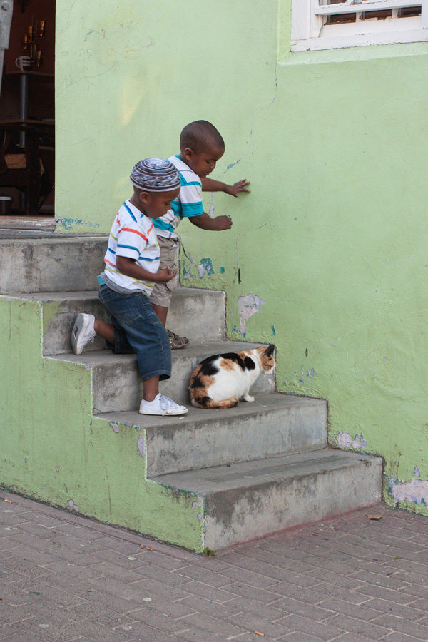
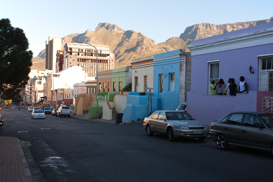
The best thing about Cape Town is that this city kept large part of its old spirit. In some peculiar way, people of this multicultural center somehow still resemble in behavior those old sailors and adventurists that first came here. In Cape Town everybody is more spontaneous and relaxed, good conversation is just around the corner and atmosphere is positive.
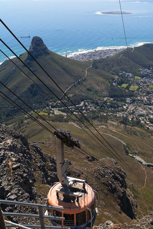
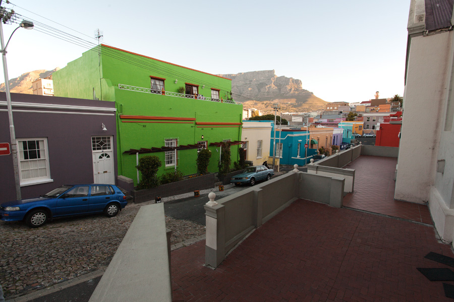
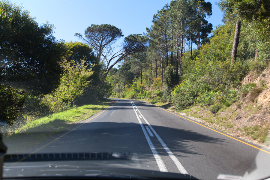
The most easily recognized landmark of Cape Town is Table Mountain, with its 1000m high plateau right above the city. The whole Cape Peninsula, a strip of land between Atlantic Ocean and waters of False Bay, is a national park because of its stunning floral biodiversity and pretty natural features. Driving around in nice weather is truly a pleasure. Western Cape, a province to which Cape Town belongs to, has a very favorable climate and soil for growing grapes, so the wine from this region has gained world recognition.
Photographs are from middle of September, 2010.
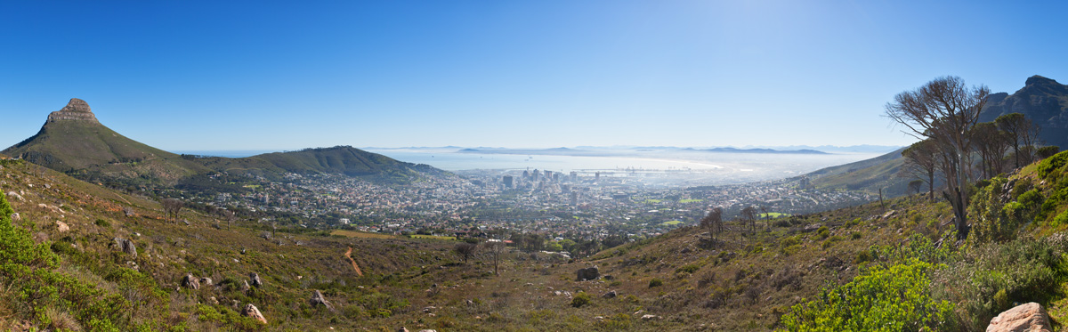
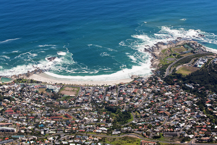
Cape Town from the foothill of Table Mountain
On the left two prominent landmarks of Cape Town can be seen, the Lion's Head (tall rocky crest) and Signal Hill. Table Mountain is behind photographer's back.
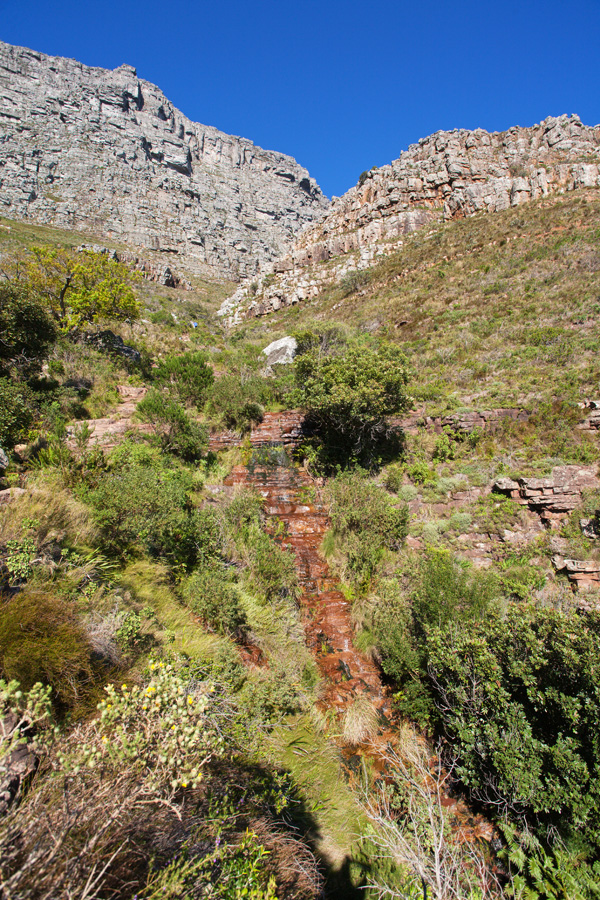
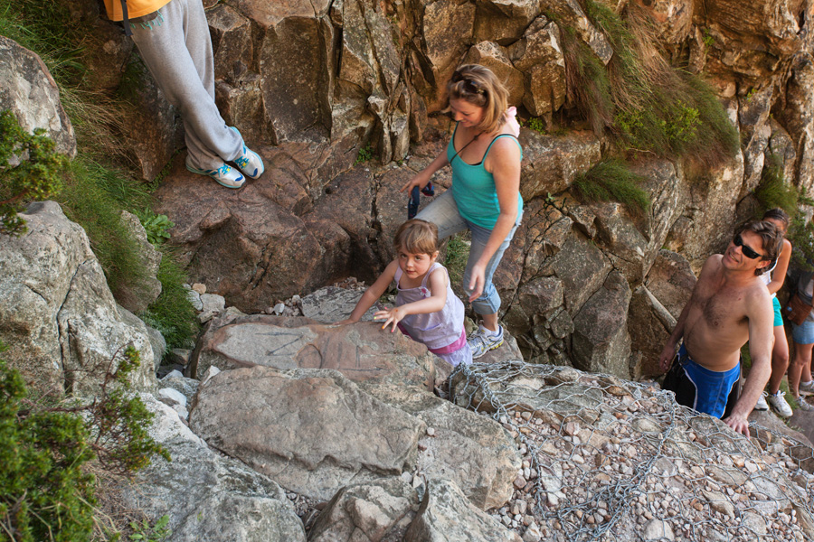
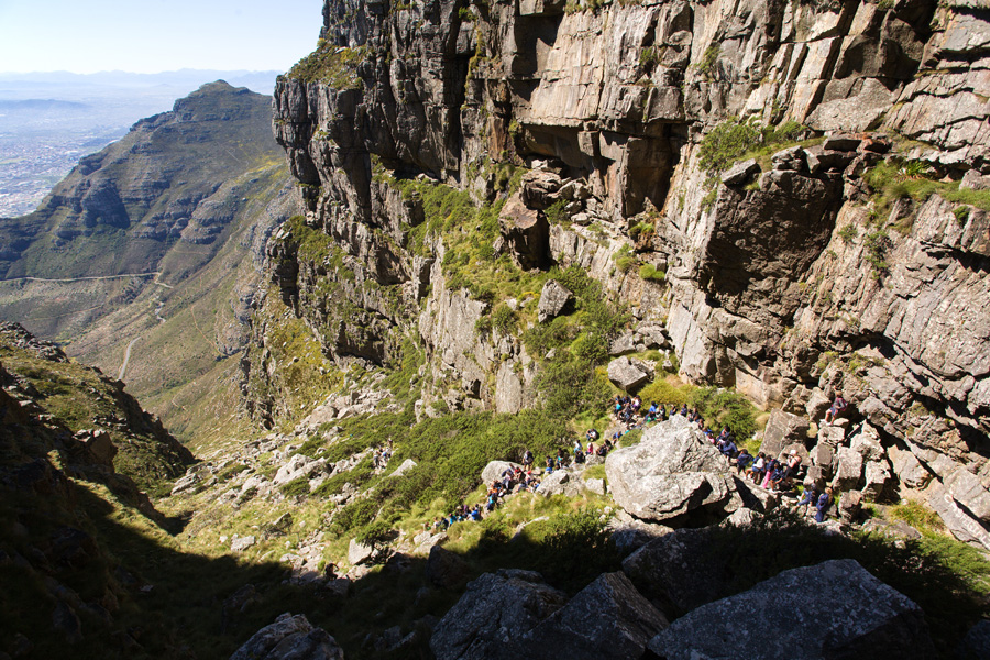
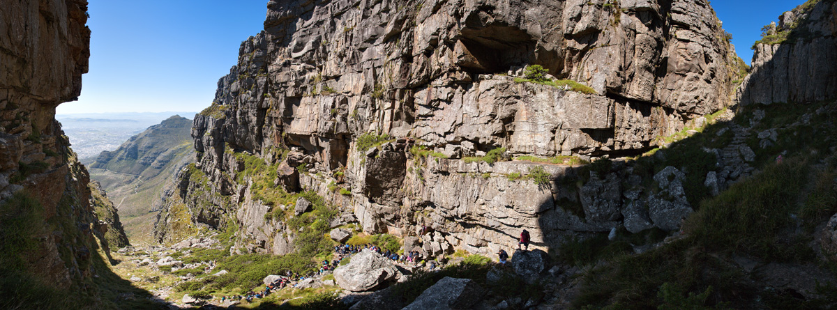
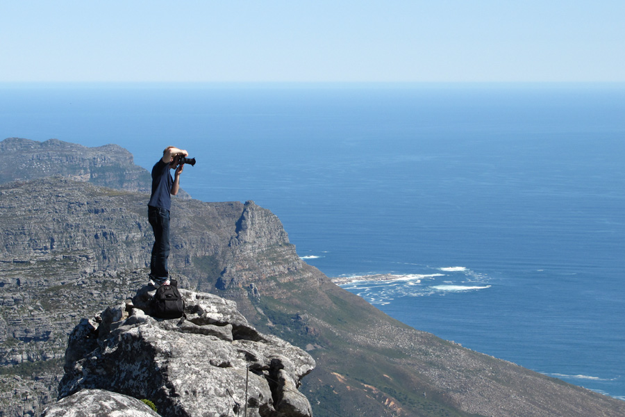
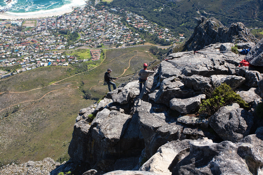
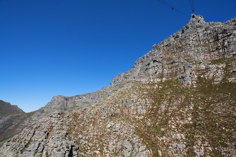
Platteklip Gorge ascent route to Table Mountain
This is the route most often taken by those who wish to climb Table Mountain on foot. For those skilled in mountaineering this will not be difficult, but keep in mind that path is steep, rocky and has an altitude gain of around 650m.
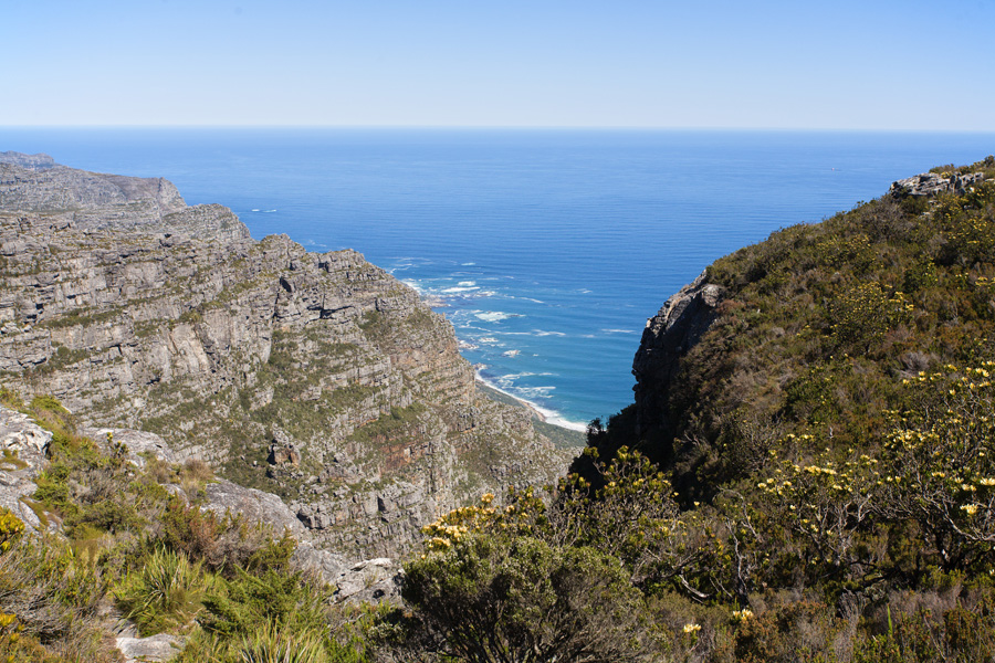
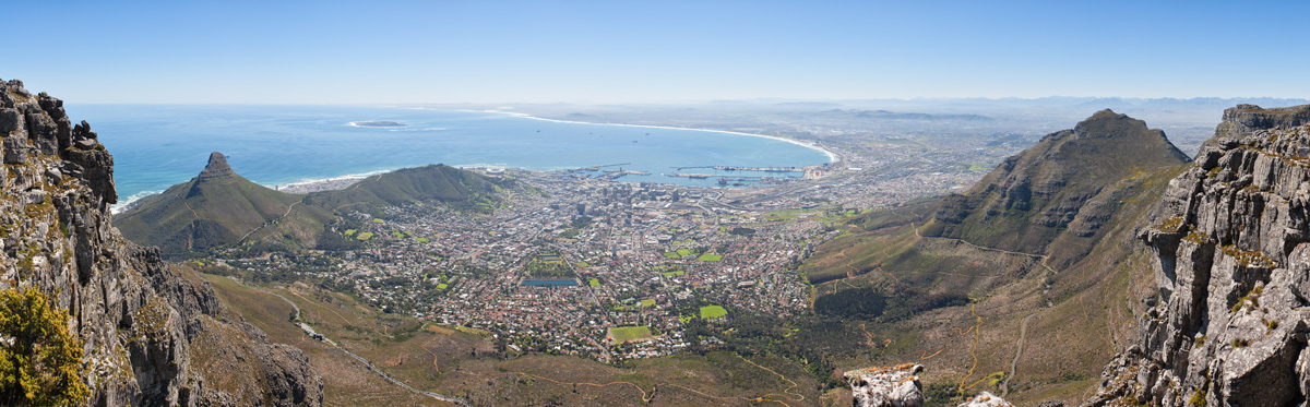
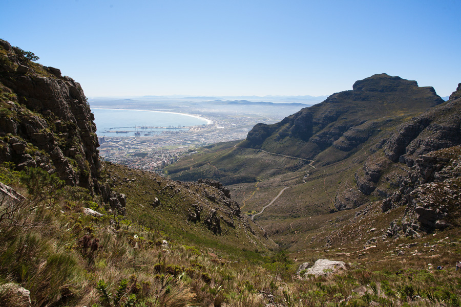
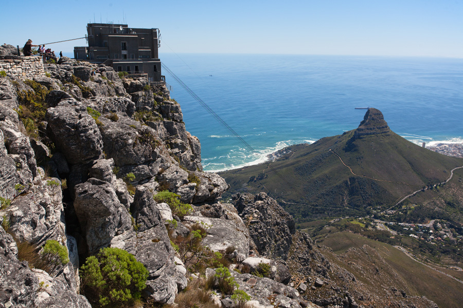
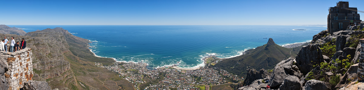
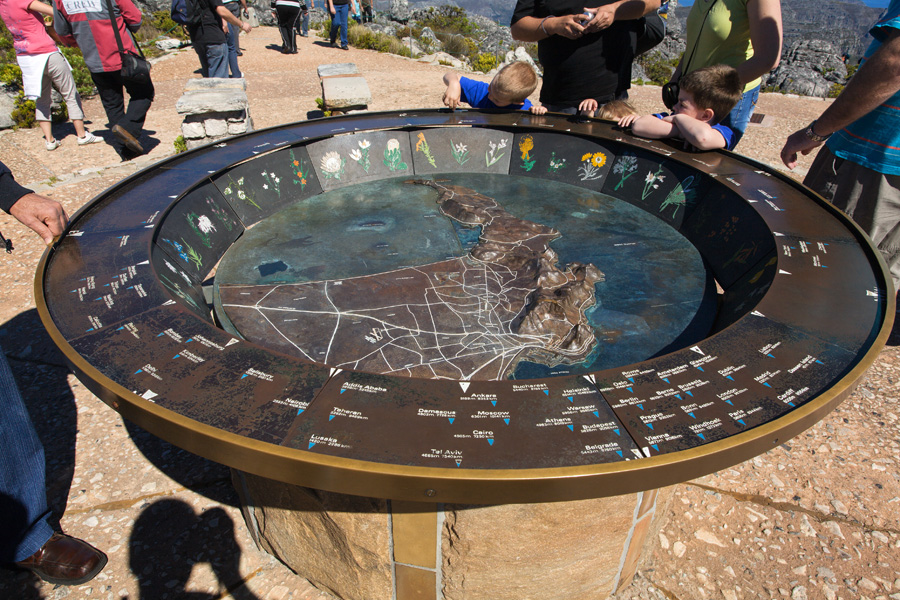
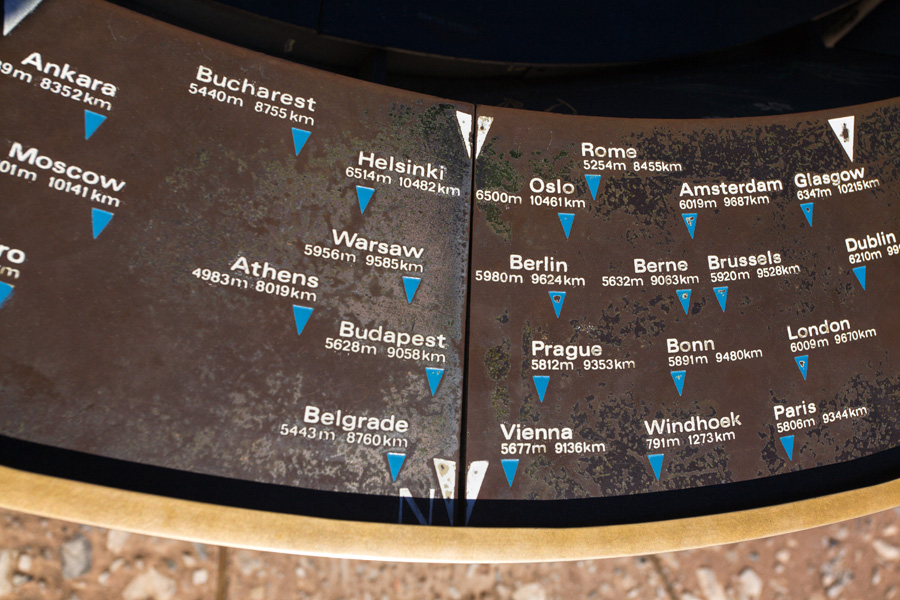
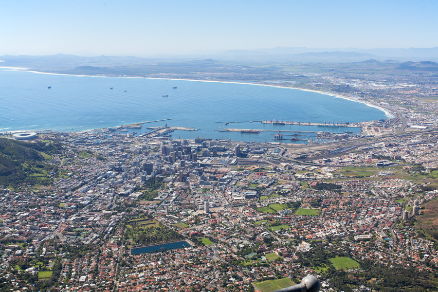
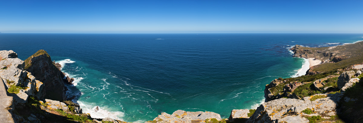
Cape Town Panorama from Table Mountain
Table Mountain's flat plateau is at around 1000m above sea level and offers nice views in various directions. At the opening of Table Bay, Robben Island can be seen. Former prison where Mandela was kept is now converted into a memorial center, and it can be visited by taking guided tours by boat from city's harbor.
Very large size image (Deep Zoom)

Cape Town Panorama from Table Mountain (VR)
Because of it's prominence, clouds sometimes cover the whole Table Mountain and not much can be seen from here. Cape Town is known for it's windy and often unpredictable weather, but climate is generally very good here, resulting in abundant flora. Not to mention excellent Western Cape wine, which holds worldwide recognition.
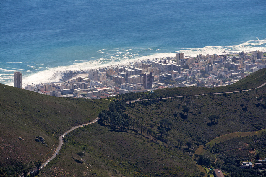
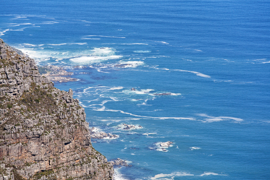
Atlantic Ocean Panorama
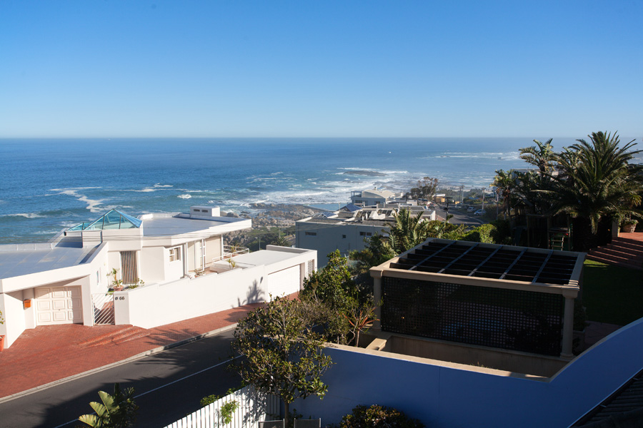
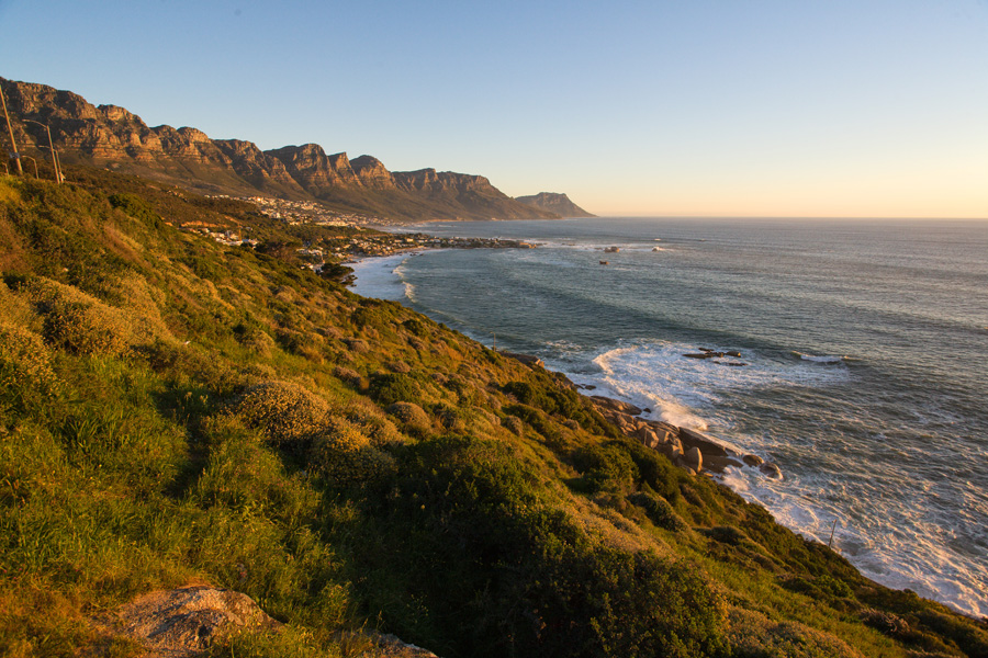
Directly below is Camps Bay, where you can find very nice accommodation. Along the beaches there are many excellent restaurants and clubs. People from Cape Town are very relaxed and friendly, I really like the way they still preserve that free spirit of ancient sailors and adventurists alike.

Table Mountain Top Panorama (VR)
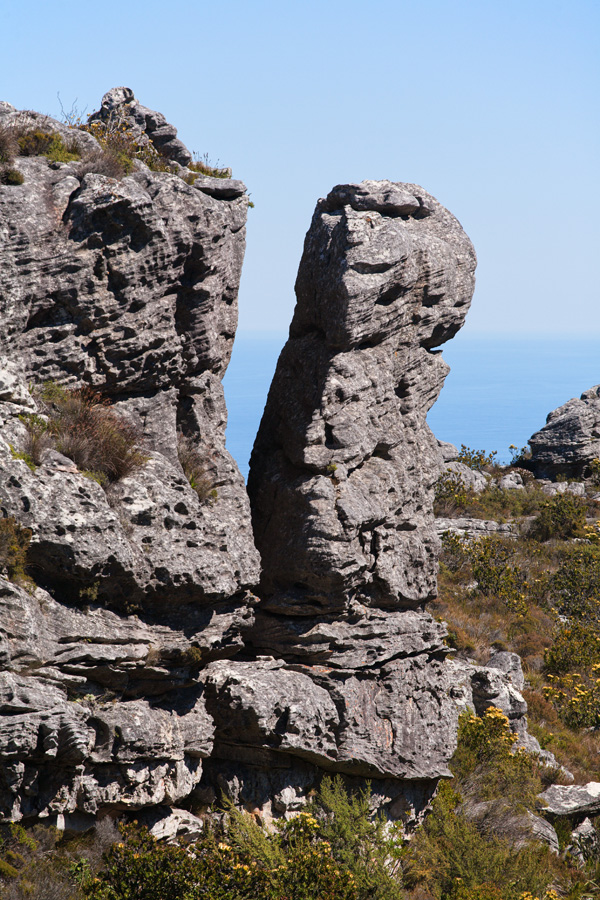
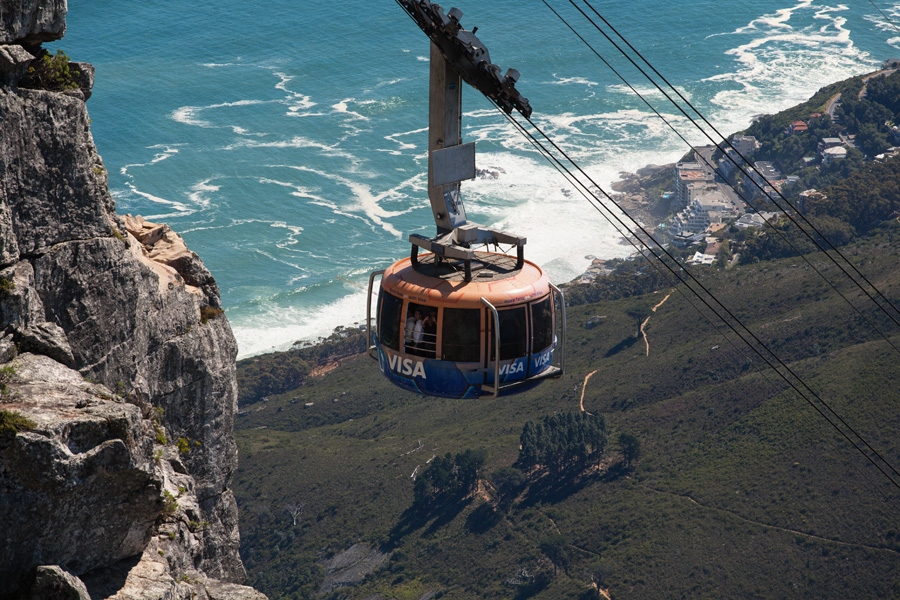
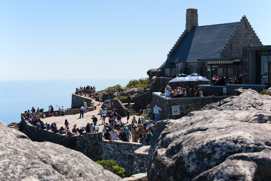
There are a lot of walking trails and viewpoints scattered over the flat plateau of Table Mountain, most of them being close to the cable car station. As usual, here you can find shops, restaurants and other tourist attractions.
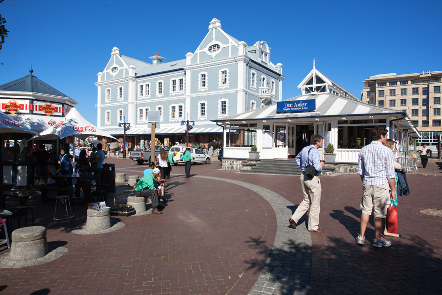
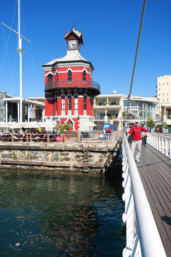
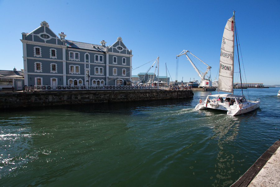
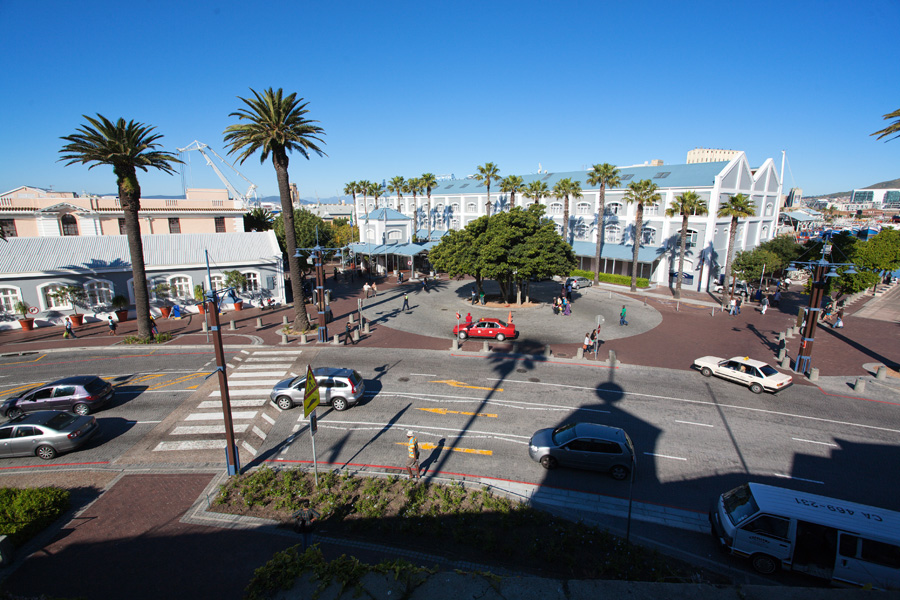
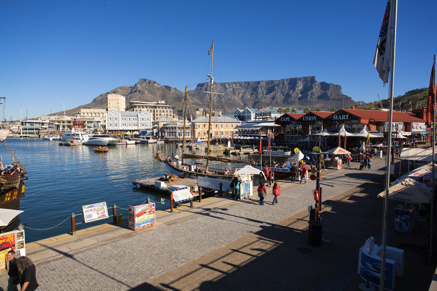
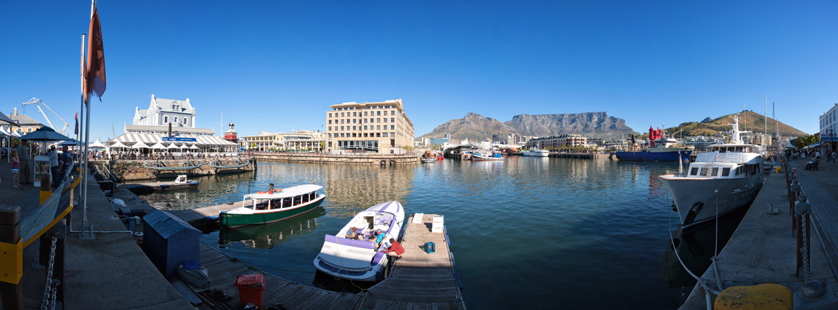
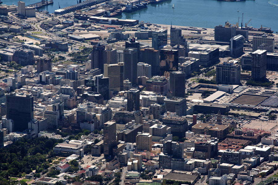
Victoria & Alfred Waterfront Panorama
This is the old harbor of Cape Town. It is now basically a large shopping area, but architecture has been nicely preserved so the place kept part of it's spirit.
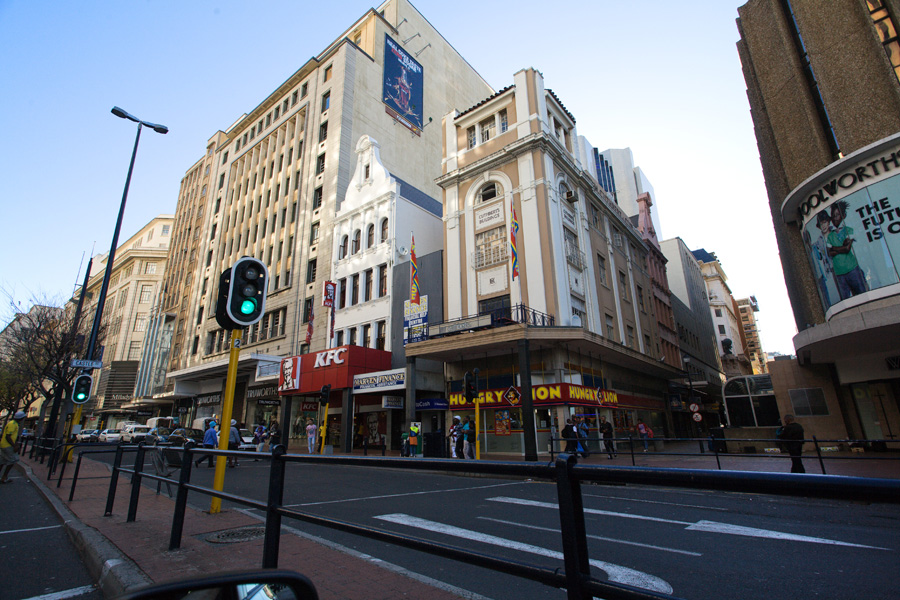
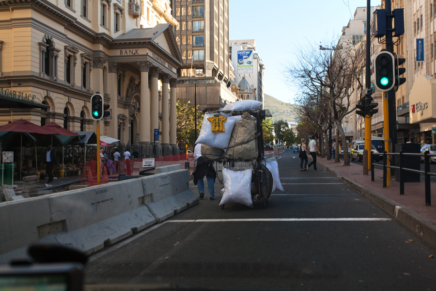
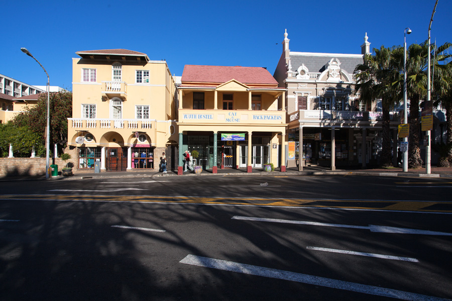
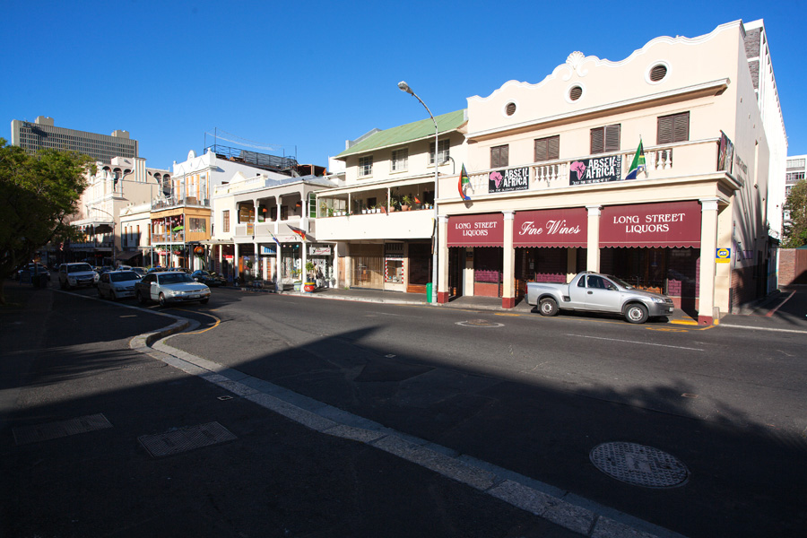

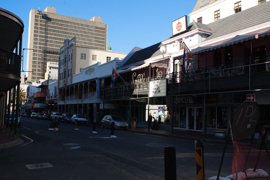
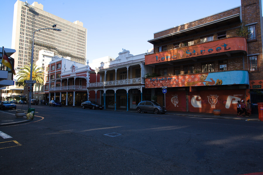
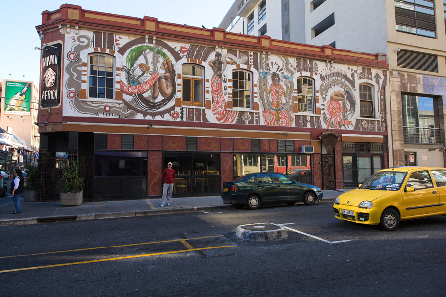
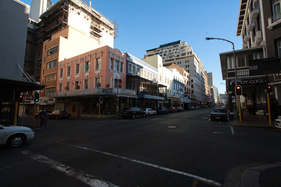
Long Street Panorama (VR)
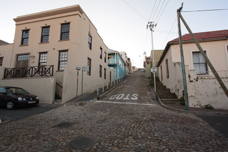
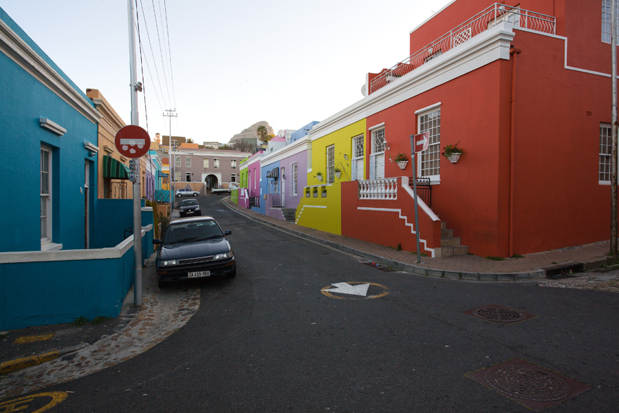
This particular street is famous for it's places for young people, especially travelers. There are lots of hostels, bars, clubs and some interesting shops selling unusual stuff which can hardly be called tourist souvenirs. Not to mention some nice Victorian architecture details scattered among many others from around the world, a unique South African look.

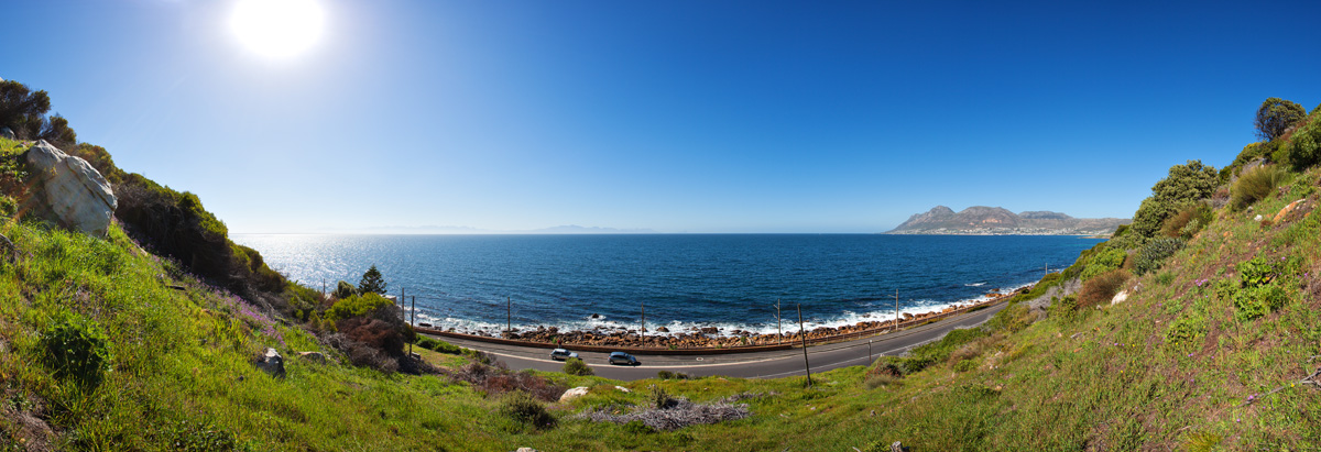
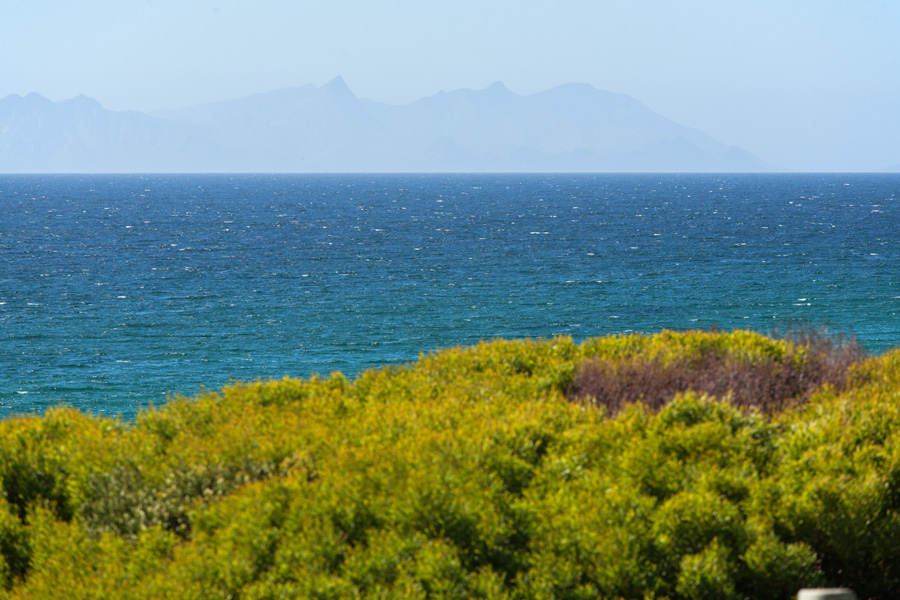
False Bay Panorama
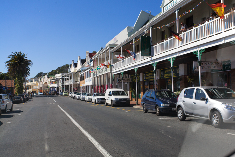
On the eastern side of Cape Peninsula is False Bay, named in such way by sailors who entered here by mistake, looking for Table Bay instead. Water in this bay is considerably warmer than Atlantic Ocean on the western side, as False Bay is affected by warm currents from the Indian Ocean. Close by is Simon's Town, an old naval base and fishing village.
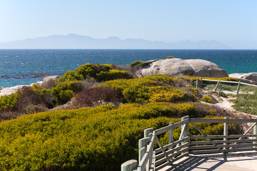
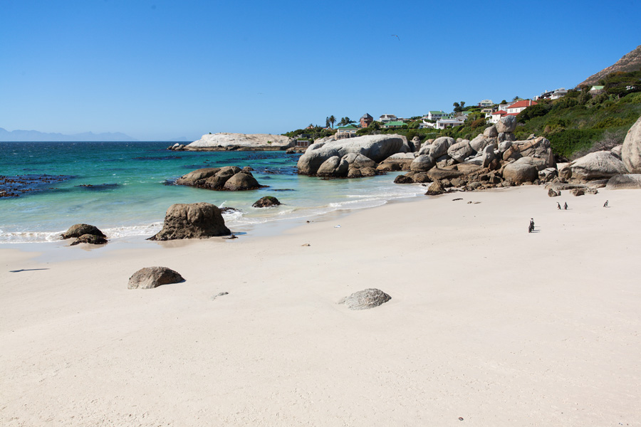
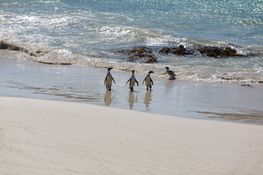
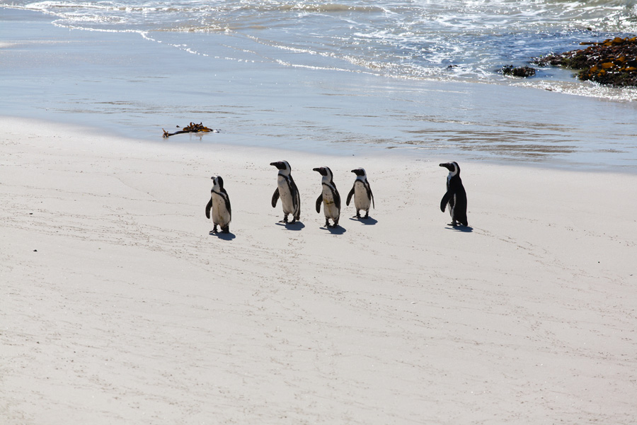

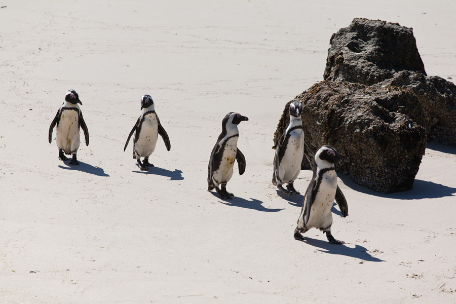
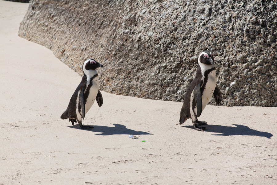
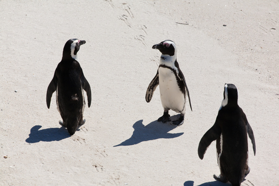
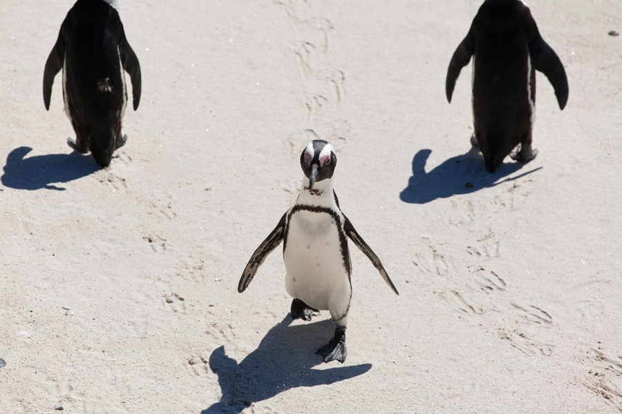
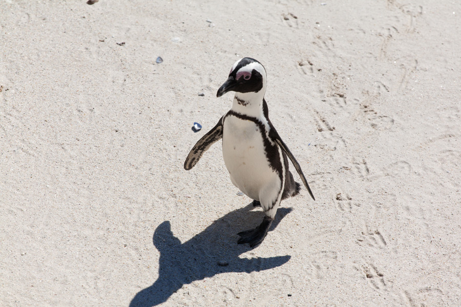
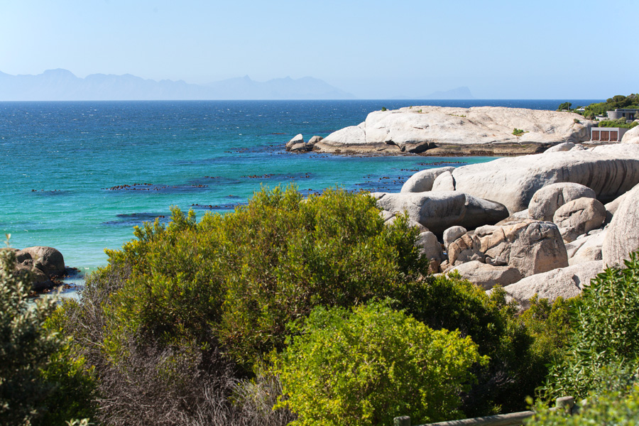
Boulder Beach Panorama (VR)
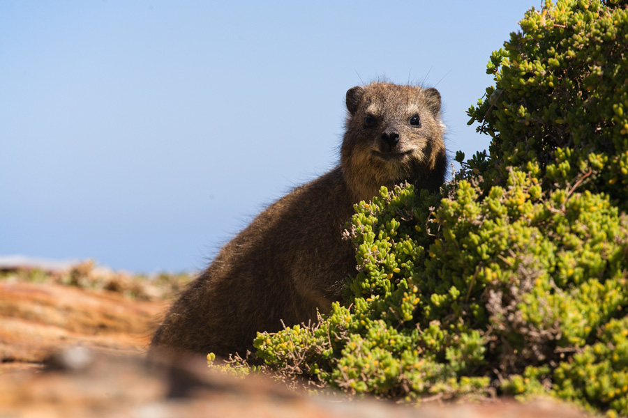
This beach is very close to Simon's Town, and is famous for it's colony of African penguins which have been living here for some decades. Penguins are not afraid of people generally, but will only allow you to approach not more than one meter. They seem to live happily on white sandy beaches among those granite boulders laying around.

Smitswinkel Bay Panorama (VR)
This bay belongs to False Bay, and here's where the road going along the coast turns in land. Shortly after, the road enters the specially protected southern part of Cape Peninsula.

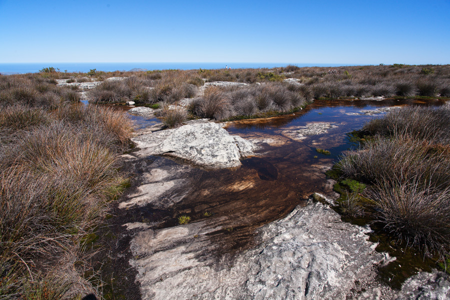
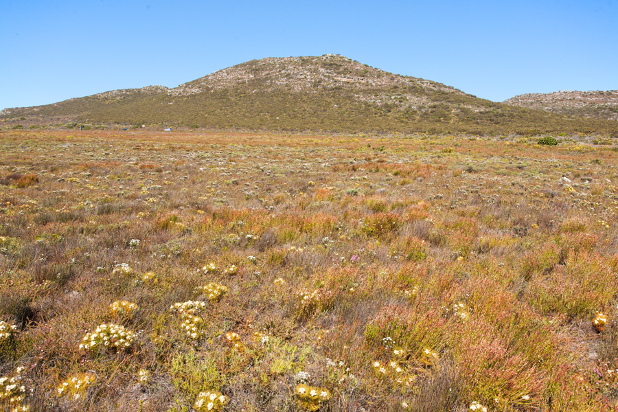
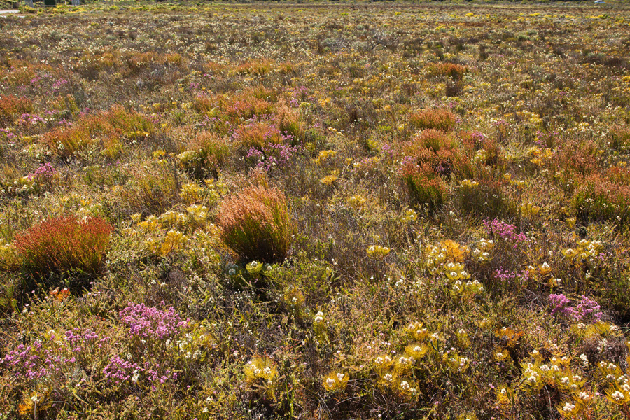
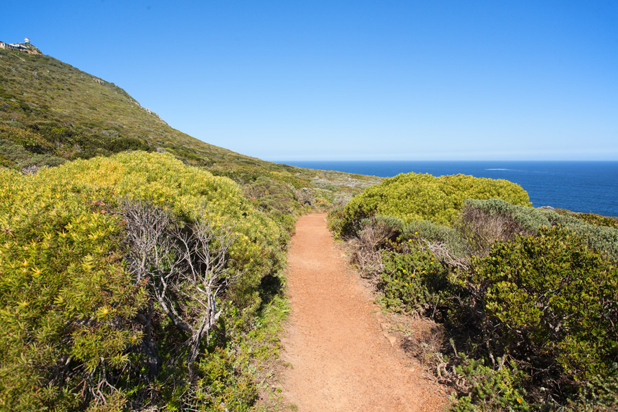
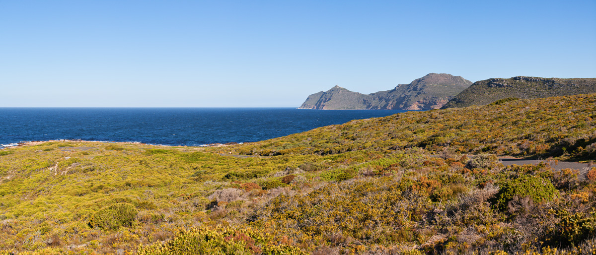
Cape Peninsula Fields Panorama (VR)
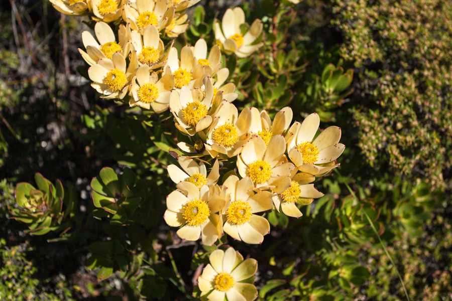
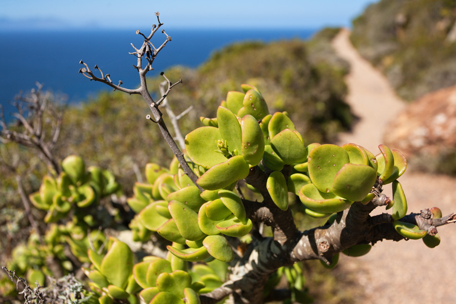
Although the area of National Park covers both Table Mountain and Cape Peninsula, this area is under special protection for it's highly diverse flora. Spring colors of these fields are truly magnificent, each plant alone is not that eye catching but the immense diversity is what makes this place look so colorful. Cape Peninsula is a part of the Cape Floristic Kingdom, one of the world's six recognized floristic kingdoms.
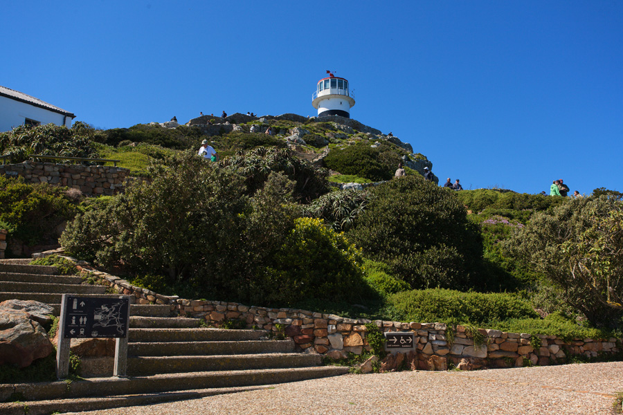
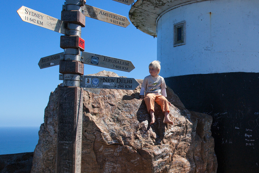
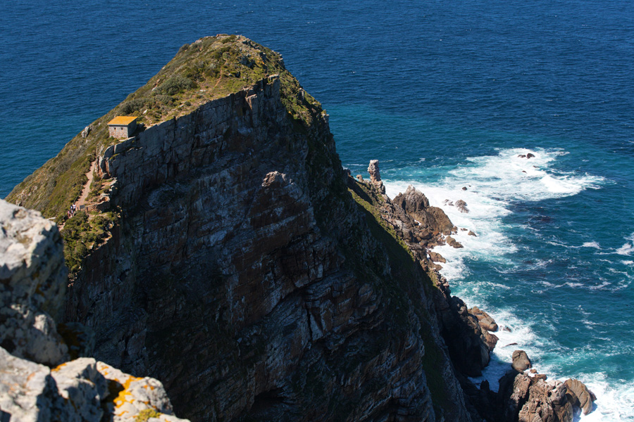
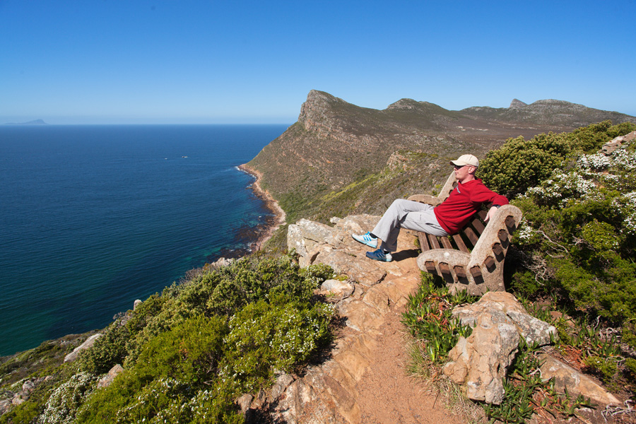
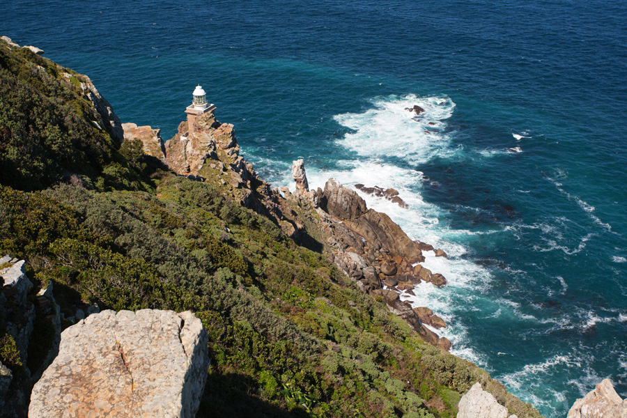
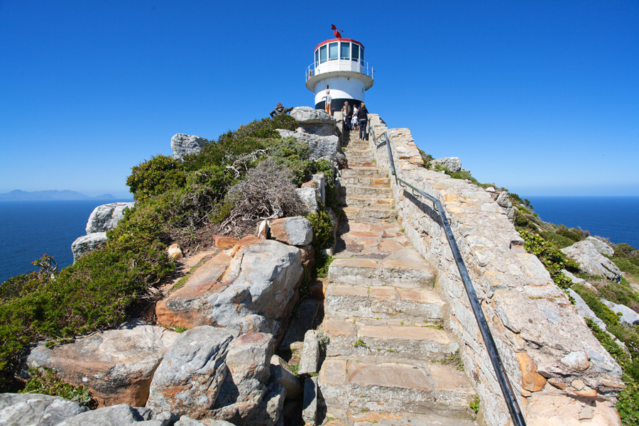
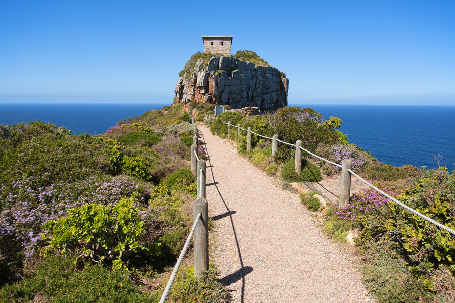
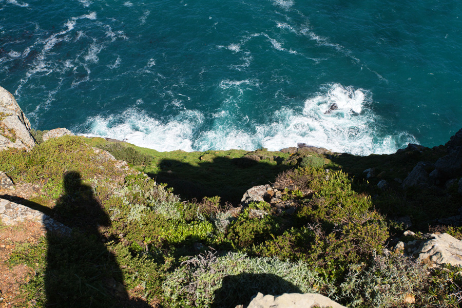
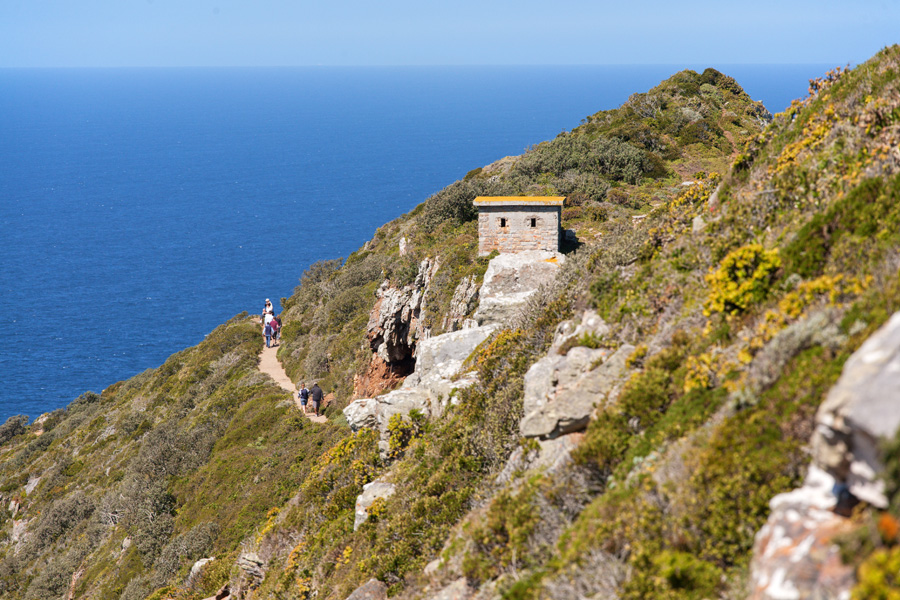
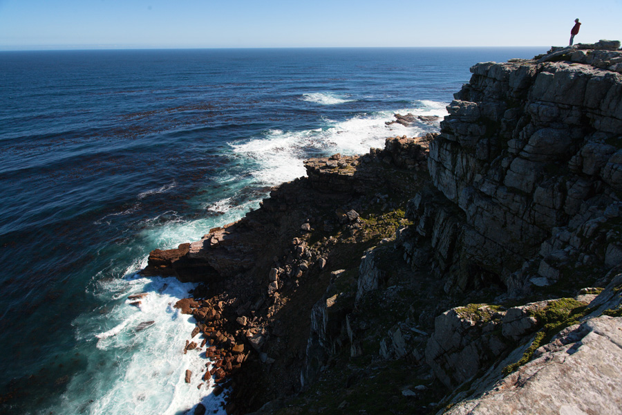
Cape Point Old Lighthouse Panorama
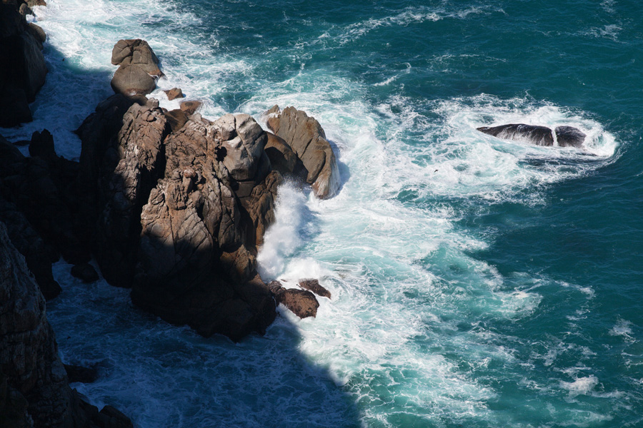
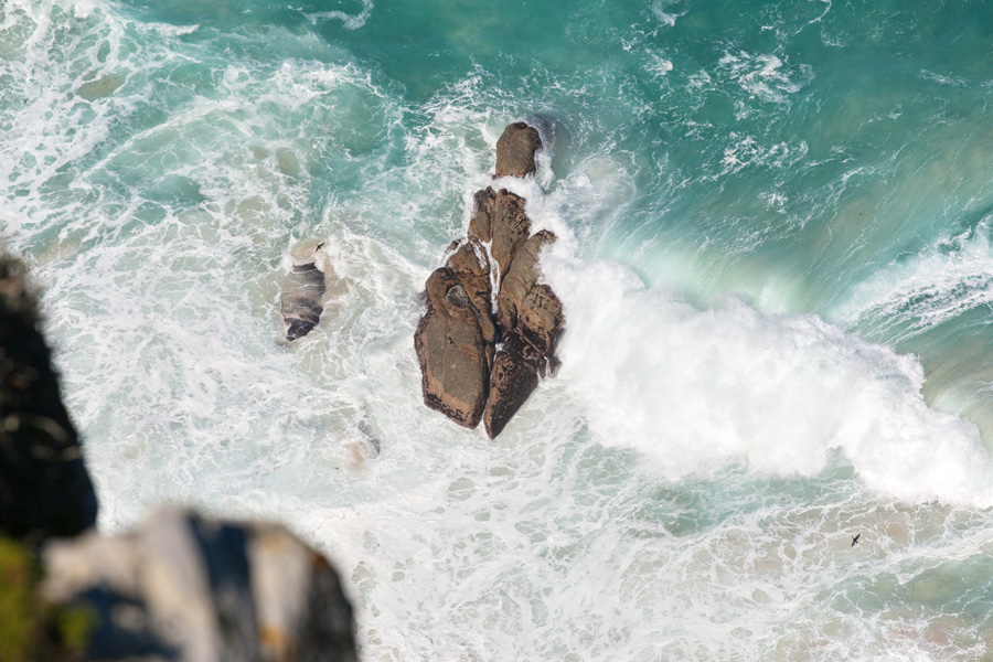
Standing here with your gaze over the horizon you can truly sense how strong the spirit of this place is. The end of the huge African continent, and vast open sea stretching even further than the South Pole. This is the kingdom of never stopping winds which hurtle the waves to crash on the rocks with an endless roar. Close to here is where the two oceans meet, cold Benguela Current of the Atlantic Ocean and warm Agullhas Current of the Indian Ocean. The first European to reach this point was Bartolomeu Dias in 1488, and his discovery of the route around Africa was received with great optimism (hence the name Cape of Good Hope). But on the other hand strong winds and unpredictable currents had made these waters treacherous for sailors, and countless shipwrecks lie here around underwater rocks.
Very large size image (Deep Zoom)

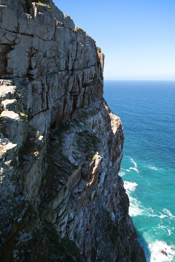
Cape Point East Slope Panorama (VR)
This side of steep Cape Point rock faces the False Bay. Border line between two oceans is not always in the same place, it shifts with the currents usually between False Bay mouth and Agulhas Point which is the southernmost point of Africa (approx. 150km from here).

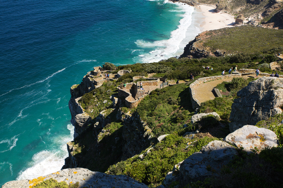
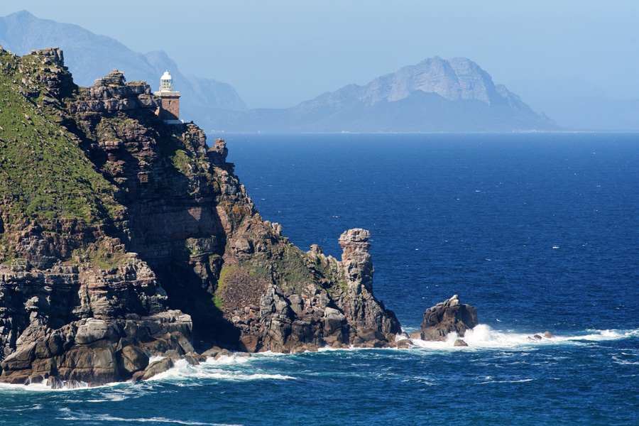
Cape Point Panorama (VR)
The old lighthouse on the cliff top is no longer used as this location gets covered by fog too often, and on clear nights it is difficult to judge how far you are from the land. For those reasons a second lighthouse was placed much lower (it is just below the cliff in front), so being able to see it from sea is taken as a sign that your ship is too close to the shore.
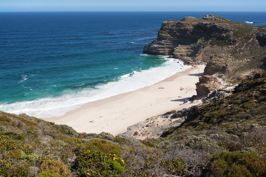
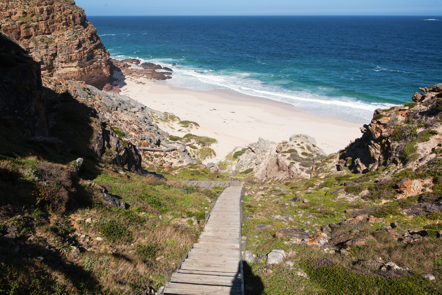
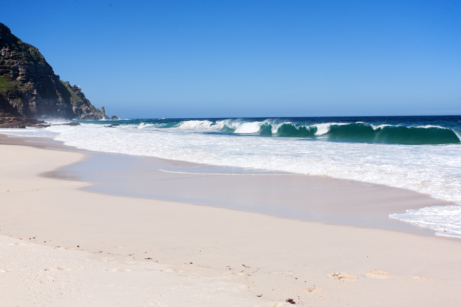
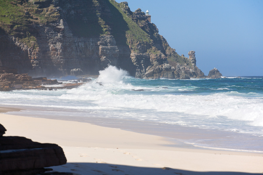

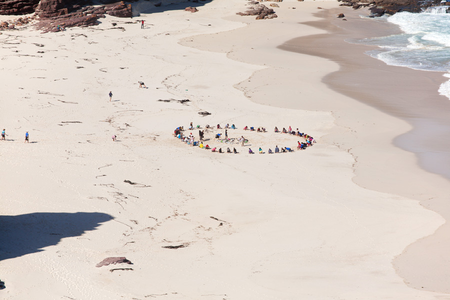
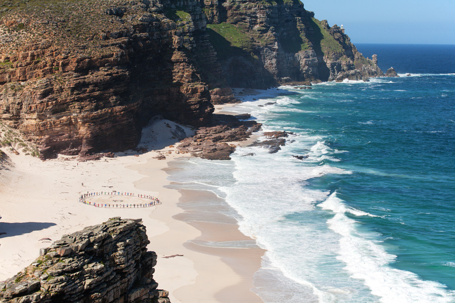
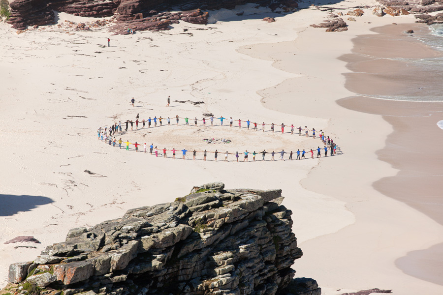
Bartolomeu Dias Beach Panorama (VR)
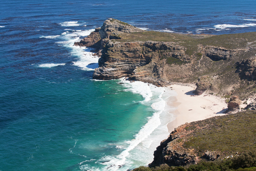
Tucked between Cape Point and Cape of Good Hope, this beach was named after the Portuguese explorer who was the first to sail this far south from Europe and discover the route around Africa. As being the south-westernmost beach in Africa, this place bears a special spiritual significance to South African people.

Cape of Good Hope Panorama (VR)
Bartolomeu Dias actually discovered this place on his return trip to Europe. It was initially named Cape of Storms, but was subsequently changed to Cape of Good Hope, bearing the significance of his discovery. Not far from here a memorial cross was erected in his name.

Vasco da Gama Cross Panorama (VR)
Pioneering trip by Dias was a great success, but still nobody had proven that India was reachable by sailing around Africa. In the spirit of Age of Exploration, Vasco de Gama was the first to reach India in 1498. by sailing further than his predecessor. In memory of his travels a cross was erected here, just like the one in the name of Bartolomeu Dias.
Vasco da Gama Cross Panorama
Waters of False Bay in the late afternoon.
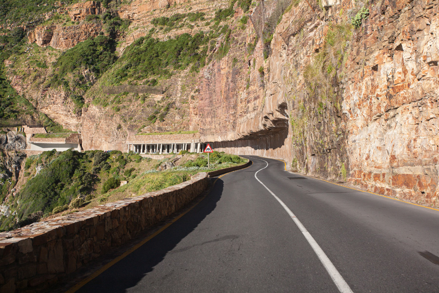
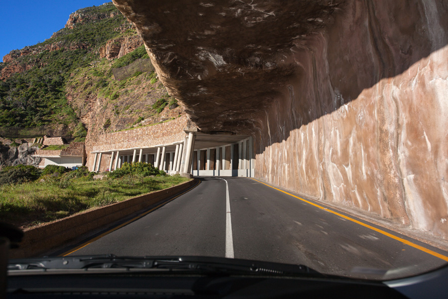
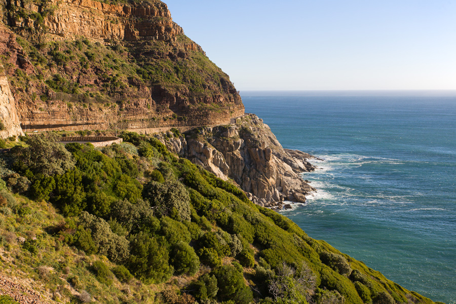
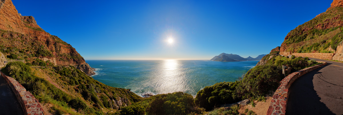
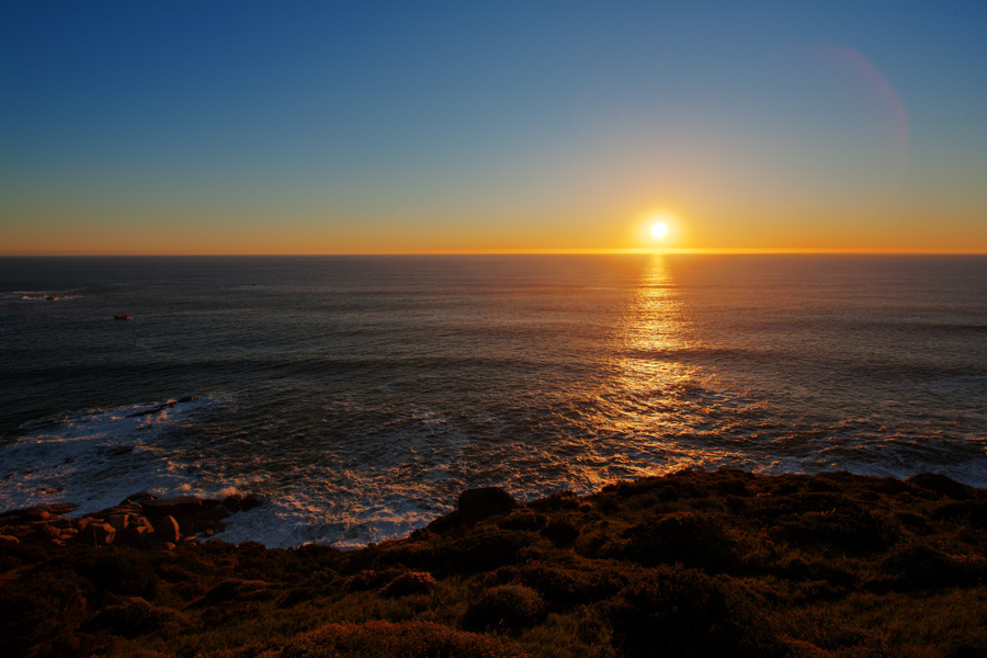
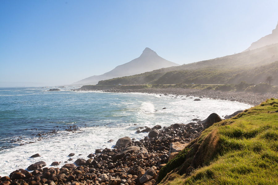
Chapman's Peak Drive Panorama
West side of this mountain peak is a steep cliff falling sharply into the Atlantic Ocean. A narrow road was cut through the rocks of this cliff, and has quickly gained status as one of the most scenic ocean drives in the world. It connects Hout Bay with Noordhoek in the south.

Chapman's Peak Drive Panorama (VR)
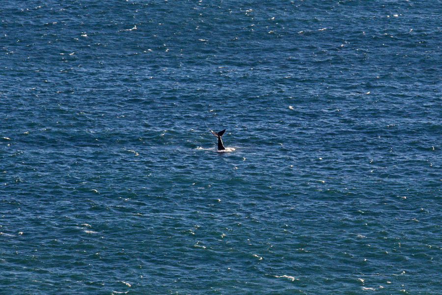
On clear days spectacular sunsets can be seen over the Atlantic ocean from here, and you can also watch whales playing in the water.