Moračke Planine (Mountains of River Morača) 2010.
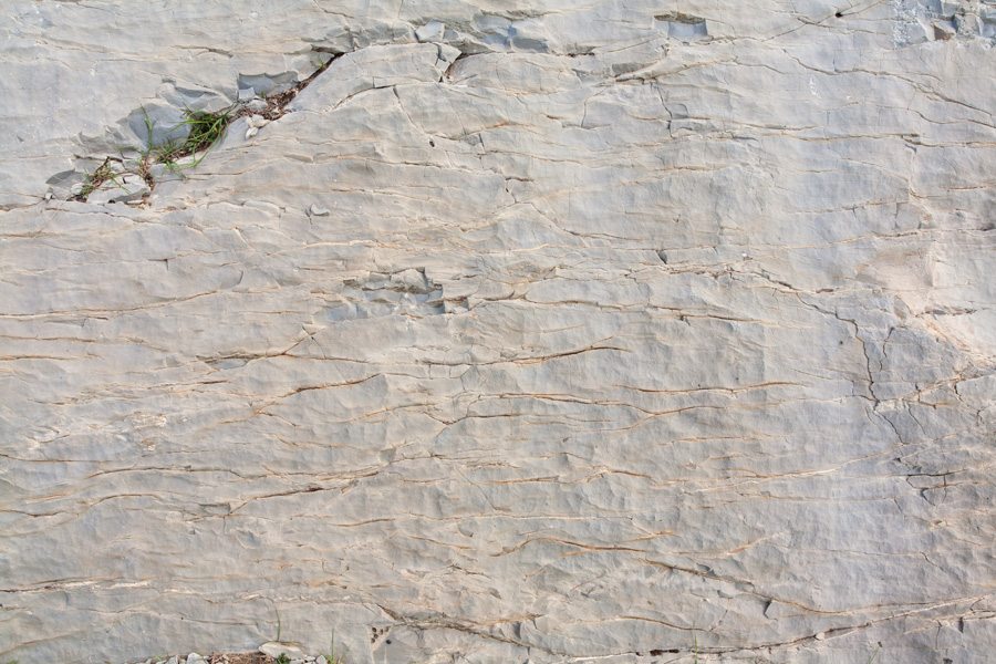
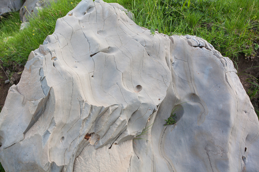
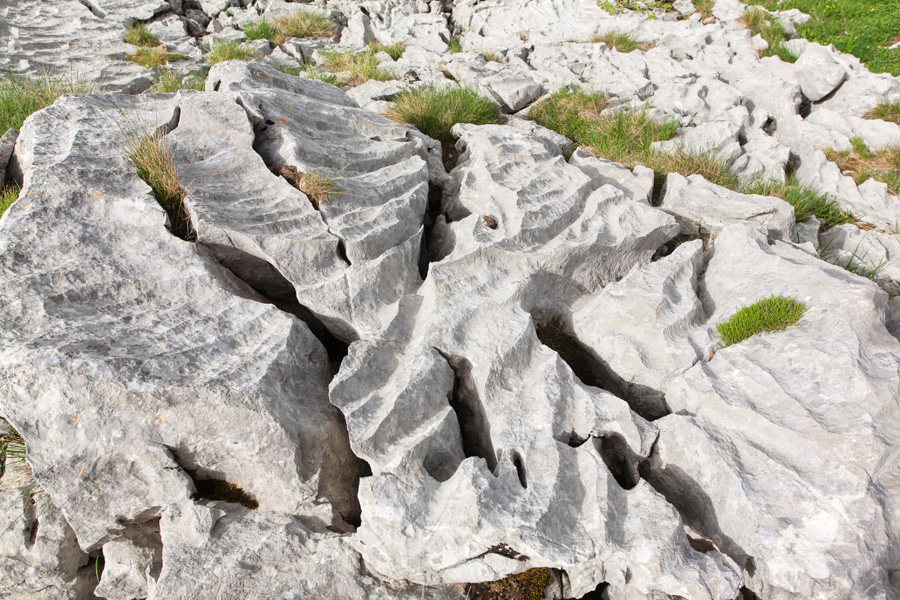
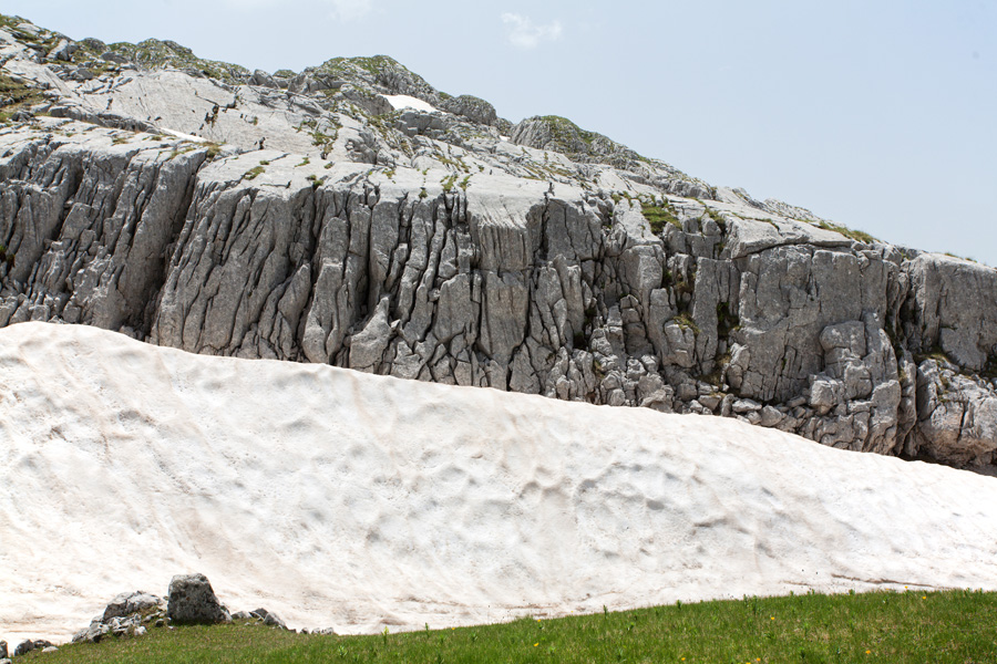
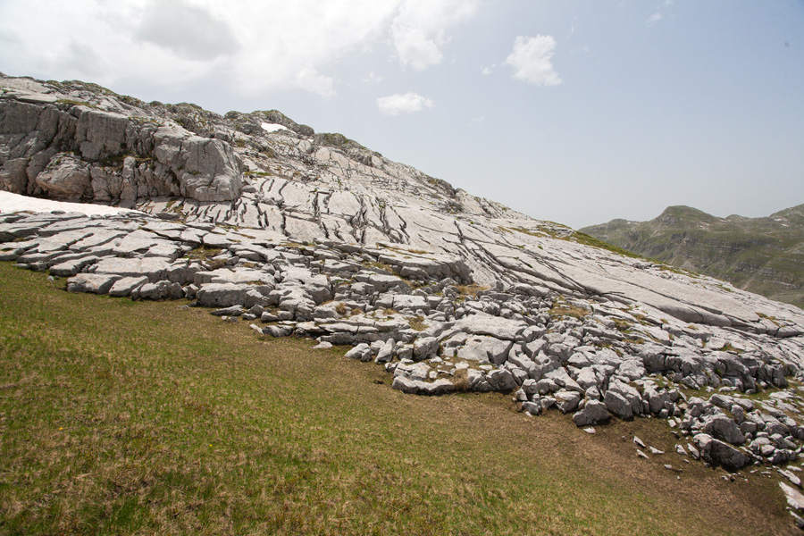
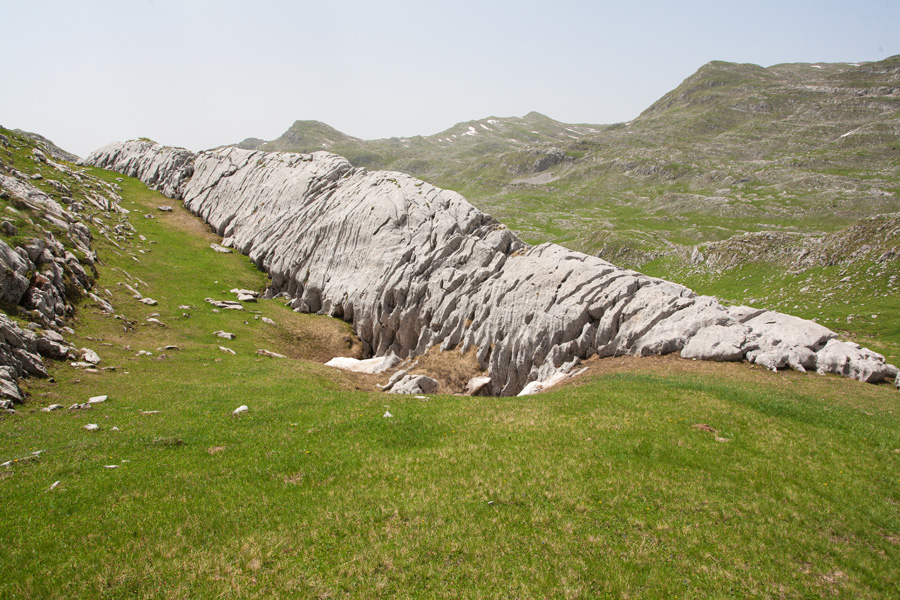
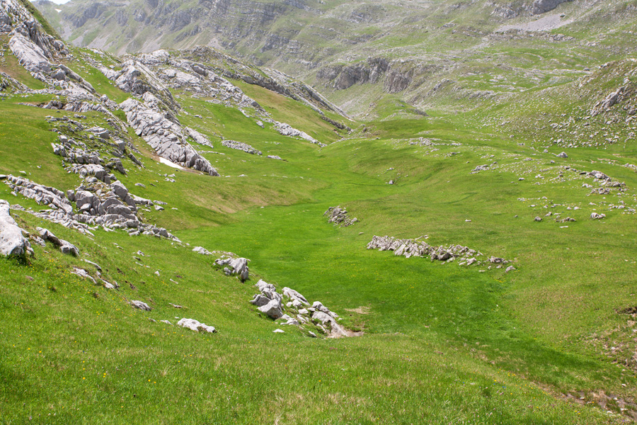
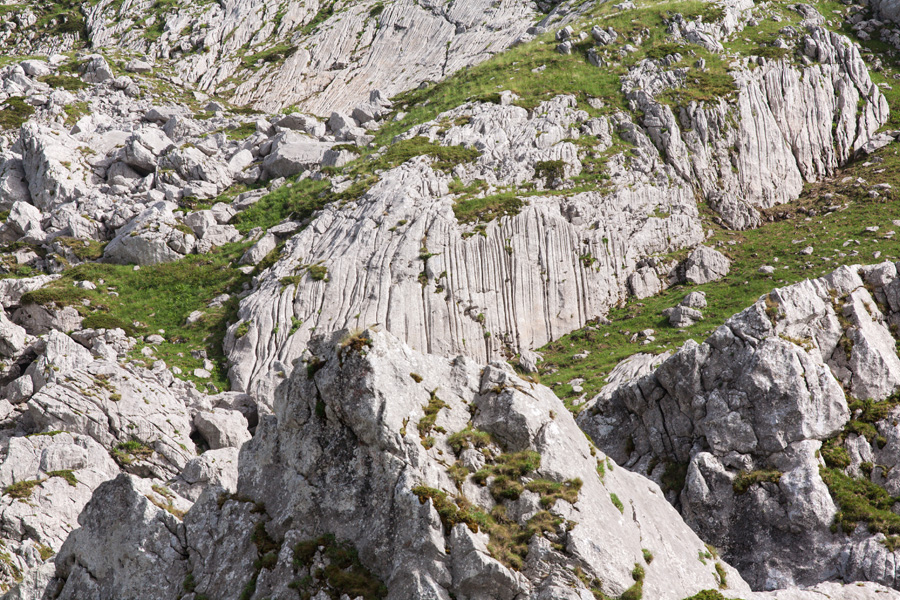
This is a connected mountain range in central Montenegro which was named after river Morača that springs from their foothills. They belong to the well known Dinaric Alps group, and are predominantly formed of limestone rock with characteristic karst features. This is a highly rugged rocky terrain, with lots of steep cliffs and deep canyons. Although beautiful, caution must be exercised while walking close to cliff edges in this particular area as rocks can easily become loose, especially when wet.
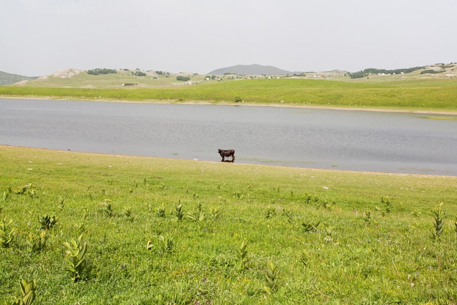
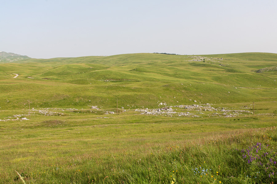
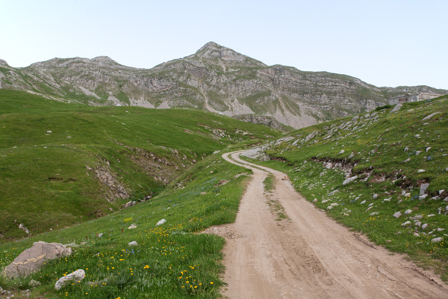
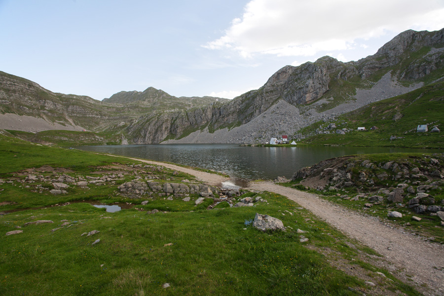
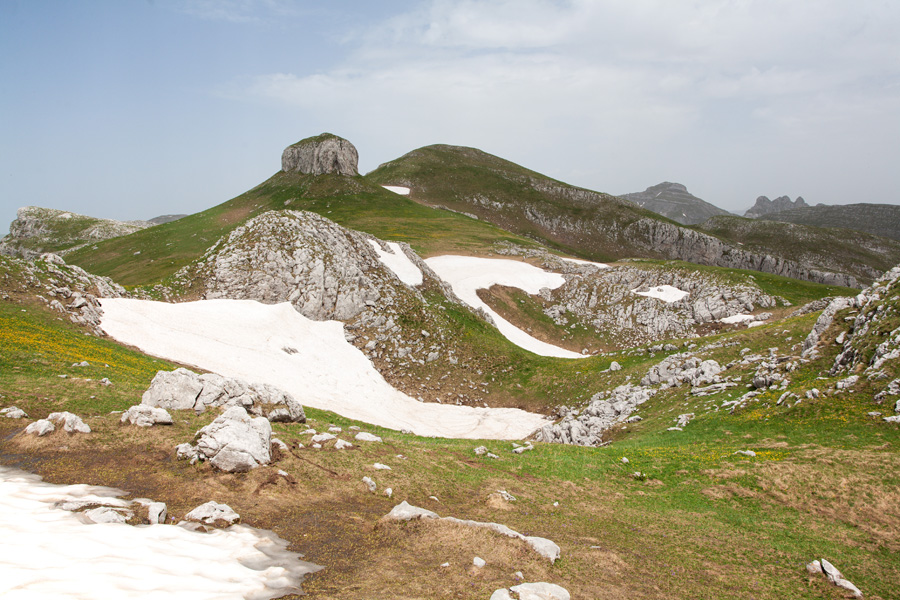
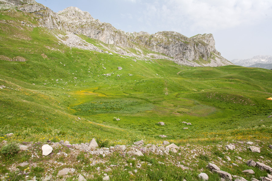
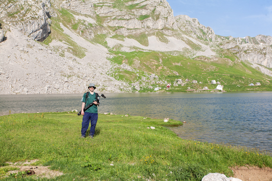
The highest mountain of this range is Kapa Moračka (2227m), and other prominent members are Stožac (2141m), Lola (2129m), Žurim (2035m), Tali (2063m) and others. On the eastern side this range is bordered by deep valley of river Morača, so access is easier from western side. One possible route is an exit from Šavnik-Nikšić road after the Krnovo field. From there, macadam road takes you through the beautiful grassy plains of Konjsko and Lukavica. The road ends at Kapetanovo Jezero (Captain's Lake) at an elevation of 1673m. This glacial lake is located at the foothill of Stožac peak and is famous for its Pleistocene organisms that still live in it.
Photographs are from beginning of June, 2010.
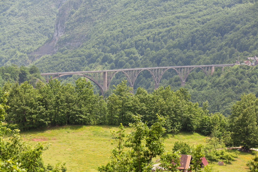
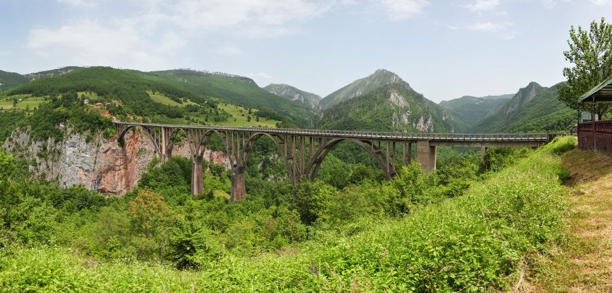
The Bridge on River Tara
En route from Pljevlja city towards the National park of Durmitor mountain you will reach this bridge. It is 365 meters long and its main arc is 150 meters above the water. Construction of this bridge started in 1937, and was finished just before the WWII. At that time it was the second highest bridge in Europe.

Bridge on River Tara downstream view (VR)
A couple of kilometers from here, river Tara enters its most famous part of the canyon. With over 1300 meters of depth at some points, it is the deepest canyon in Europe.

Bridge on River Tara upstream view (VR)
Not too far upstream from here, a very attractive rafting start point is located. Depending on the season, Tara offers various categories of water including grade 5 in spring.

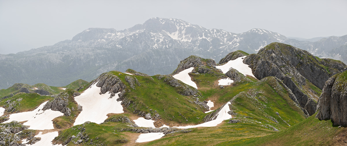
Durmitor mountain from Virak village (VR)
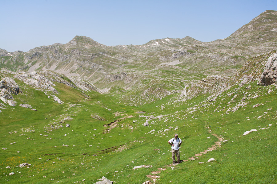
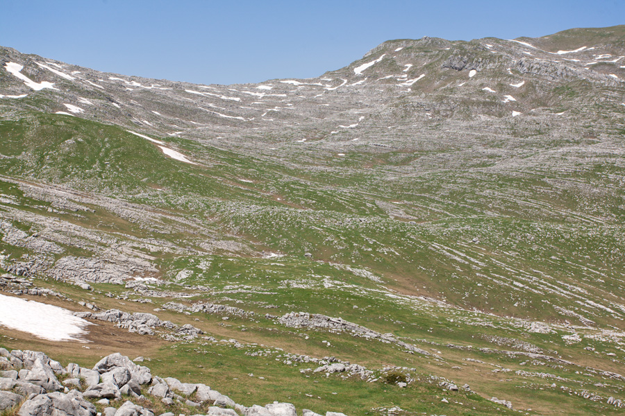
Durmitor is the most famous mountain in Montenegro, and is part of the national park together with Tara Canyon. From this east side of Durmitor stretches the Jezerska Visoravan (Lake Plateau) towards Sinjajevina mountain. Moračke Planine are further to the southeast from here.
Jezerska Visoravan
Another view of Durmitor mountain.

Krnovska Glava Panorama (VR)
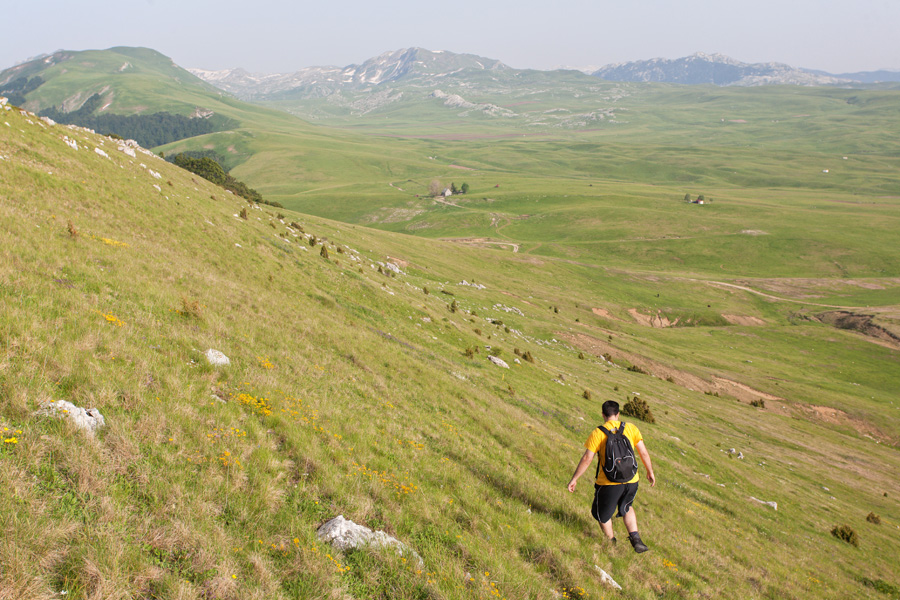
This peak offers nice view of the Krnovsko Polje (Krnovo Field), an interesting karst plateau with average elevation of around 1500m. Šavnik-Nikčić road can be seen below, heavy snowfall often makes it impassable in winter. Moračke Planine can be seen in the east (the sun is currently southwest).


Orlojevac Peak Panorama (VR)
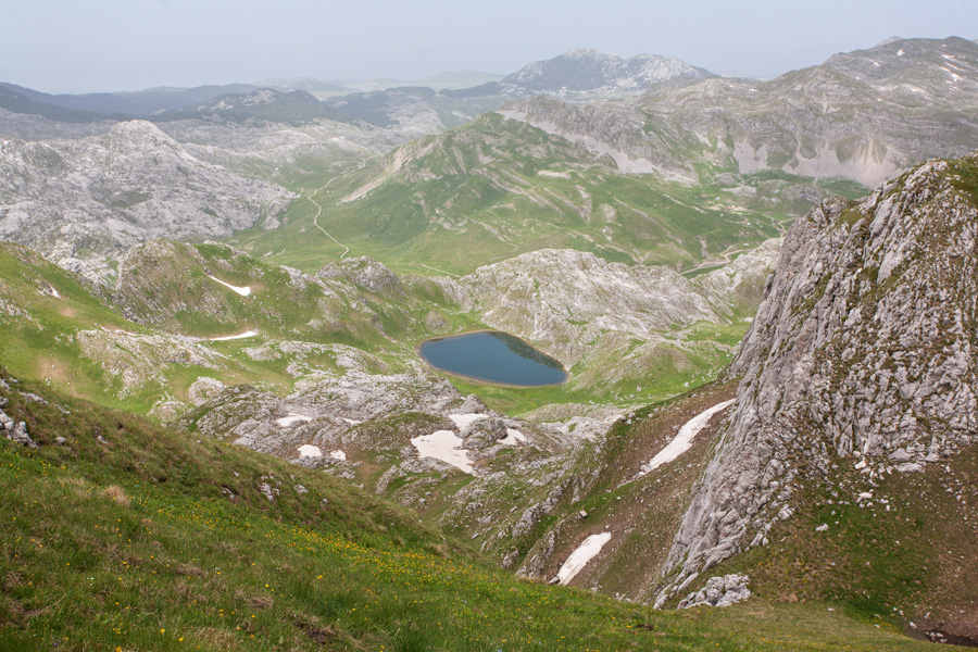
This peak can be reached by a trail that starts at Kapetanovo Jezero and climbs above Manito Jezero, which can be seen from here. This lake is famous for its (alleged) underwater channel that (according to local people) makes the lake bottomless.

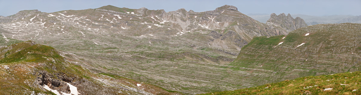
Stožac Peak Panorama (VR)
Stožac is more or less a central peak in this mountain range. It can be reached easily from its close neighbour Orlojevac.
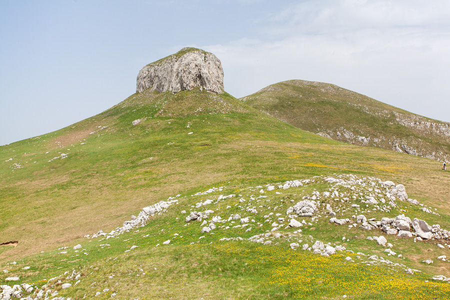
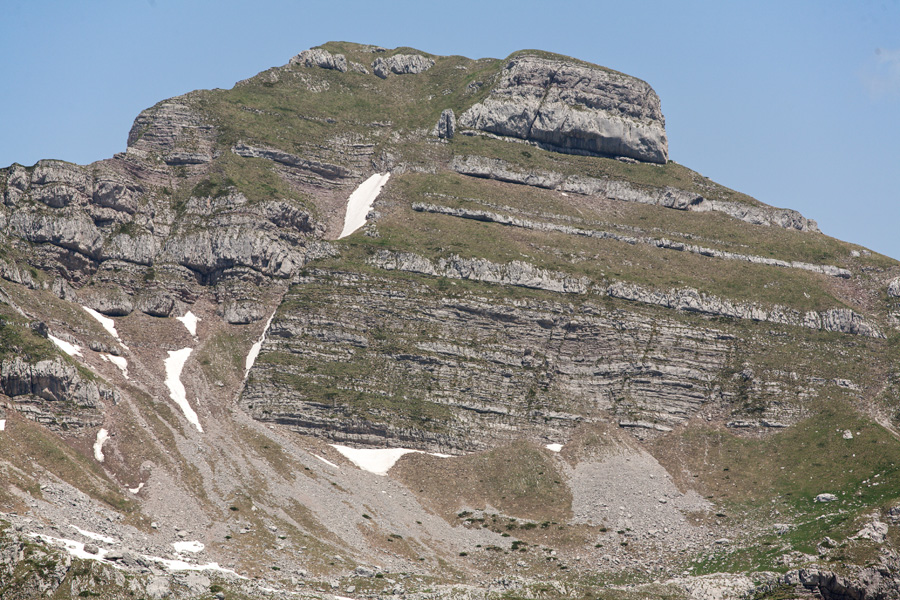
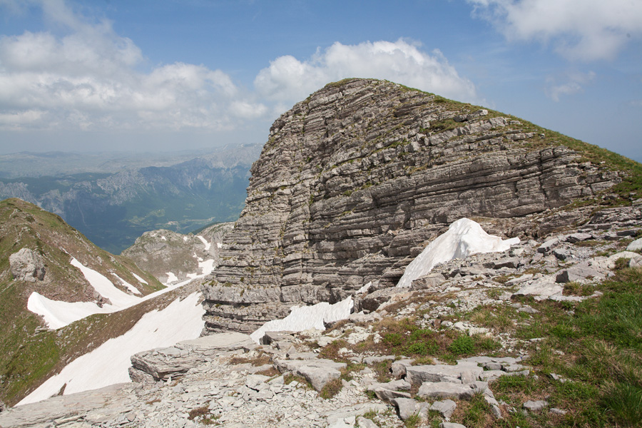
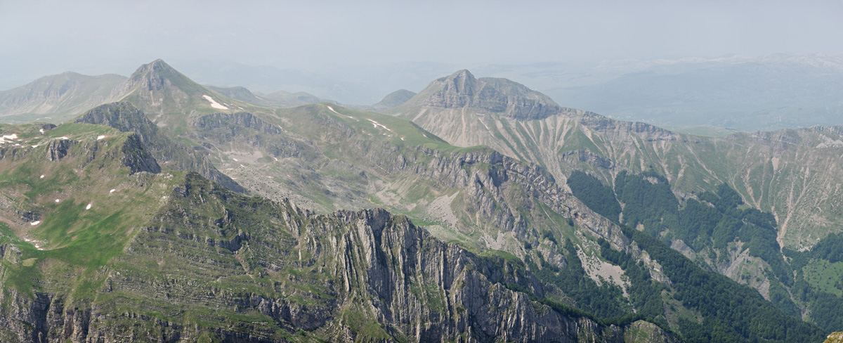
Kapa Moračka from Stožac Peak
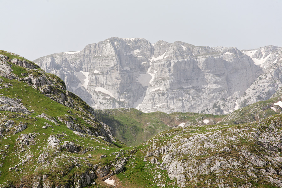
Kapa Moračka is the highest mountain of this range, and is recognized by its distinctive layers of limestone rock. It has two peaks: Lastva (2227m, green hump on the left) and Zagradac (2217m, big rock with an overhang).
Very large size image (Deep Zoom)
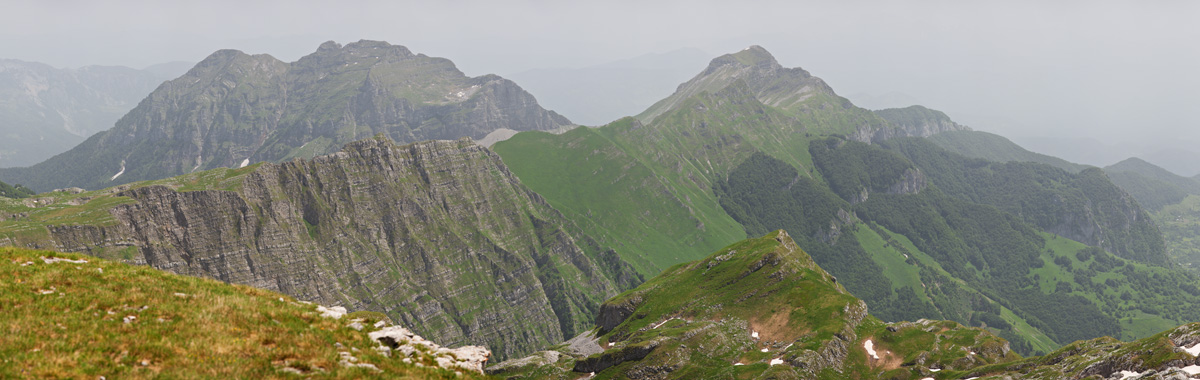
Maganik Mountain from Stožac
South from Moračke Planine lies Maganik, the least explored mountain in Montenegro. Its highest peak is Međeđi Vrh (Bear's Peak, 2139m). Extremely rugged terrain and absence of water makes this mountain difficult to access, and it still hides forests with endemic trees that no man has ever entered.
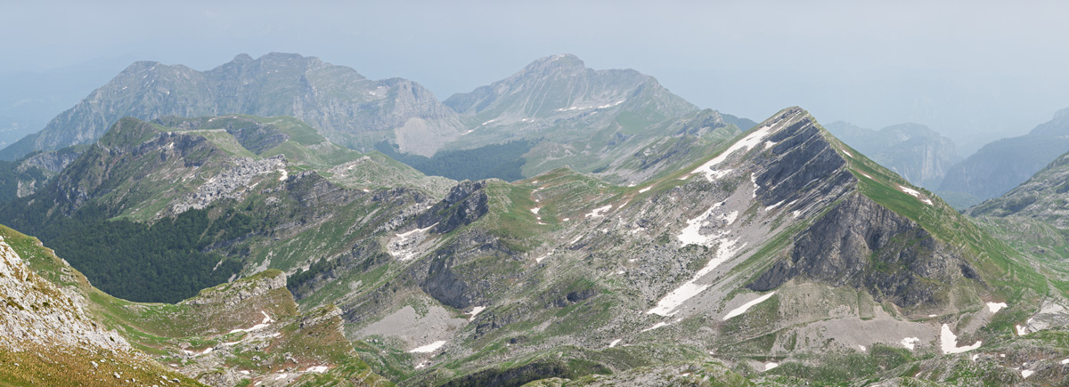
Tali and Lukanje Čelo from Stožac
Tali (on the left) and Lukanje Čelo (right) are the two easternmost mountains of this range, and behind them is the deep valley of river Morača. When observed from the road descending into Morača valley, Tali looks very impressive as its prominence is over 1600m above the river bed.
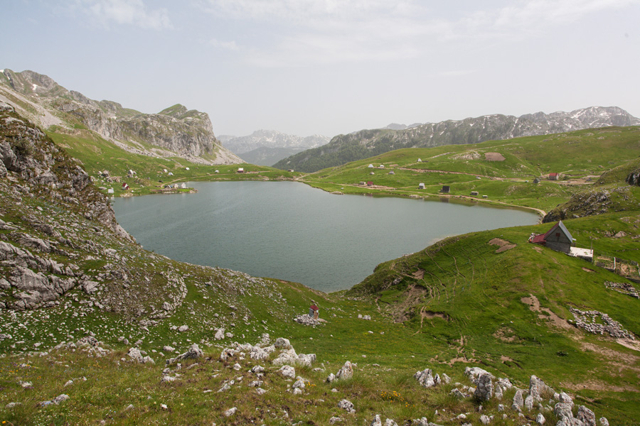

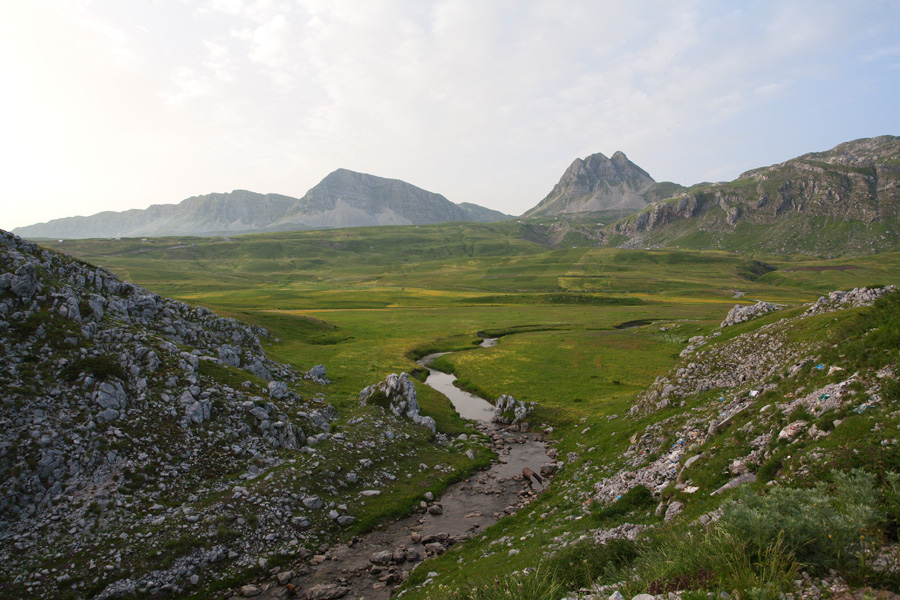
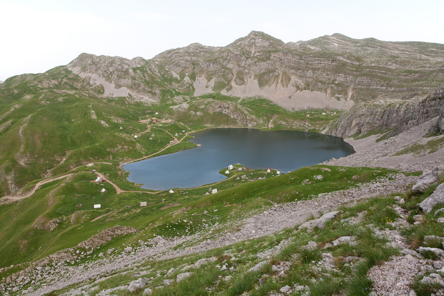
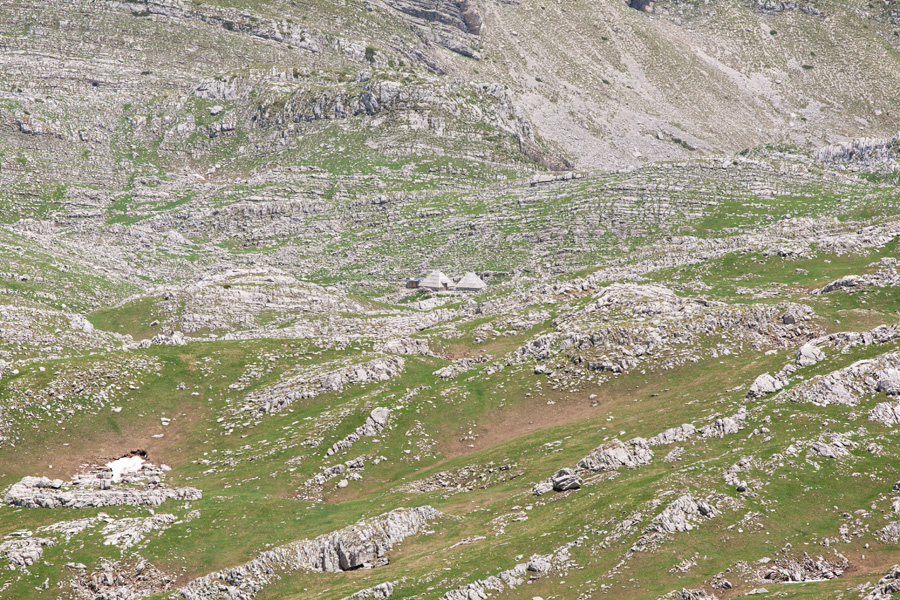
Kapetanovo Jezero (Captain's Lake) (VR)
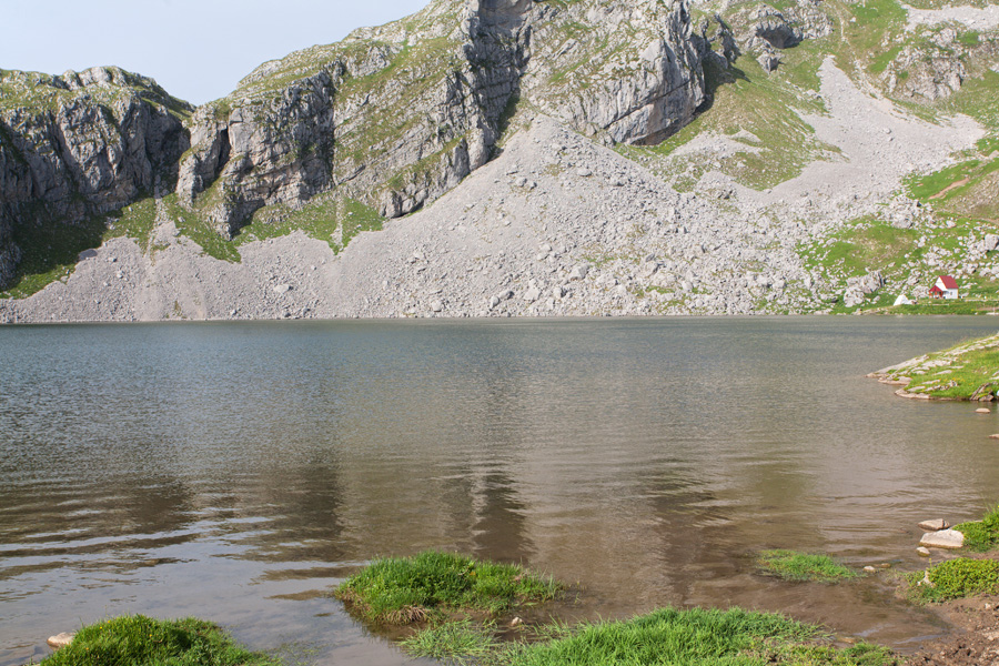
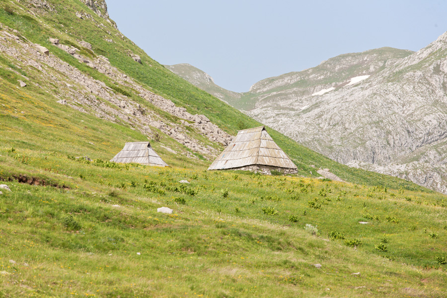
This glacial lake at 1673m of altitude is just below Stožac peak. It is an excellent base camp because it can be reached by macadam road, and many climbing trails start from here. Many years ago this place was inhabited only by cattle herders during summer, and stone remnants of their huts can be seen around. There are only a few of them left today.

Kapetanovo Jezero (Captain's Lake) (VR)
The lake is around 70m deep, and is under protection for its Pleistocene organisms that still live in it. On one occasion this population was almost destroyed by locals who introduced some fish into the lake. Fortunately, an action to restore the previous state of the fauna was carried out and further damage was (hopefully) prevented.

Krstac Panorama (VR)
North from Kapetanovo Jezero a trail climbs up through the passage called Radojeva Prodo. On top of this passage is a saddle called Krstac. The peak with a sharp vertical rock is called Vojnovac. In the distance Sinjajevina mountain can be seen, with its highest peak Babin Zub (Grandma's Tooth, 2277m). The trail towards Kapa Moračka foothill is entering a chaotic rocky maze from this place.

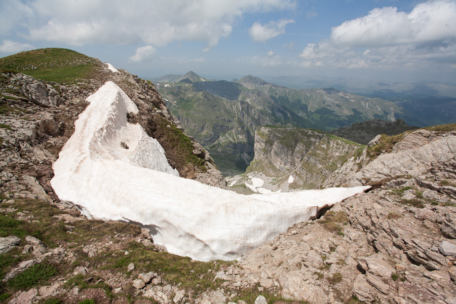
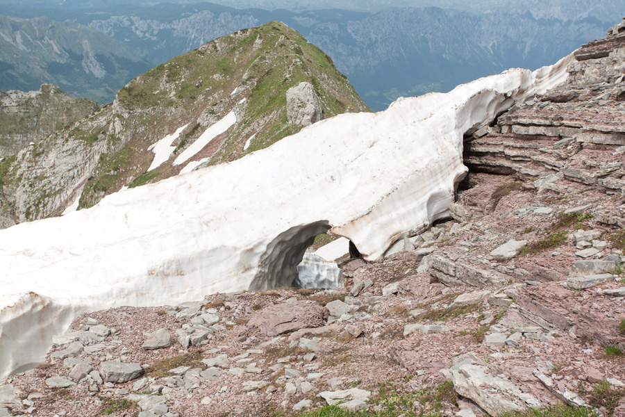
Lastva Peak Foothill (VR)
You can navigate this place only in days without fog, otherwise you are bound to get lost in this harsh rocky desert. And even on clear days you should be careful because distance perception is not reliable in such environment.

Lastva Peak Foothill (False Color) (VR)
The same panorama but rendered in false red color. With the exception of clouds, it can readily pass as a landscape on Mars.

Lastva Peak Panorama (VR)
With 2227m this is the highest peak of this mountain range. Word "Lastva" is of Celtic origin, and is translated as "The grassy plain where horses are browsing". The spring of river Morača is somewhere in the deep valley below.

Lastva Peak Panorama (VR)
The same panorama, but with a narrower field of view for slightly better resolution of distant objects.
Lola Mountain from Lastva
Lola also belongs to Moračke Planine, it's highest peak is called Veliki Zebalac (2129m, on the left).
Tali, Lukanje Čelo and Vojnovac from Lastva
Behind Vojnovac and to the right, the canyon of river Mrtvica can be seen. Mrtvica springs between Stožac and Vojnovac, and descends into a deep valley where the small village called Velje Duboko is. From there it enters its spectacular canyon which can be traversed on foot using a trail carved out in the rock by military engineering units.

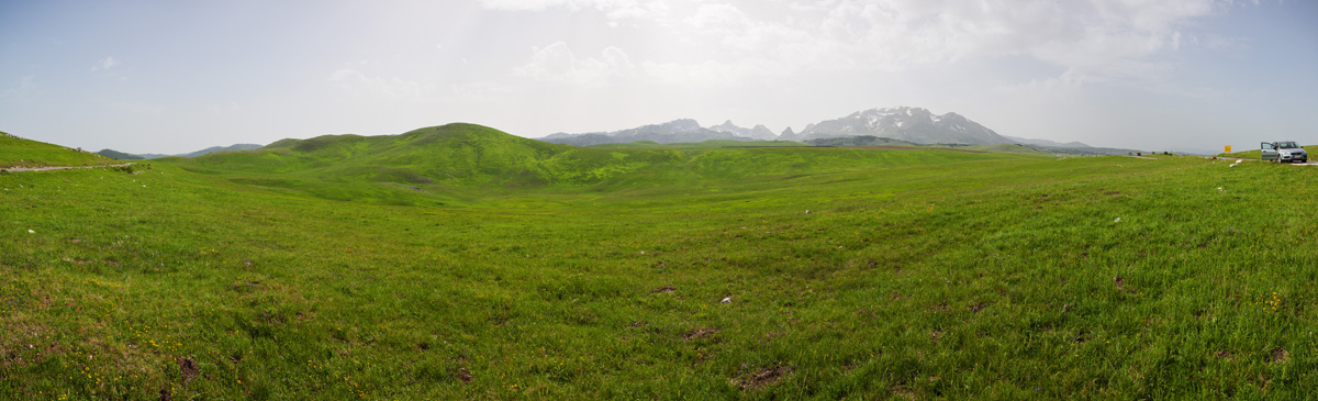
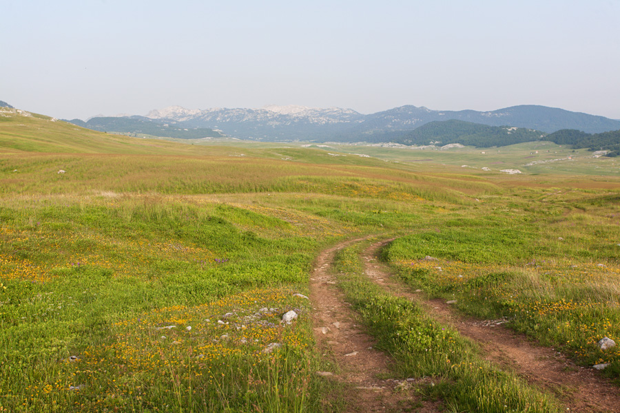
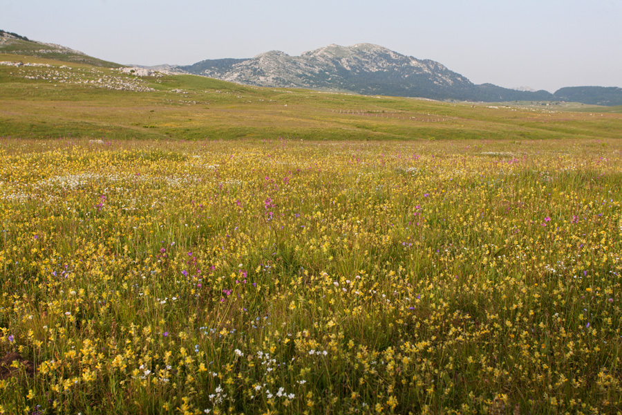
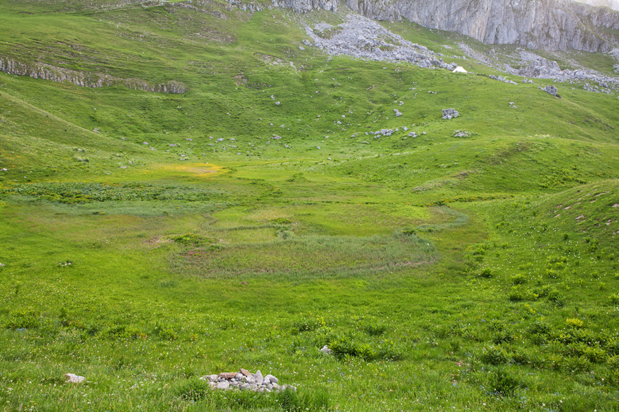
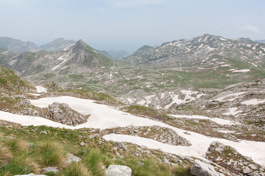
Lukavica Plain, Morning Panorama (VR)
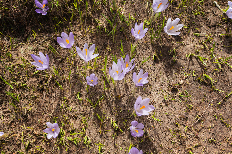
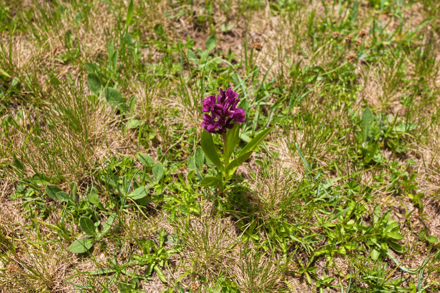
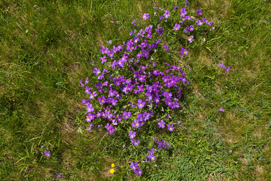
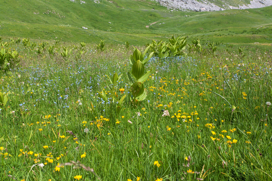
Lukavica plain is below the Žurim Mountain, and to the west from Kapetanovo Jezero. In the spring its gets covered by beautiful carpet of flowers.
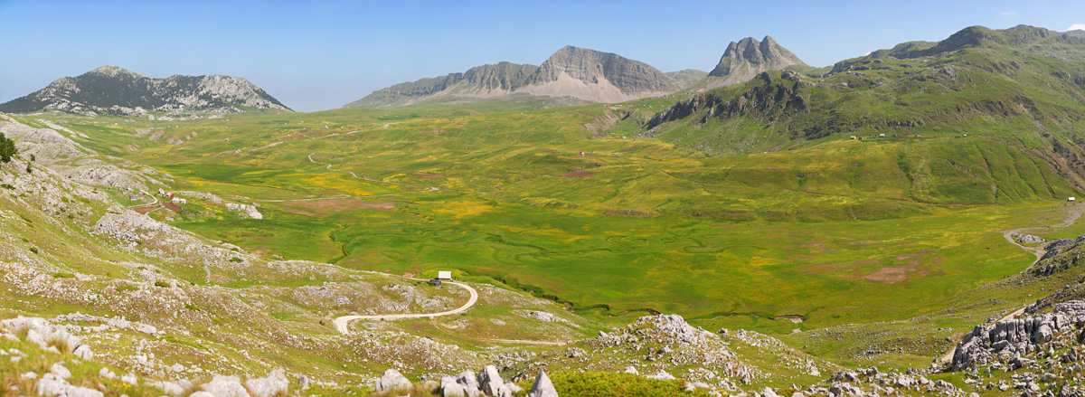
Lukavica Plain and Žurim Mountain, Morning Panorama
Žurim has two peaks, Great Žurim (2035m, triangle shaped on the left) and Small Žurim (around 1970m, with three crests on the right).
Very large size image (Deep Zoom)

Lukavica Plain, Afternoon Panorama (VR)
The same panorama but with afternoon shadows.
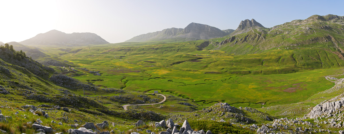
Lukavica Plain and Žurim Mountain, Afternoon Panorama
The same panorama but with afternoon shadows.