Komovi Mountains, May - June 2012.
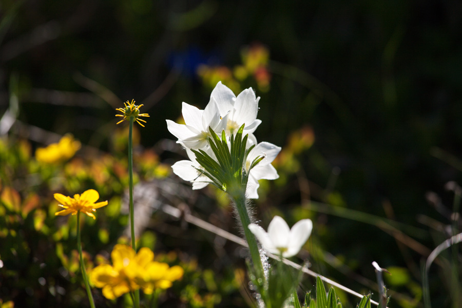
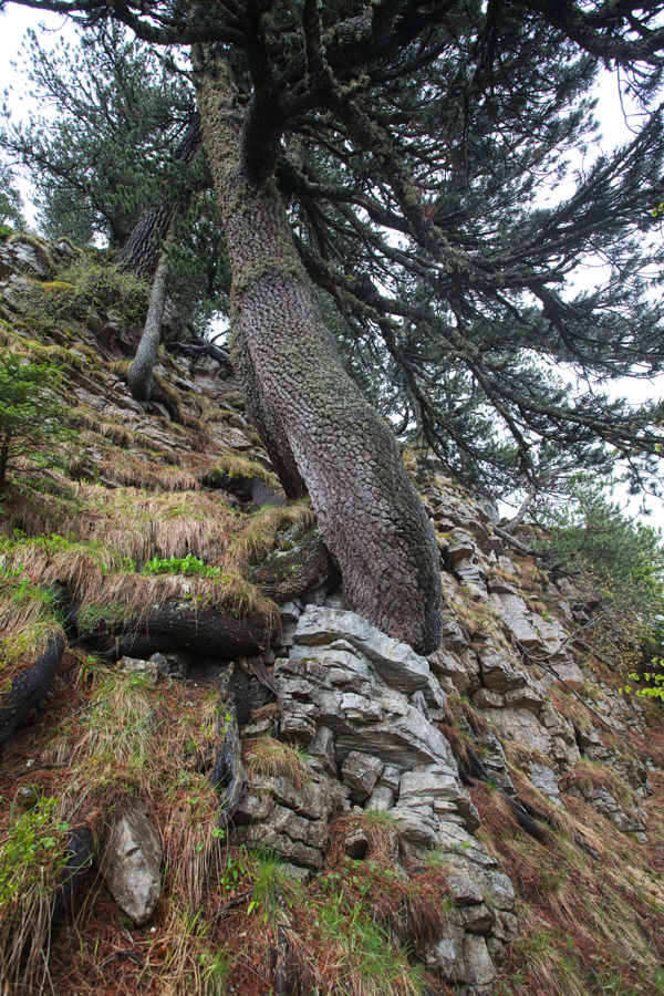
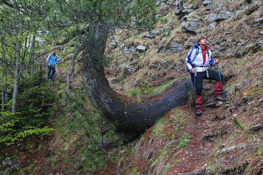
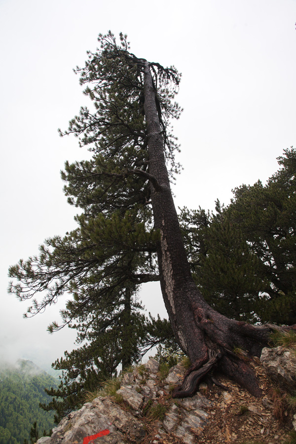
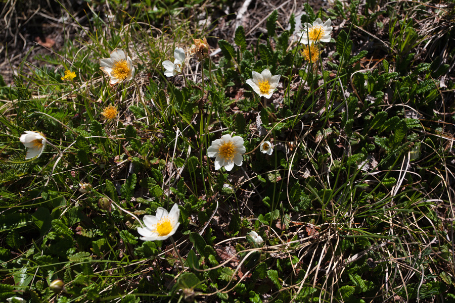
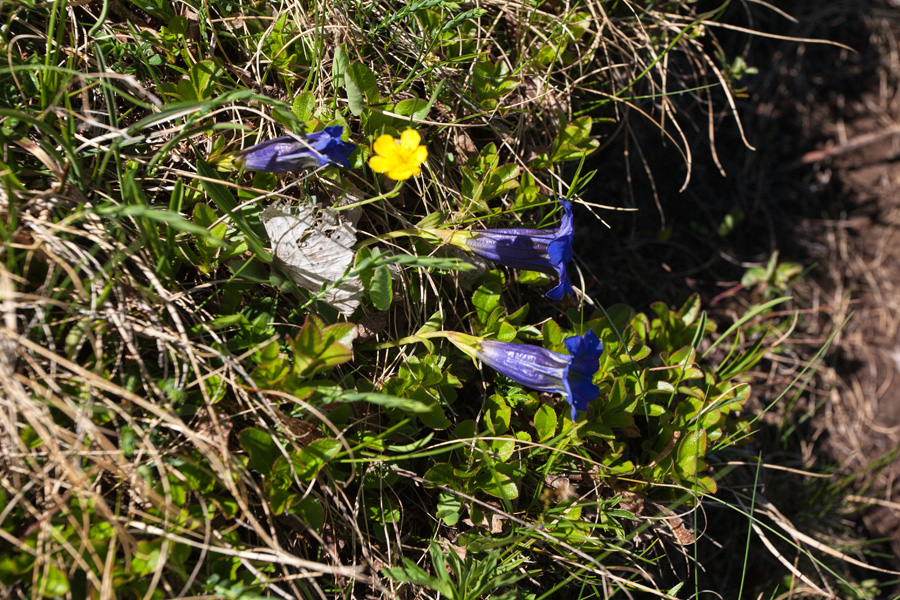
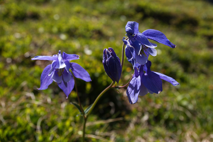
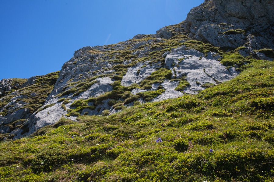
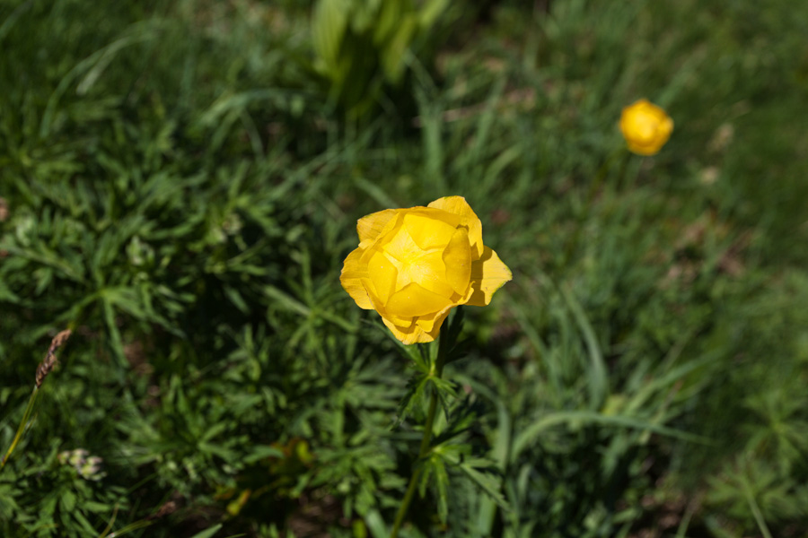
Komovi (plural of "Kom") are a prominent mountain in the eastern Montenegro, close to the Albanian border. They are another member of the rocky Dinarides, sharing all their common features. Komovi have two distinct peaks, Kom Vasojevićki (2460m) and Kom Kučki (2487m). Between them is a distinct glacial cirque called Međukomlje. Due to their prominence, Komovi are known for strong winds and avalanche activity in winter, and these effects can be seen on vegetation struggling to survive in this harsh place.
Base camp for climbing Komovi is usually the plain of Štavna (approx. 1750m), which can be reached by car from Andrijevica using the Andrijevica - Kolašin road. At the saddle of Trešnjevik (1573m) a small road departs for Štavna and ends up at "Eko Katun Štavna" where you can rent a hut with 5 beds, bathroom and electricity. Other options are the old wooden hut of the Mountaineering Association of Železničar from Belgrade (no water or electricity but you can use it for free), or setting up your own tent.
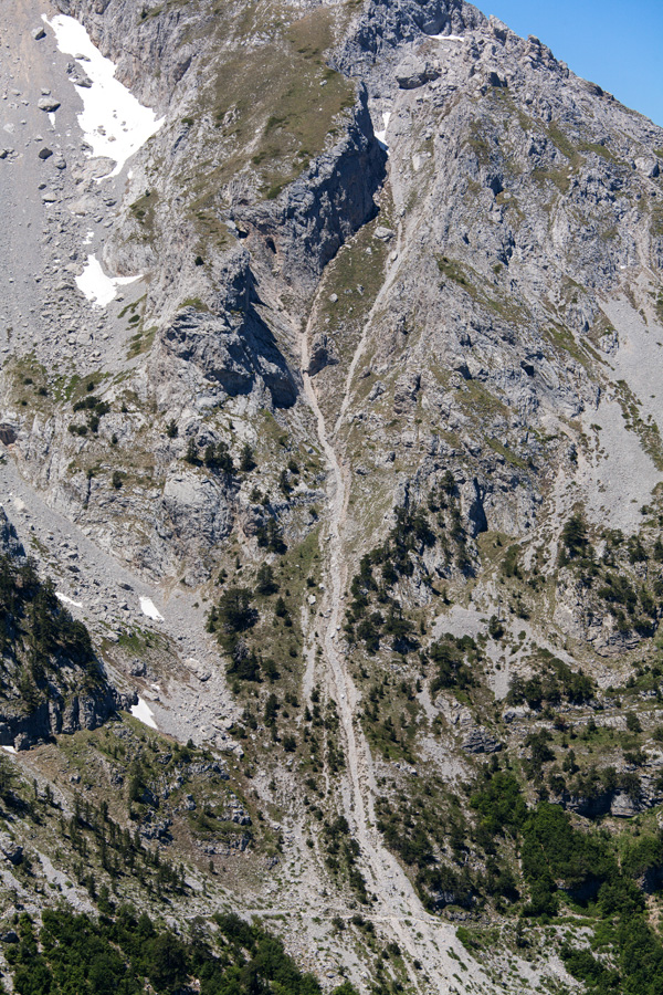
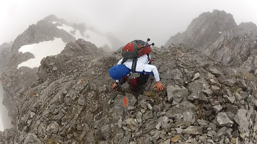
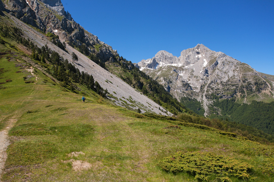
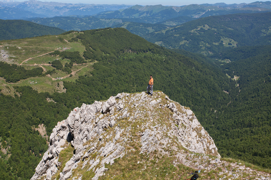
Climbing Komovi is very attractive to skilled mountaineers, and recently the trail markings have been improved significantly. The trail to the closer Vasojevićki Kom is steep but not technically difficult in summer. Kom Kučki is further away and you need to pass through Međukomlje to reach it. There are some exposed and narrow parts of the ridge at the final stages of the climb where you need to use your hands and be very cautious. Most climbers find this very attractive, while others might experience vertigo. Northern peak of Kom Kučki is referred to as Ljevorečki Kom and is accessed by a separate trail from the north. This climb is considered even more demanding than that of Kučki Kom, and requires careful approach and experience. These mountains are treacherous in winter, climbing is very demanding and requires skill and full safety equipment.
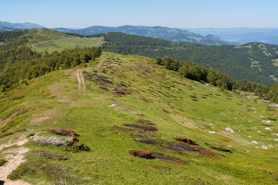
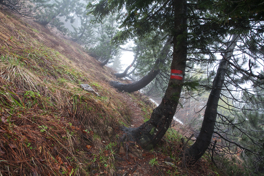
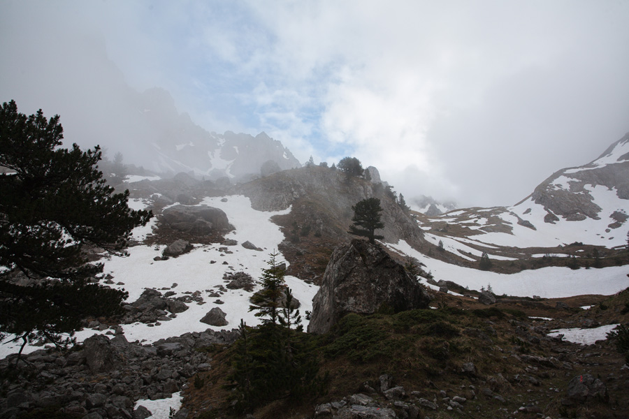
Walking through the forest of Vasojevićki Kom
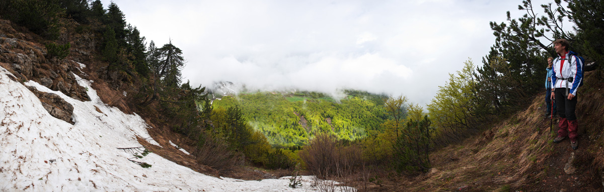
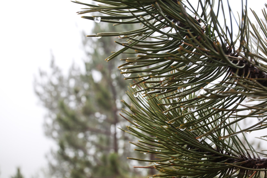
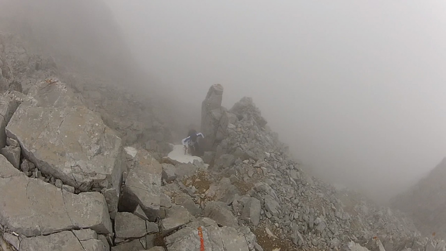
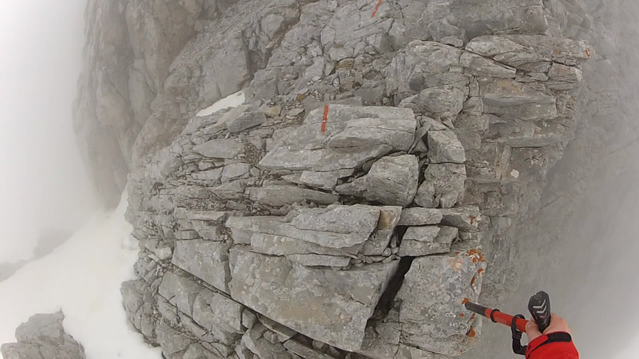
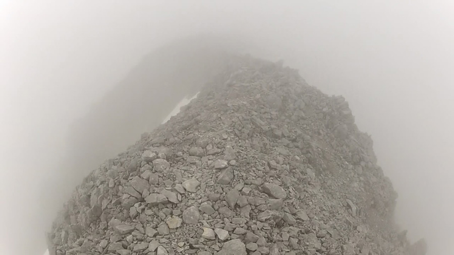
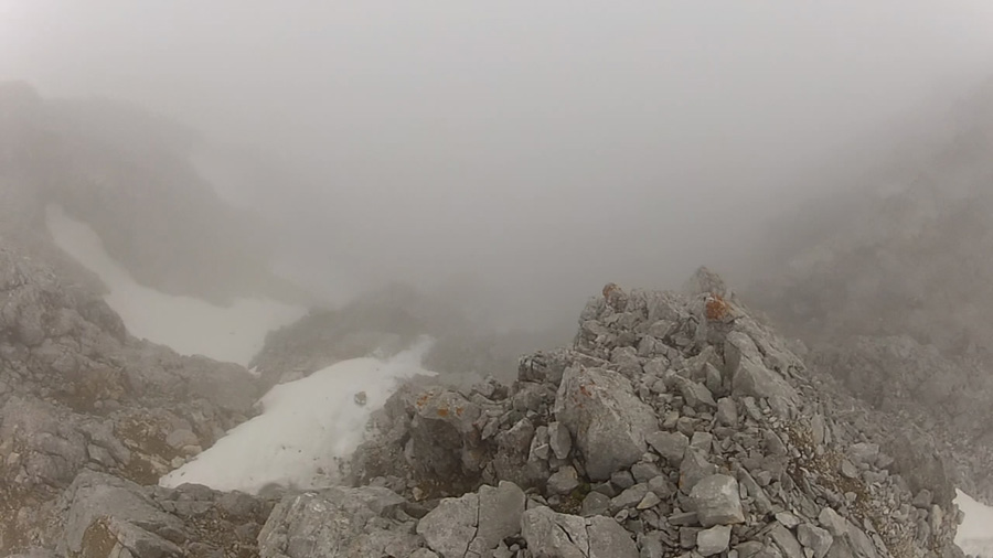
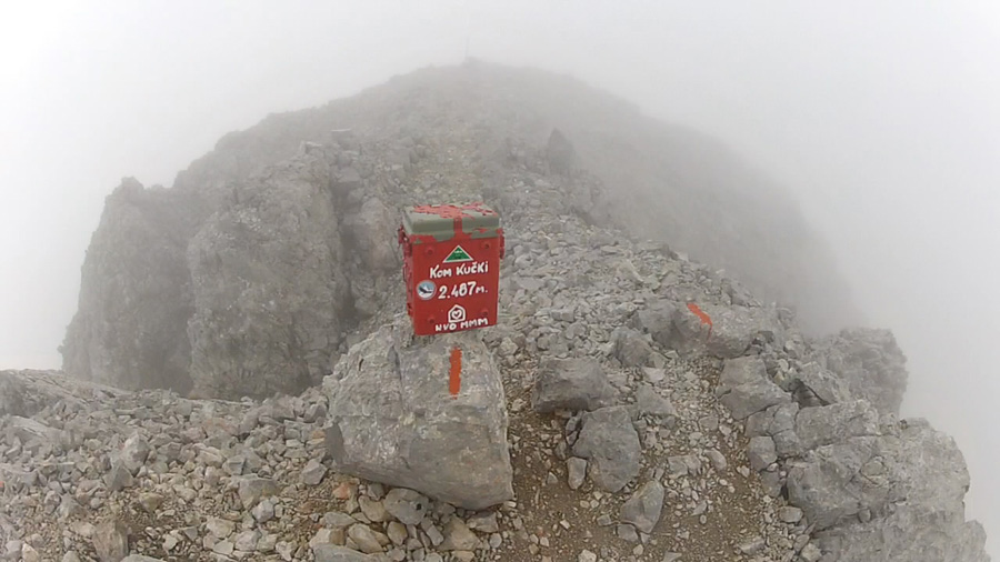
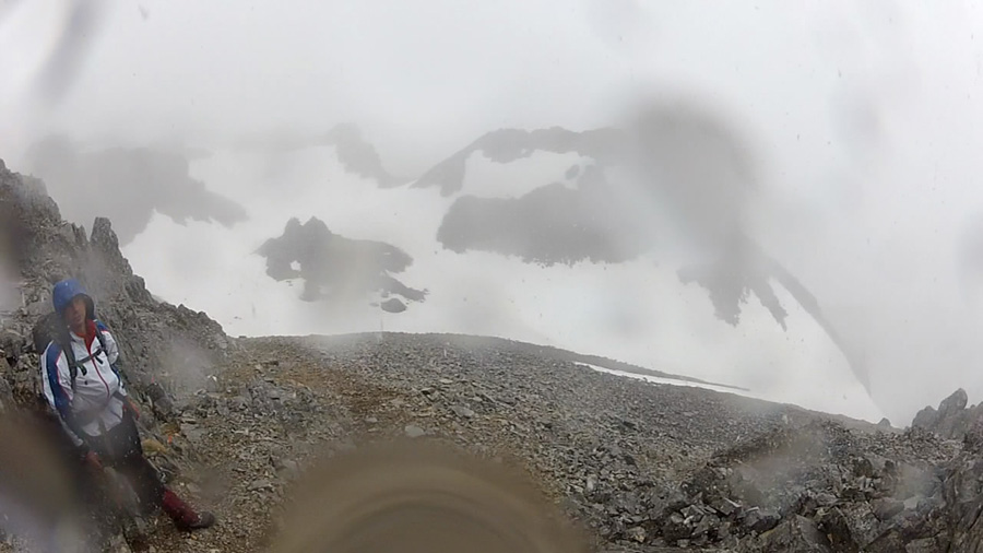
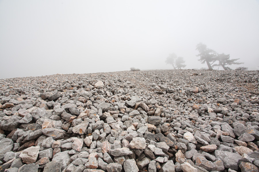
Two friends and me made an attempt to climb Komovi around the end of May. The weather turned out very ugly, the whole mountain was in the cloud and it rained most of the time. Luckily there was very little wind and we managed to climb the Kom Kučki peak (images below are from GoPro camera), thanks to good clothes and a well marked path which helped us a lot in poor visibility.


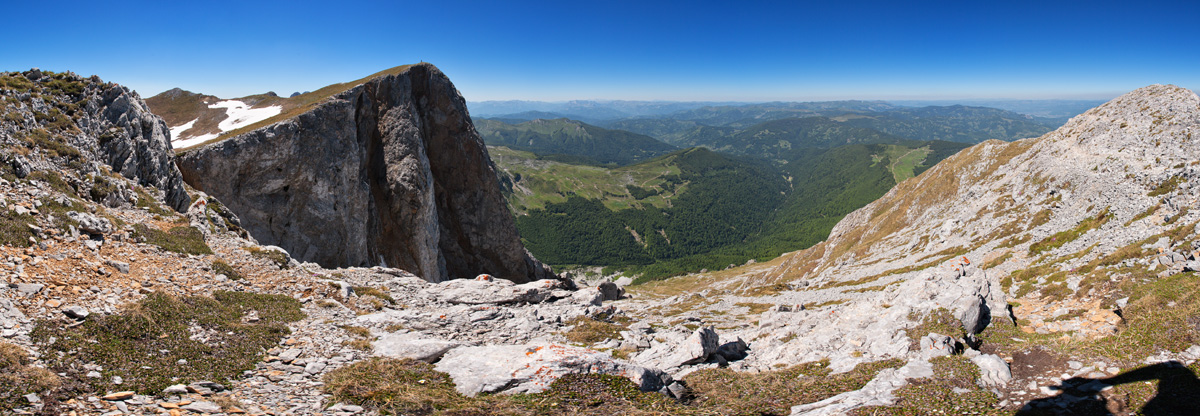
Međukomlje Panorama (VR)
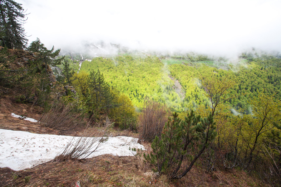
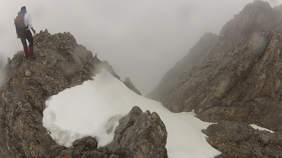
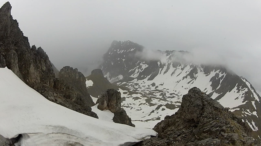
We were forced to descend quickly from Kom Kučki peak, as the sudden snow storm threatened to make the rocks slippery and dangerous. It lasted for a while until we reached the saddle of Carina, headwall of the Međukomlje cirque. The weather partially cleared later, and this is how Međukomlje looked like.
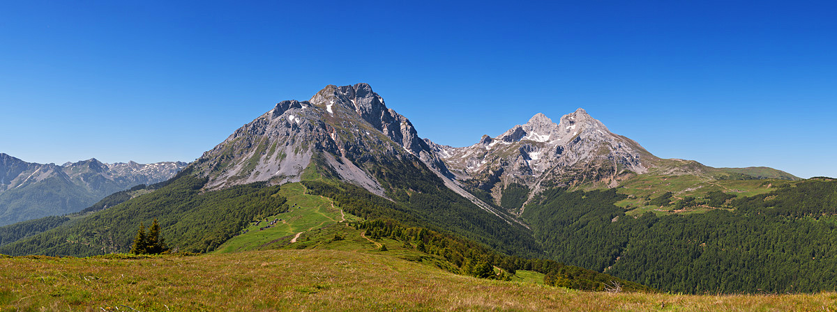
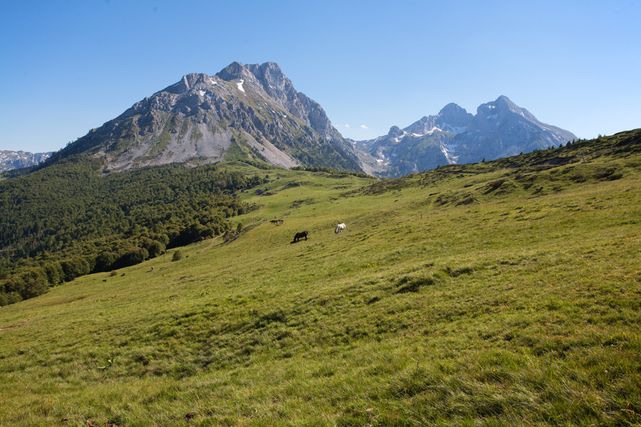
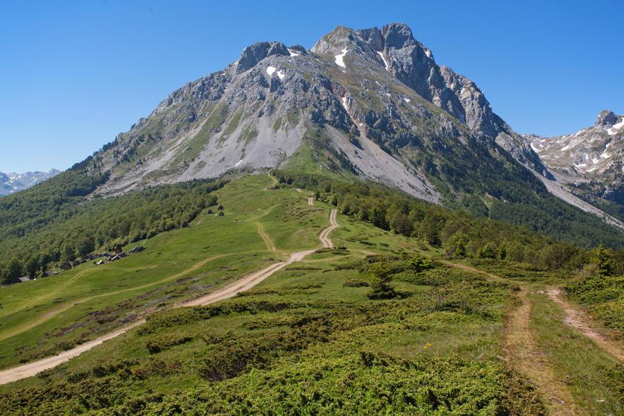
Komovi from Cmilica, peak of Štavna
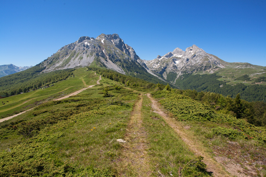
On my next visit to Komovi in June the weather was significantly better. Kom Vasojevićki is on the left, and kom Kučki is on the right side.

Komovi from Cmilica, peak of Štavna (VR)
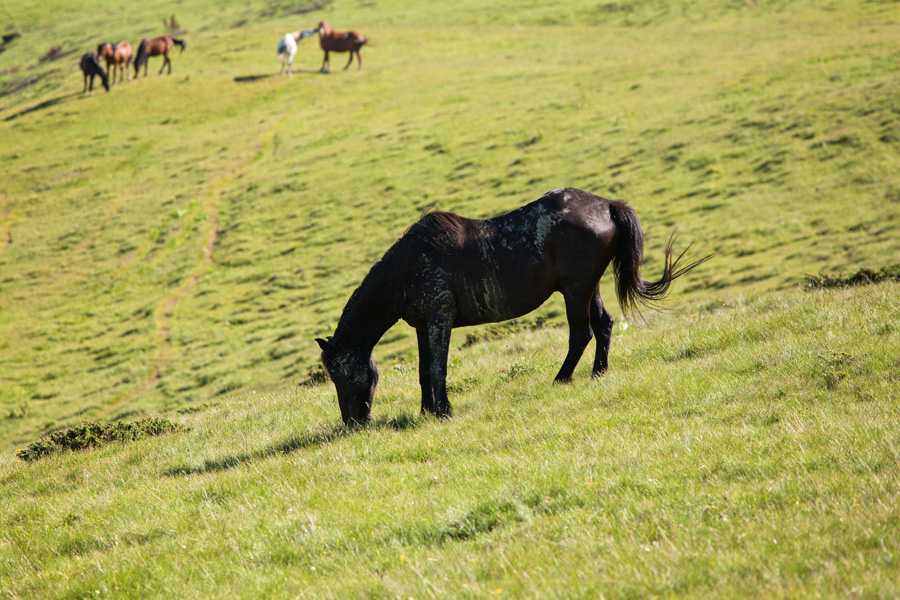
The grassy plain extending in front of Kom Vasojevićki is called Štavna, and the similar plain of Kom Kučki is called Ljuban. In the past they were used exclusively by shepherds who built their summer huts here (called "katuni" or "stanovi" (plural)). They are still around today, but the place itself is becoming more of a tourist attraction.

Vasojevićki Kom Peak Panorama (VR)
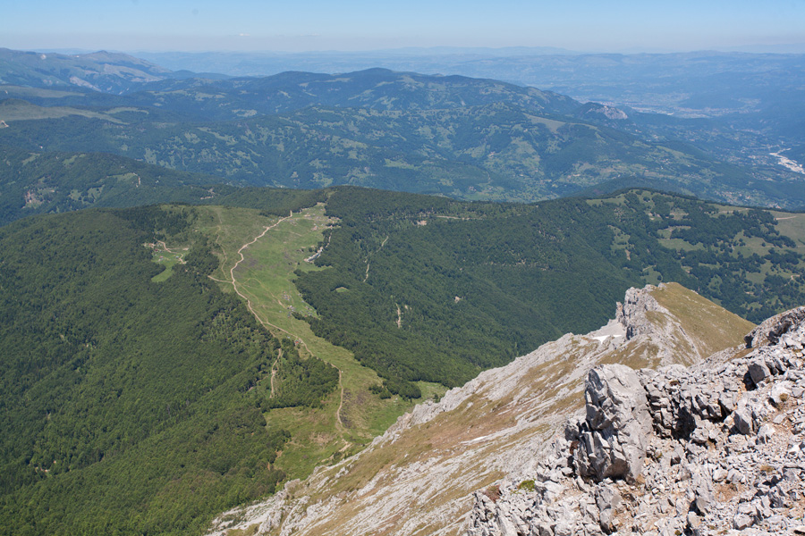
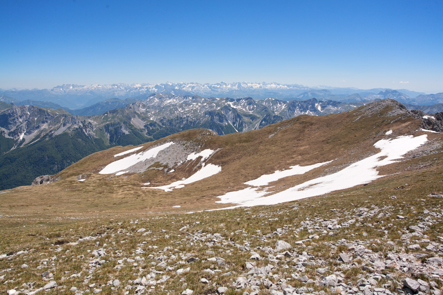
On clear days one can see half of Montenegro from here, and northern Albania. To the right of Kom Kučki lie mountains of central Montenegro: Maganik, Moračke Planine, Sinjajevina, Durmitor. On the opposite side is the rugged, snow covered mountain chain of Prokletije, on the border between Montenegro, Serbia and Albania.
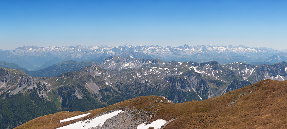
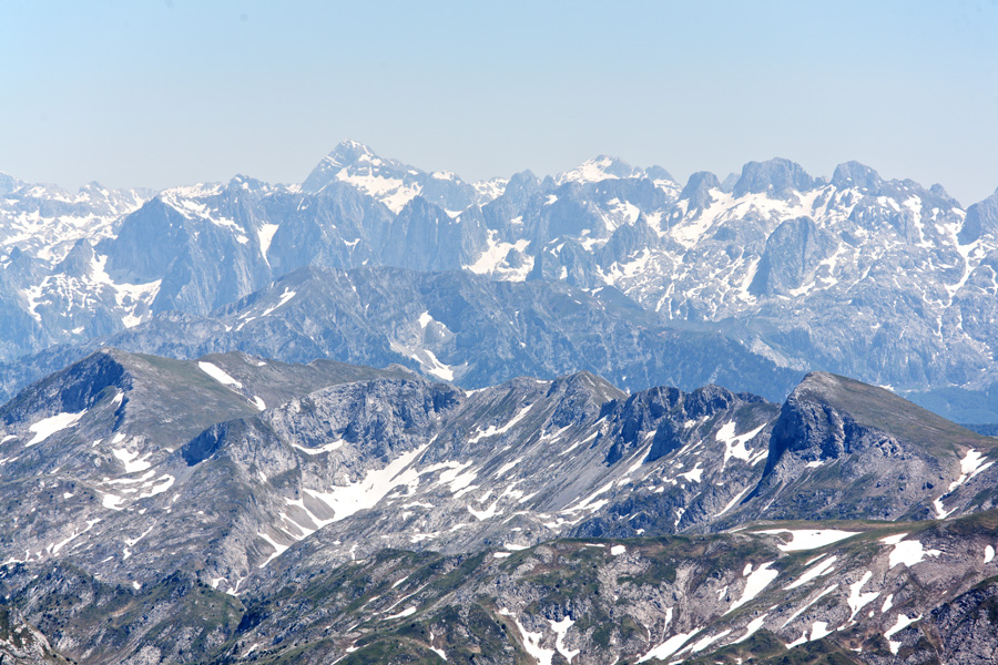
Vasojevićki Kom, View of the Prokletije Mountains
Prokletije (translated from Serbian: "The Cursed Mountains", in Albanian: "Bjeshkët e Nemuna") are the highest and most rugged member of the Dinarides group. The highest peak Maja Jezerce 2694m (translated from Serbian: "The Lake Peak") is located in Albania, close to the border with Montenegro.
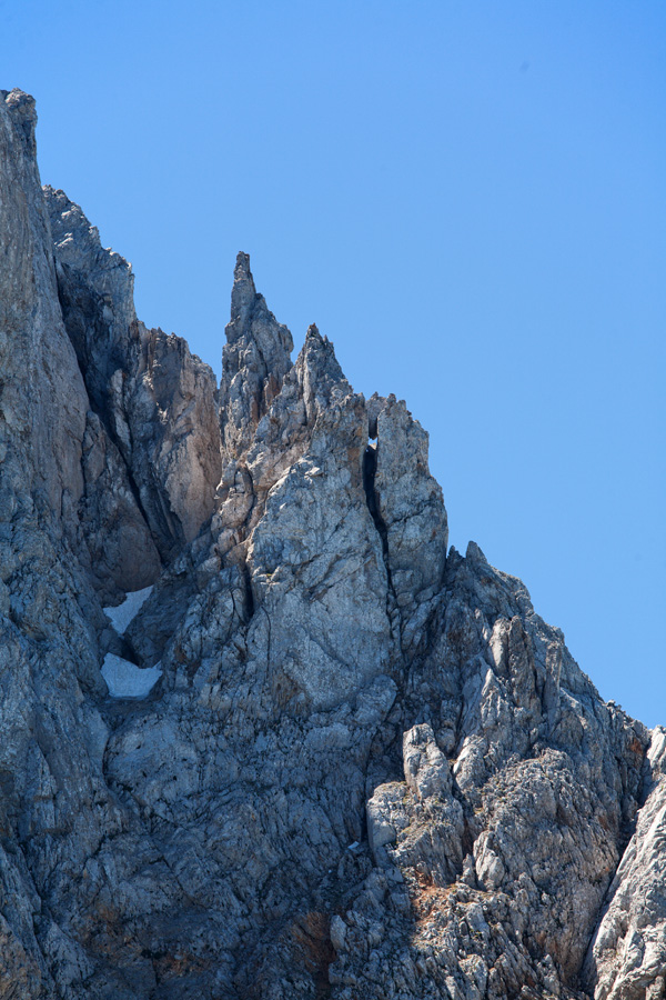
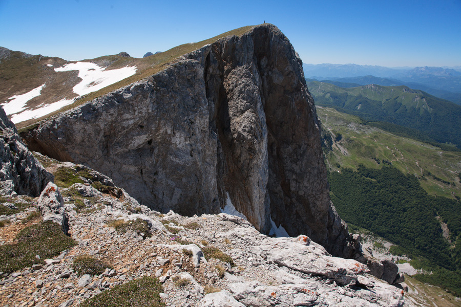
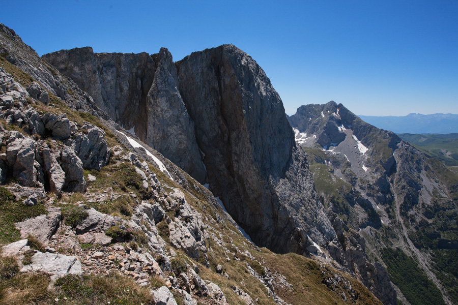
Vasojevićki Kom Cliff
The monumental northern cliff of Kom Vasojevićki.