Crna Gora (Montenegro), February 2026.
The climate change is evident, some decades ago it would have been unthinkable that you could drive over these mountains in winter like a regular tourist. Either way, I used the opportunity to capture this beauty.
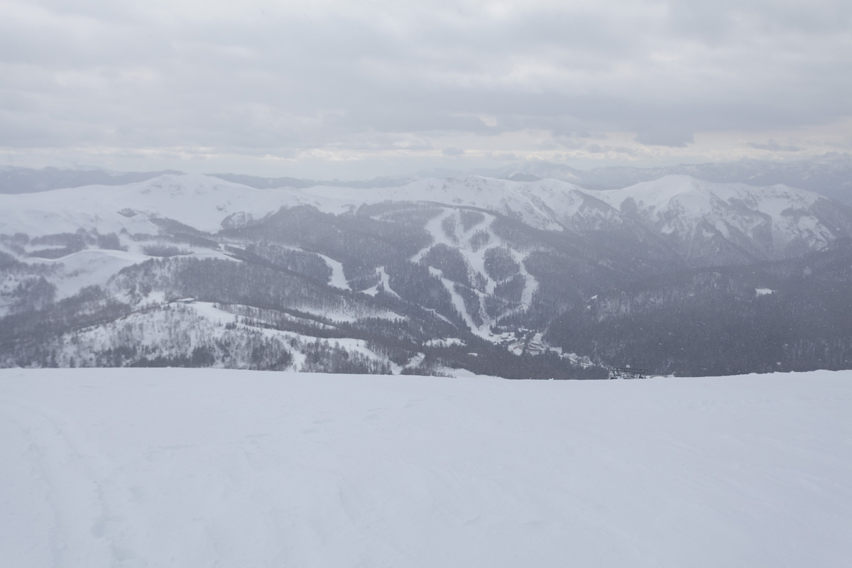
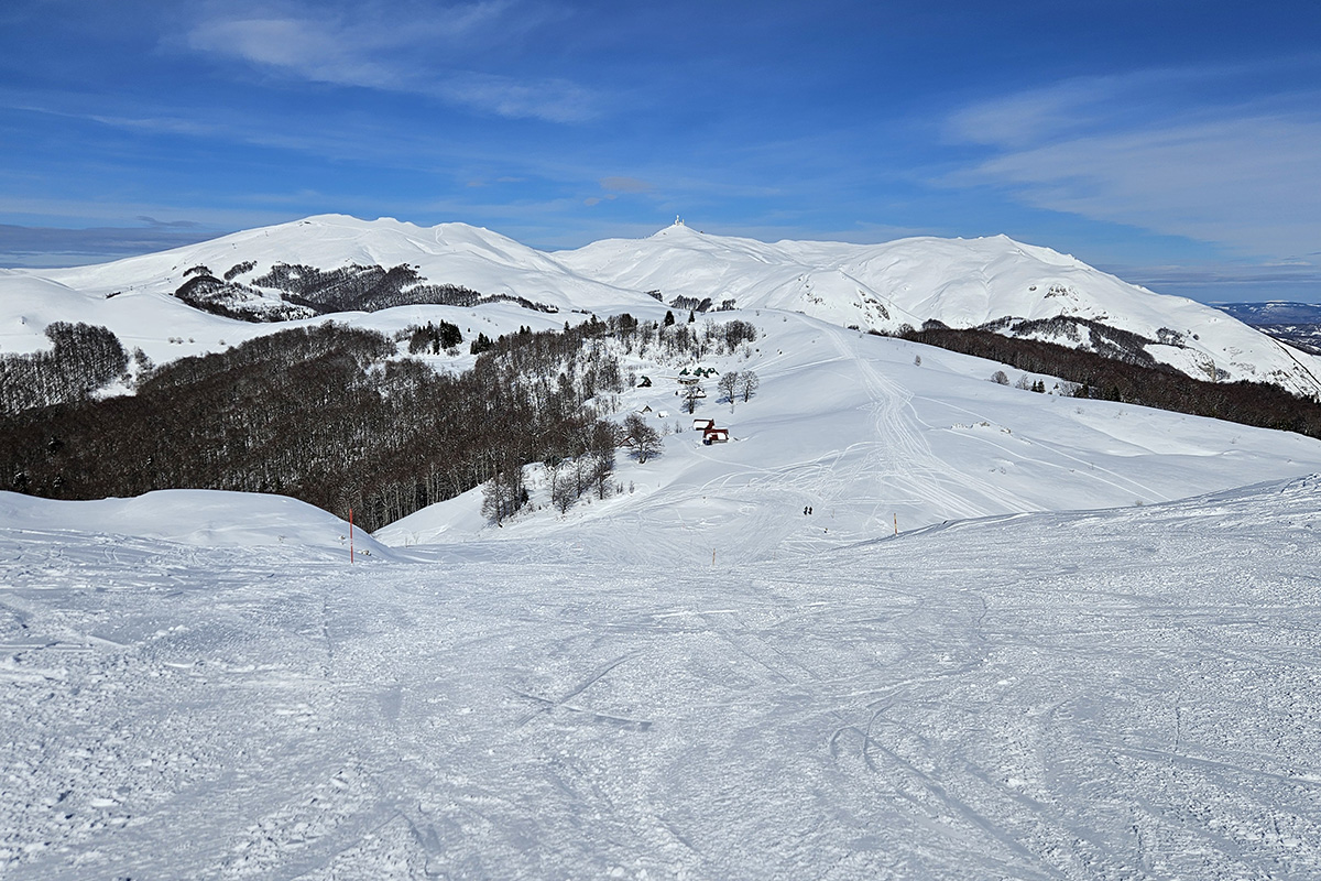
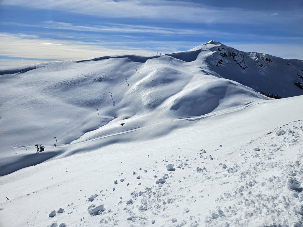
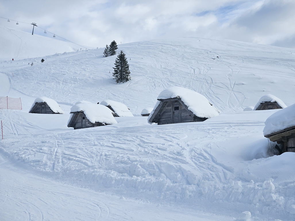

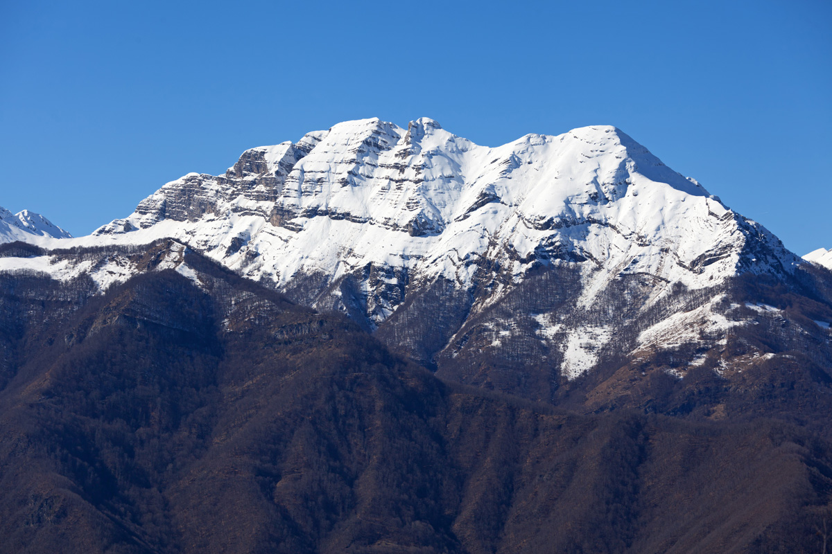
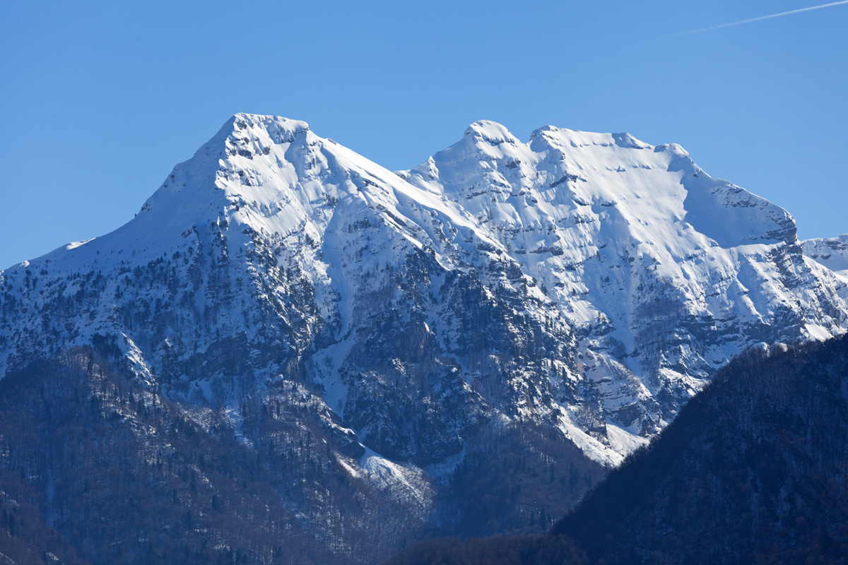
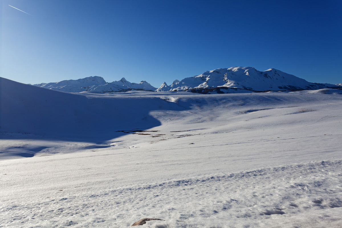
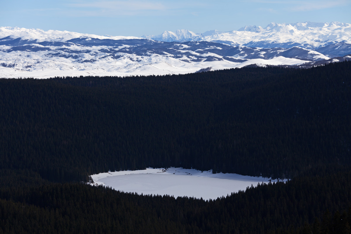
Bjelasica, Troglava Peak 2072m (VR)
South of Crna Glava and Zekova Glava, this is the highest point of the Kolašin Ski Center.
.jpg)
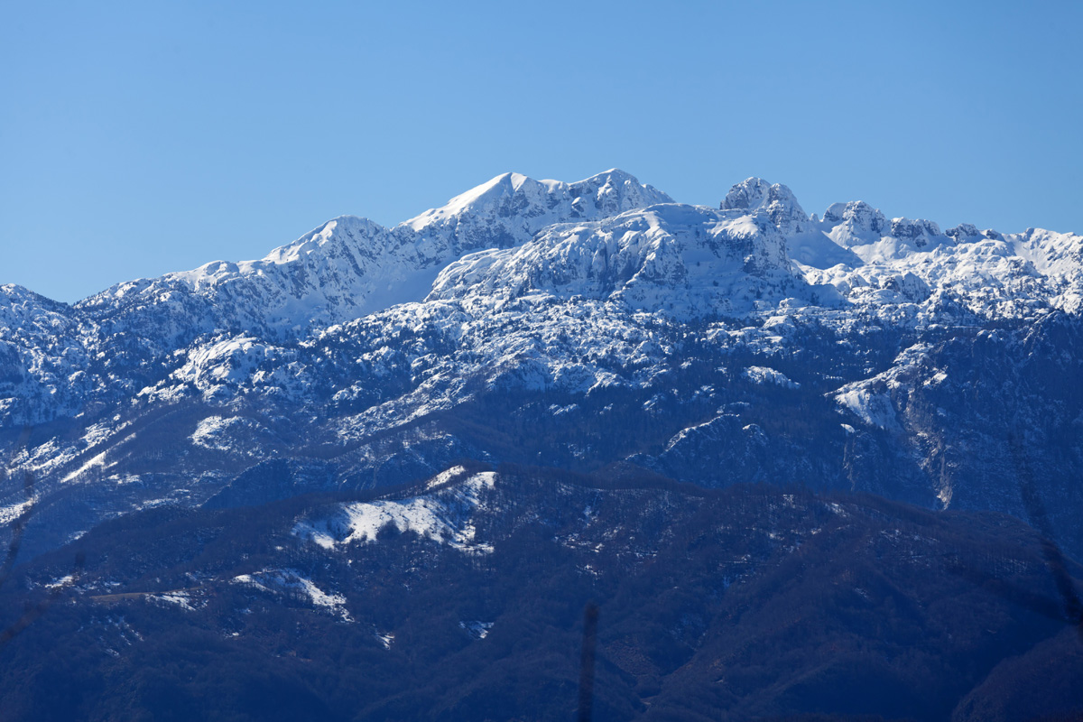

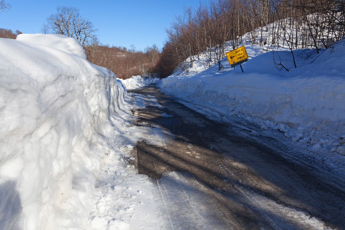
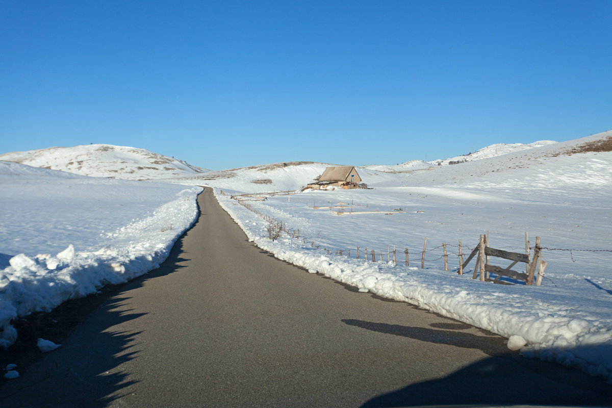
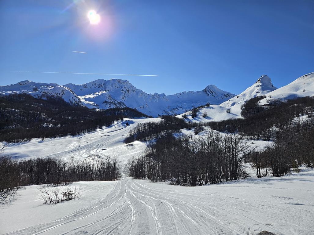
Mioska - Boan road, Redice village (VR)
This road is the only connection between northwest and southeast central Montenegro. It navigates carefully between the massive ridges of Sinjajevina (north) and Moračke Planine (south) mountains. It climbs towards the Semolj saddle at 1800m, and continues towards Šavnik and Žabljak.

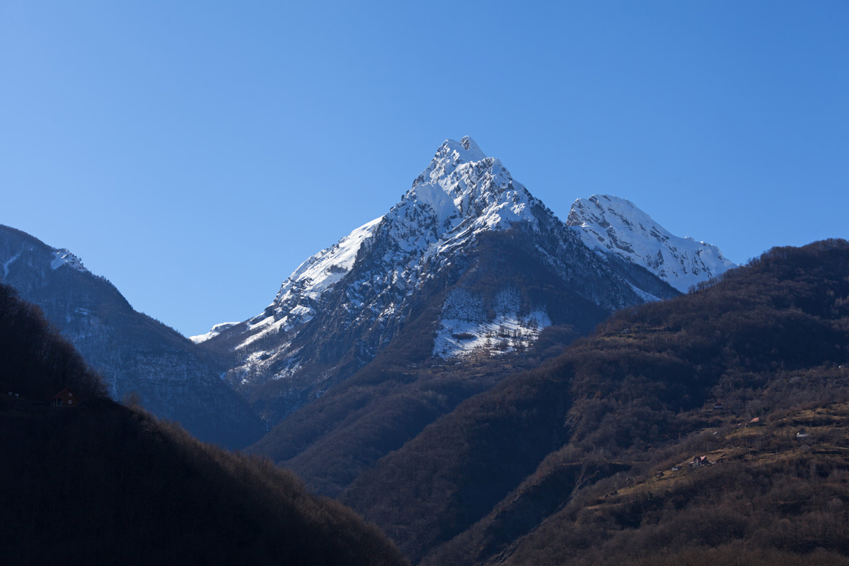
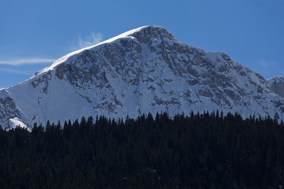
Durmitor from the Žabljak village
The most recognizable landscape of Durmitor, now in winter.
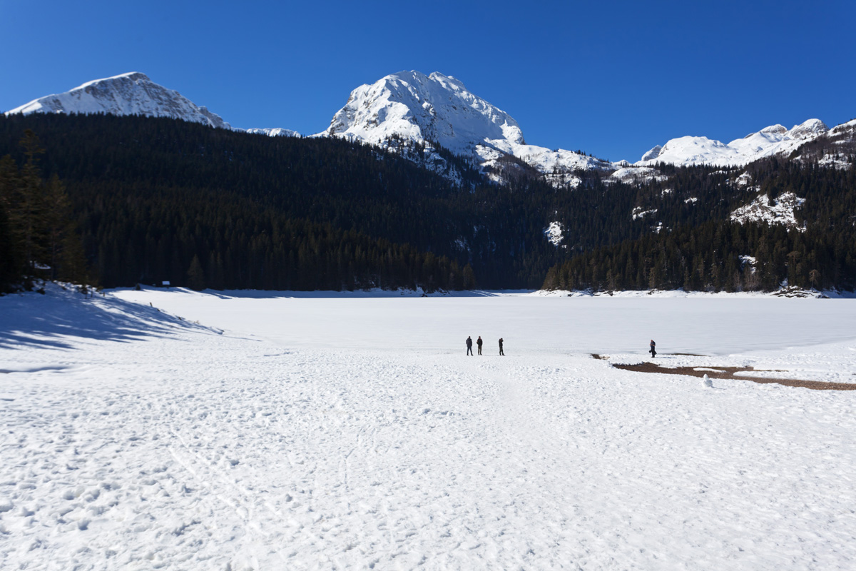
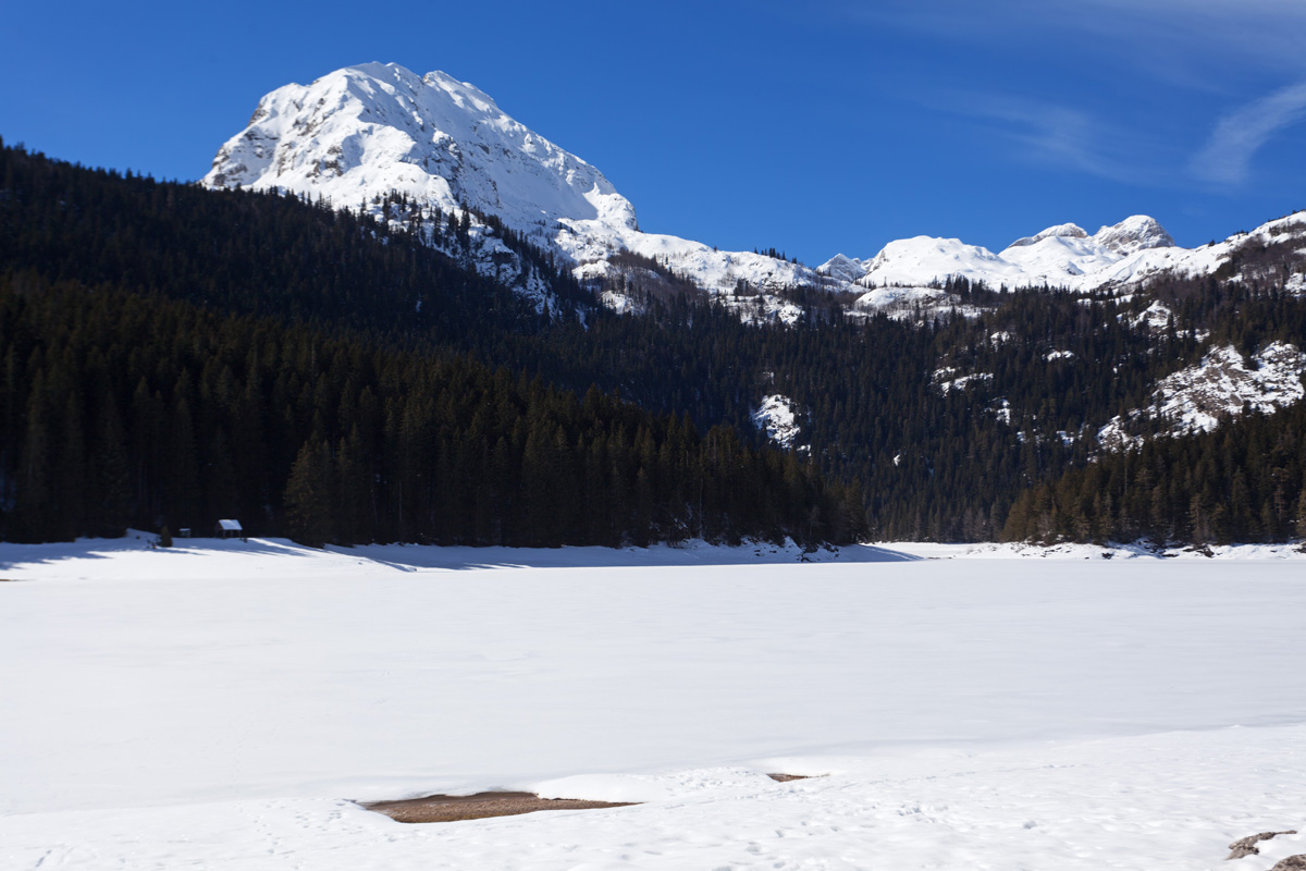
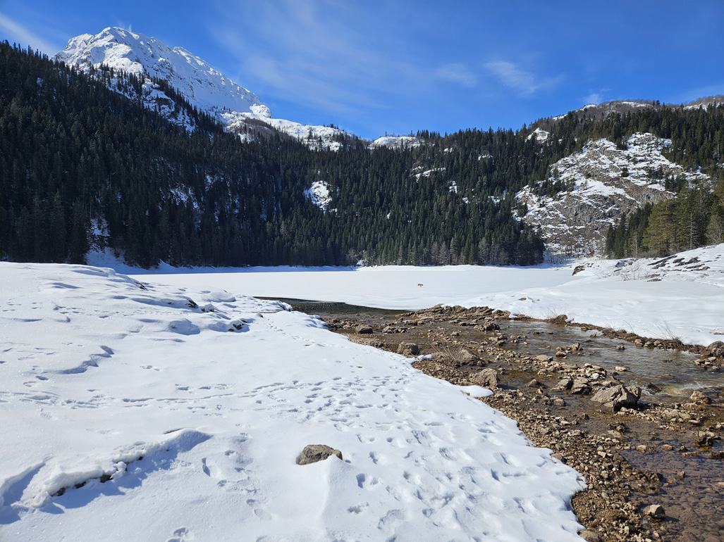

Malo Crno Jezero (Little Black Lake) (VR)
Malo Crno Jezero connects with its sibling Veliko Crno Jezero when the level is high, although underground siphons also exist. Despite having a smaller surface area after which it was named, Malo Crno Jezero is twice as deep (49m vs. 24m) and has a greater volume. It is also the primary feeding target for both underground and ground streams coming from Mali Međed ridge.
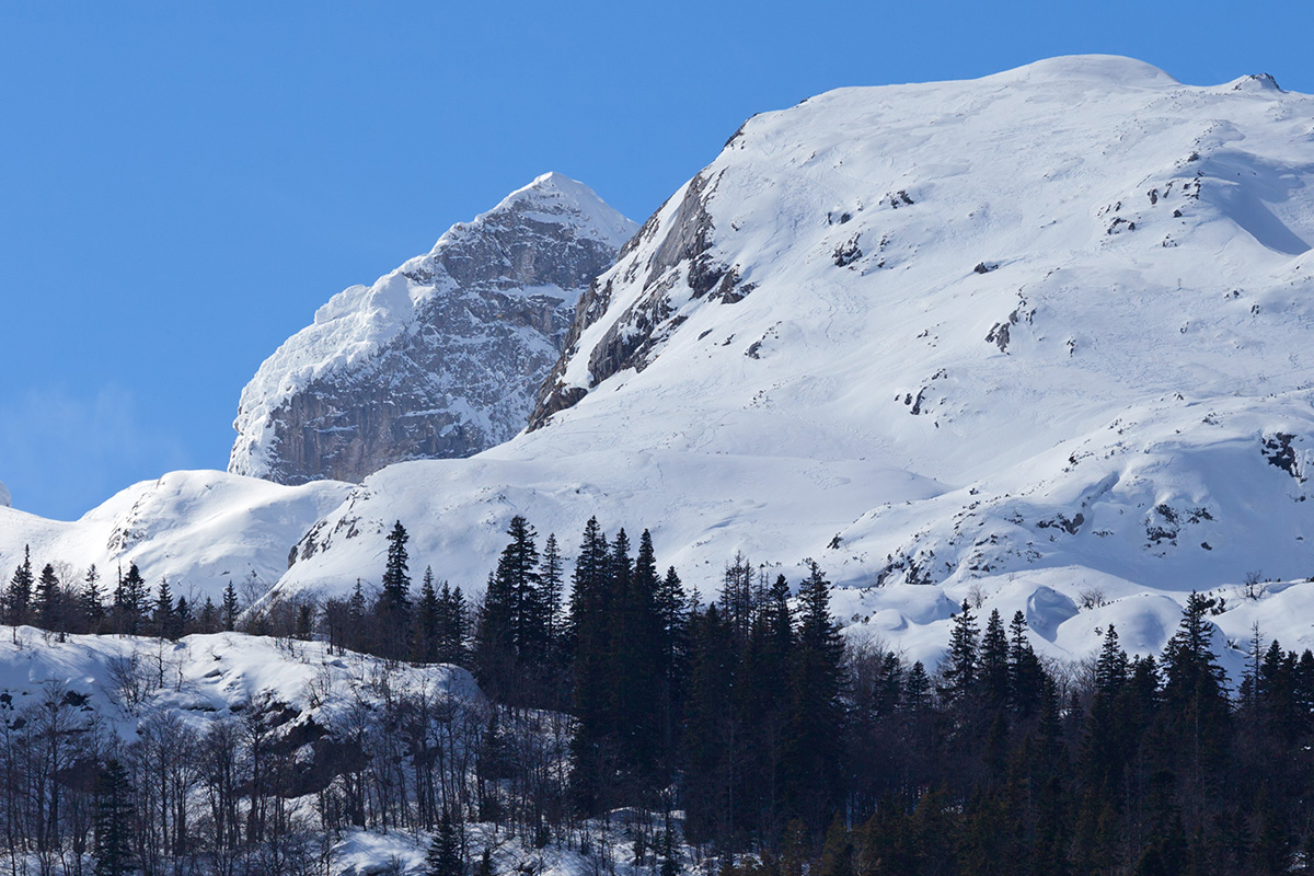

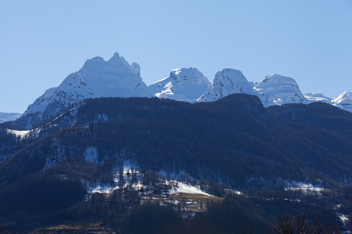
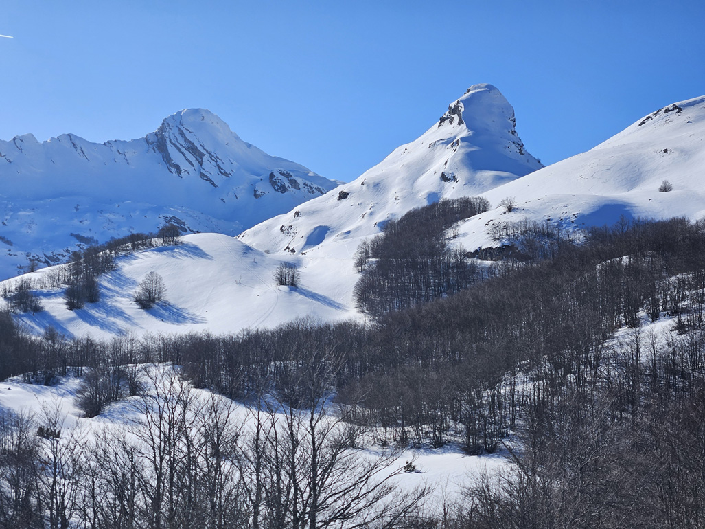
Durmitor from Ražana Glavica (VR)
This spot is relatively accessible in winter, unlike most of other peaks that require skill and equipment to climb safely.
.jpg)

Pošćenska Dolina (VR)
This valley opens towards the southern Durmitor and the Saddle pass (Sedlo). A very scenic road towards Trsa goes through here, accessible only during summer.

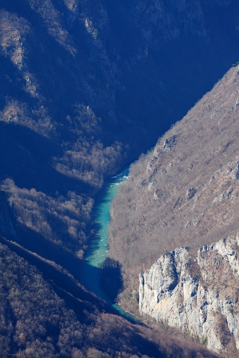
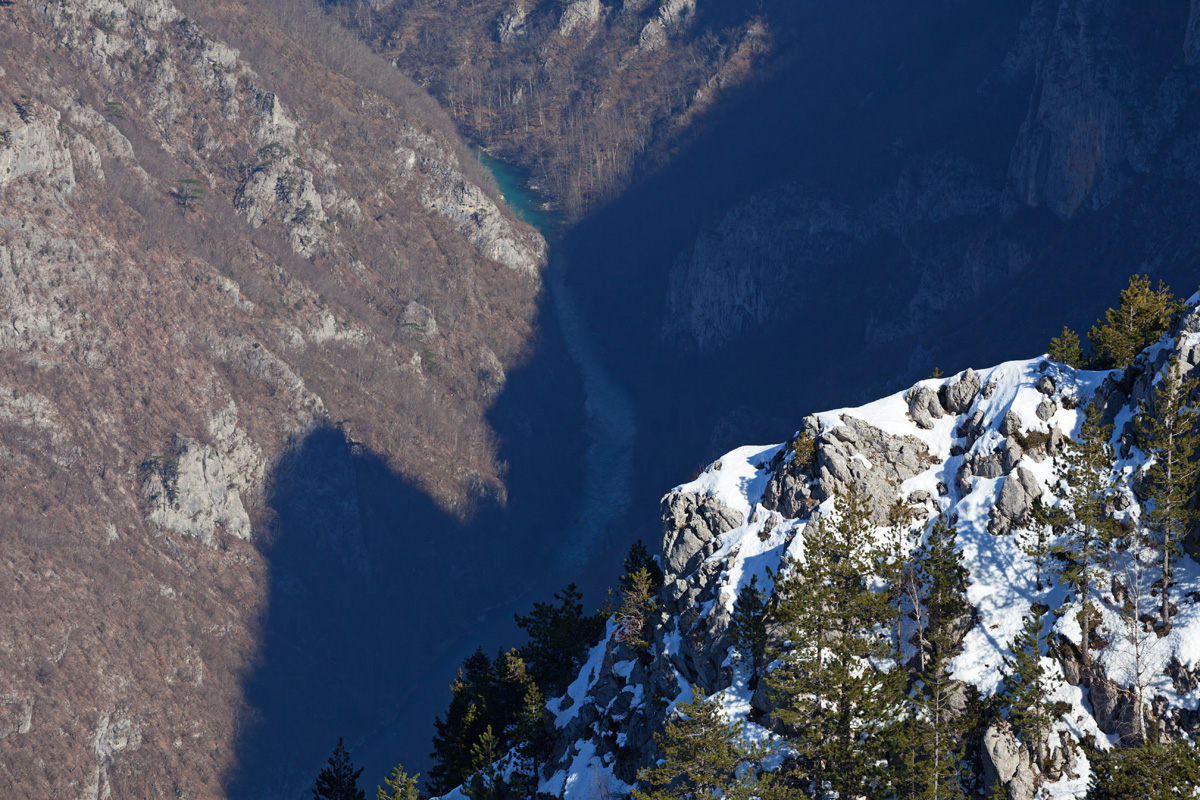
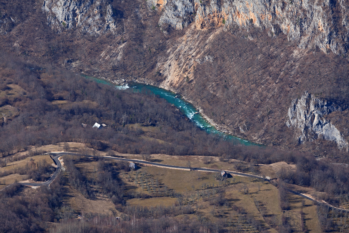
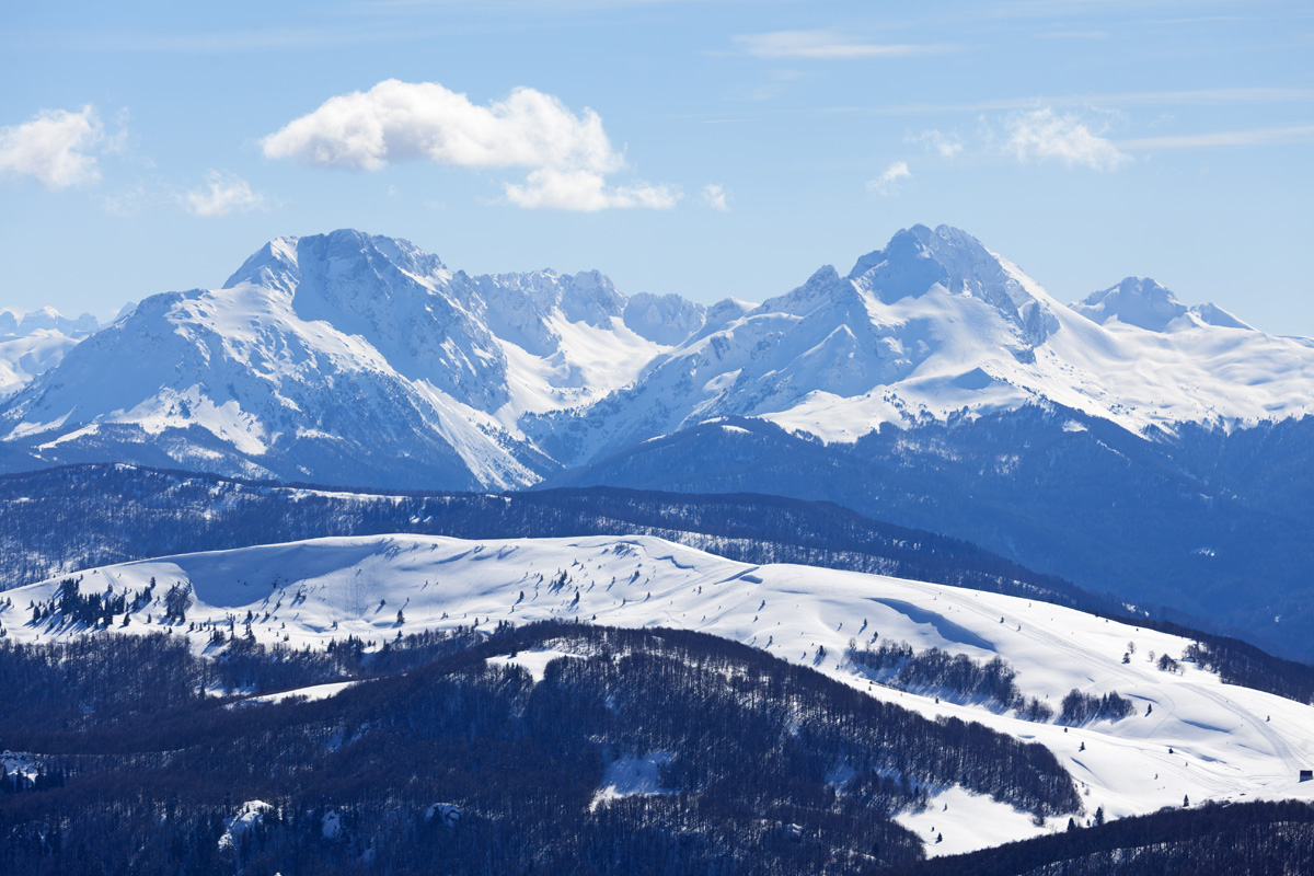
Tara Canyon from the Ćurevac Viewpoint (VR)
This canyon is the deepest in continental Europe, at approx. 1300m it's not far behind the Grand Canyon in the USA. Ćurevac viewpoint is above the Tepca village, an isolated natural refuge in one of the wider sections of the canyon.